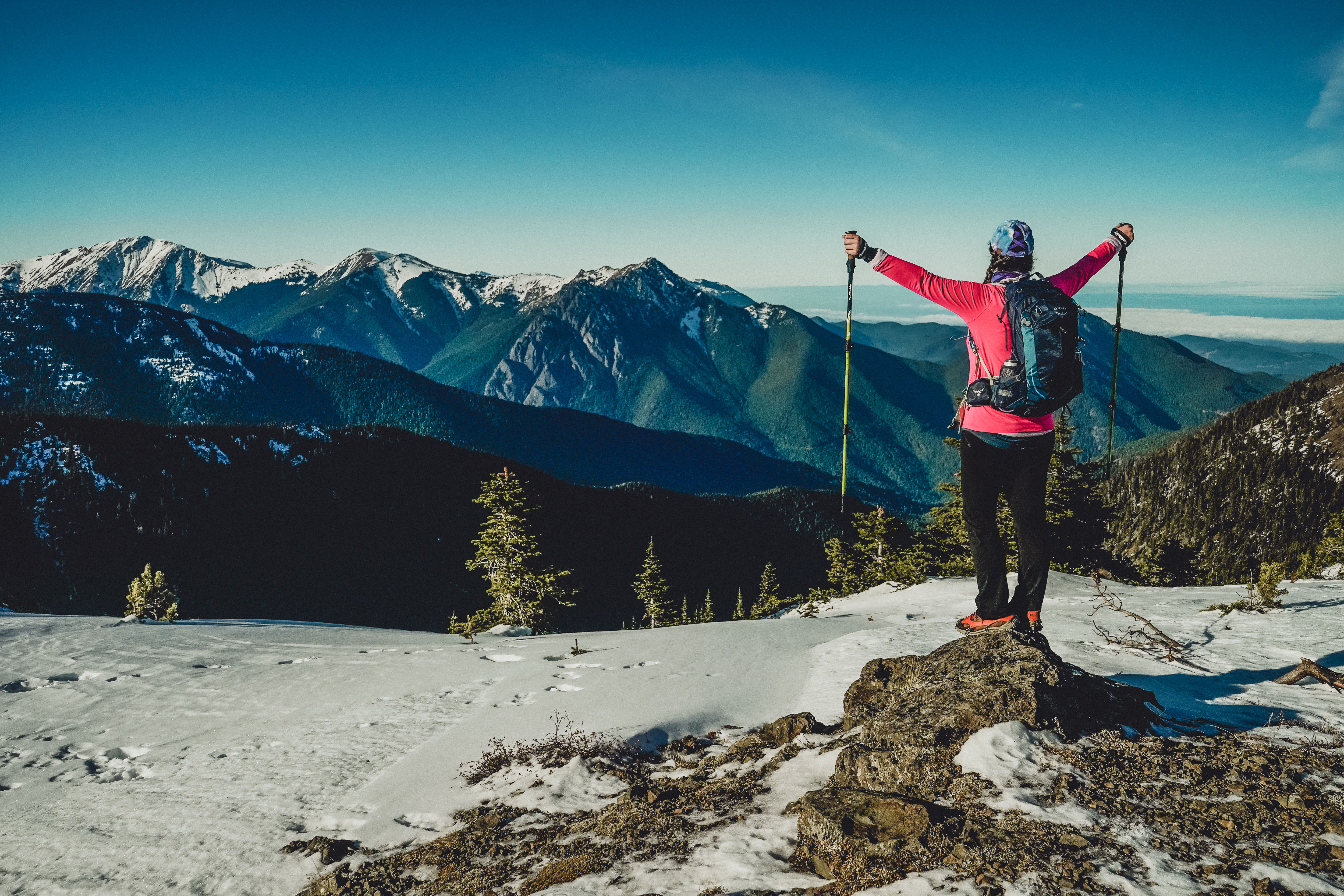
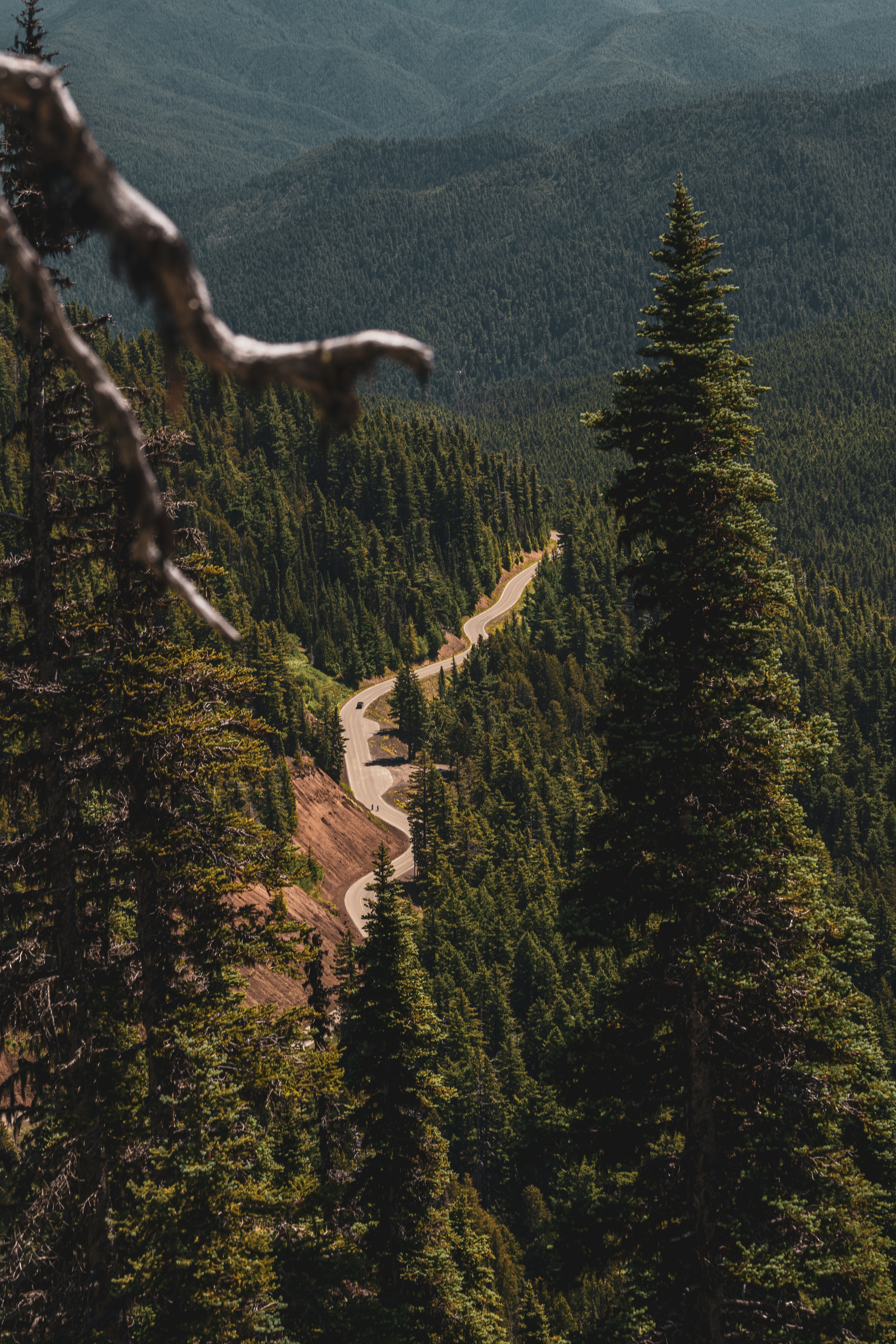
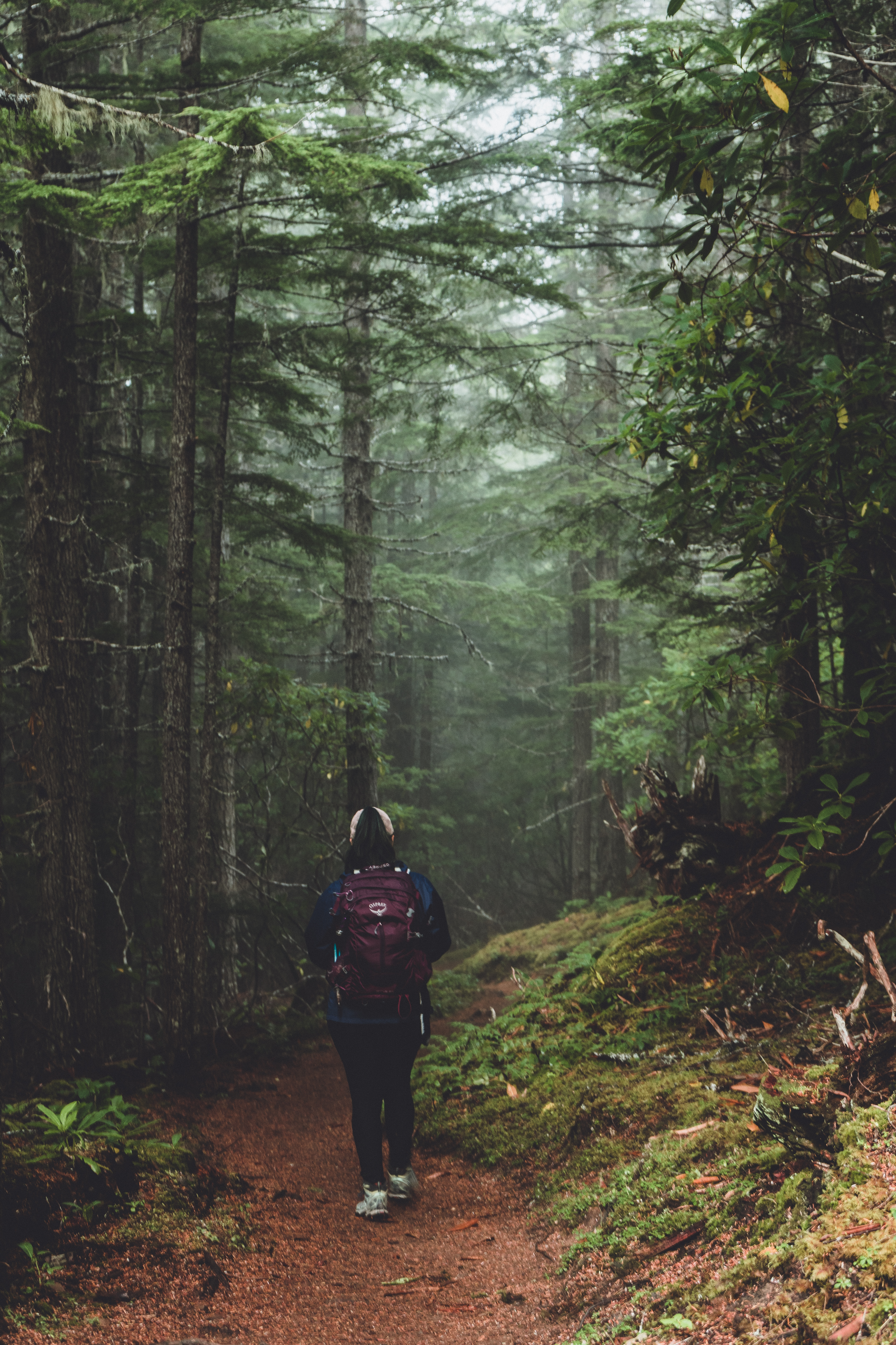
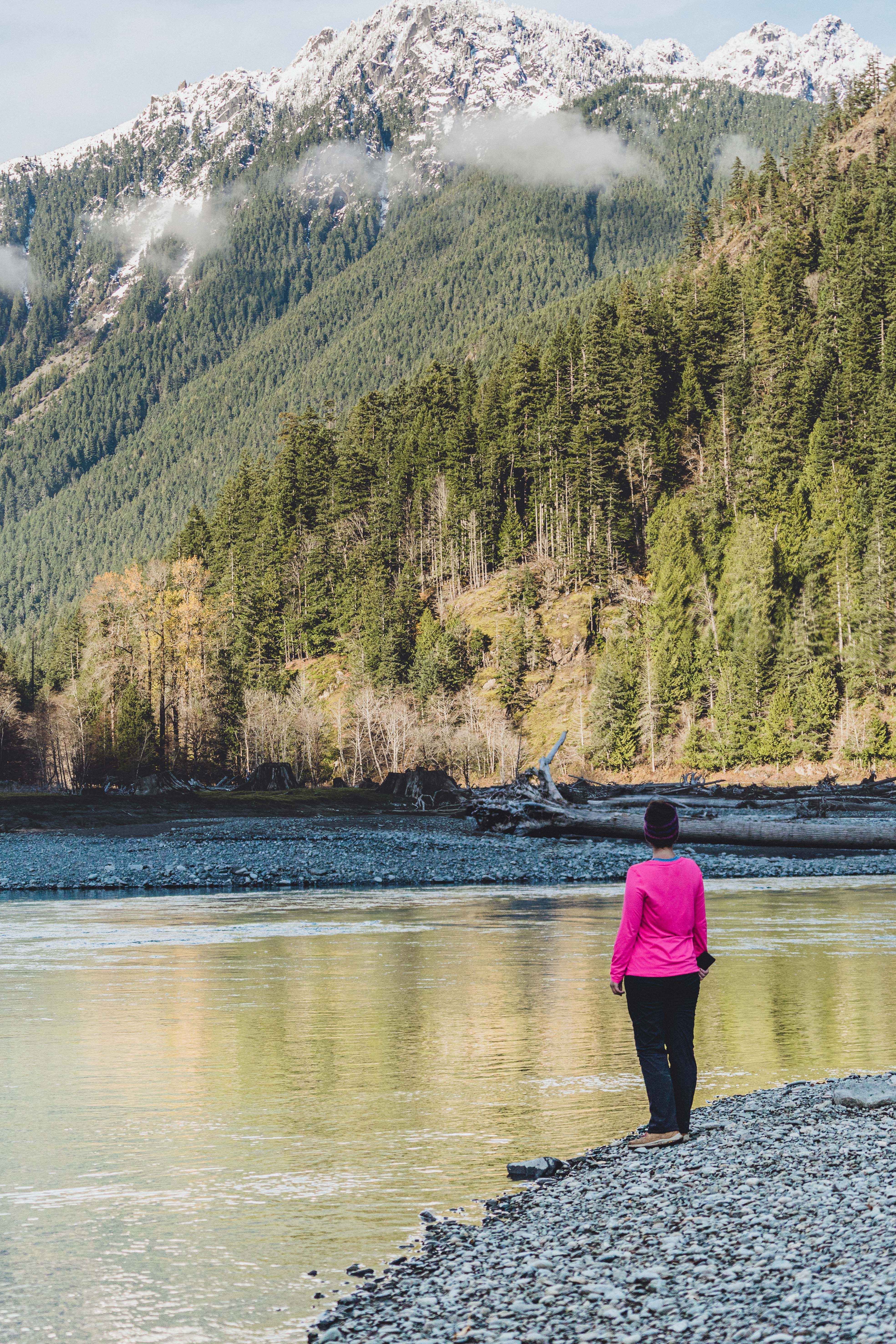
I started this year without a simple goal: to do as many hikes as I could! I started off slow, only completing one hike in January and one in February. As the weather warmed in March, COVID happened, state and Federal lands closed, and Mike and I started house hunting. After we found a place to buy, our weekends were spent packing, moving, and doing all sorts of new house projects.
I managed to do one hike each month in July, August and September. This fall though, I finally hit my stride, finishing five hikes in October, three in November and four in December. Mike joined me when he could. Other times I hiked with new friends or my Dad. In eight months, I completed 17 hikes, 150 miles and climbed 38,675 vertical feet. It might not sound like much, but for someone who moved to Washington from the unvaried terrain of Eastern Virginia, it was a lot of hiking!
While I ponder what my 2021 goal will be, I thought I’d provide a review of each 2020 hike, ranked in order of how much I enjoyed them (although I tend to say every hike is my favorite hike).
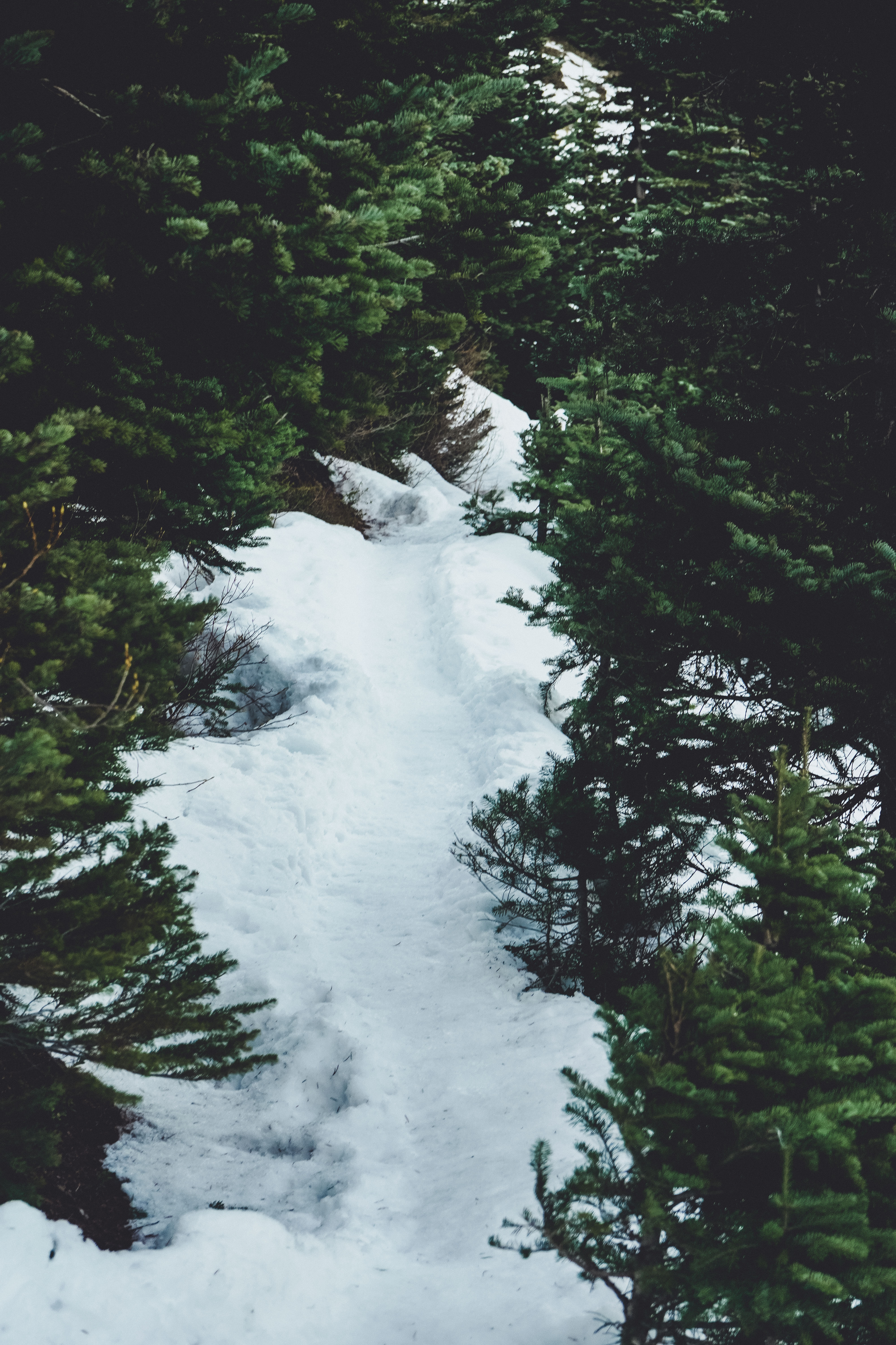
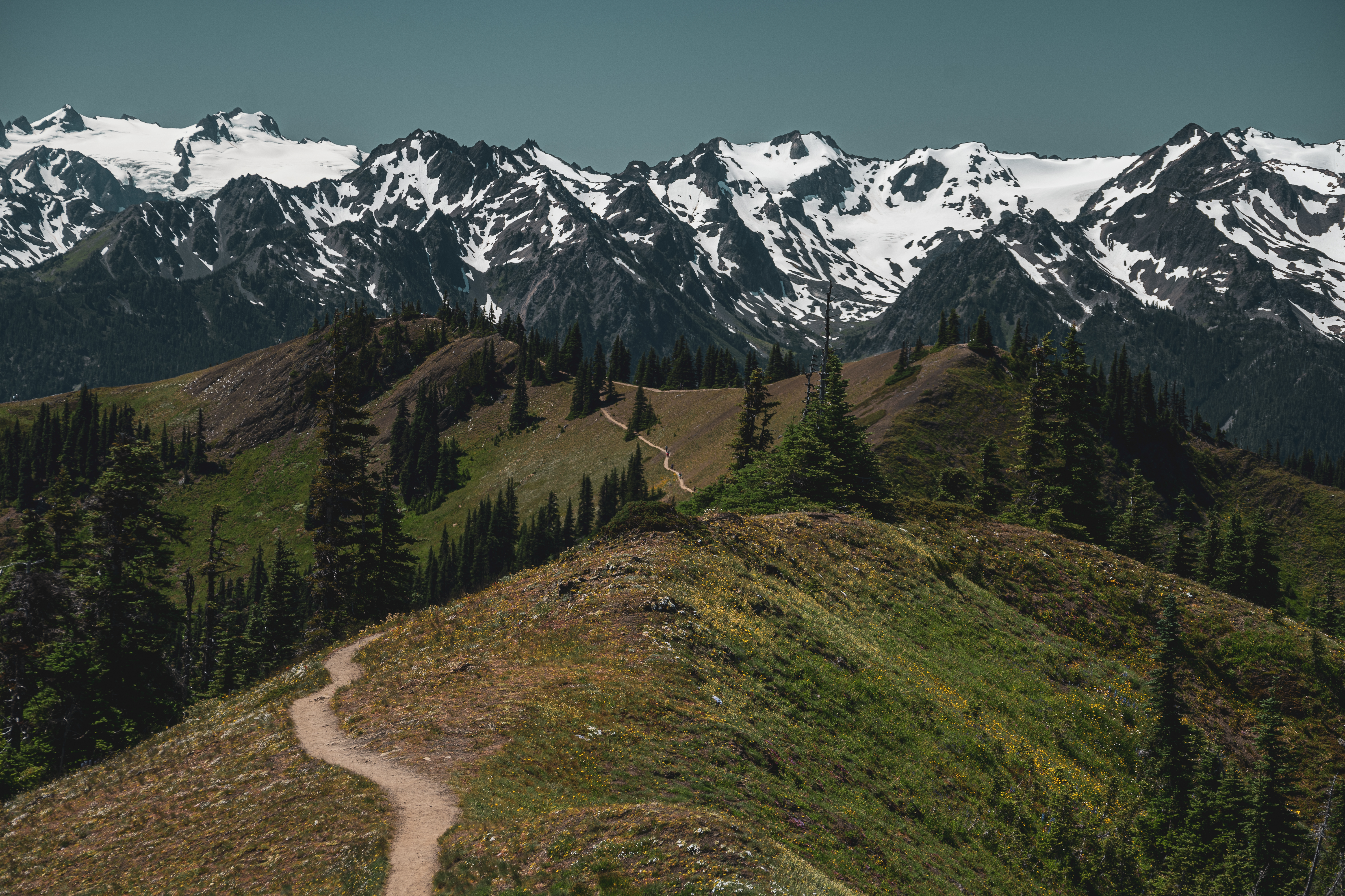
Klahhane Ridge via Switchback: 11 miles, 4000 feet
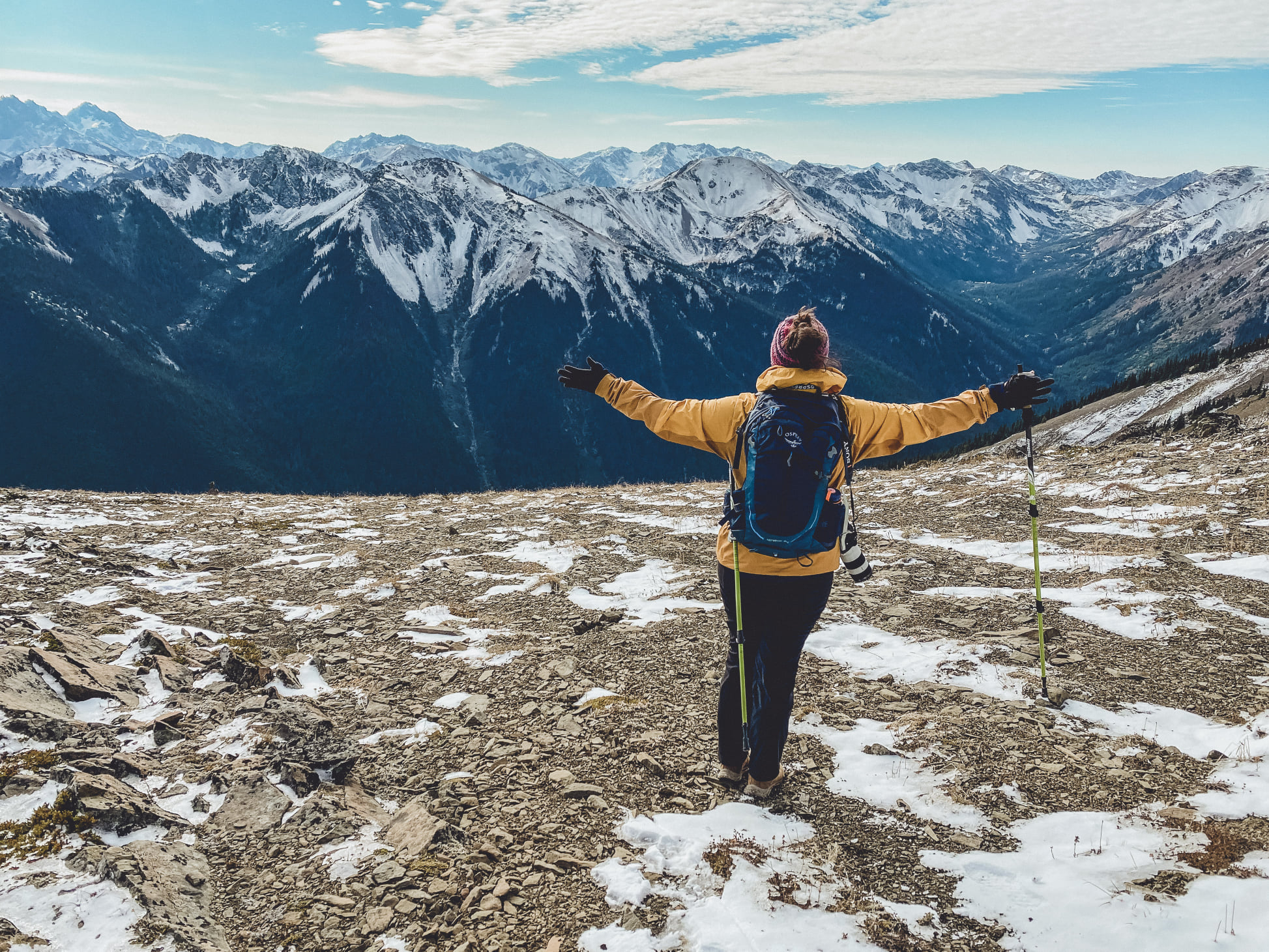
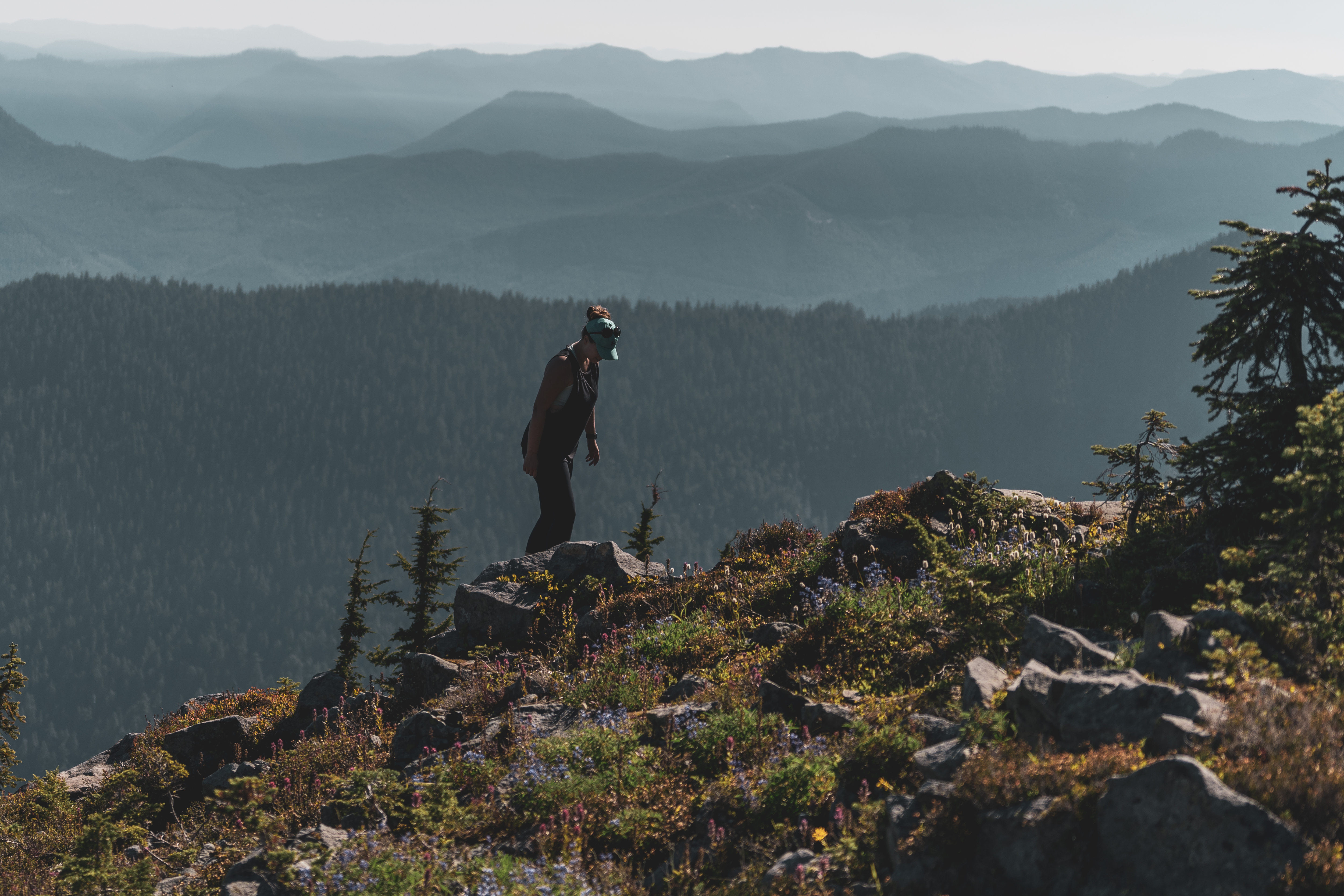
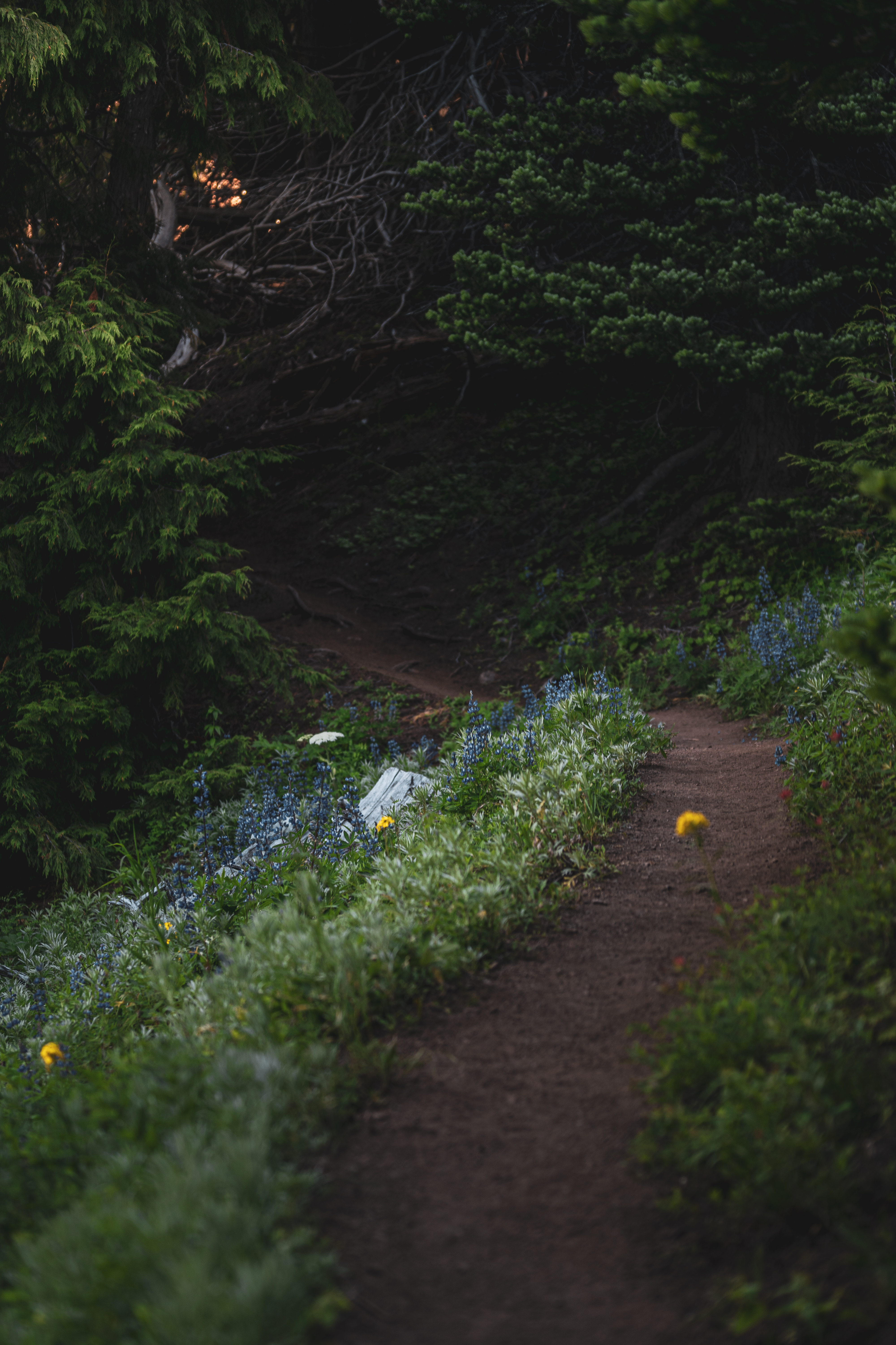
Completed with Mike and Katie. The trails near Hurricane Ridge are some of my favorites. Many of the trails connect at various points and there are multiple ways to enjoy this section of the Olympics. We decided to start at the Switchback trailhead near the top of Hurricane Ridge Road, climbing Switchback to Klahhane Ridge and almost all the way down to Lake Angeles and back. This was a challenging hike but the reward was huge. What a beautiful trail, even in October after the wildflowers were gone. The views from the ridge were unbeatable. There were several very steep parts getting up to the ridge and then down to the lake that had me questioning my sanity. The trail along the ridge and down to the lake were icy and having poles helped. Even though it was a long, exhausting day, it was my favorite hike of the year because of the challenge/views payoff. View on All Trails.
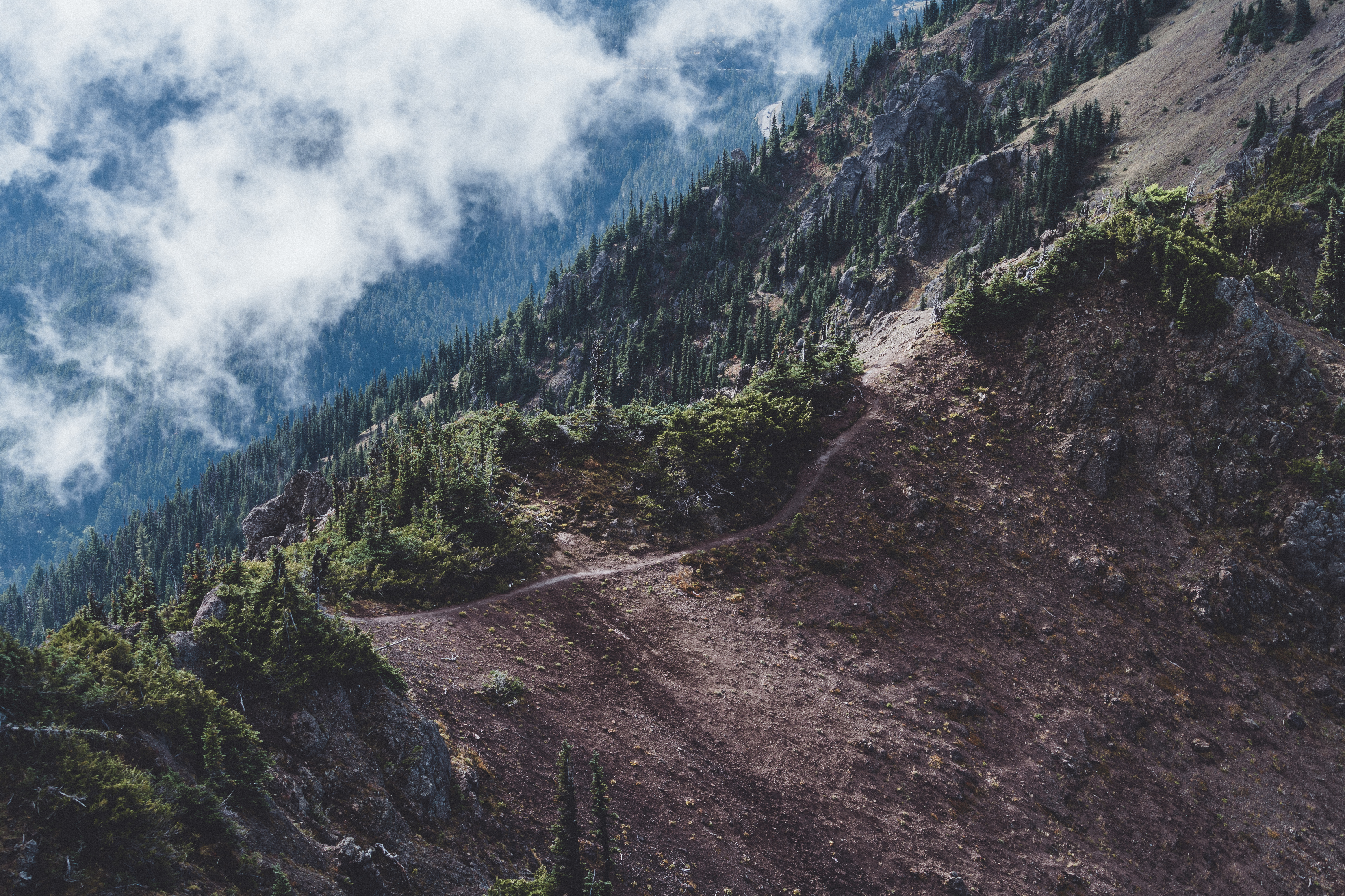
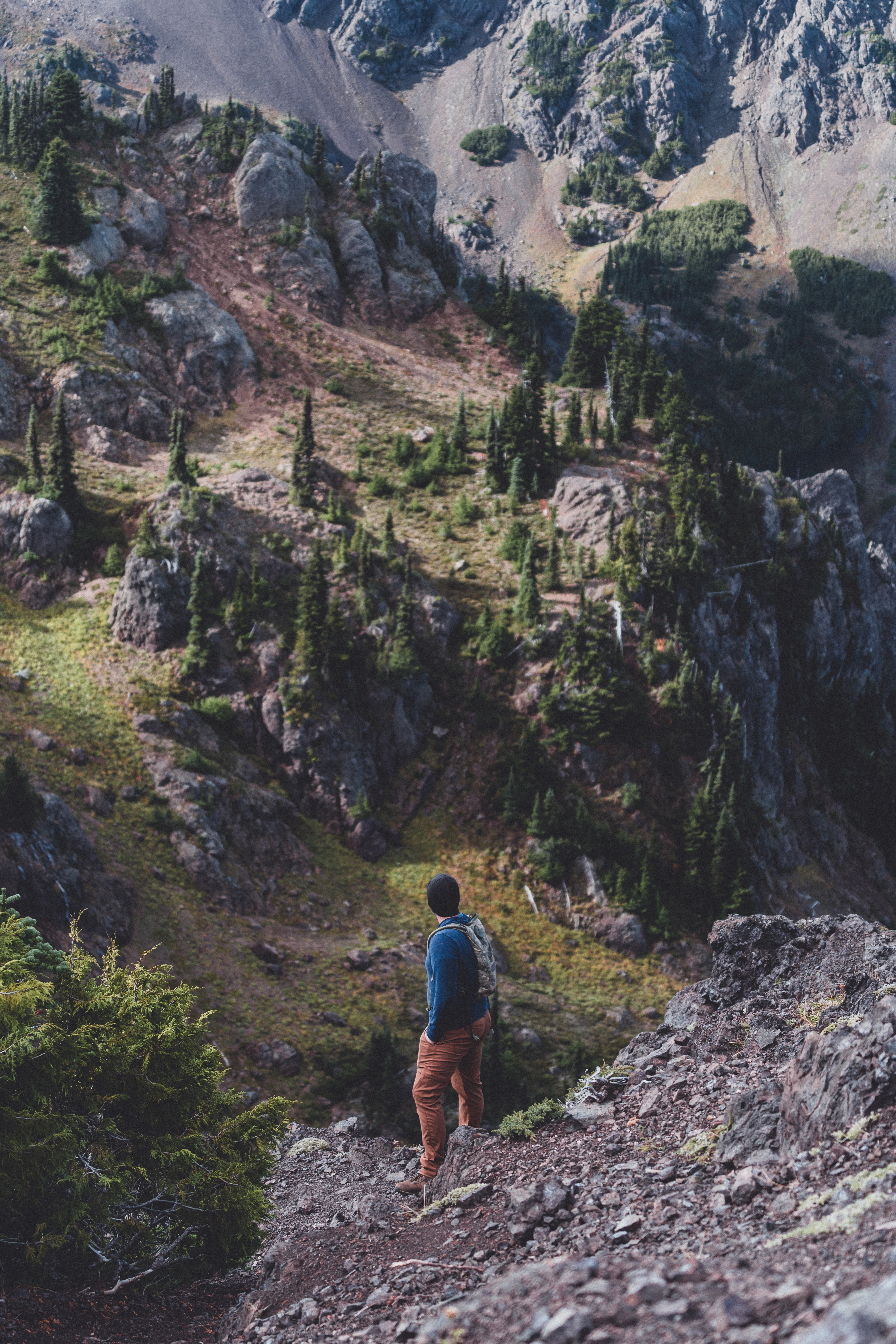
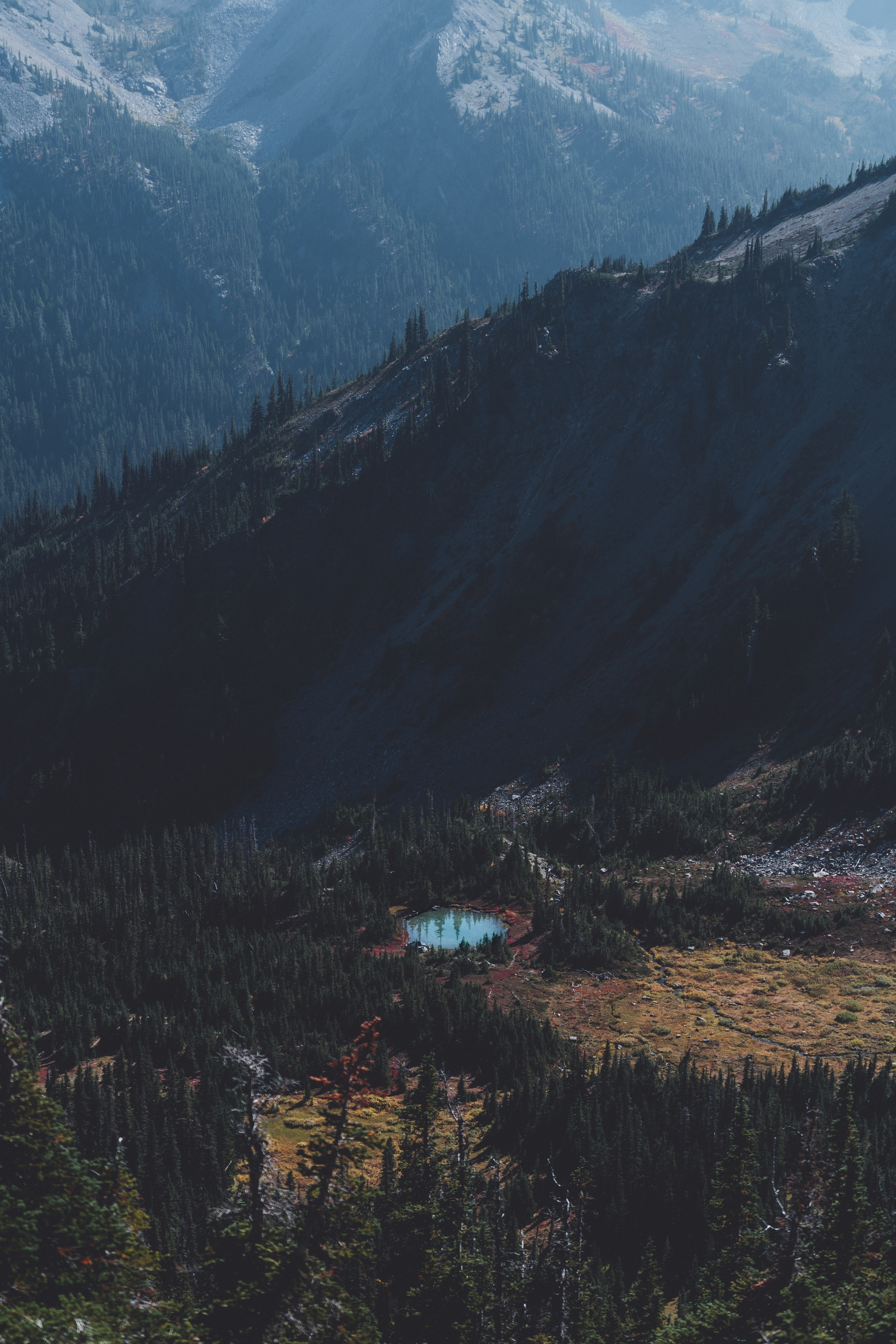
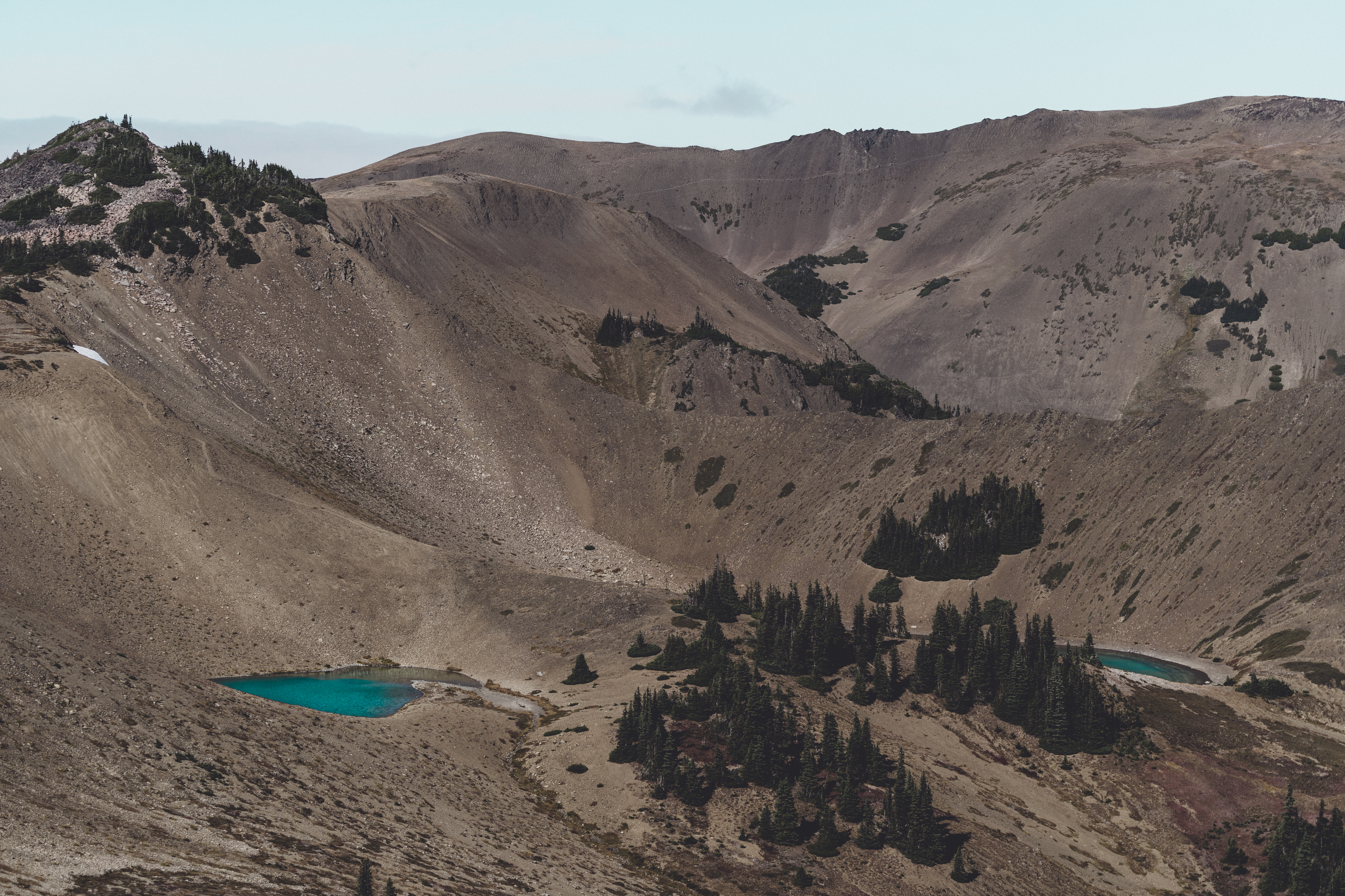
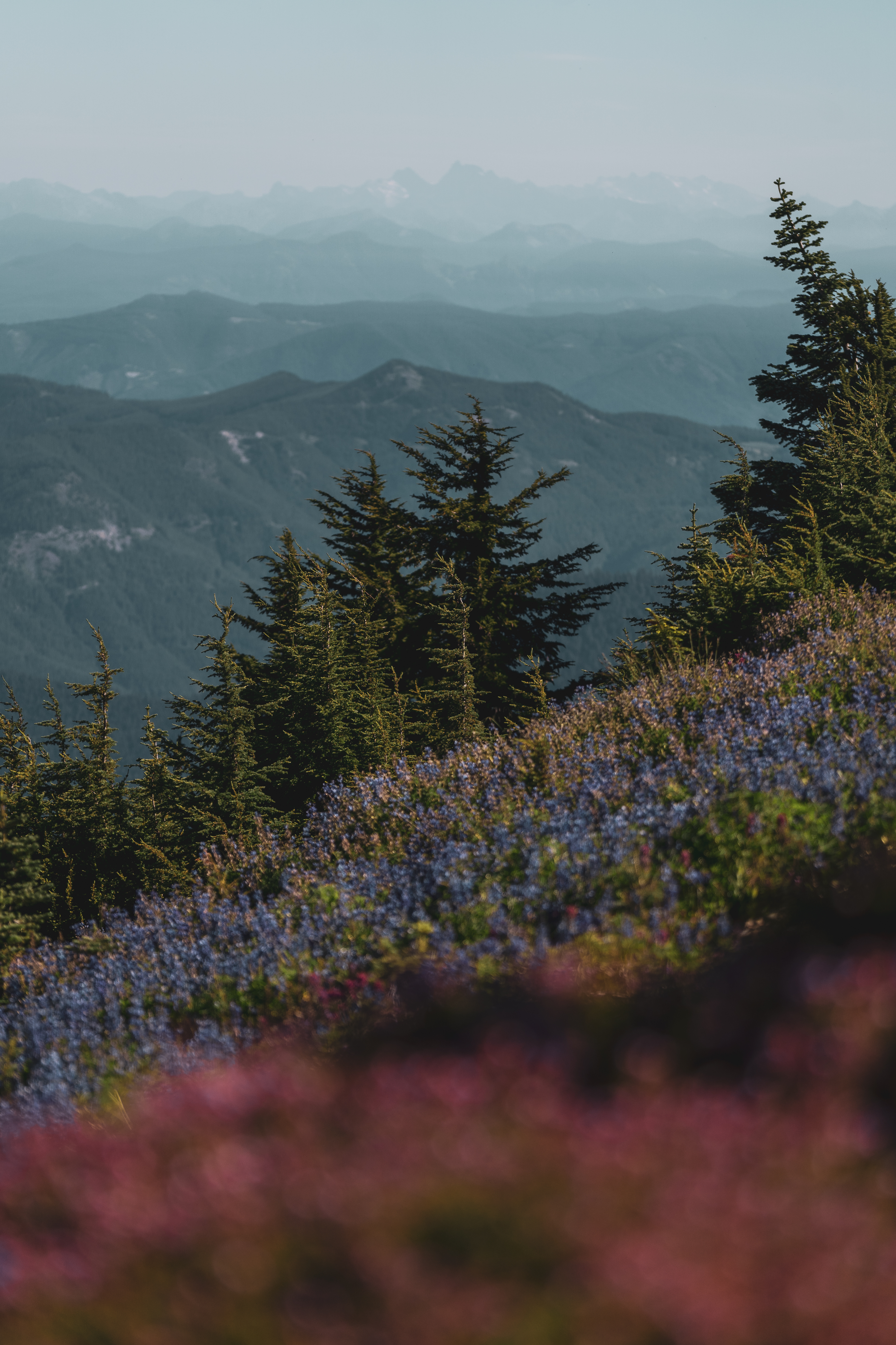
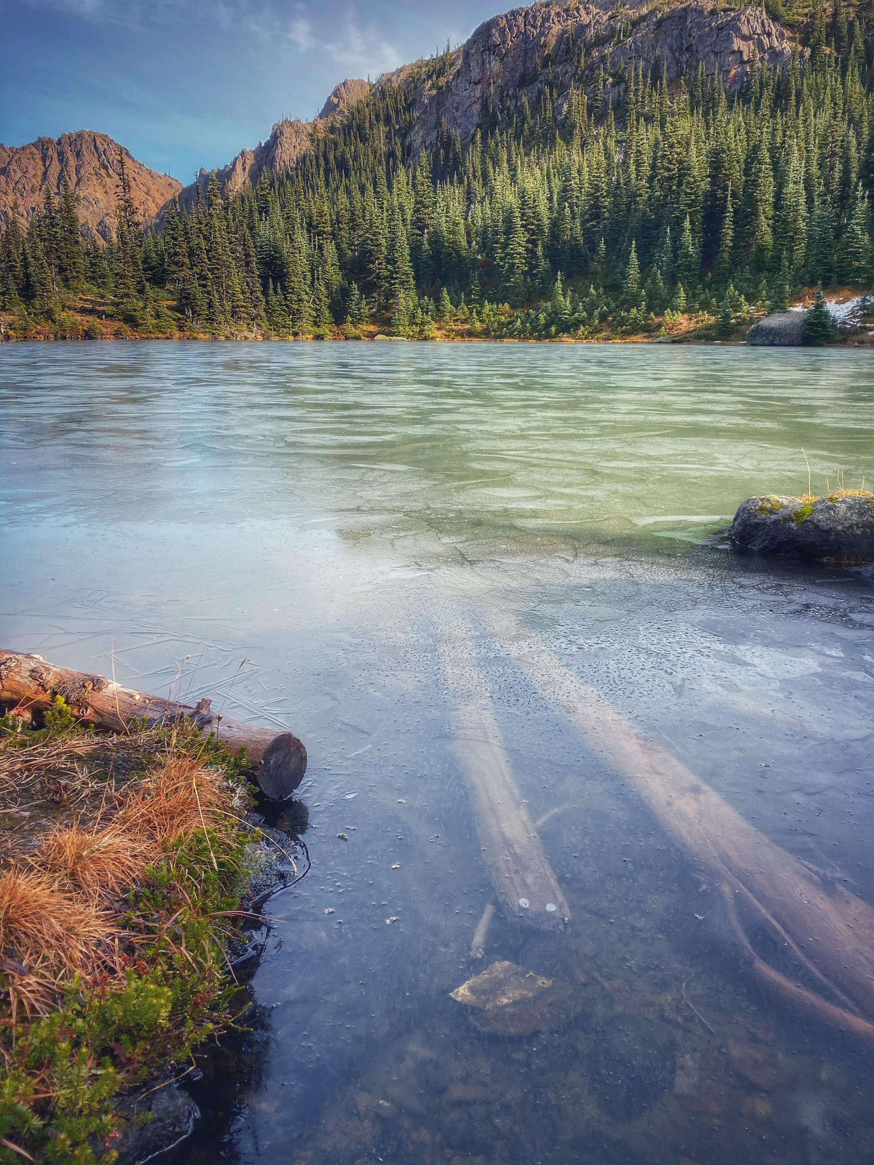
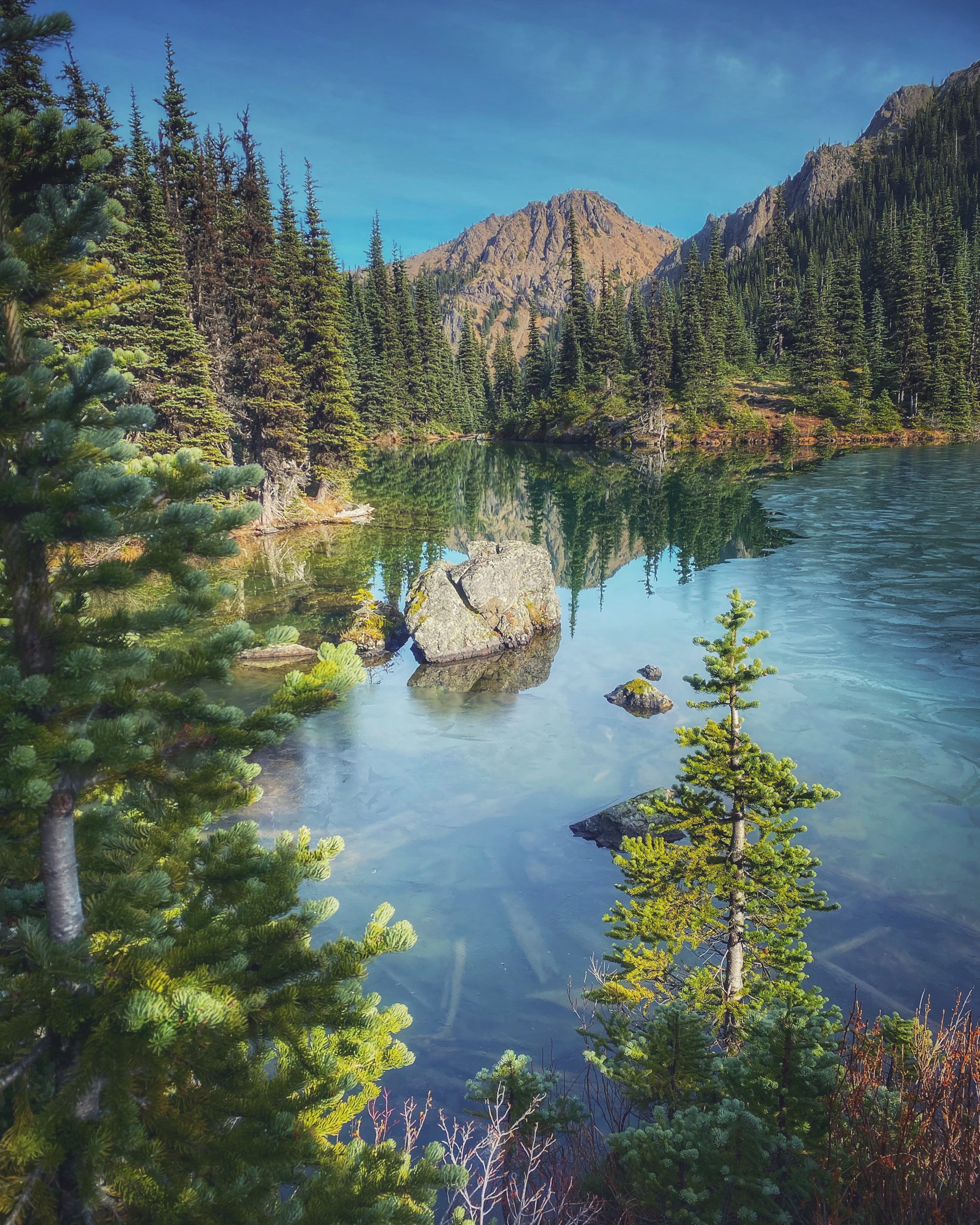
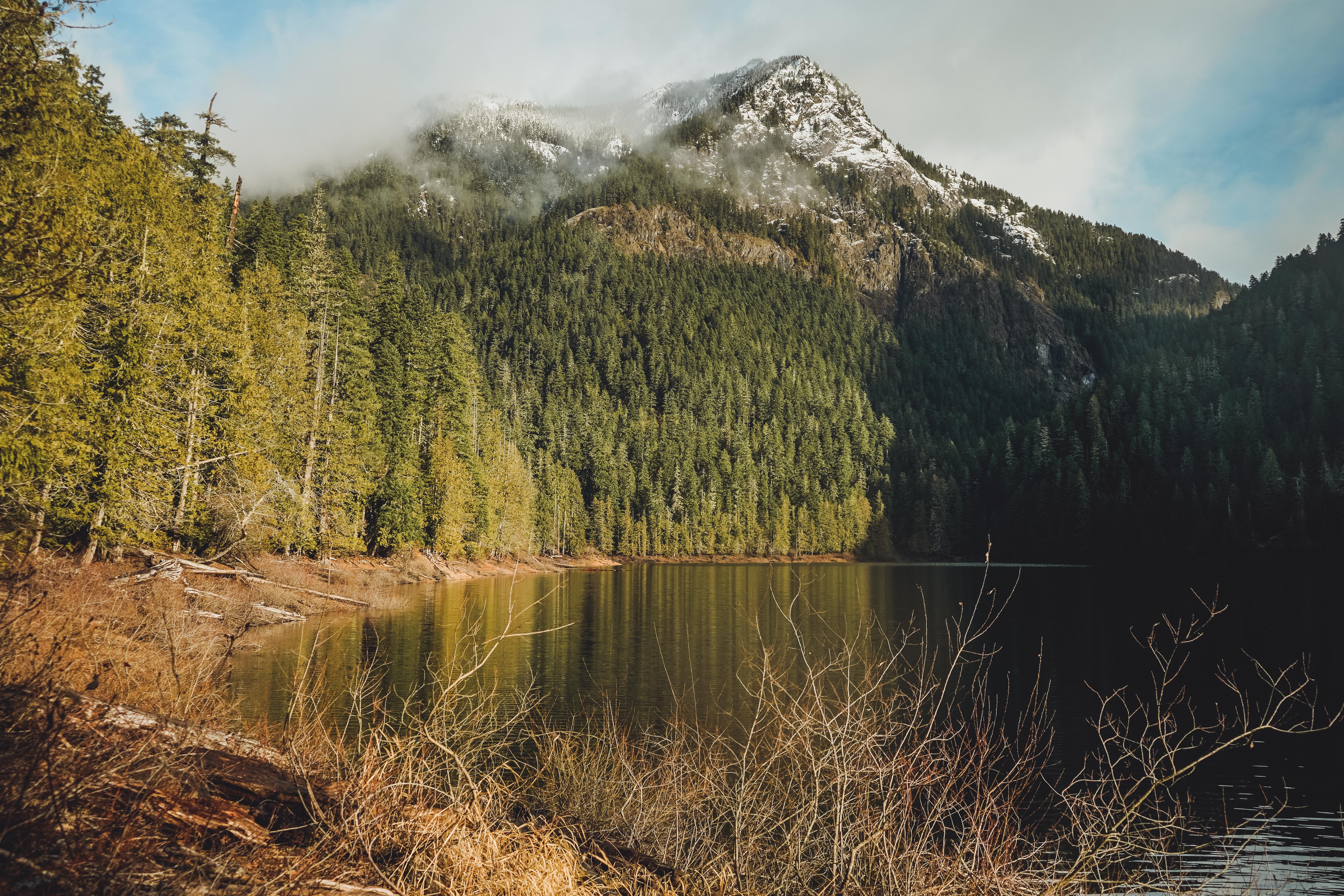
Badger Valley to Grand Lake and Grand Pass: 10 miles, 2700 feet
Mike woke up with a bad headache, so I completed this one solo on a Sunday in early October. I started to the left on Badger Valley Trail, climbed down to the lake and came back up Grand Pass. Badger Valley was an absolute delight. You get a little bit of everything, landscape wise, and I stopped several times just to enjoy the views and take some photos. The fall colors were incredible. There were several stream crossings that I imagine might be a bit more treacherous after heavy rains. The lake was beautiful and you get really nice views looking back at it from up on Grand Pass Trail. The switchbacks heading back up to Lillian Ridge Way were really challenging for me and I had to stop to take several breaks. Of course there were a couple of people who cruised up past me like it was nothing. I enjoyed the stunning 360 degree views up on the ridge and could have stayed up there forever. View on All Trails.
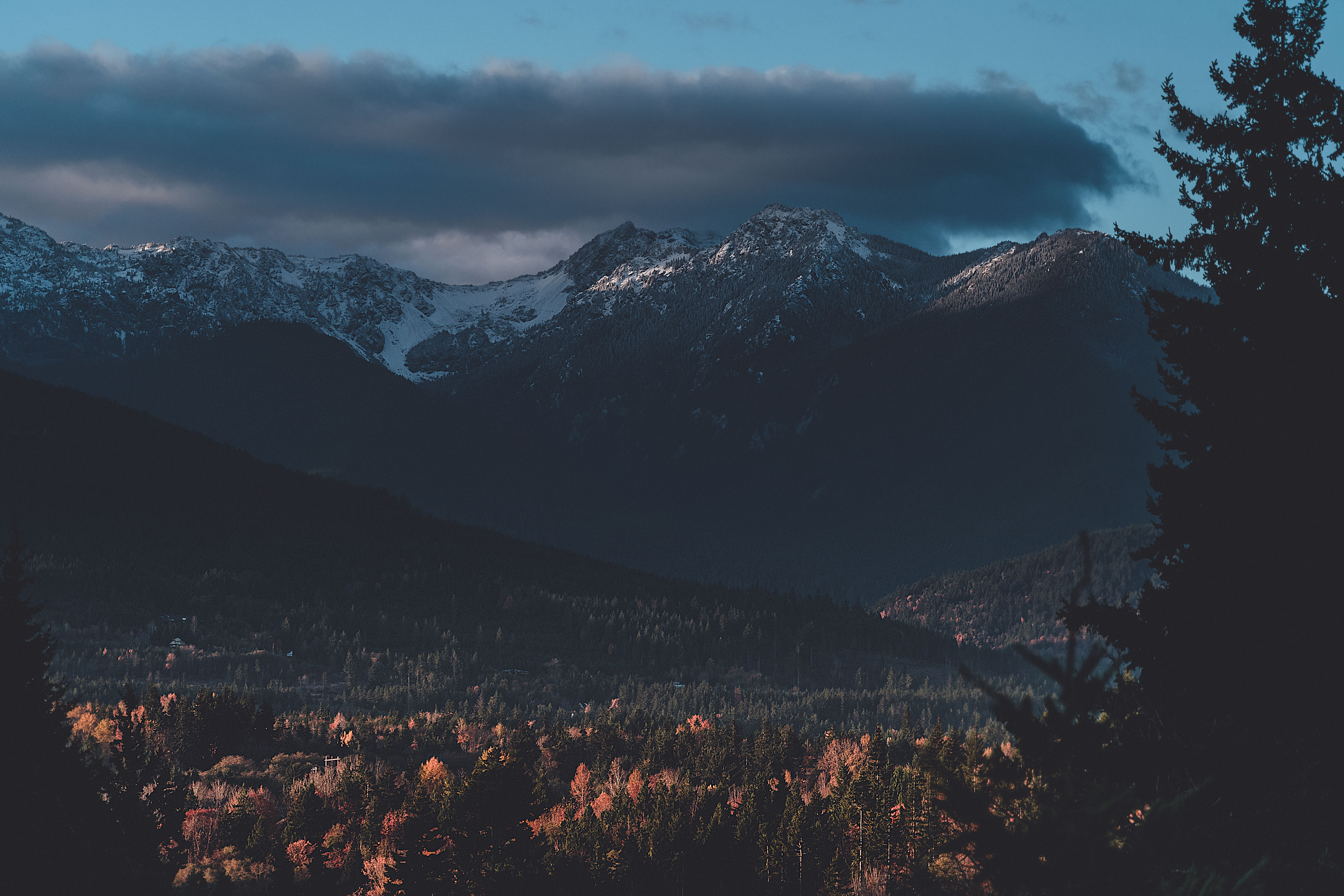
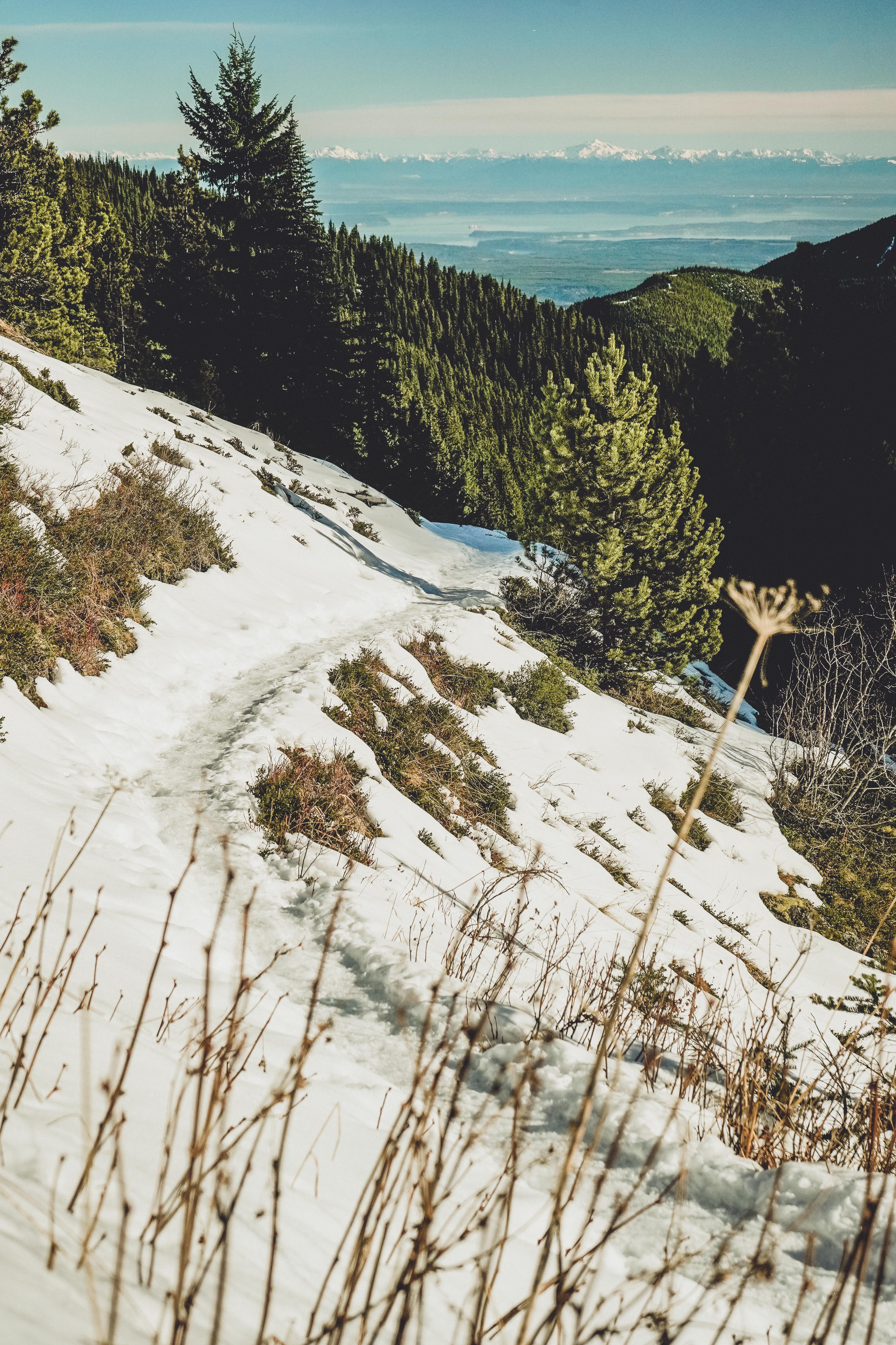
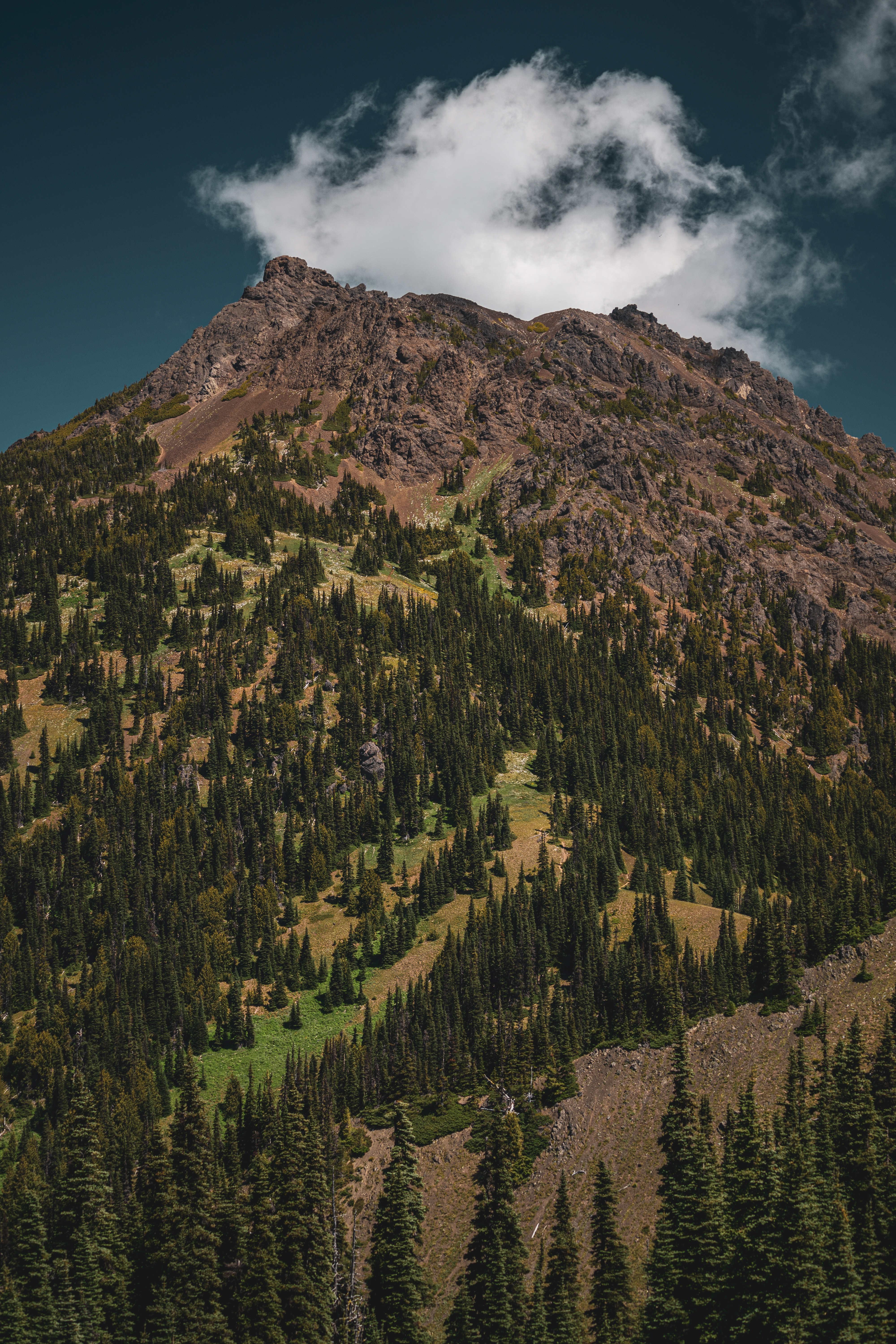
Mount Townsend: 9 miles, 3000 feet
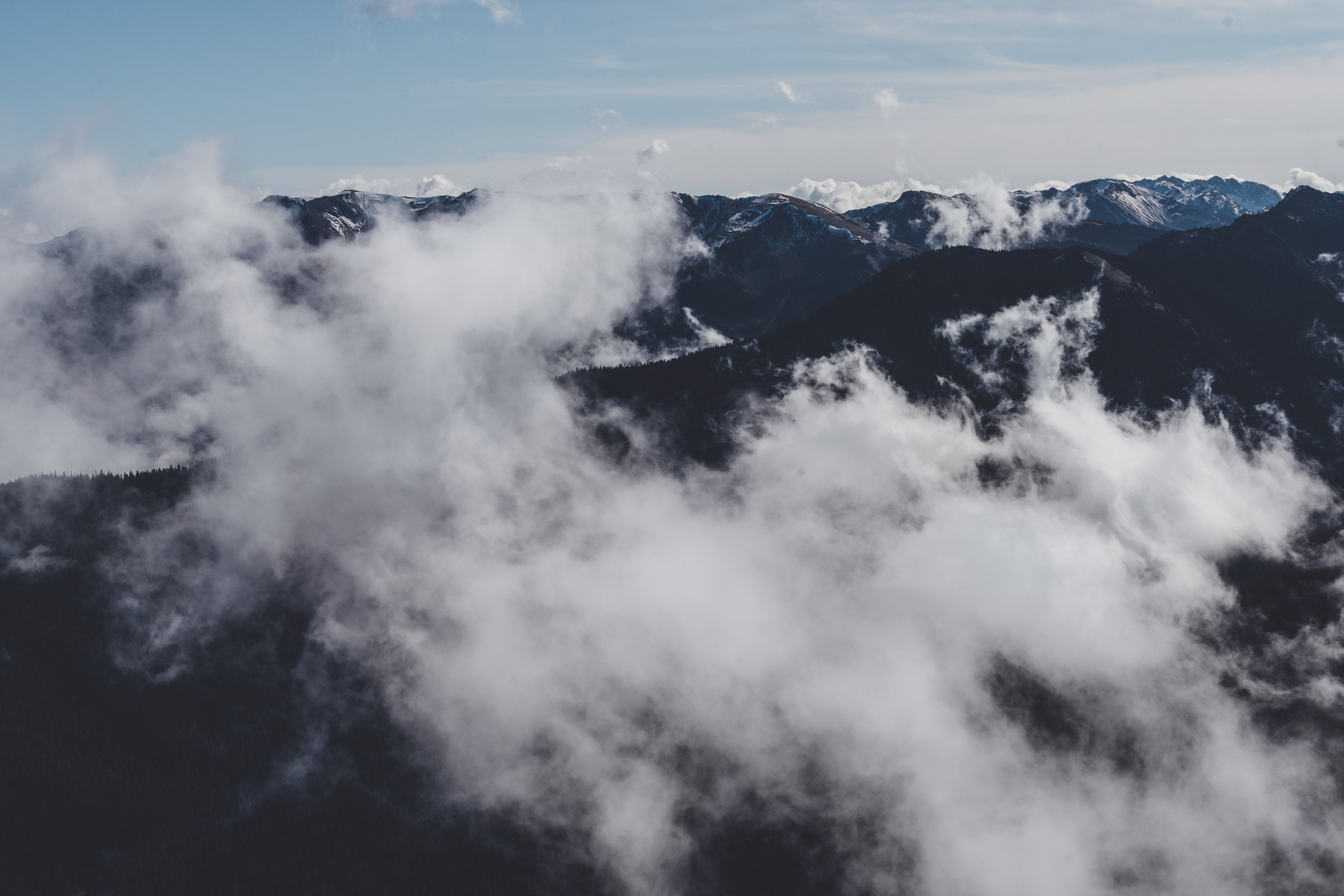
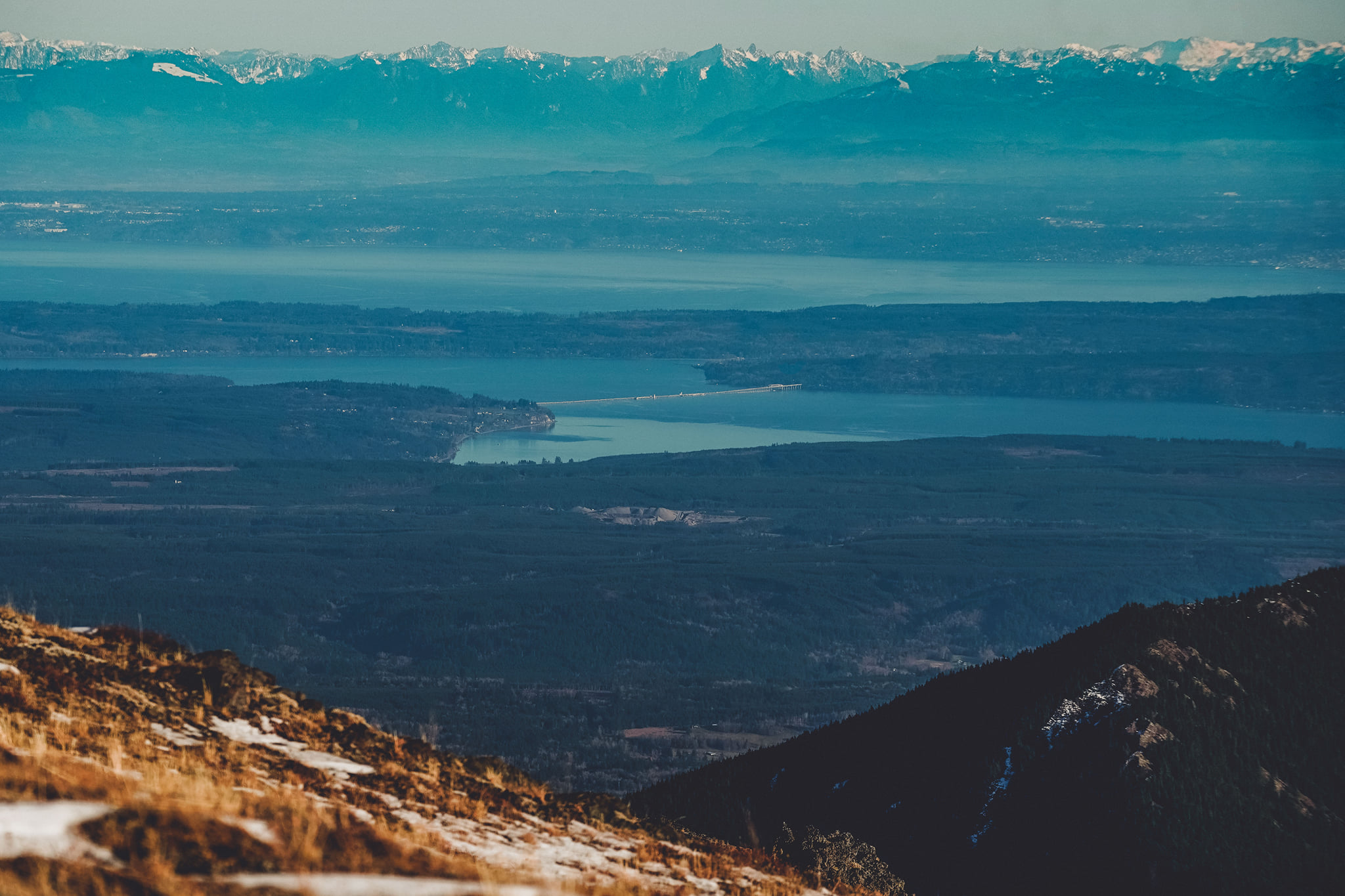
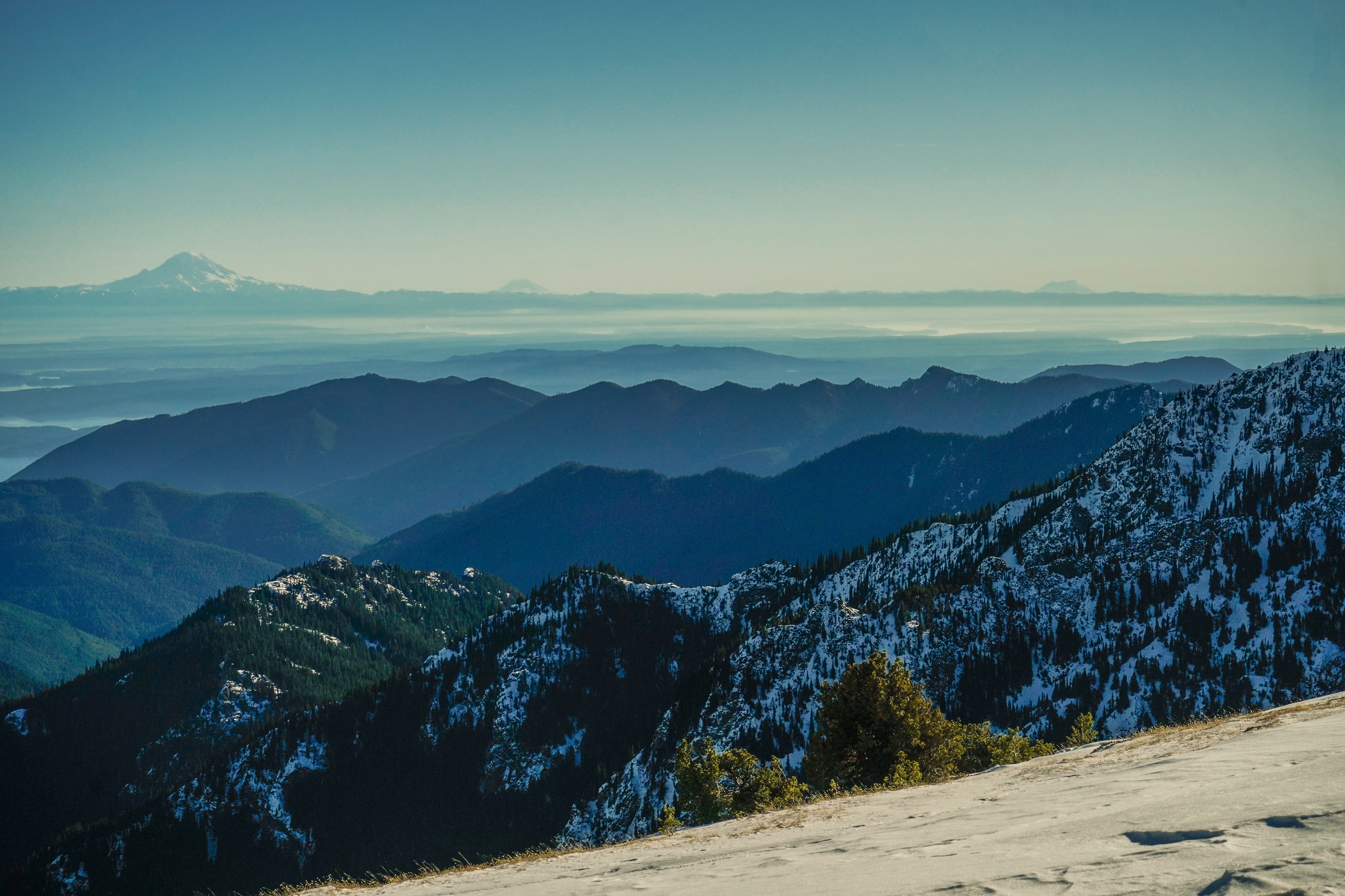
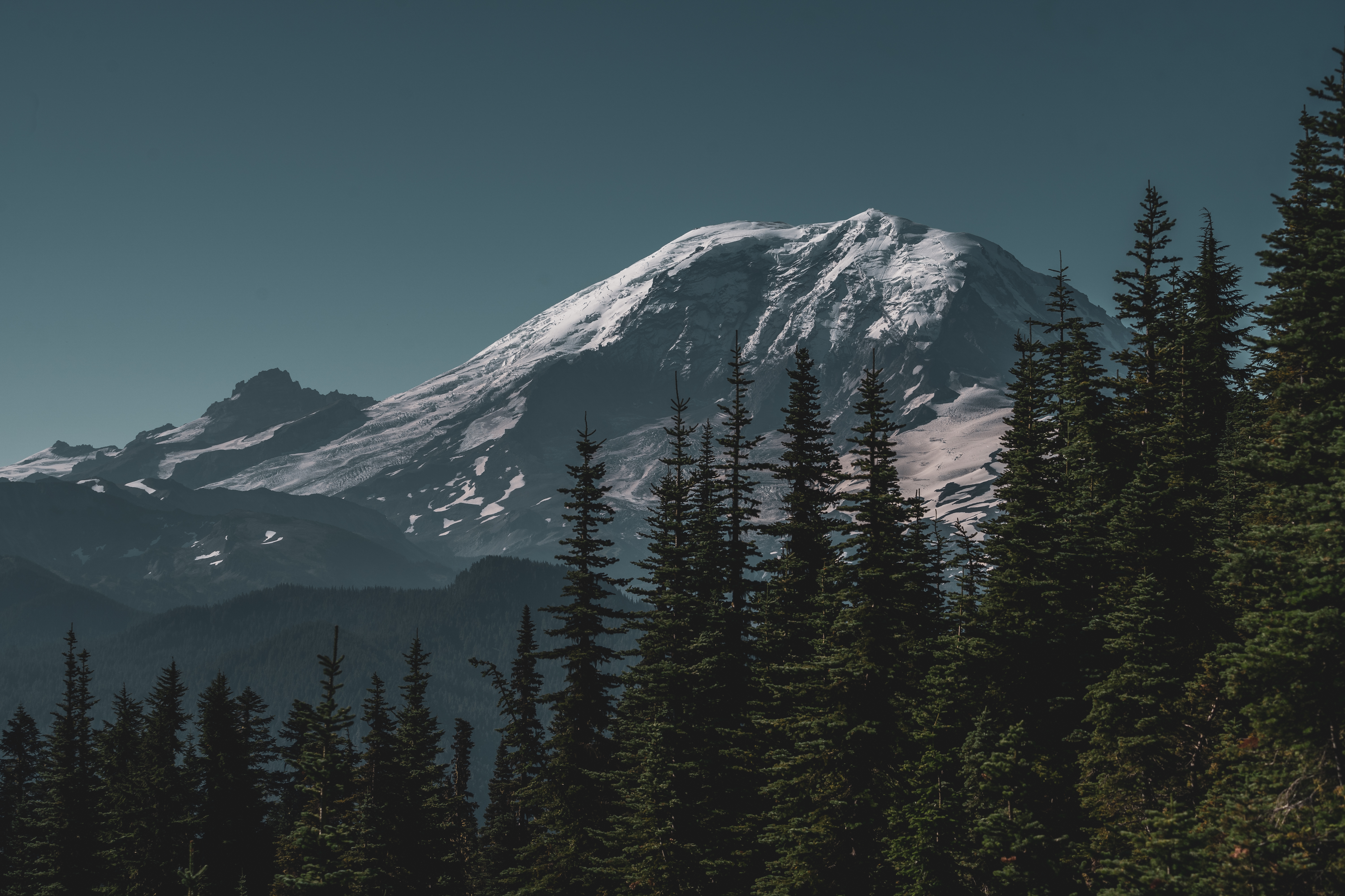
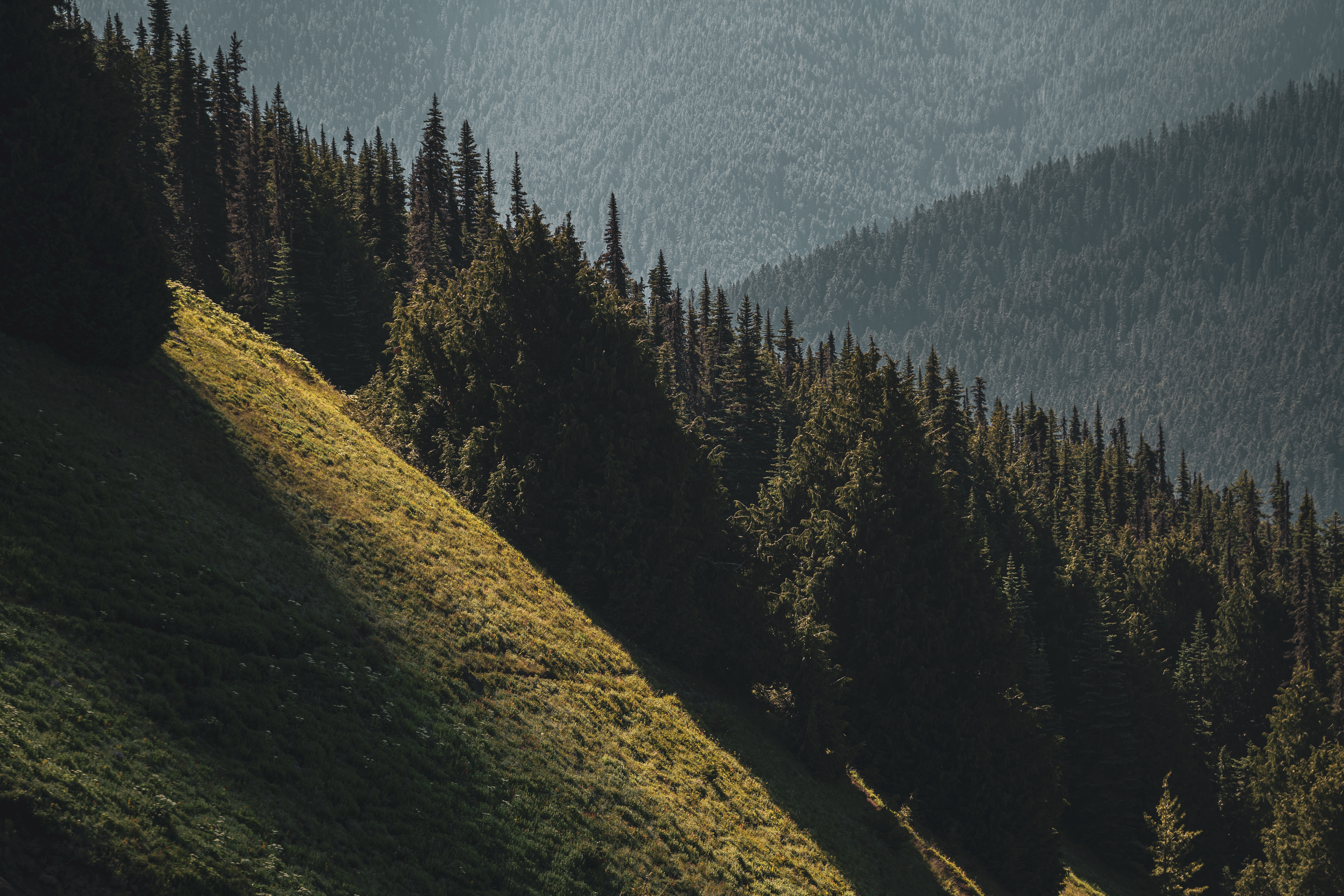
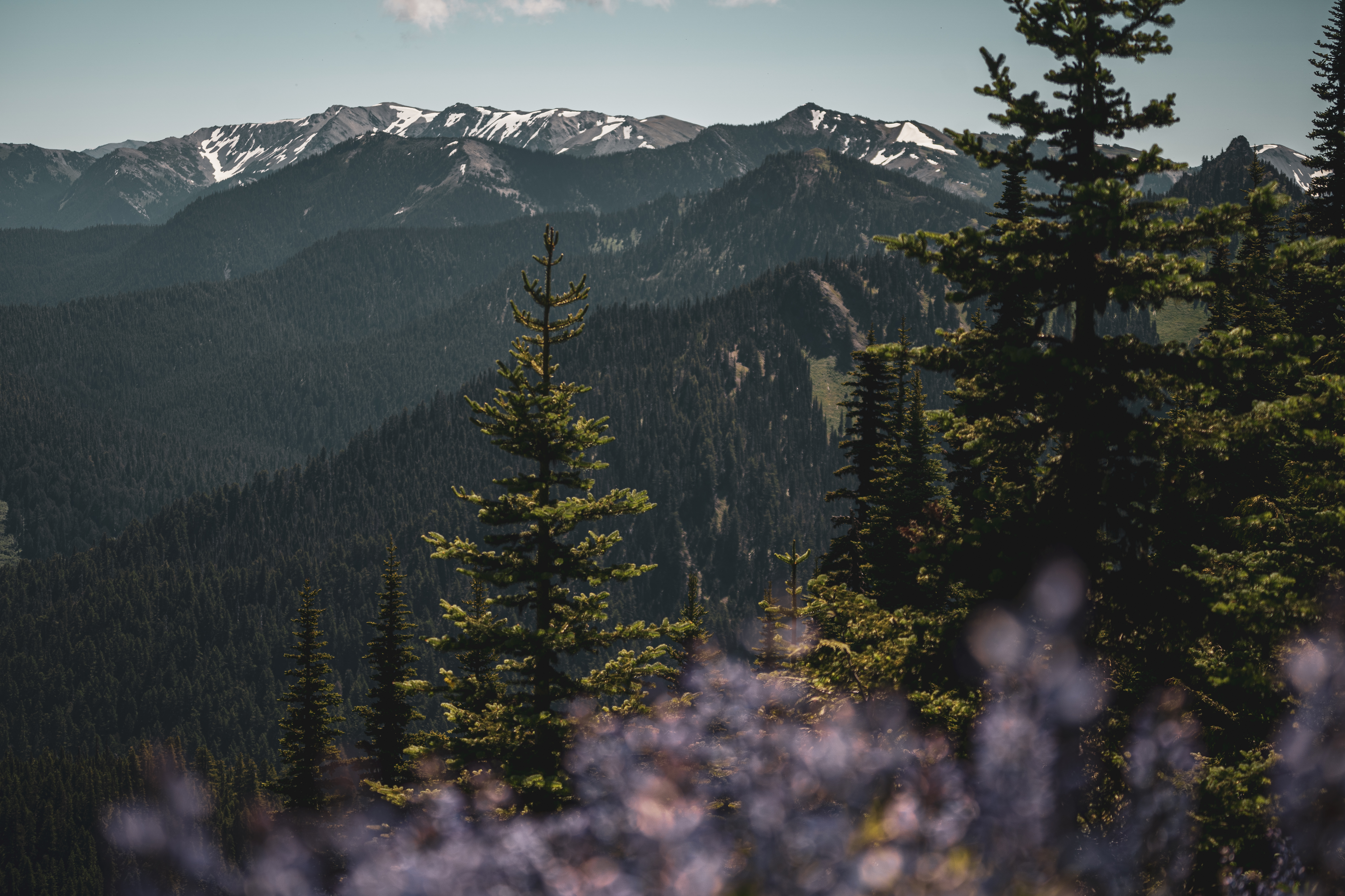
Completed with Dad. I’d been wanting to do Mt. Townsend but was worried about the road conditions after the heavy dumping of snow we got in late October. It ended up being fine, with only one or two icy patches along the 15-mile forest service road to the trailhead. This was a steep hike and my legs were definitely fatigued by the time we got to the top. I think I’d also not eaten an adequate breakfast because I just felt a lot more tired than usual. After the first mile and a half, the trail was snow-covered and it would have been much less fun if I hadn’t packed the micro-spikes. But the views were certainly worth it! From the summit, we could see Mt. Baker, Mt. Rainier, Mt. Adams and Mt. St. Helens at the same time. Total hiking time was about 6 hours including several photo stops and snack break at the top. View on All Trails.
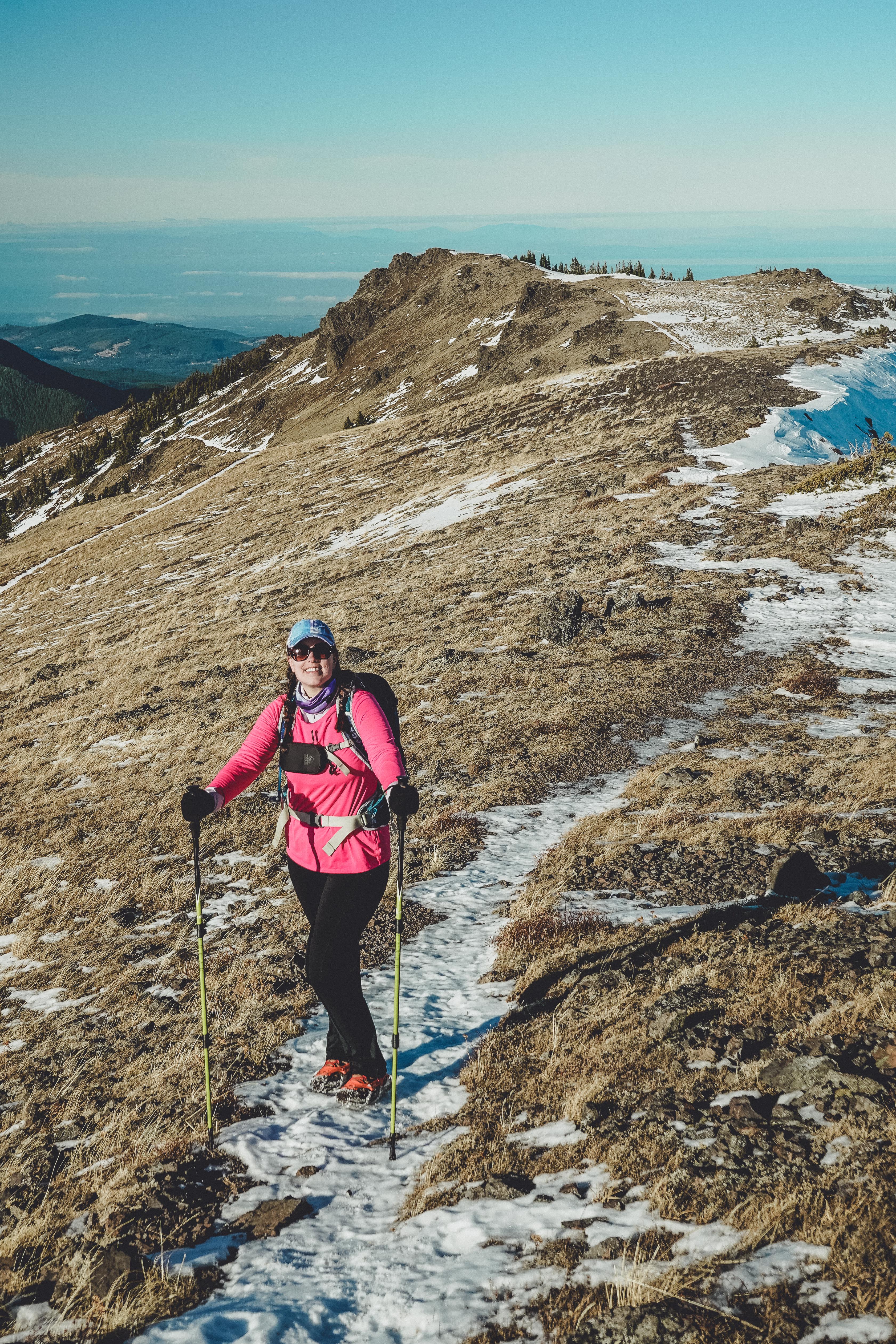
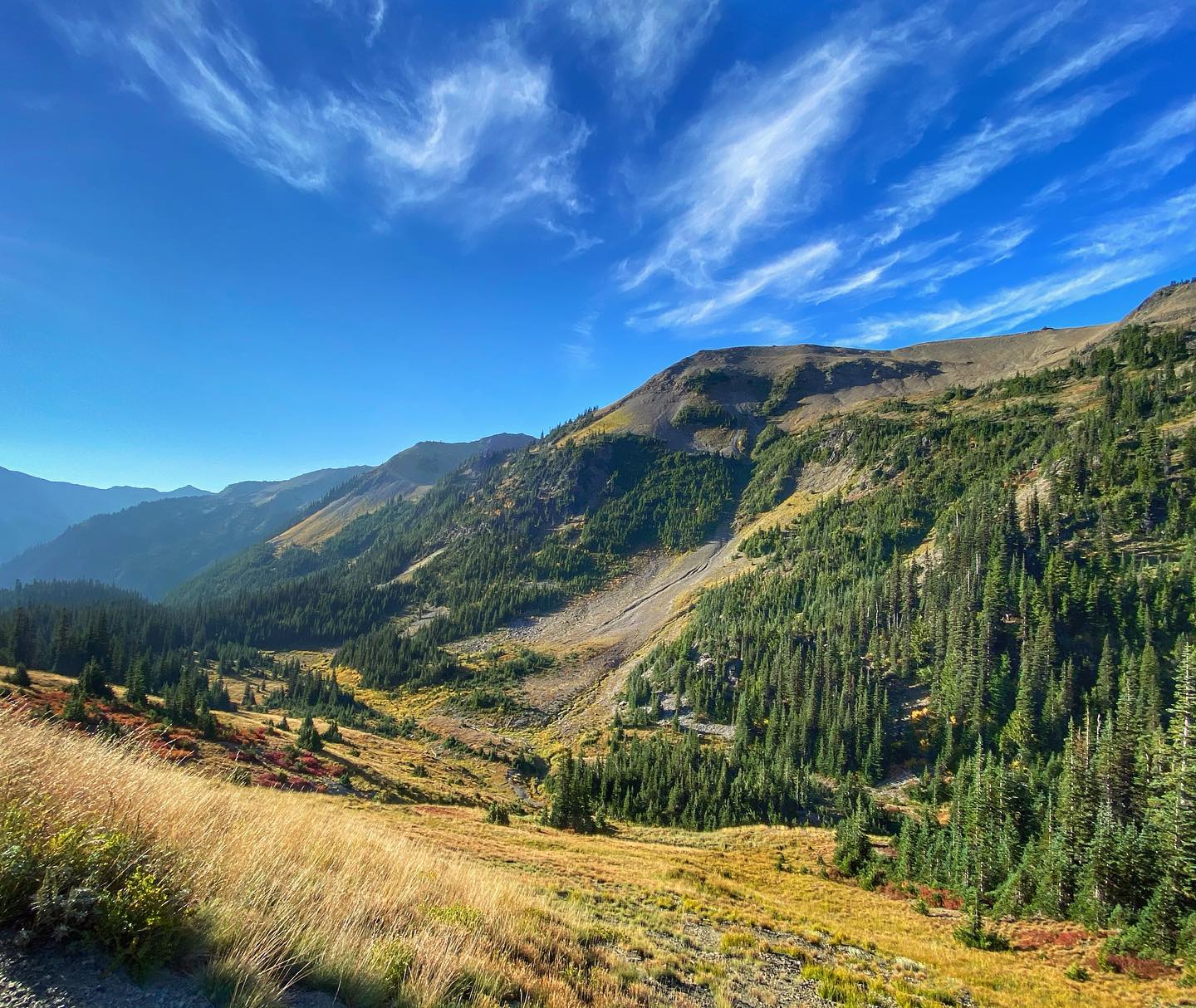
Maiden Peak: 8.5 miles, 2000 feet
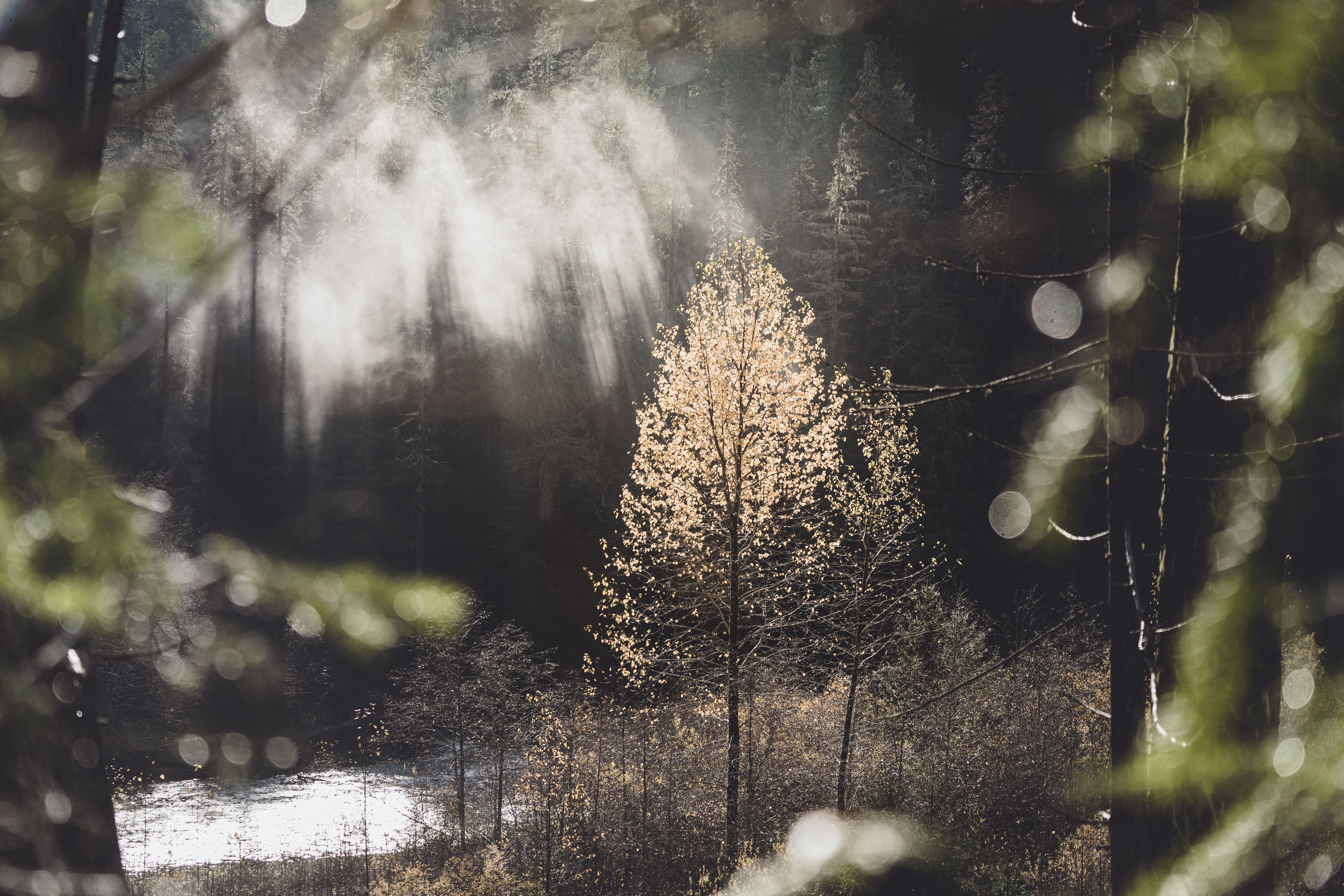
Completed with Dad. We started out descending about 1/2 mile into the trees along the ridge before the climb begins. The first section of incline is the toughest and quite steep but the rest of the hike is really moderate, alternating between gentle incline and lovely stretches of flat with beautiful views between the trees and a few peaceful clearings. The trail finally opens up to the meadow and it’s very dramatic. Canada, Mt. Baker, the Cascades, the Olympics – you can see it all from up there. There is a very rough trail that branches off the main trail and takes you up to the Maiden Peak summit marker, but be careful of loose rocks and avoid stepping on the fragile vegetation. We went on Oct. 24 and the trail was pretty snowy. They ended up closing the access road a week or two later. (read more) View on All Trails.
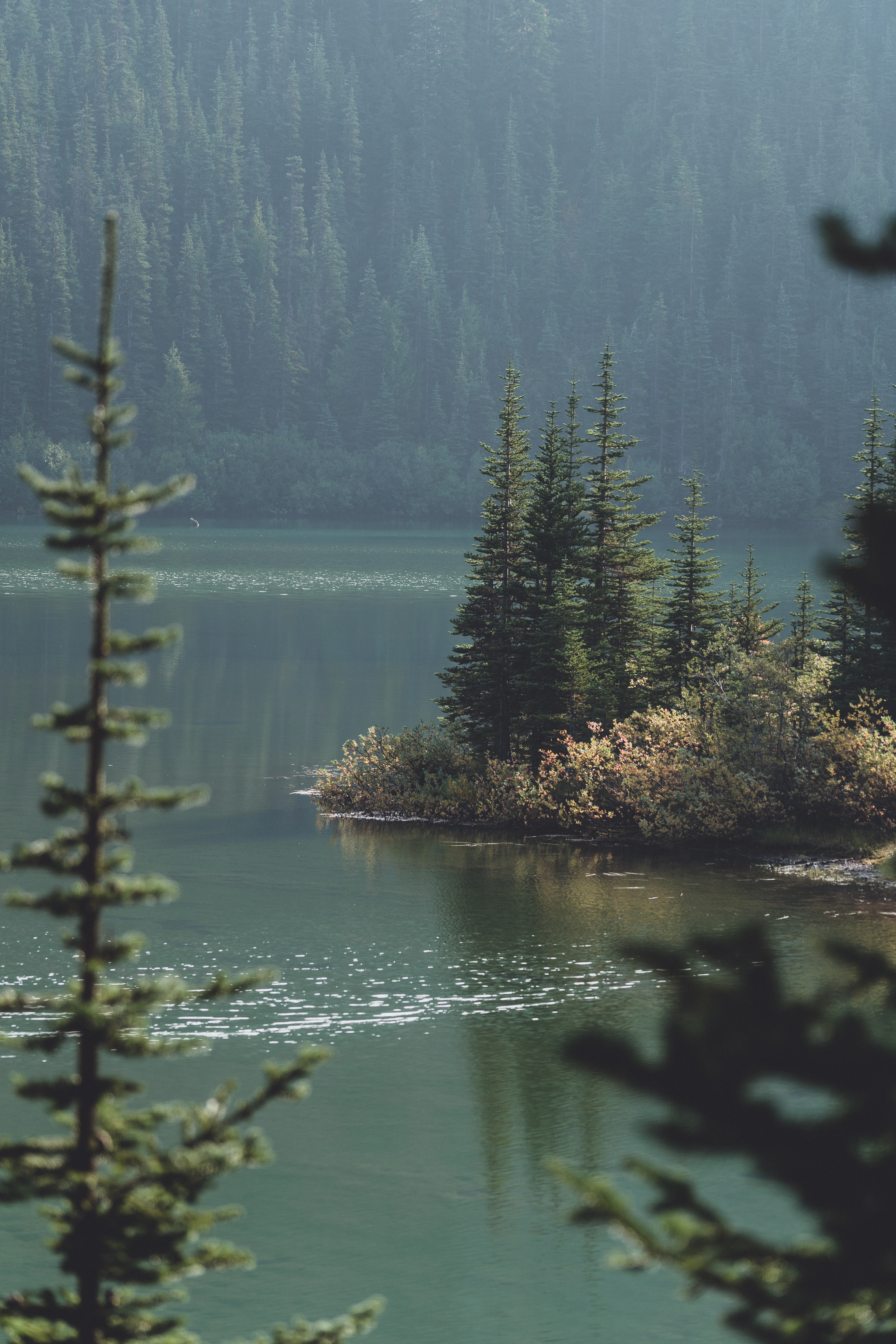
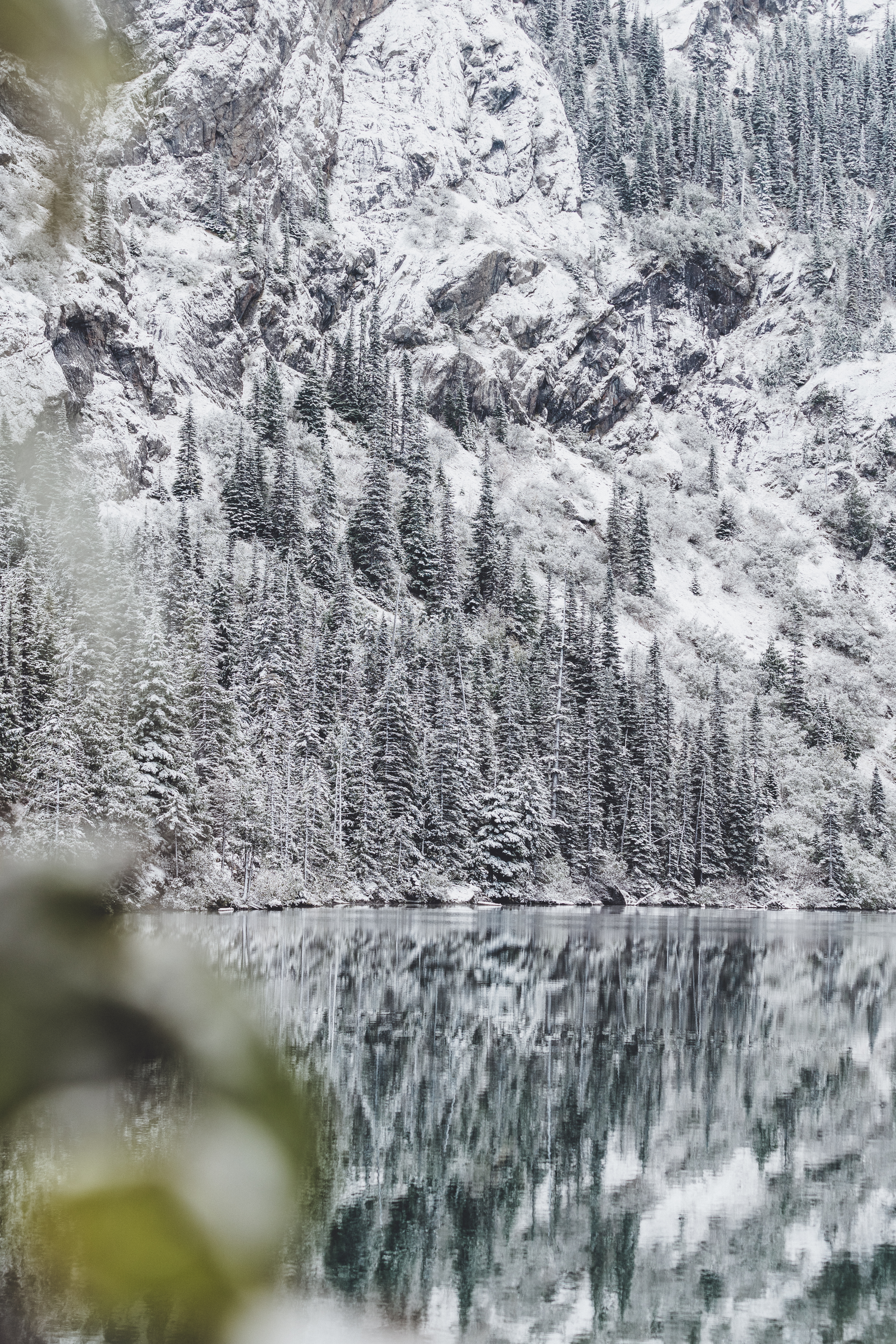
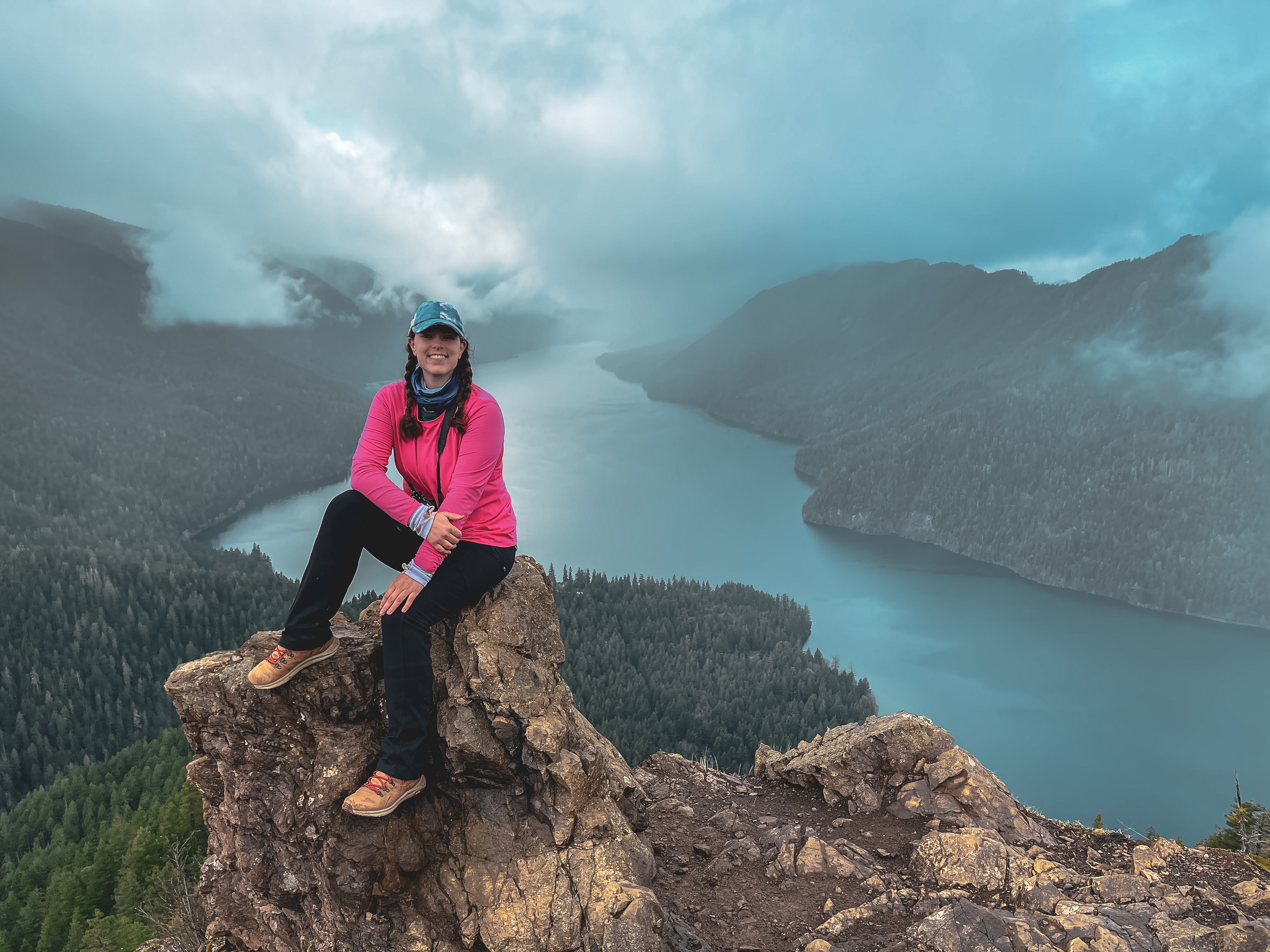
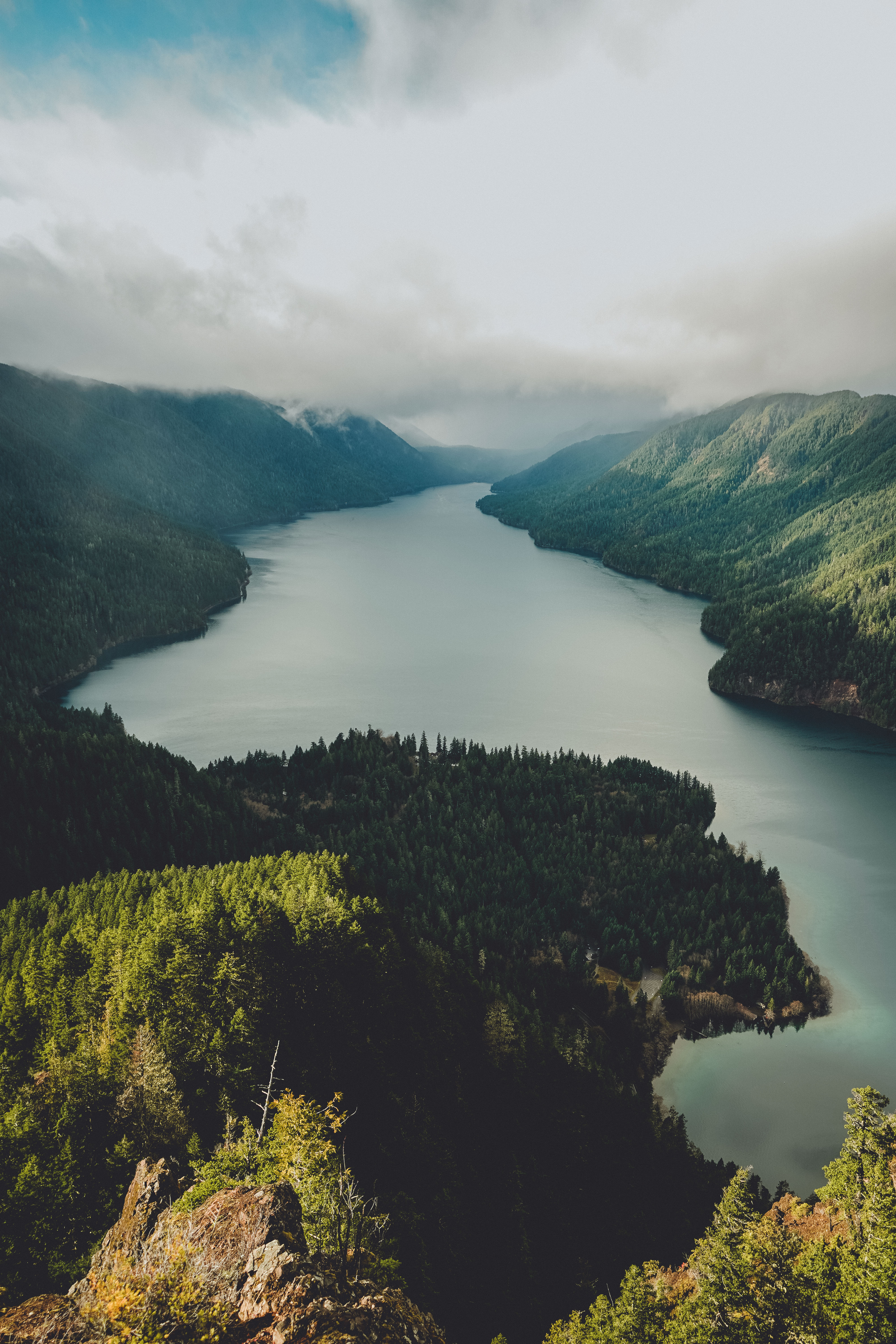
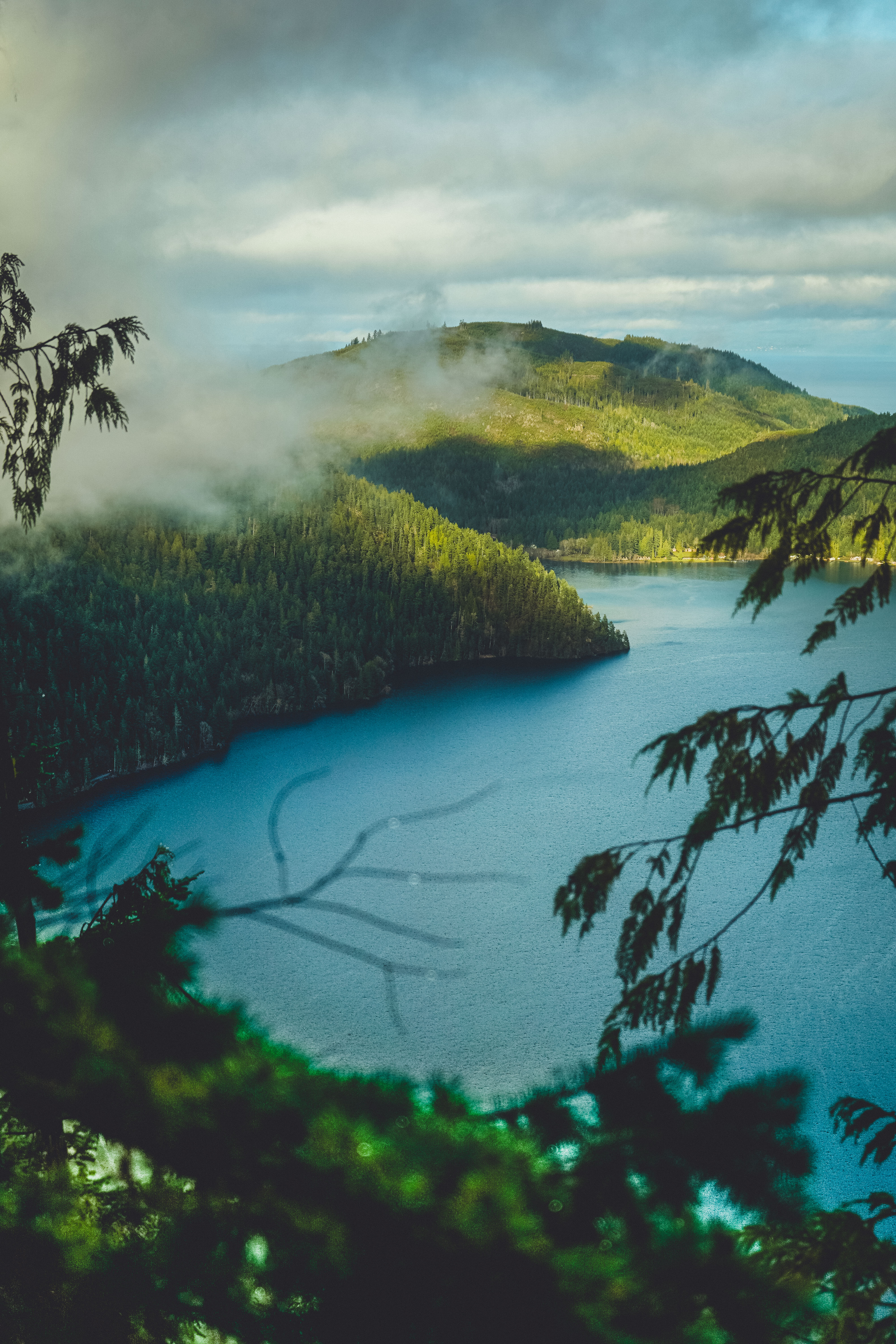
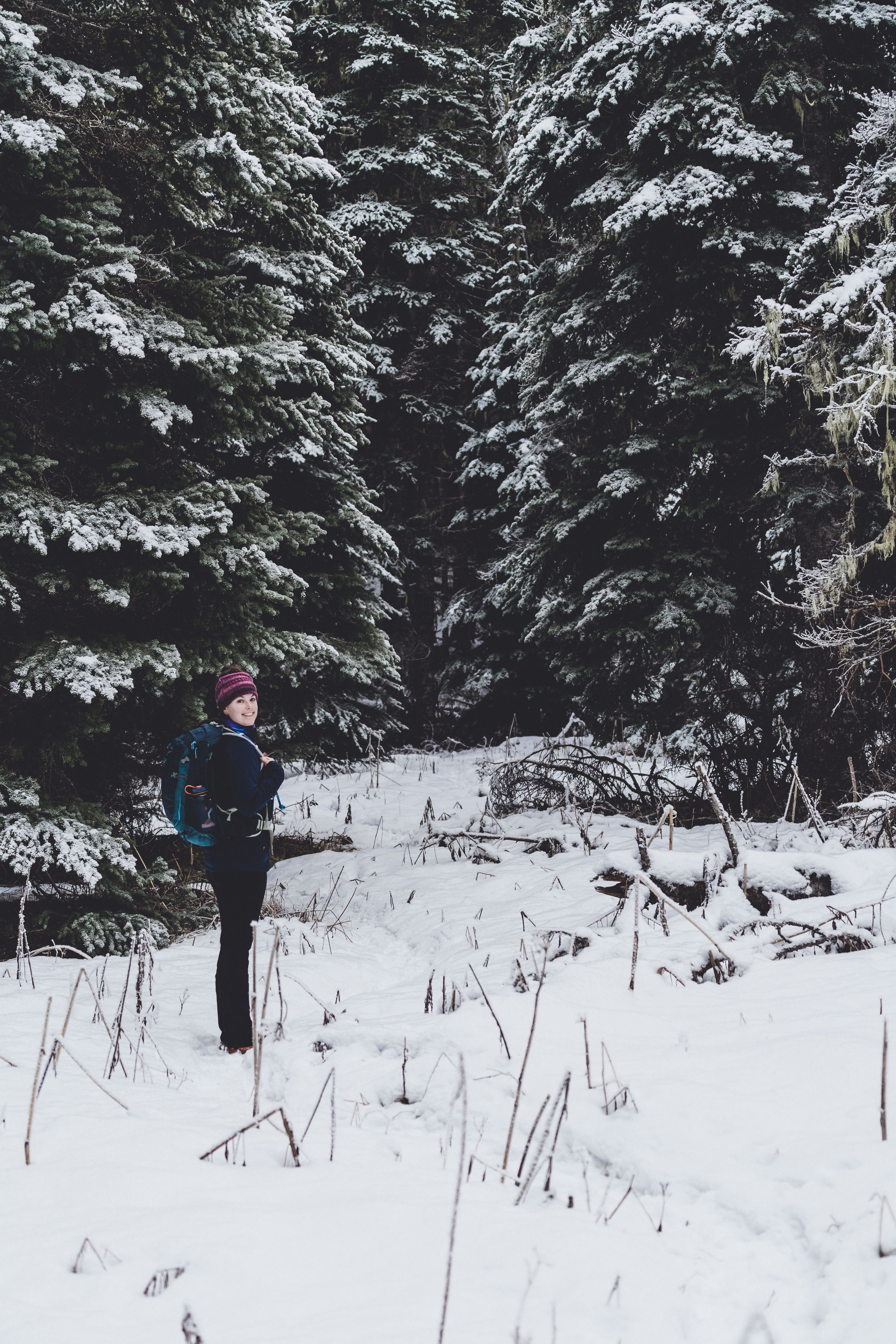
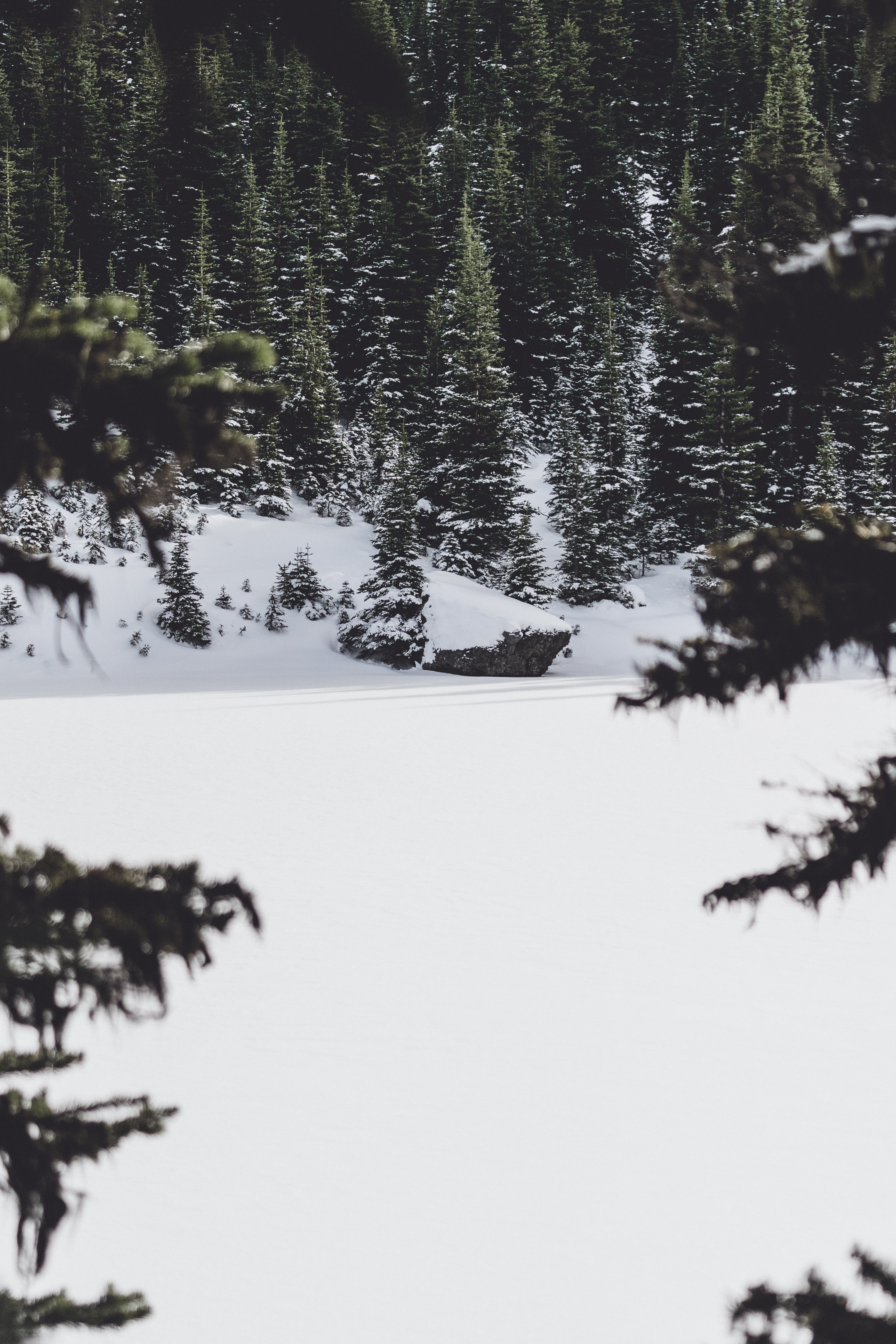
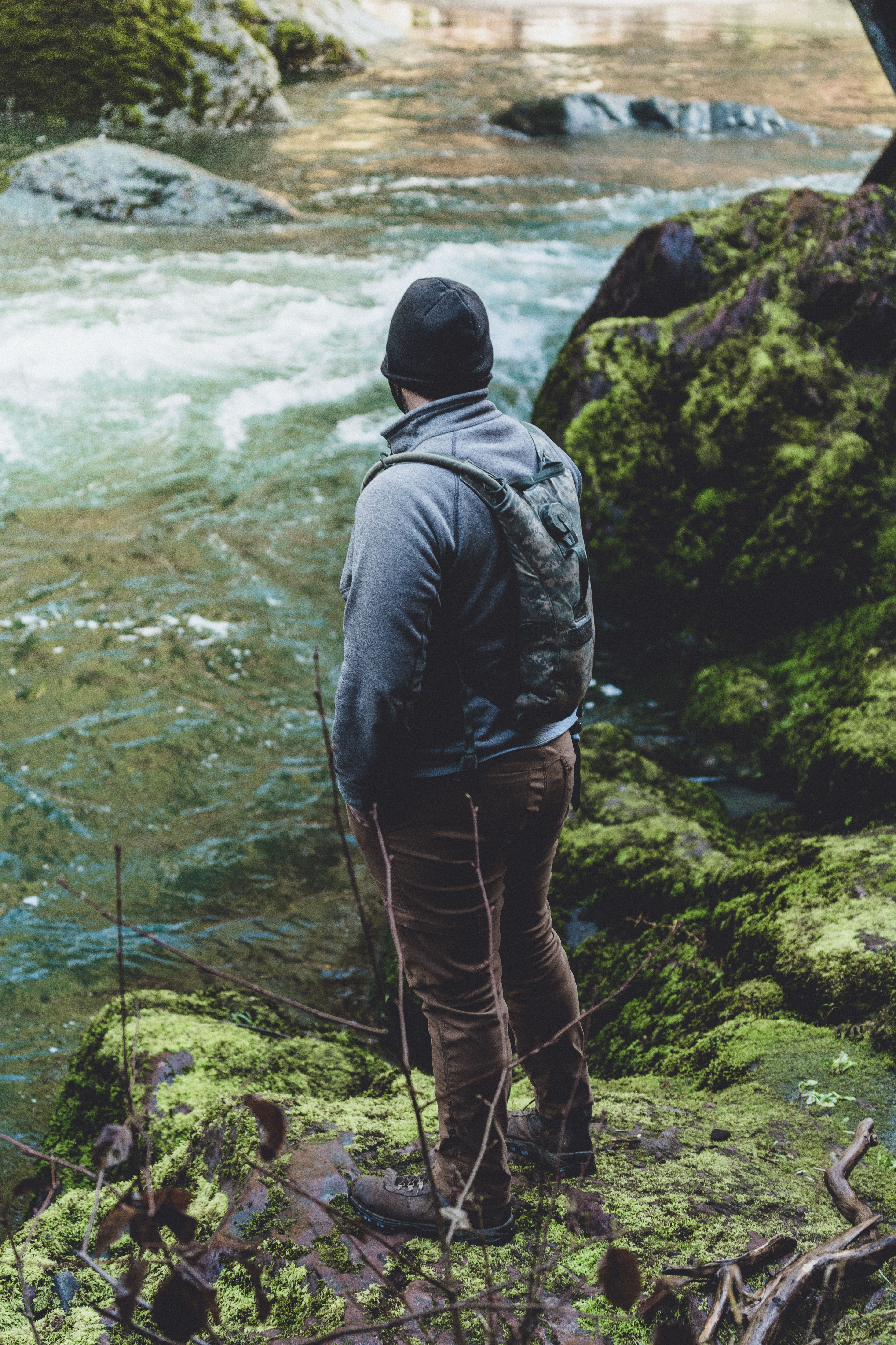
Lake Angeles: (A) 9 miles, 2900 feet; (B) 8 miles, 2500 feet
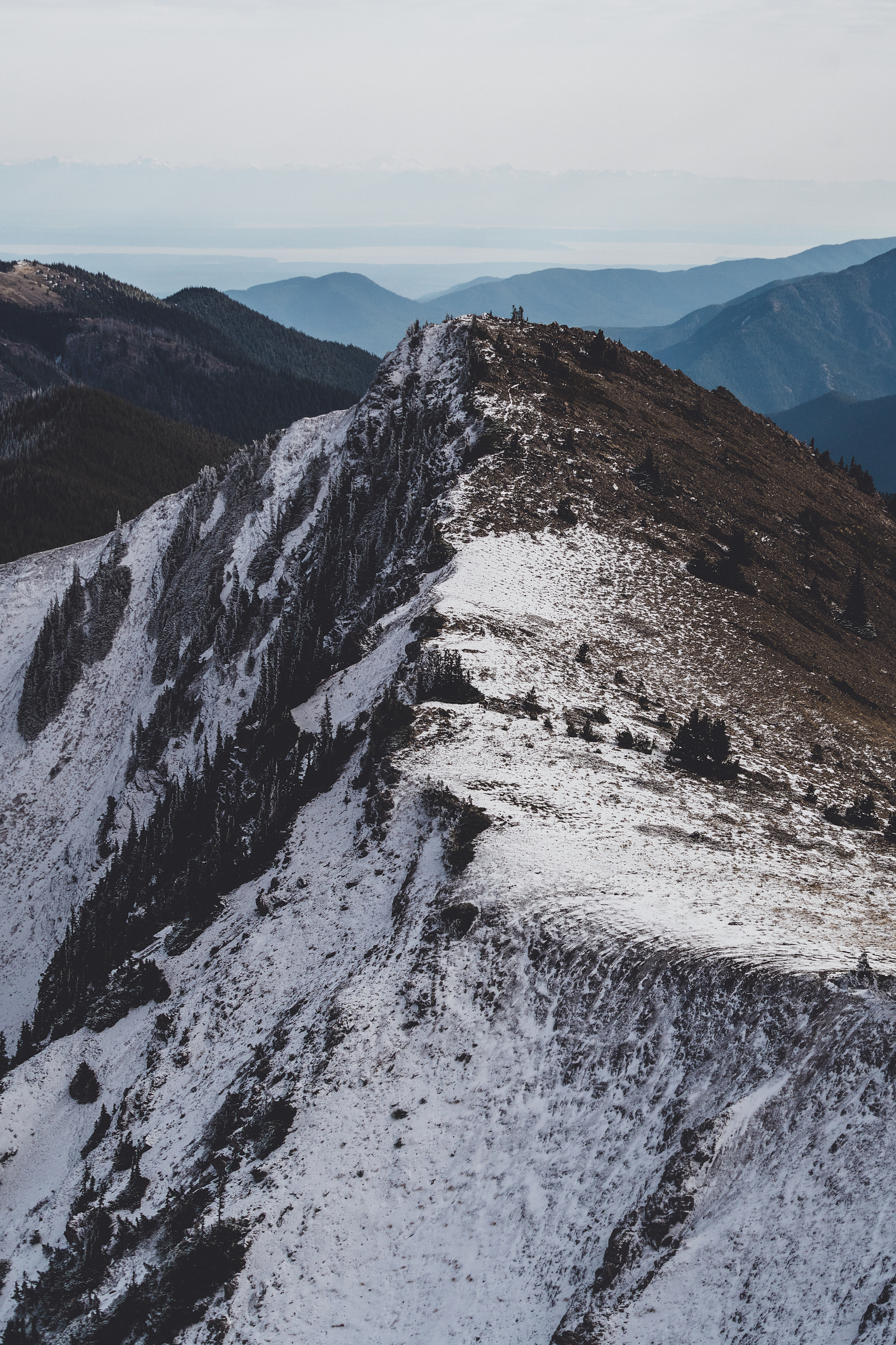
I made two hikes to the lake this year – one with Mike, Katie and Ben, and one with Dad. We had intended to reach the lake when we hiked Klahhane Ridge, but decided we were too fatigued to make it all the way there. The hike from the lower trailhead is beautiful, quintessential PNW. The trail isn’t too steep and I would consider it on the more challenging end of moderate, I don’t think I’d call it a hard trail. Nice steady incline through the trees, and the views at the lake are spectacular. There was snow on the upper section of the trail and at the lake when we went in late October. When Dad and I returned in November, we hiked beyond the lake to the rocky ridge overlooking the lake with views out over the Strait of Juan de Fuca to Canada and Mt. Baker – the rocky ridge where Mike and Katie and I had turned around when we climbed down from Klahhane. (read more) View on All Trails.
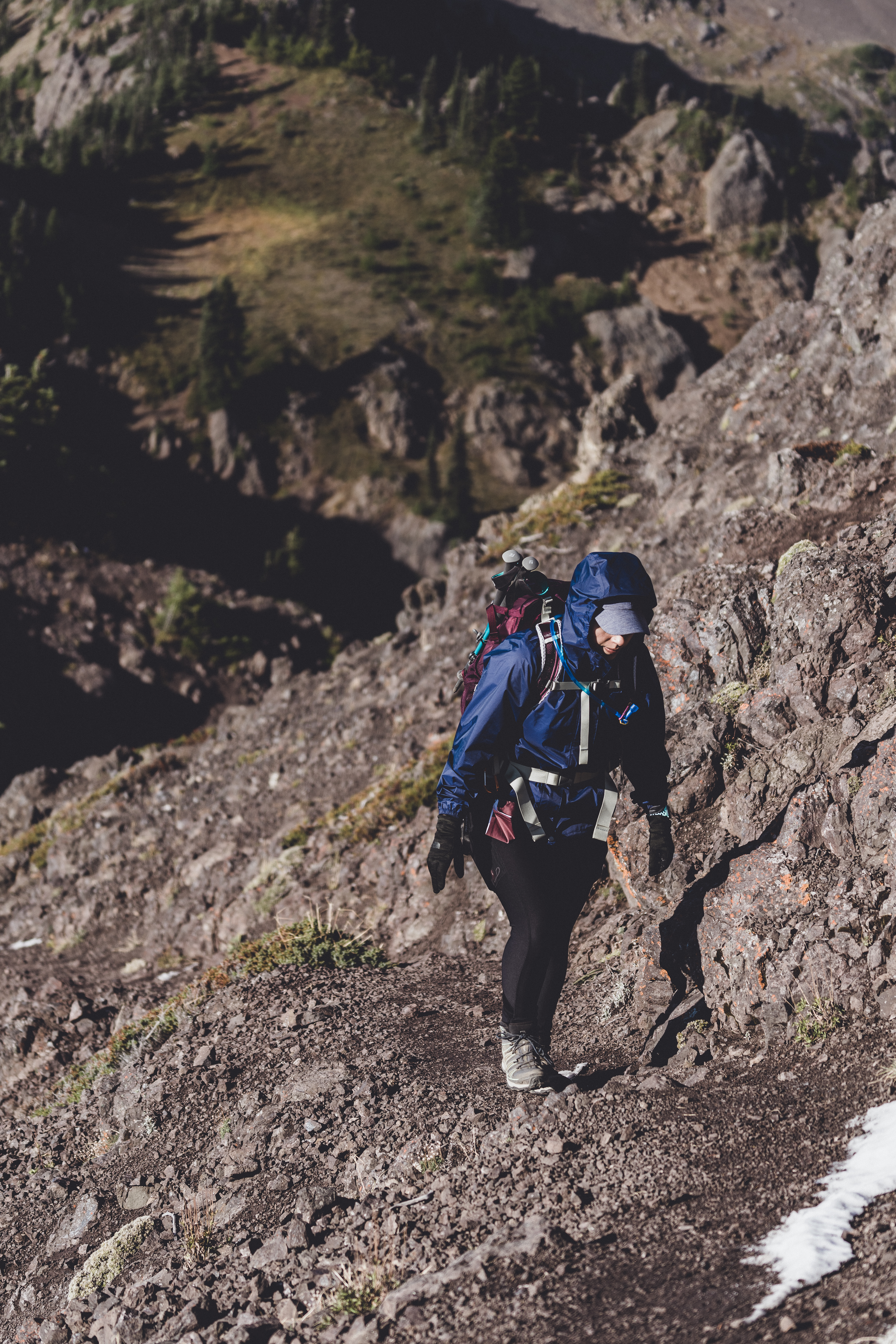
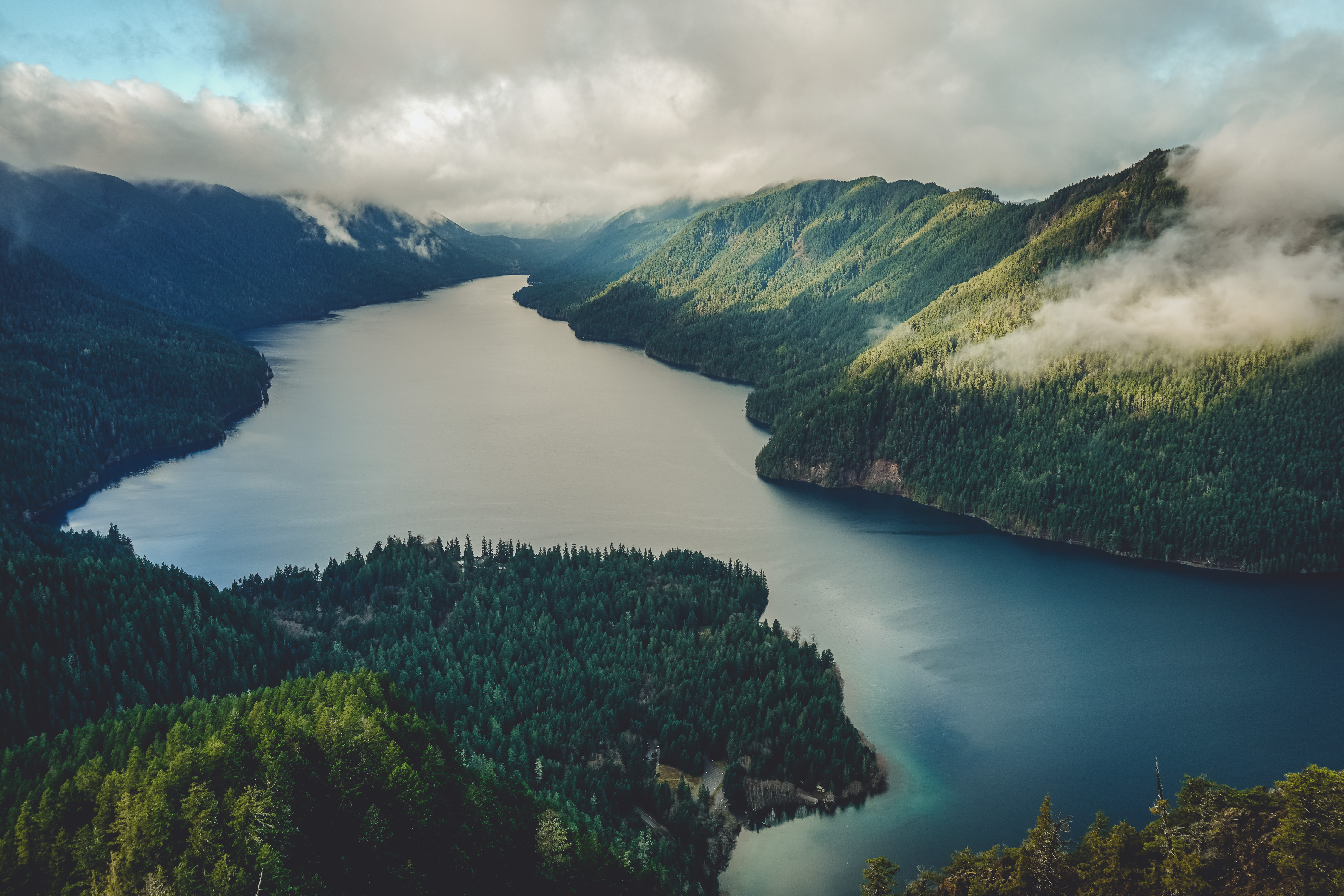
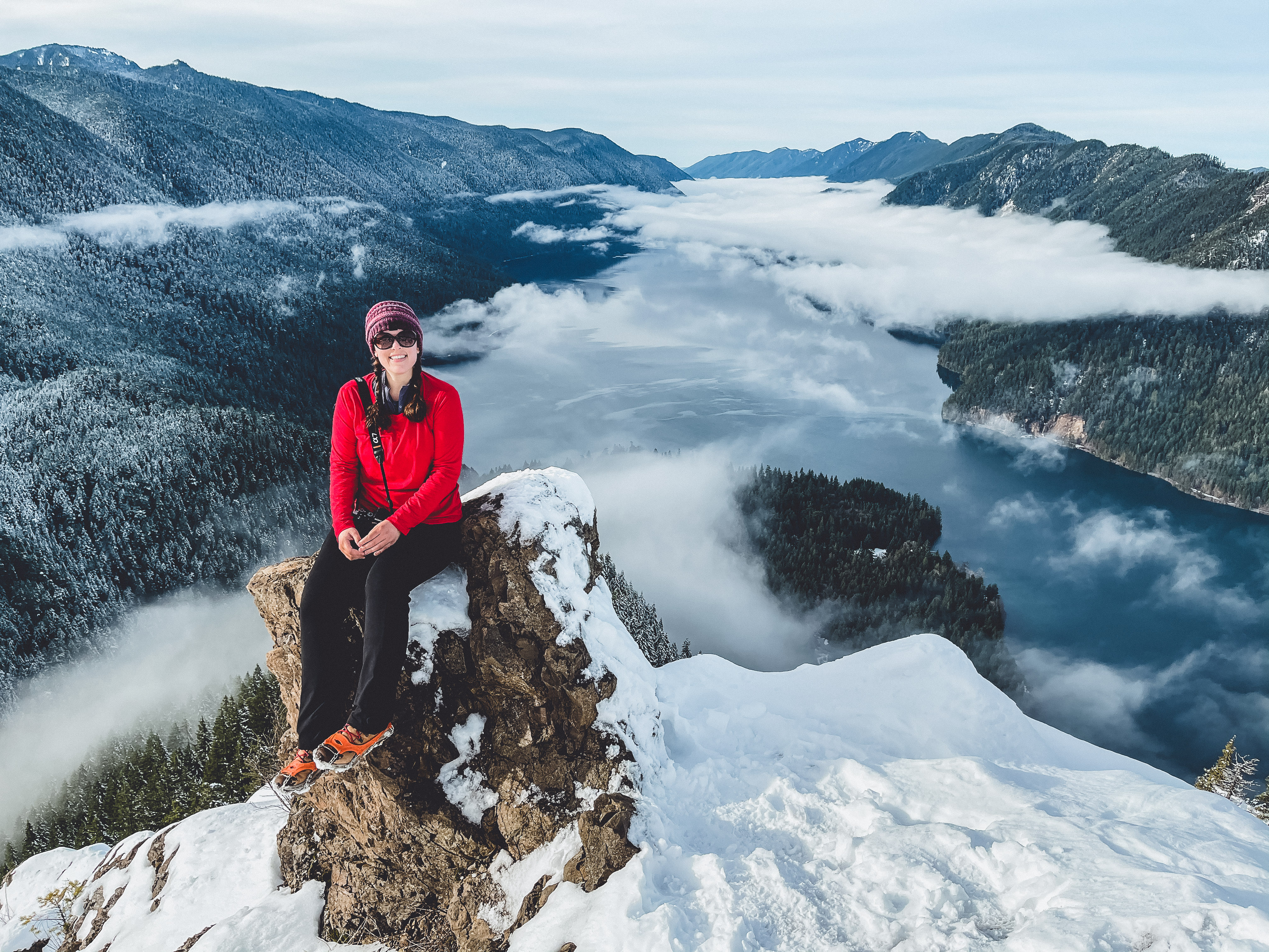
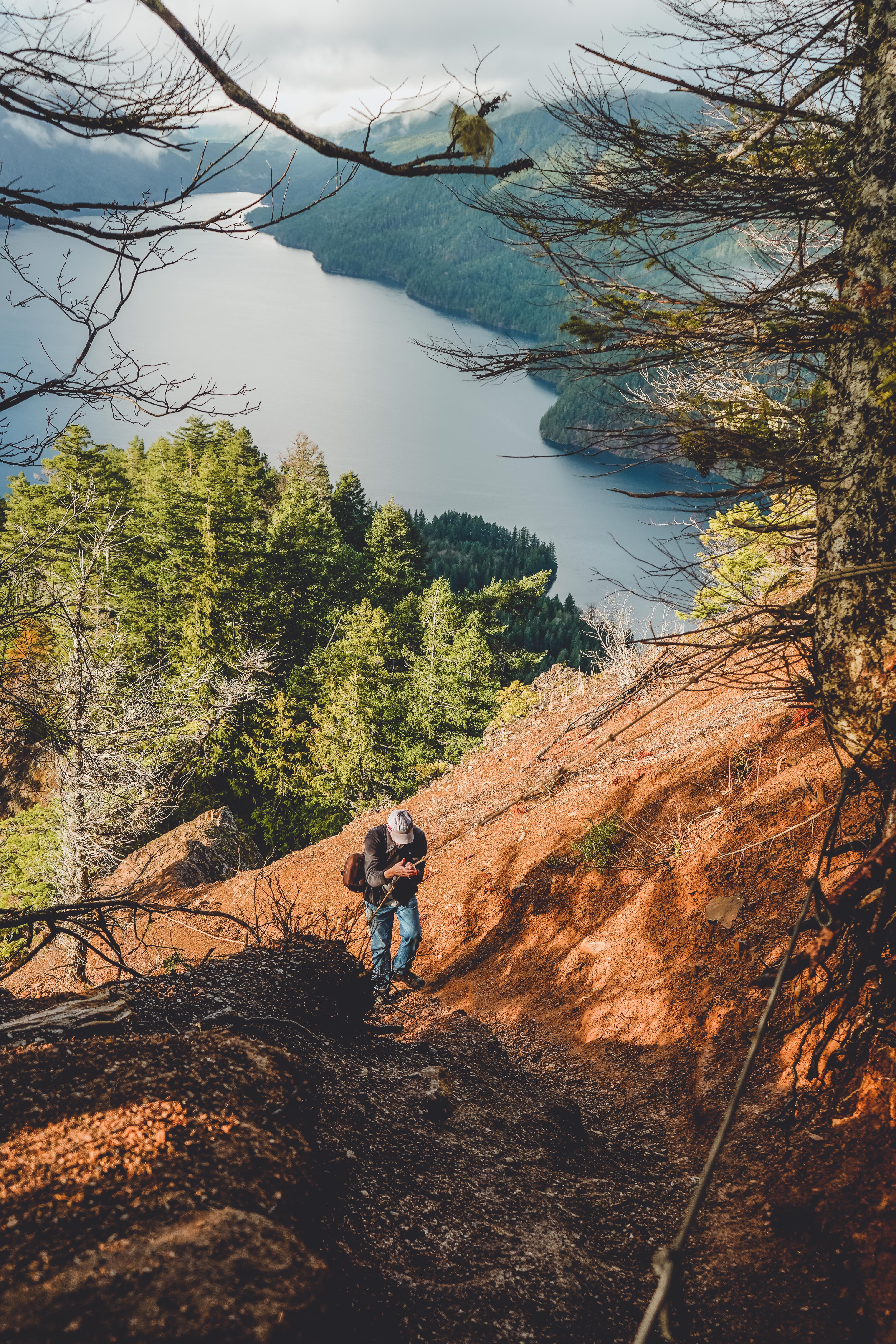
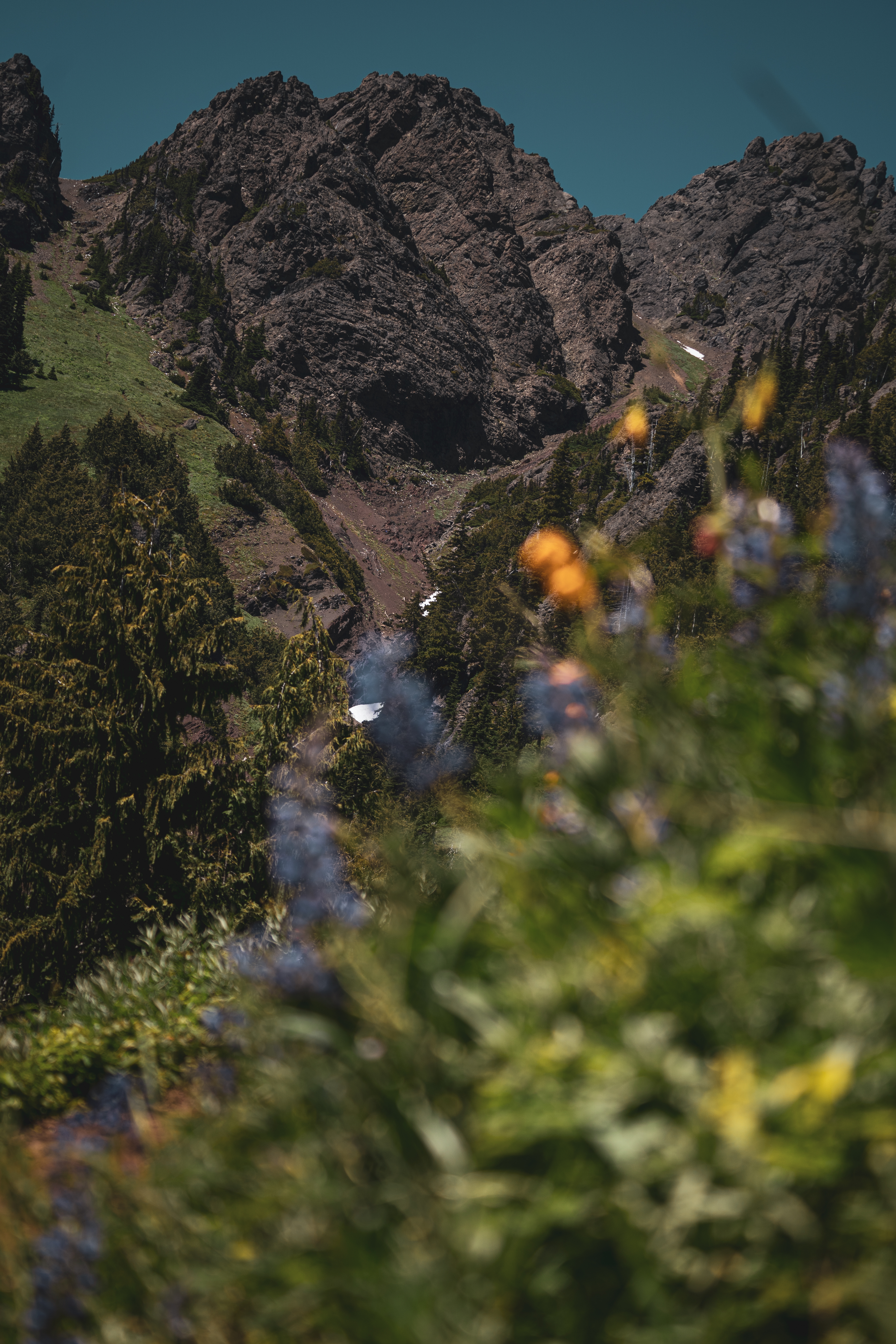
Storm King & Marymere Falls: 7 miles, 2500 feet (twice)
Completed with Dad. Storm King had been on my to-do list for a while but I was intimidated by the series of six ropes used to reach the final scramble to the top. I finally decided to go for it in early December. The forecast wasn’t perfect, and it rained almost the whole drive to the trailhead, but the clouds cleared as we began our climb (after a quick detour to Marymere Falls first). This was a steep one, with lots of rocks and roots prime for ankle rolling. We made a second trip up just before Christmas after some fresh snow, which presented its own set of challenges, but added an extra layer of drama. The summit can be a bit scary – very steep drop offs, rocky, uneven and not suitable for children. There are six rope sections to traverse just before the summit, so bring gloves to protect your hands. Go slowly and pay attention to your footing. There were a couple sections I felt more comfortable coming down backwards. It’s such a beautiful trail. And once you get to the top, you’ll be rewarded with that quintessential dramatic sky over Lake Crescent. View on All Trails
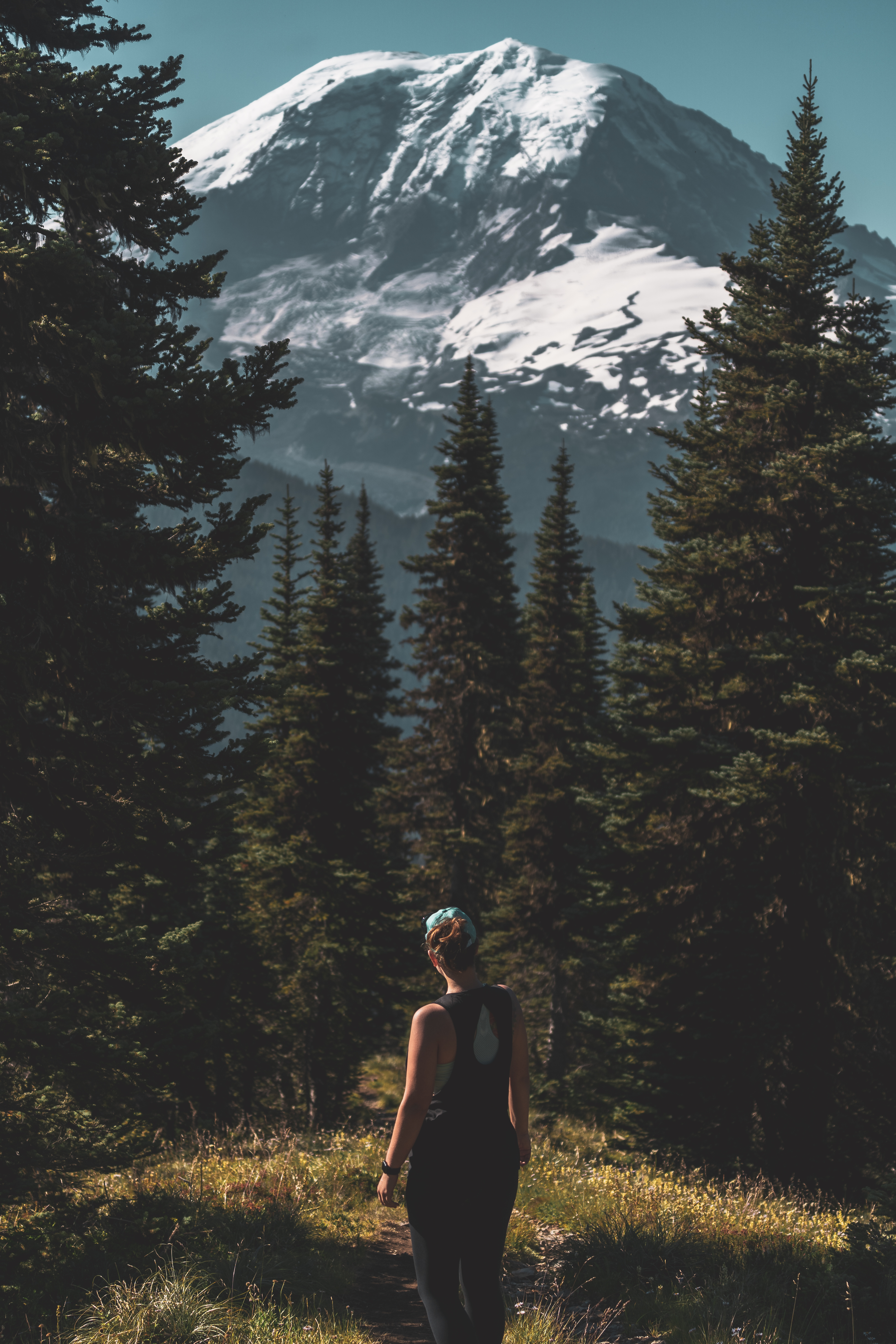
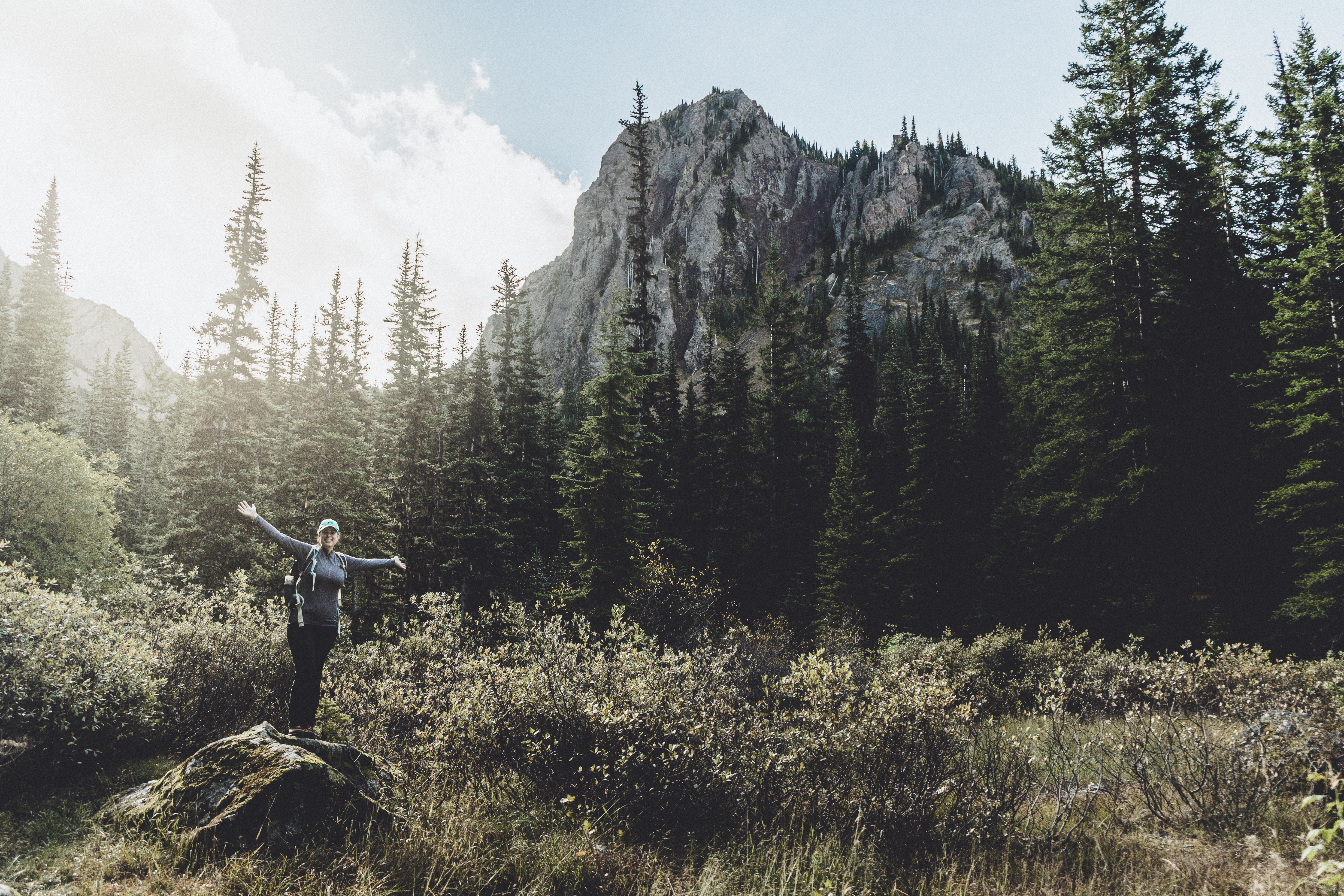
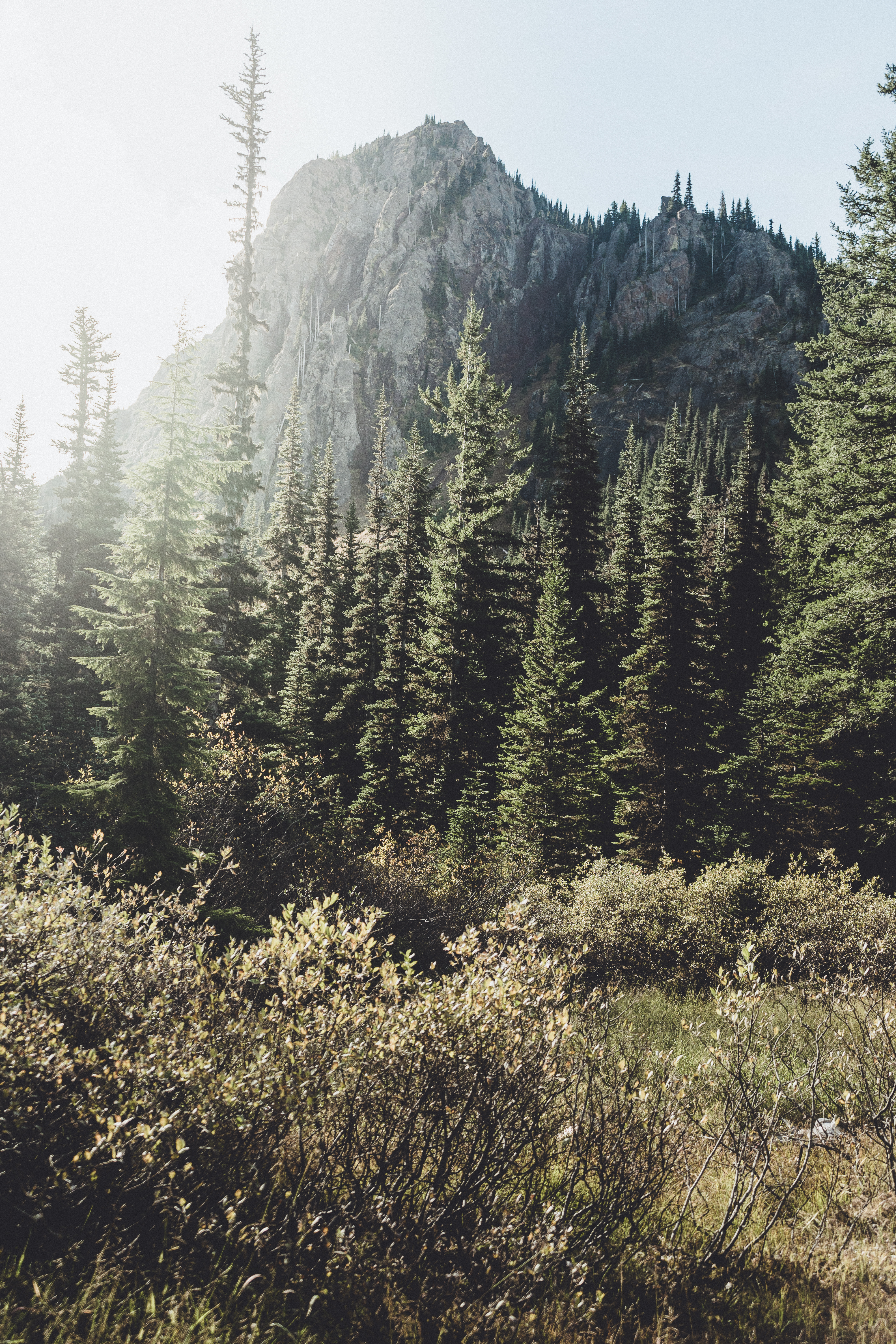
Bearhead Mountain: 9 miles, 2250 feet
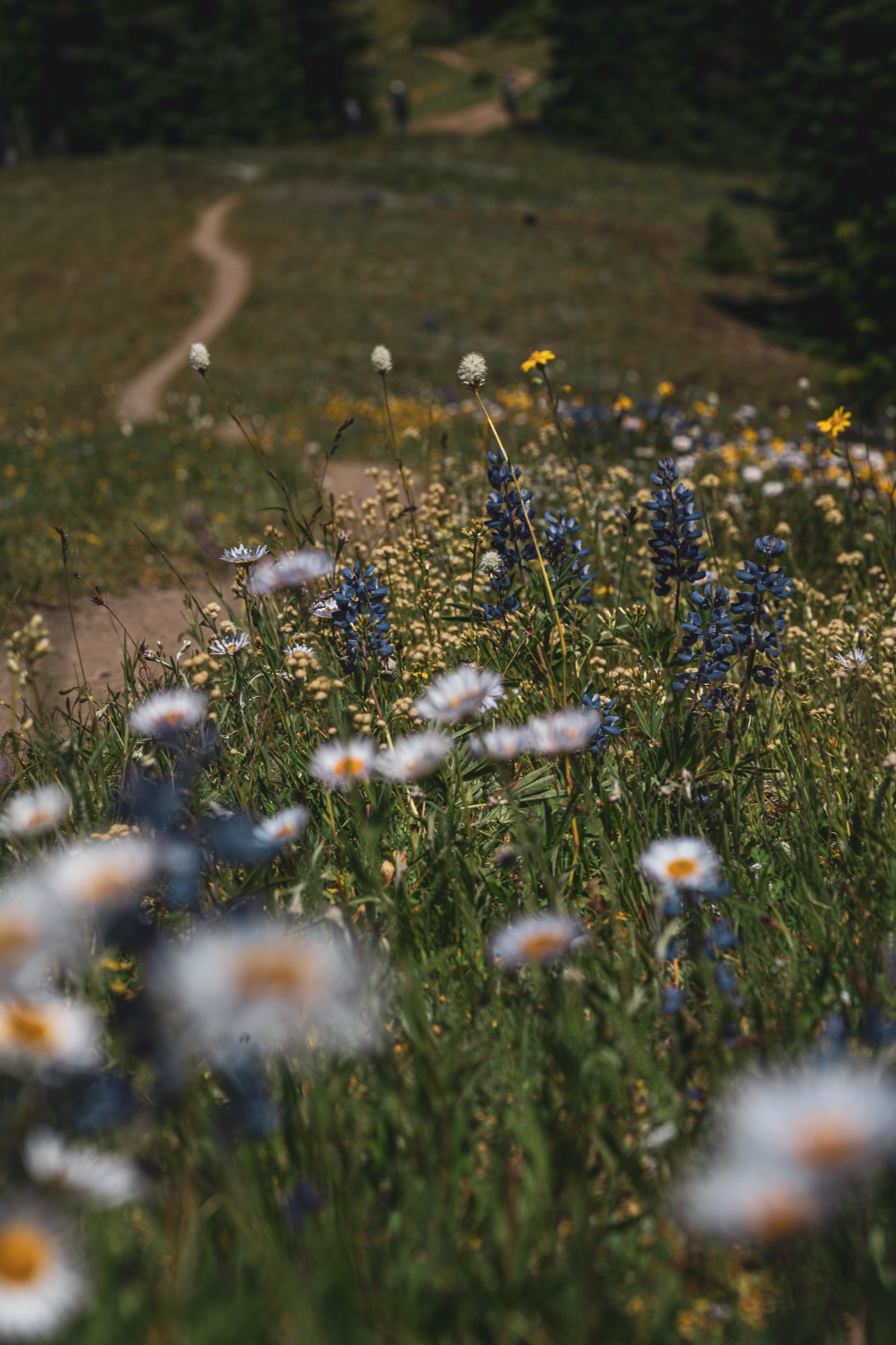
Completed with Mike. This was our first any only hike at Rainier in 2020. We got to the trailhead around 7:30 Sunday morning and the parking lot was already pretty full, mostly backpackers I’m assuming. We only saw one other couple on the way up to Bearhead Mountain. This trail featured beautiful wildflowers, lots of happy bumble bees and stunning views of Tahoma. We passed a few more people on our way down but the trail was still pretty quiet, until it merged back with the Summit Lake trail, then there were a ton of people. This was a pretty easy little climb and the payoff was great. Beautiful views up close of Tahoma on one side, and panoramic views of the Cascades on the other. View on All Trails.
Mount Angeles via Switchback Trail: 8 miles, 2200 feet
Completed with Katie and Sean. This hike really marked the beginning of my 2020 hiking season in July after a quiet spring at home. We started at the Switchback trailhead and headed up to Mount Angeles. You cannot technically summit unless you want to scale some cliffs, but the view is great from just below the true summit. On the way back down I parted ways with my friends and kept heading straight onto Hurricane Ridge Trail and toward Sunrise Point, and it’s definitely worth the extra mile or so. I didn’t go all the way to Sunrise Point, but the views from the ridge are incredible. One of the best views in the Olympics. Sections of the trail are pretty mosquito heavy, and because it’s an easy area to access, there were a lot of other people on the trail. Saw two bears, some deer and one marmot. Perfect day. View on All Trails.
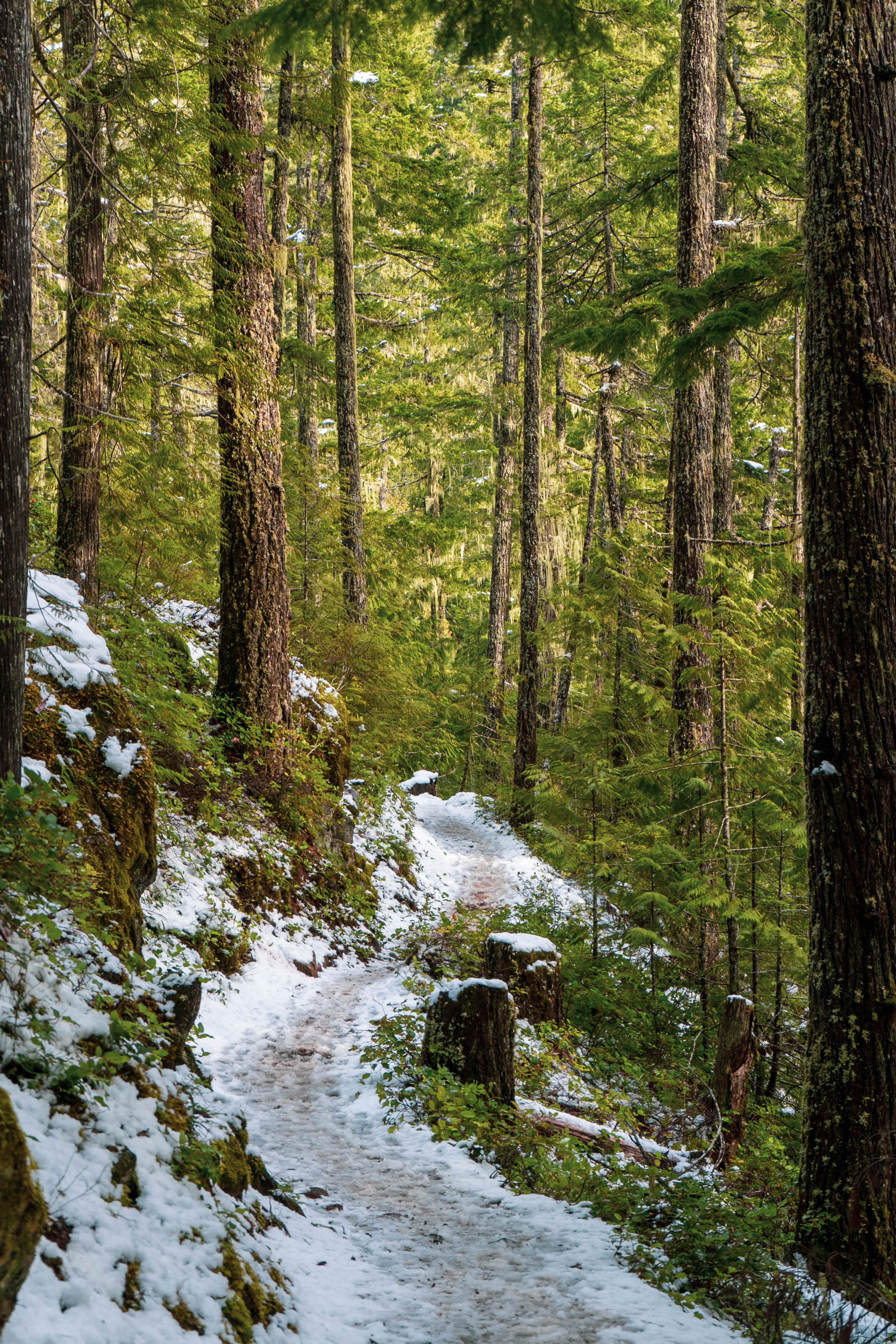
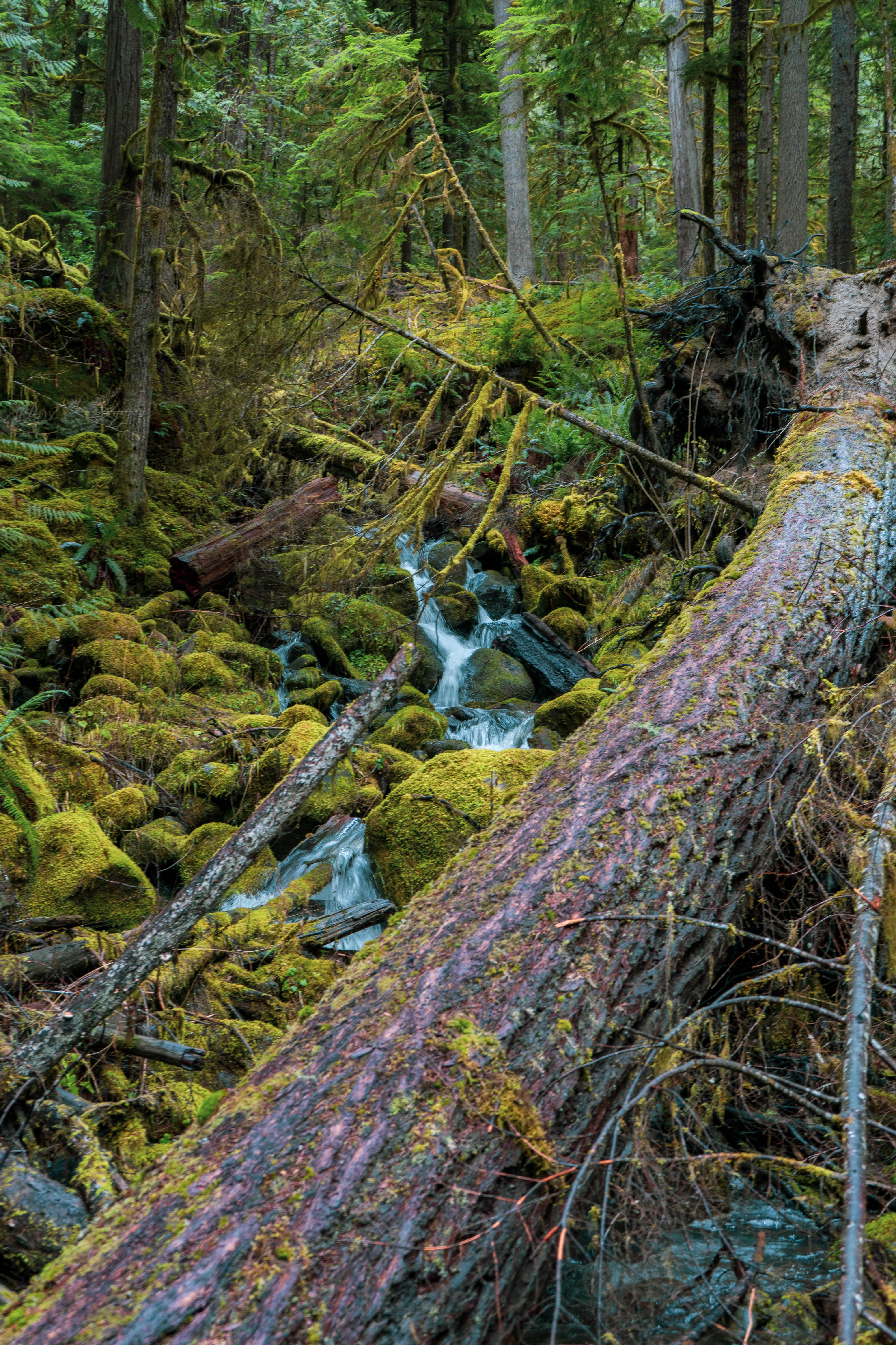
Silver Lakes Way: 8 miles, 1700 feet
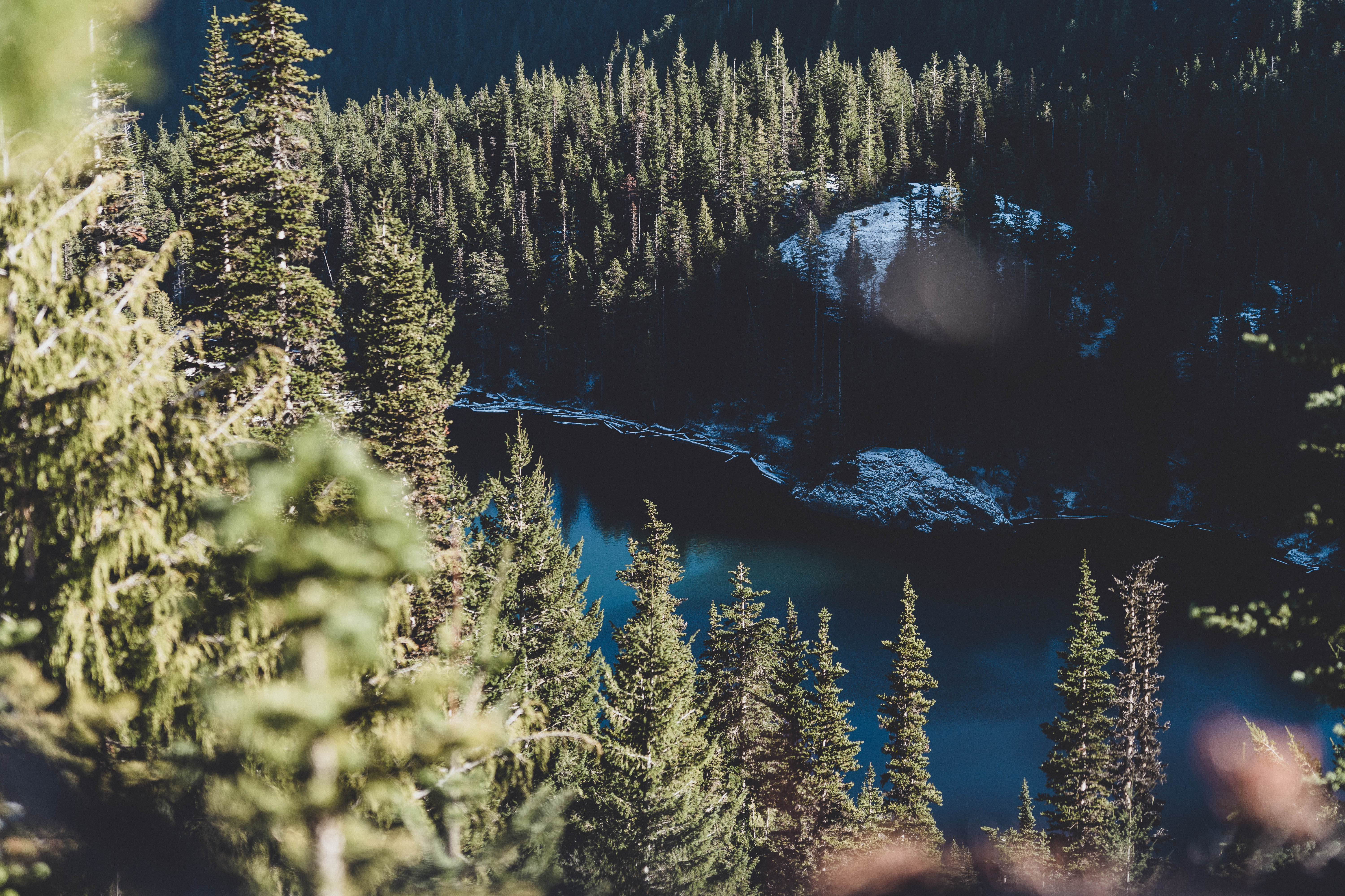
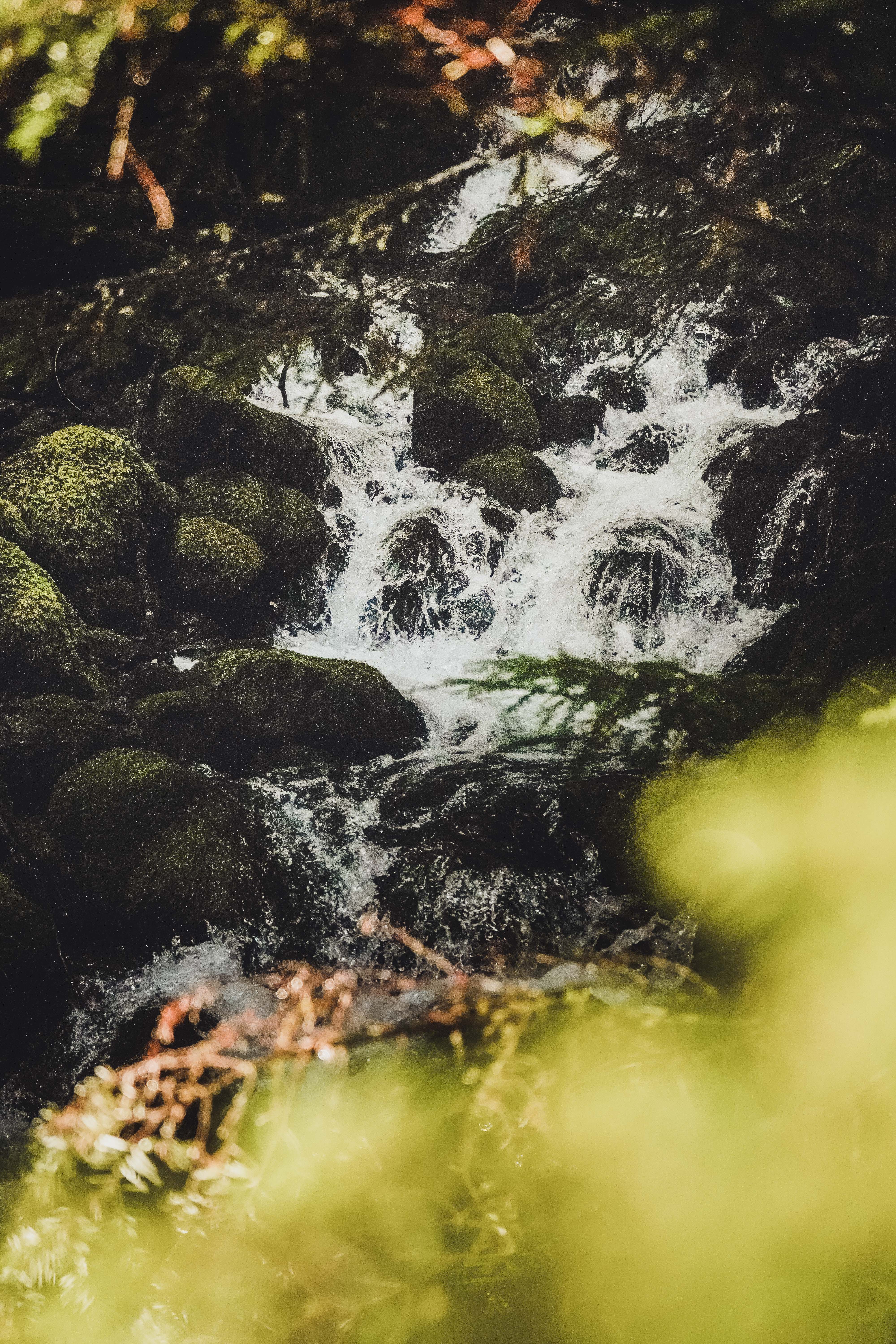
I really love this trail. I’ve done it twice now – once by myself in 2019 and once with Mike this winter. This year, we traipsed through shin-deep snow to a frozen Silver Lake on Black Friday. The trail was snow covered almost the entire way up, with icy sections on the bottom half and deep snow on the top half. Micro-spikes helped on the lower trail but they didn’t do much in the deeper snow. The trail was in good shape but there were two or three sections that were very steep, and one short borderline scramble that might test you if you’re not an experienced hiker. Beautiful streams and mini waterfalls – three or four stream crossings (and no bridges) depending on the water levels. The road getting there is a serious game of dodge the pot holes. Last chance for bathroom break is at the Upper Dungeness parking lot. (read more) View on All Trails.
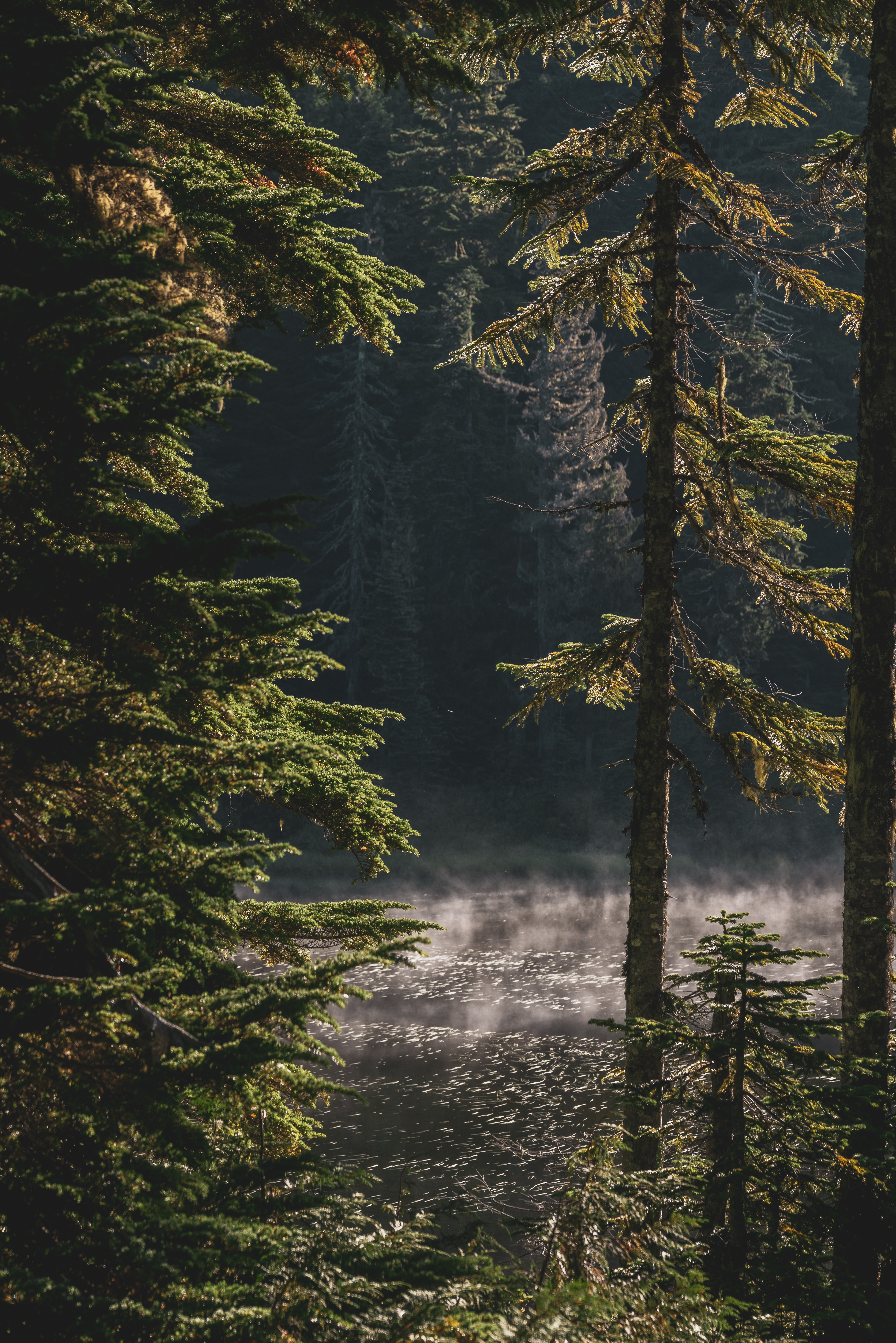
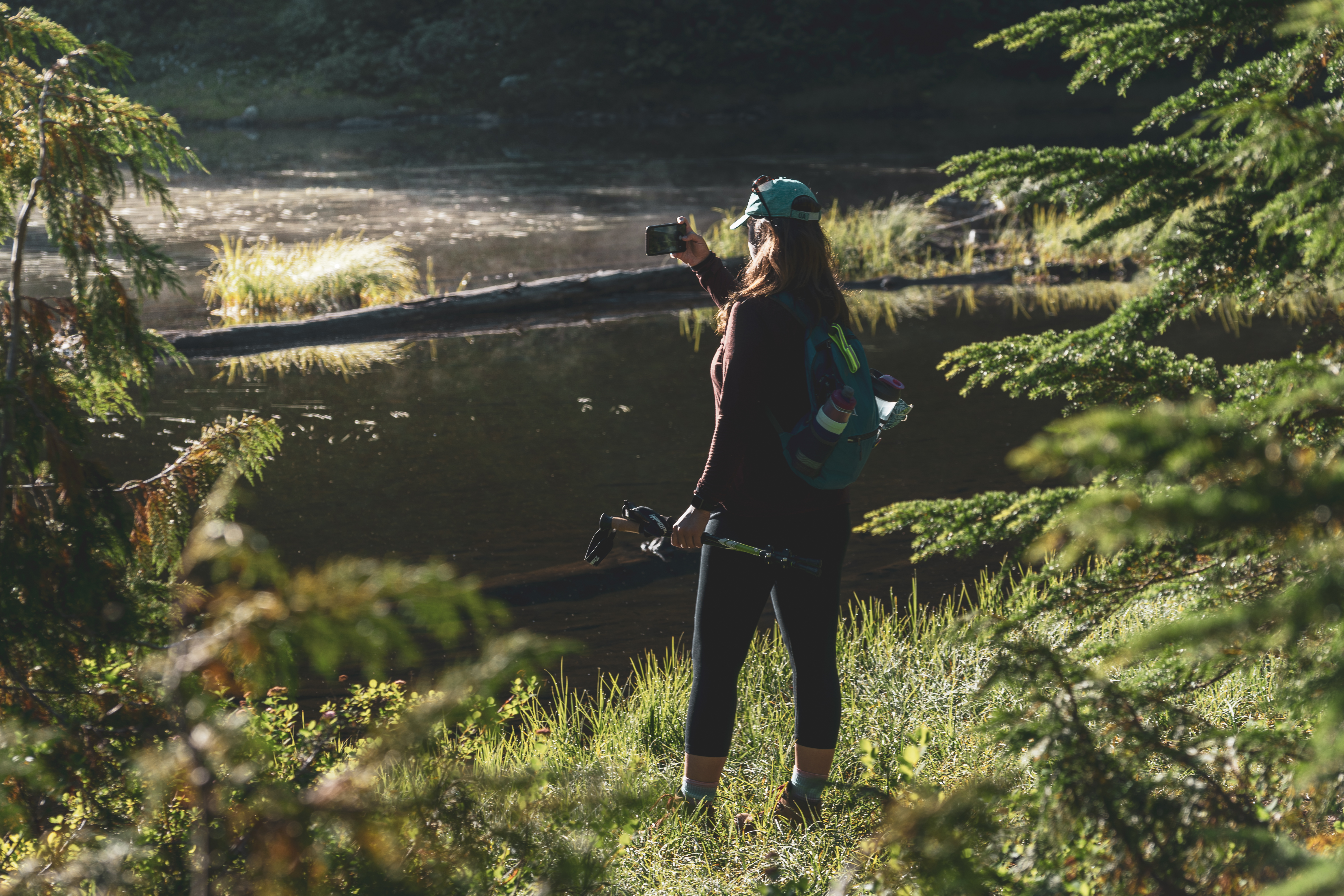
Lower Lena Lake: (A) 7 miles, 1550 feet, (B) 9 miles, 1700 feet
It’s an easy drive to this trailhead and that makes it a pretty popular hike. Mike and I did it with the dogs in January (with snow), and I completed it solo in December (with no snow), adding an extra two miles by walking around the lakeshore and beyond the campsites. It’s a lovely trail with very easy/moderate incline to Lower Lena Lake. Many sections of the trail are covered with water the day after heavy rain, so wear waterproof boots or come to terms with having wet feet. View on All Trails.
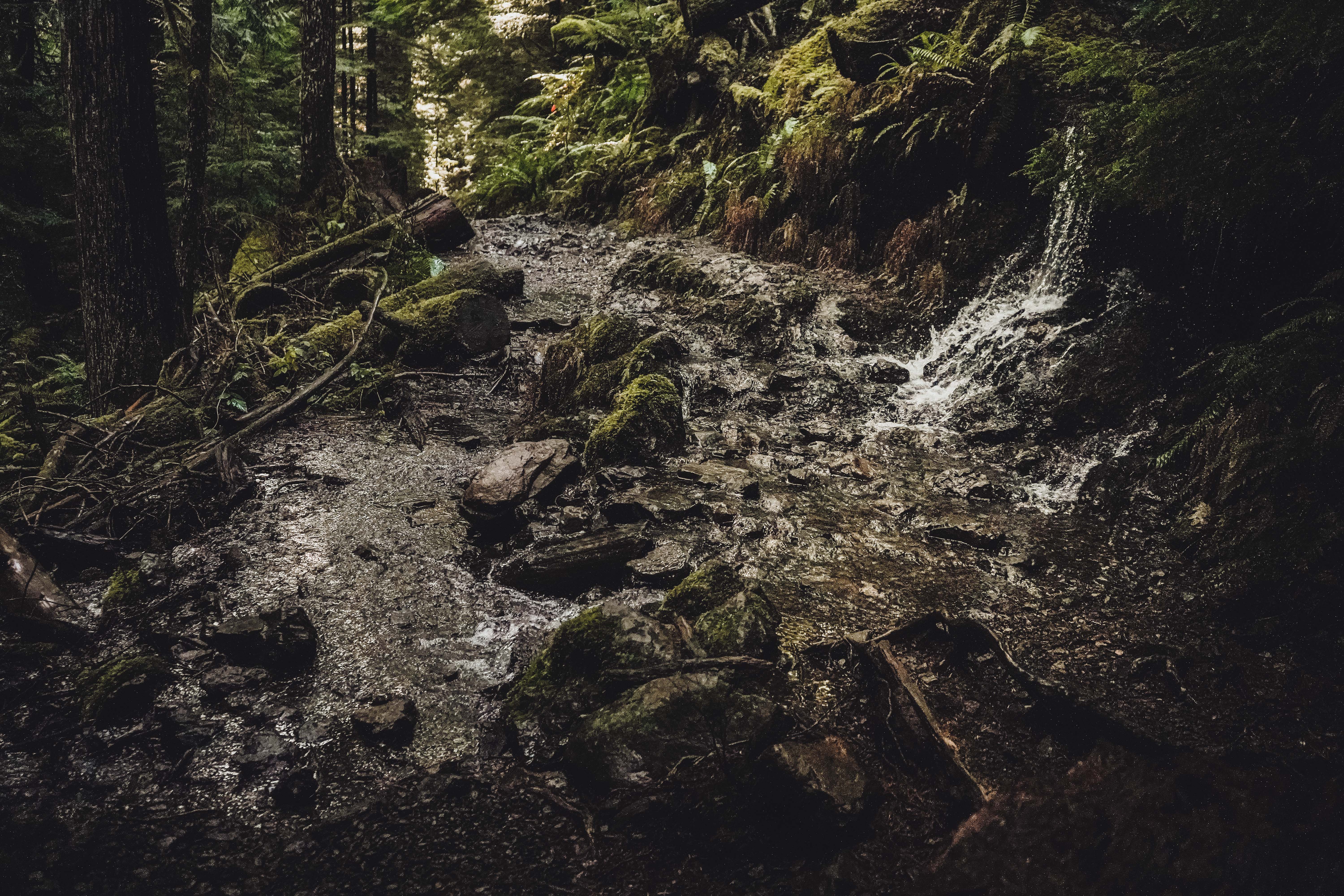
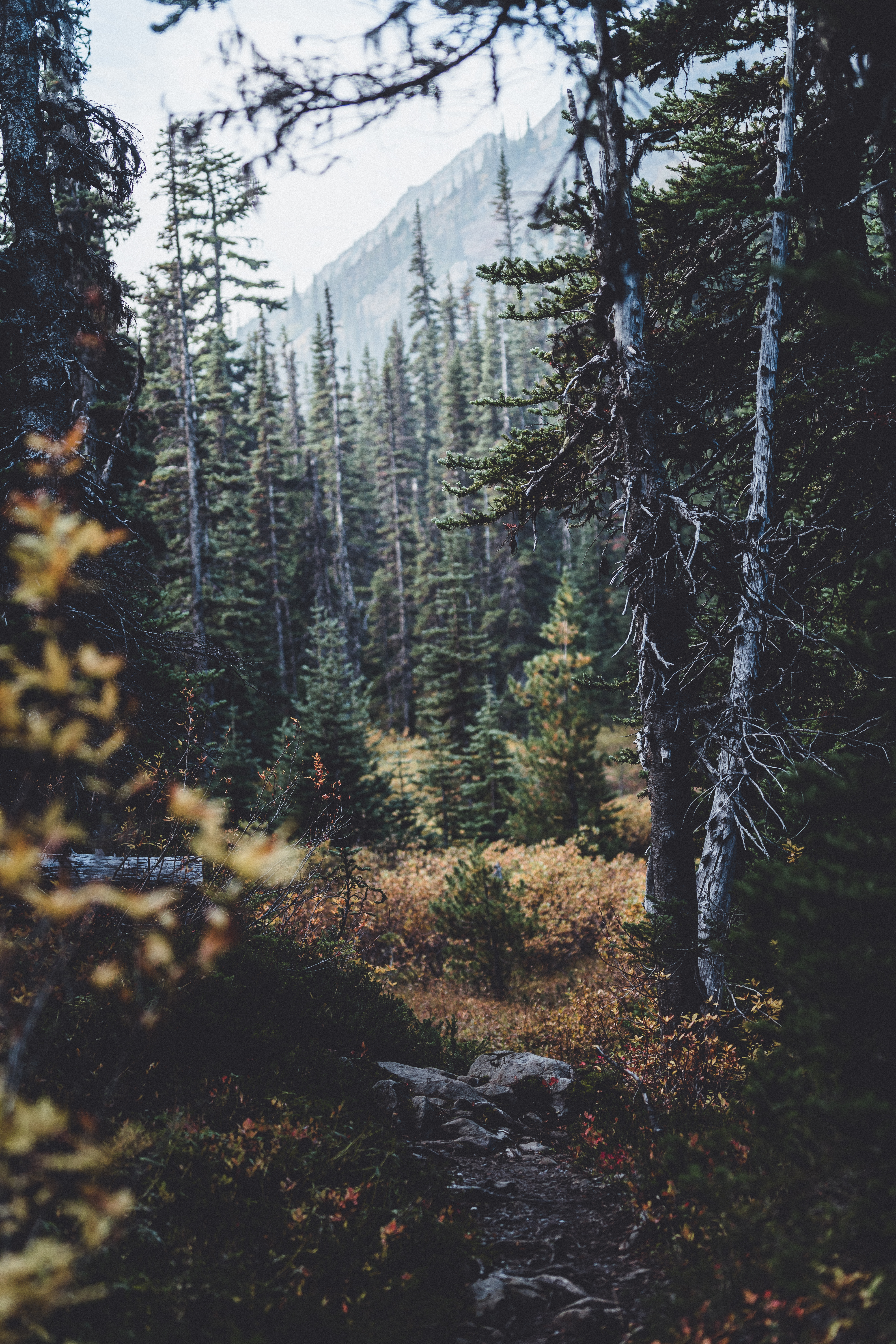
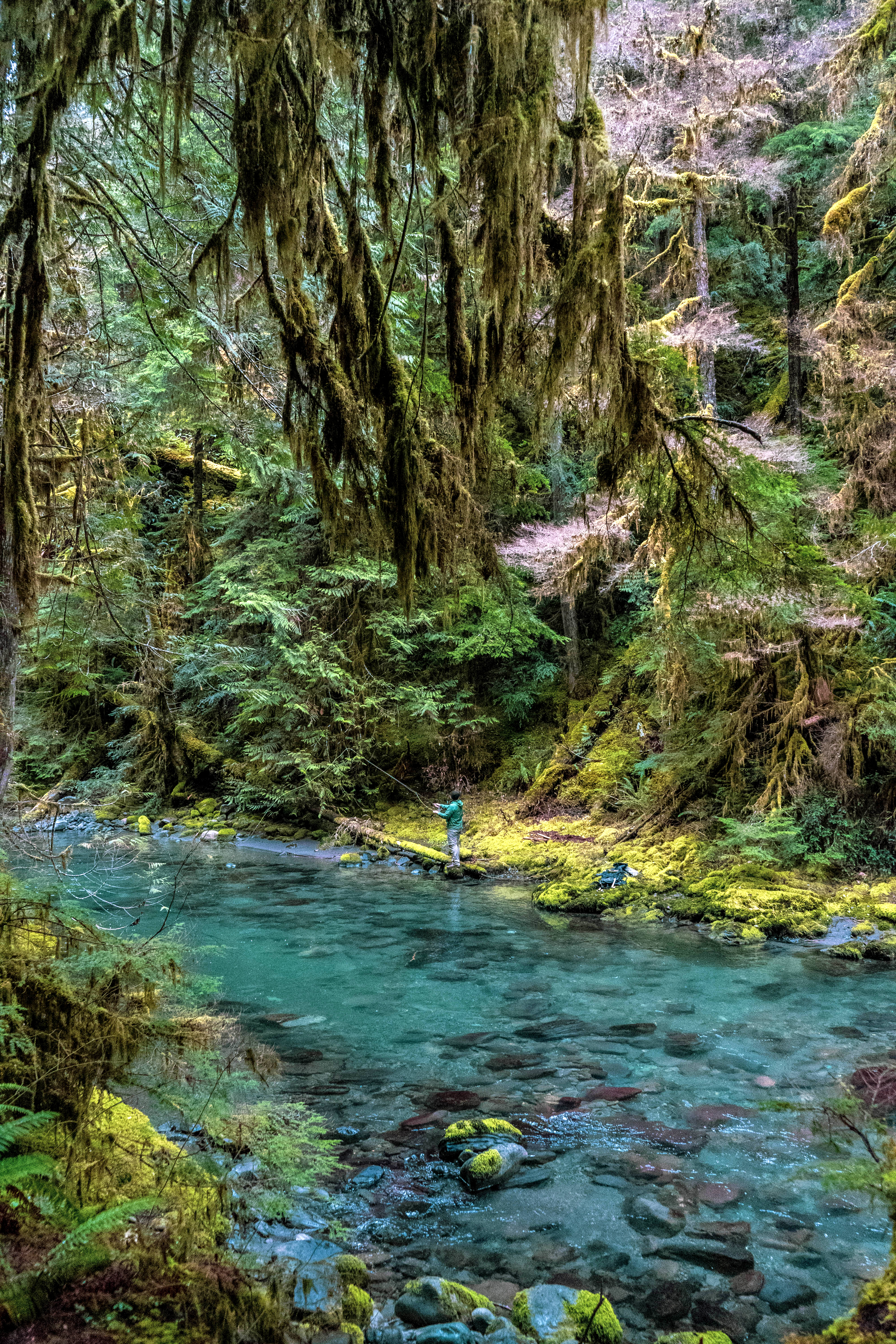
Tubal Cain to Tull Canyon: 8 miles, 1400 feet
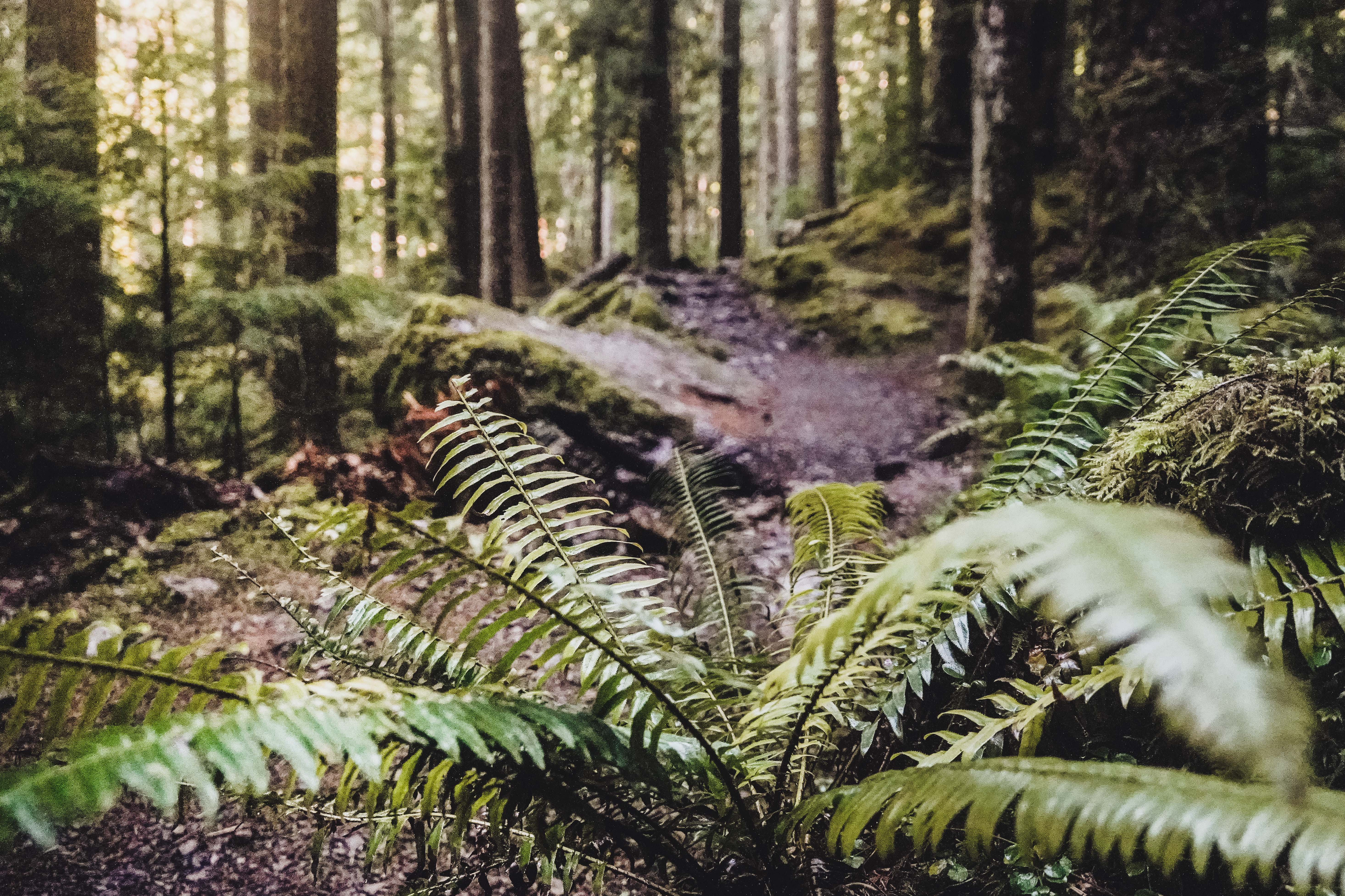
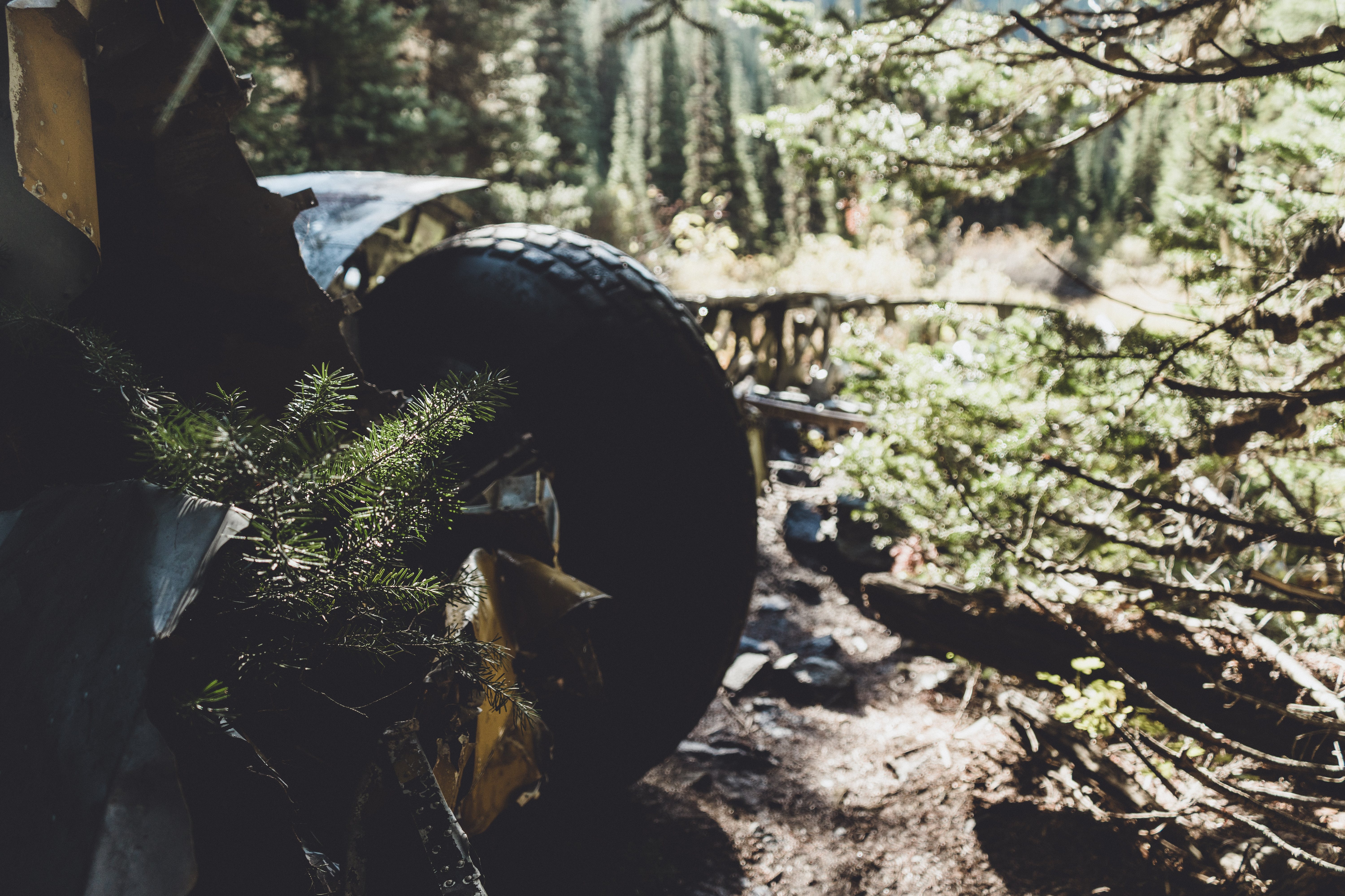
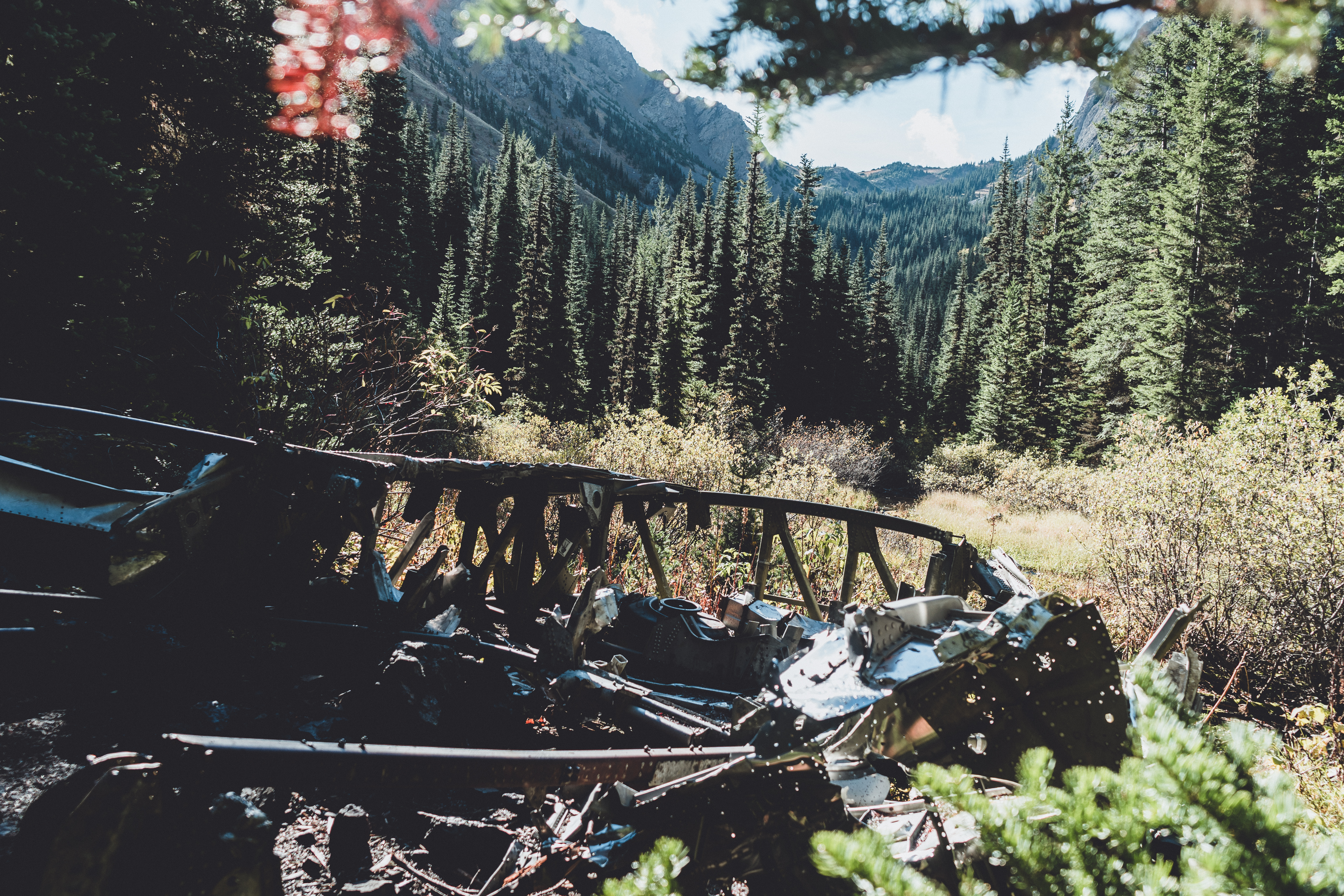
Completed with Katie and Brandon. This trail starts out nice and flat with only a few sections of incline. There are some abandoned mines you can explore, but they’re really just dark, damp tunnels. Once you reach the Tull Canyon trail, the incline really hits you and things get steep! Finally you’ll reach the wreck of the B-17 plane scattered throughout the forest. It’s pretty cool and a little creepy. In January 1952, a search-and-rescue B-17 was returning to McChord Air Force Base after assisting with a rescue mission in Canadian waters. Flying in blizzard-like conditions, the crew of eight was passing over the Olympic Mountains when their jumbo plane clipped a ridge and skidded down a steep, snowy slope. Three of the eight crew members were killed in the crash, and the survivors came to rest in a high mountain valley. They built emergency shelters until they were airlifted out the following day. For more than six decades, wreckage of that plane has survived as one of the most unusual destinations for hikers in the Pacific Northwest — one that combines the region’s aviation history with a splendid mountain locale. View on All Trails.
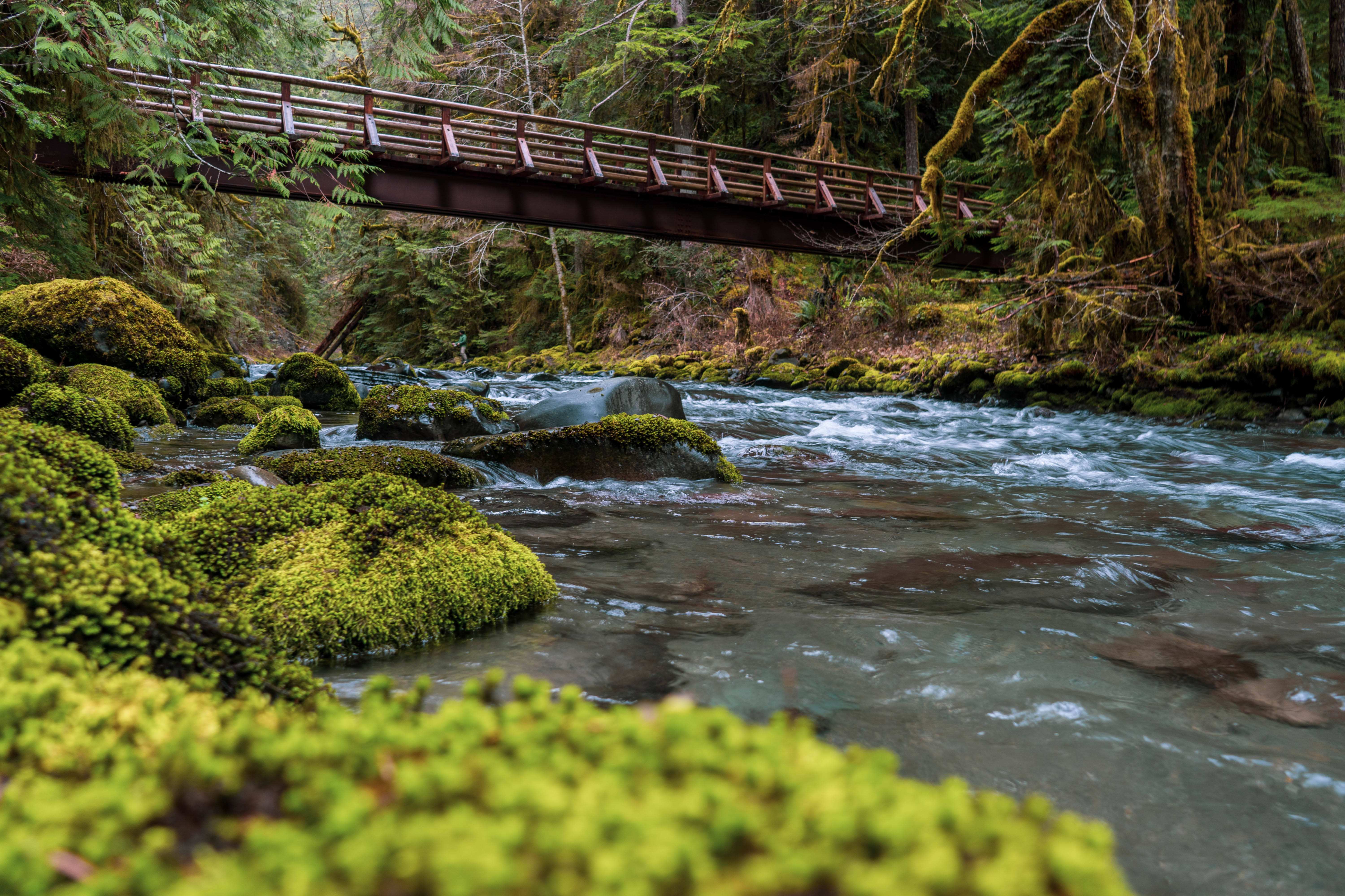
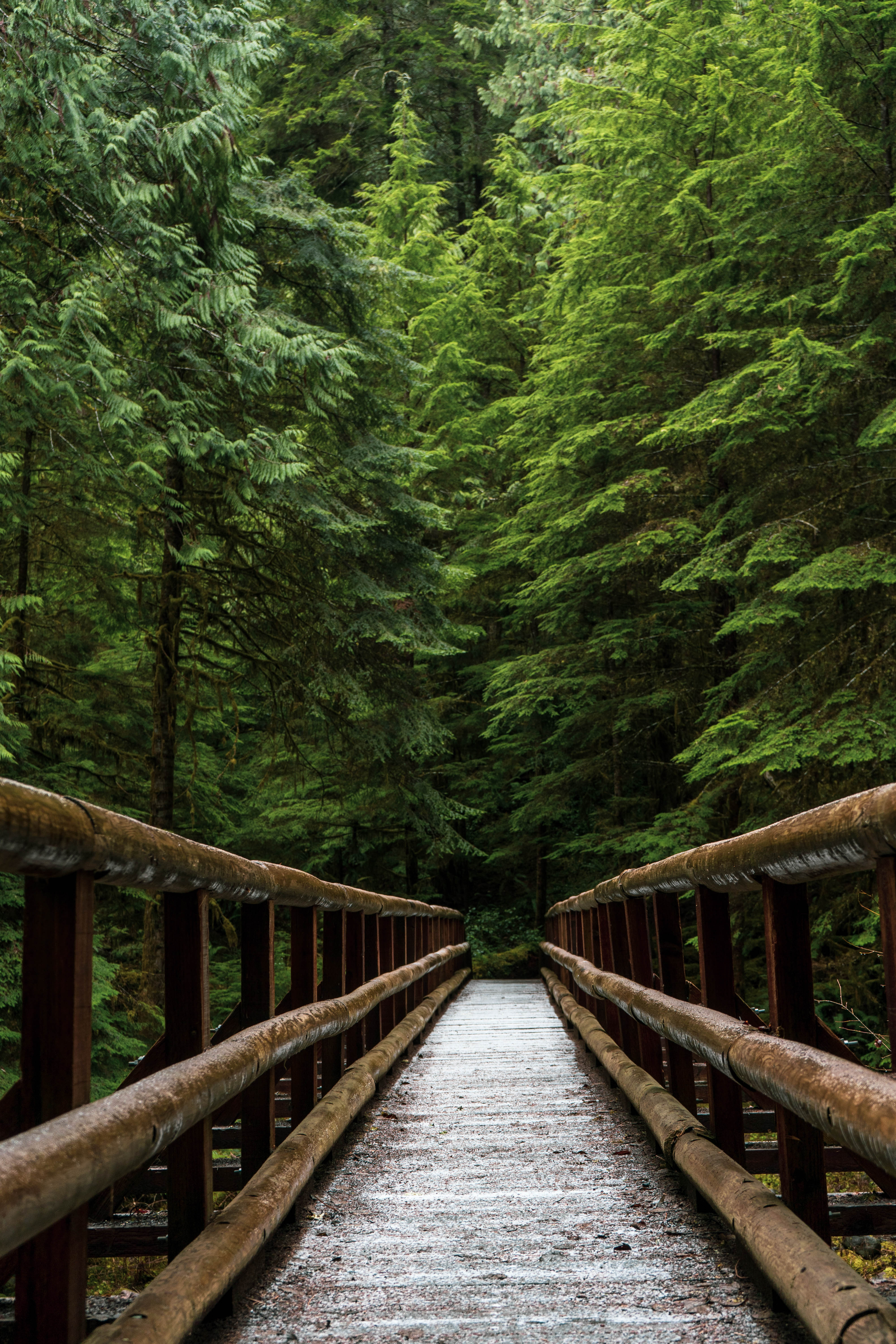
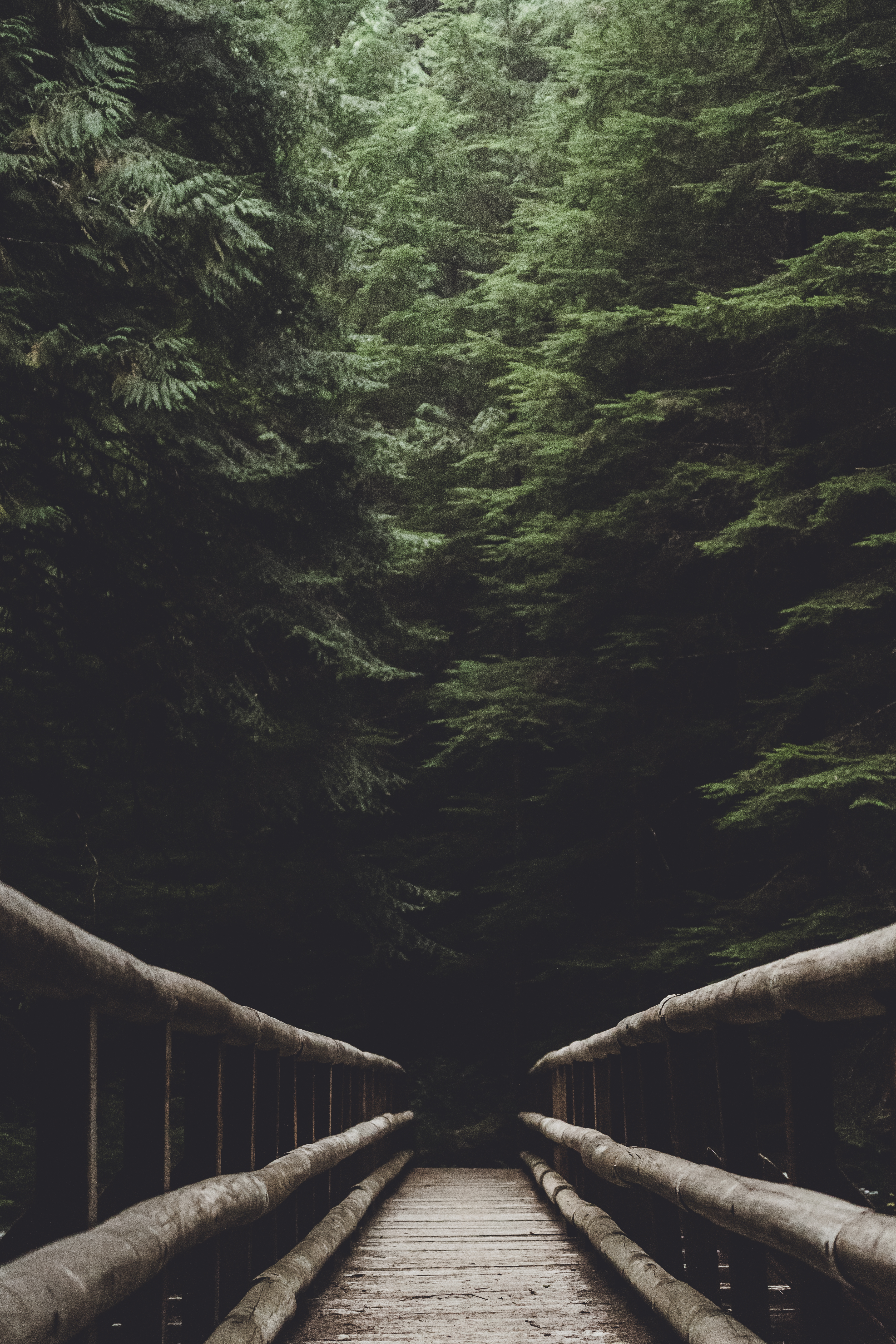
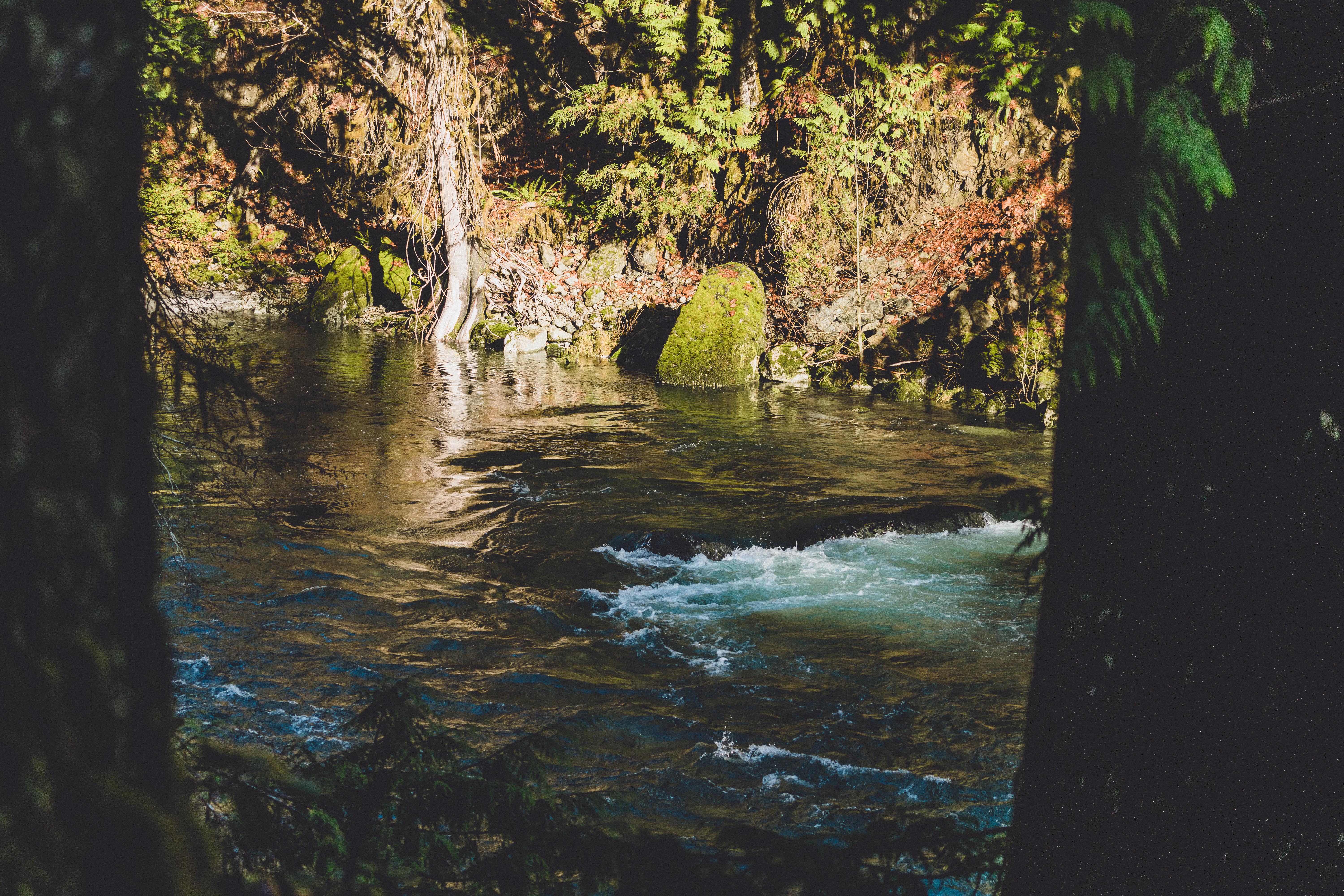
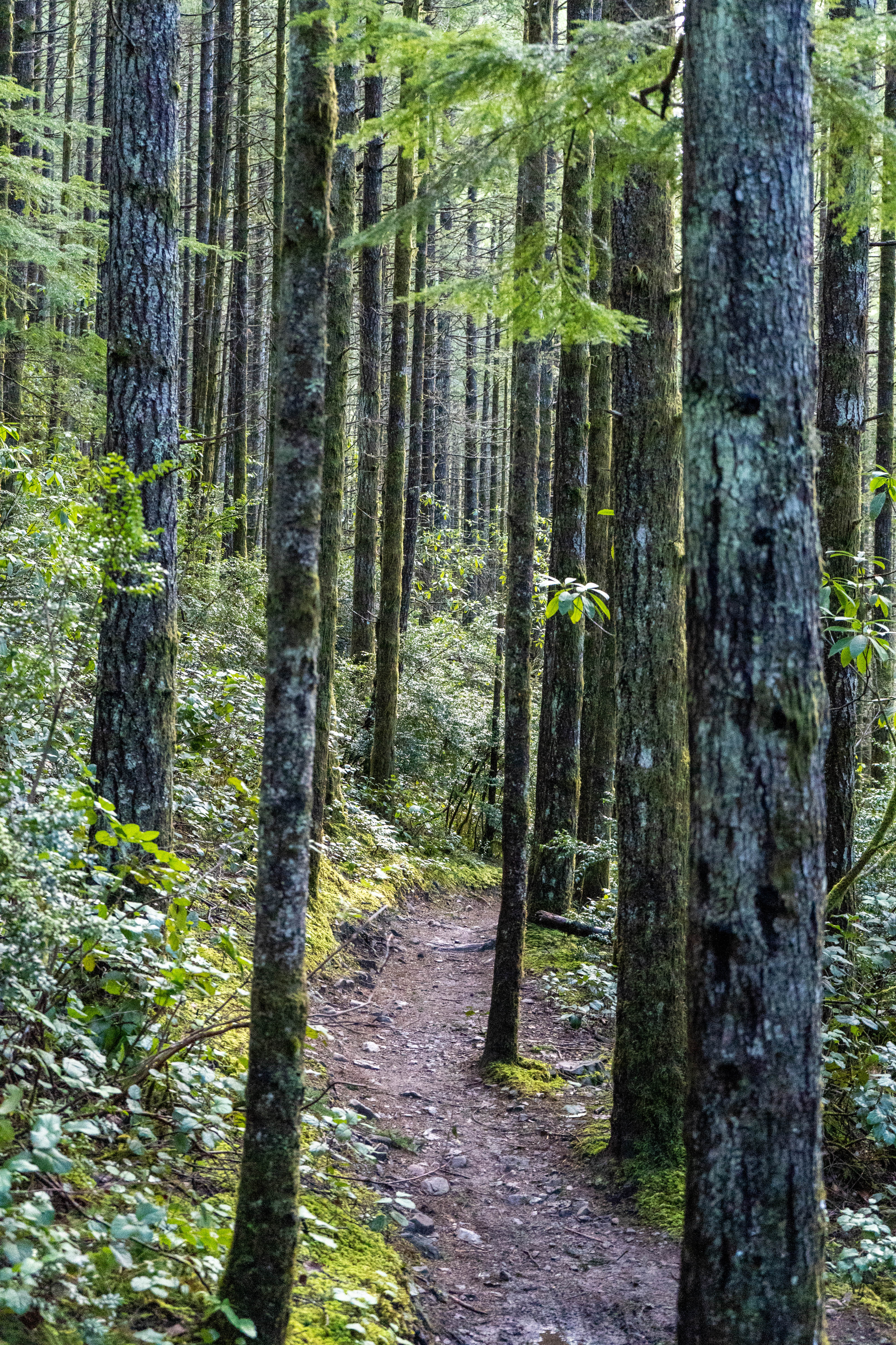
Slab Camp: 8.5 miles, 1550
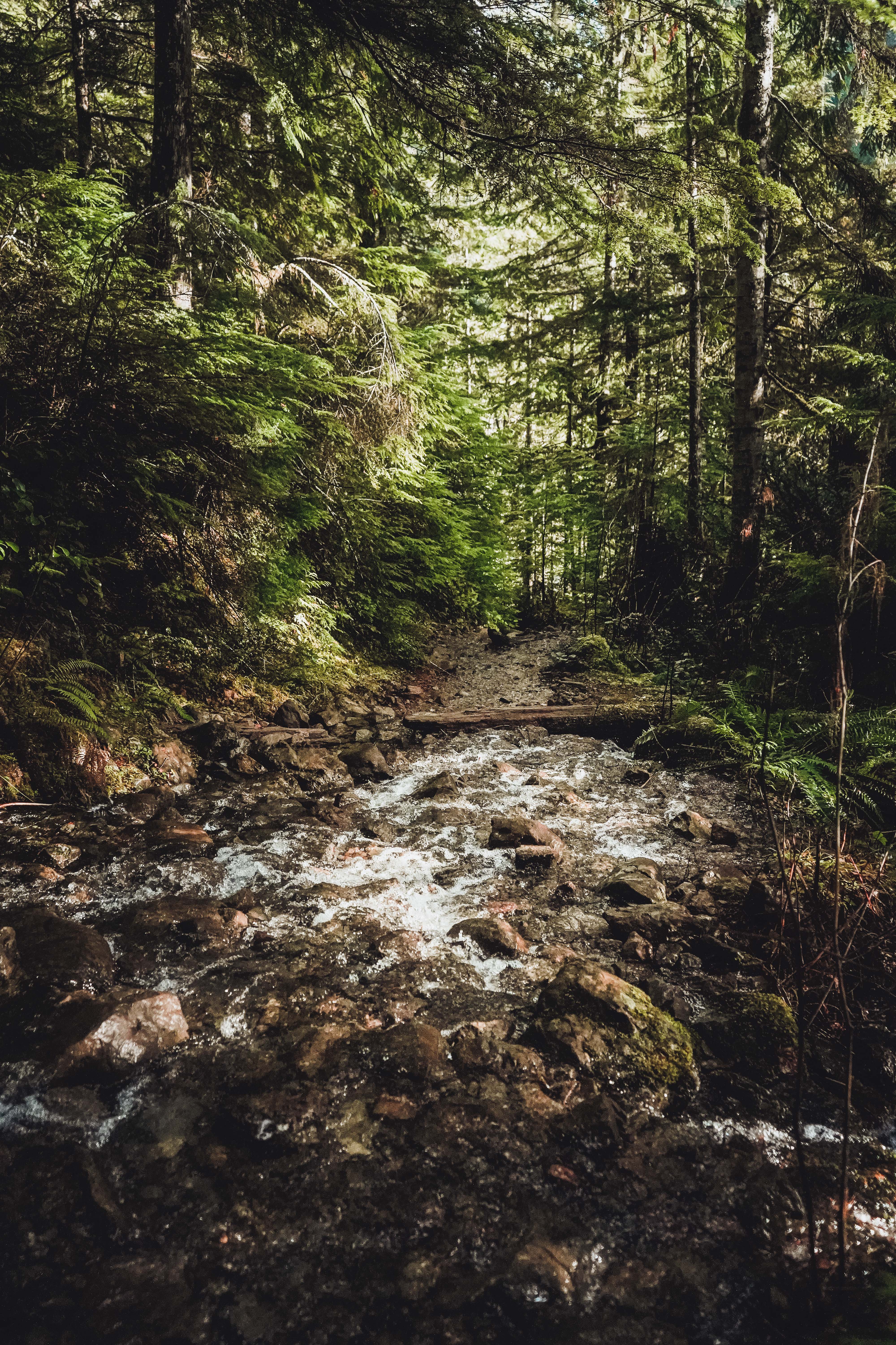
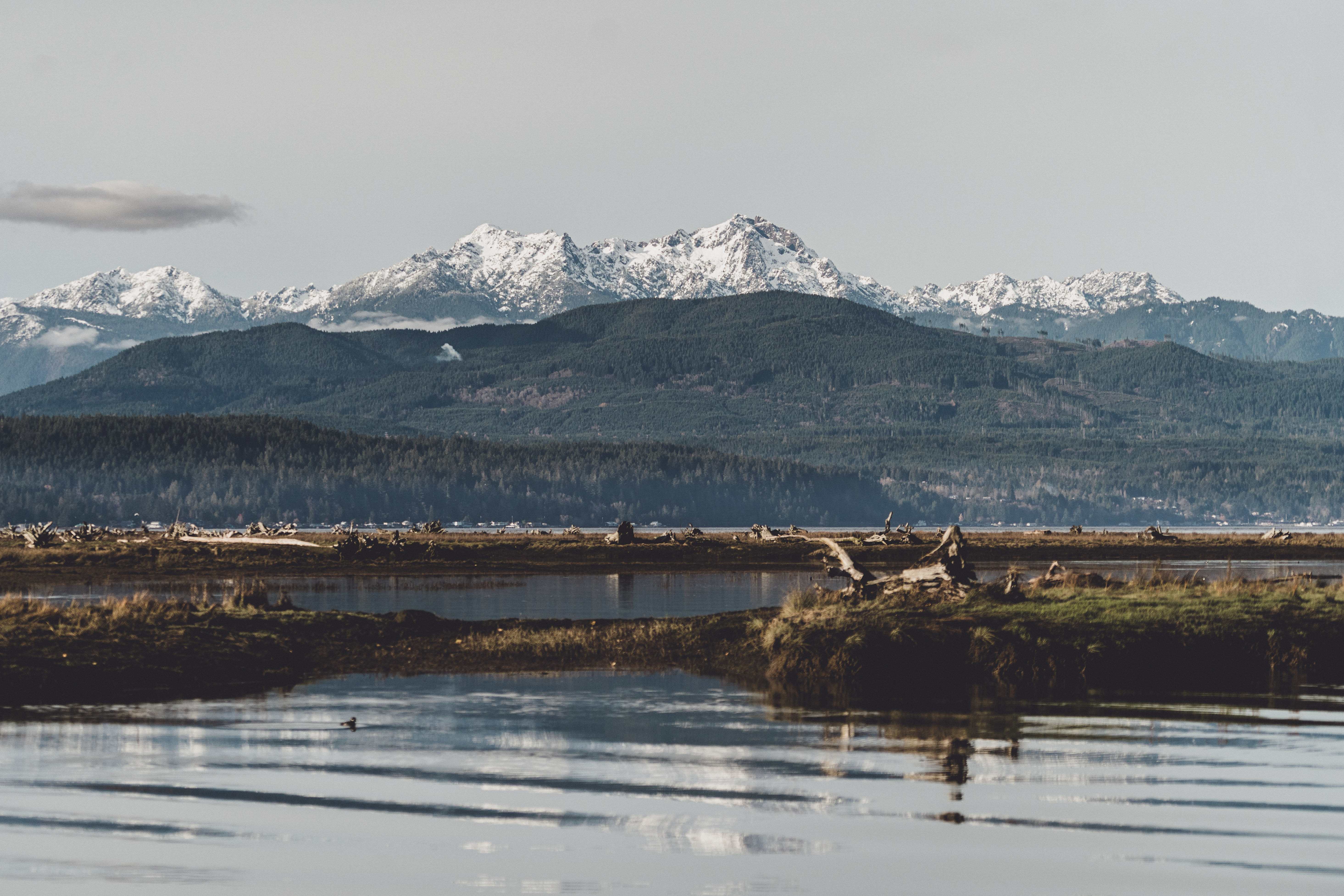
I first did this trail on Christmas Day 2019 with Mike. This year, I completed with Dad when he came to do some house hunting in September. We chose this hike because it’s fairly low in elevation and mostly tree-covered. Dad had chosen to visit during the peak of the wildfire smoke air pollution Washington experienced during the summer. The air quality index was hazardous, and outdoor recreation was not recommended, but we went anyway. You start off heading downhill from the trailhead to the river, so the uphill stretch is on the way heading back to the car. It’s not too steep though, more on the easy side of moderate, and the trail is in great shape. The river is lovely, and it features one of my favorite wooden bridges. View on All Trails.
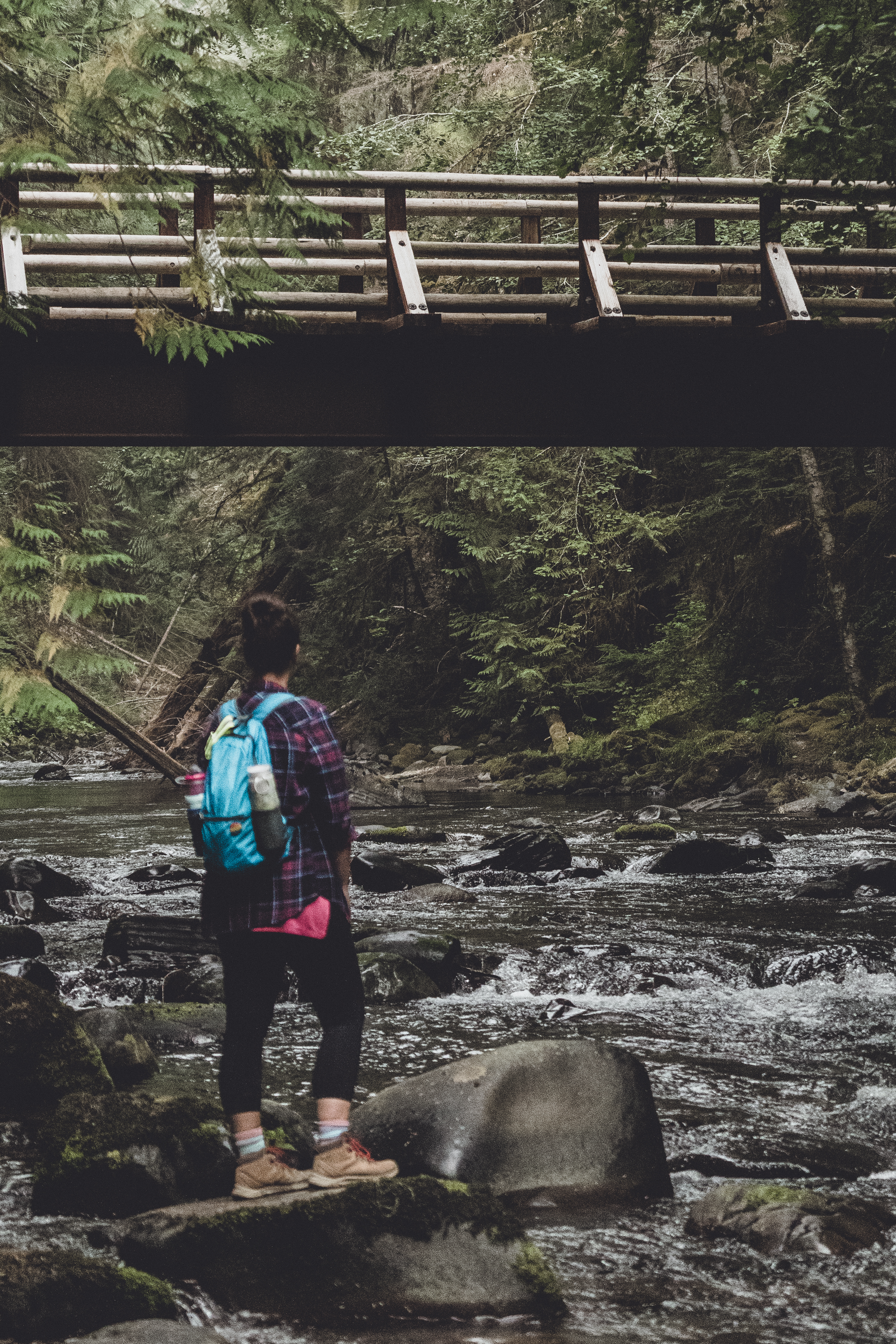
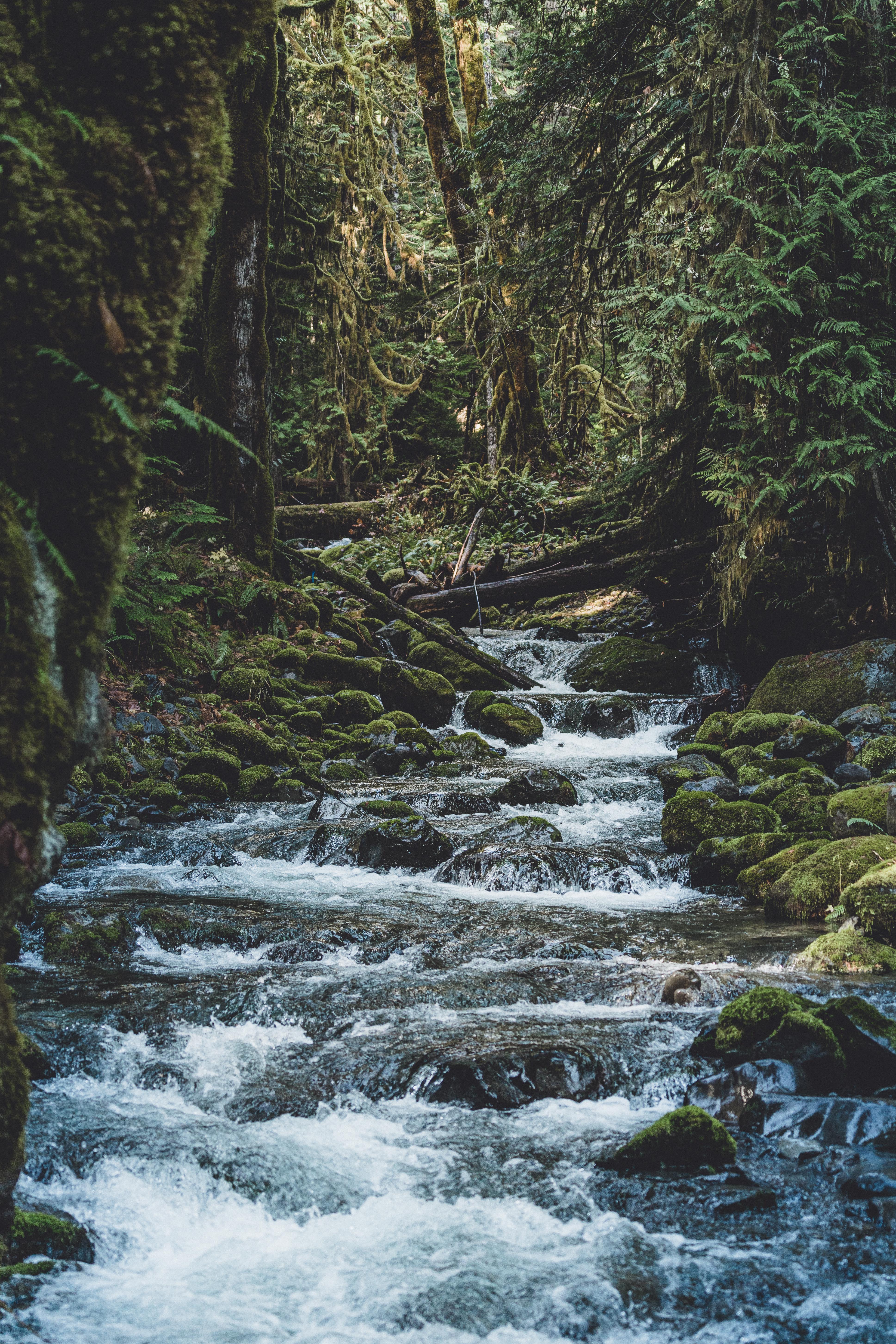
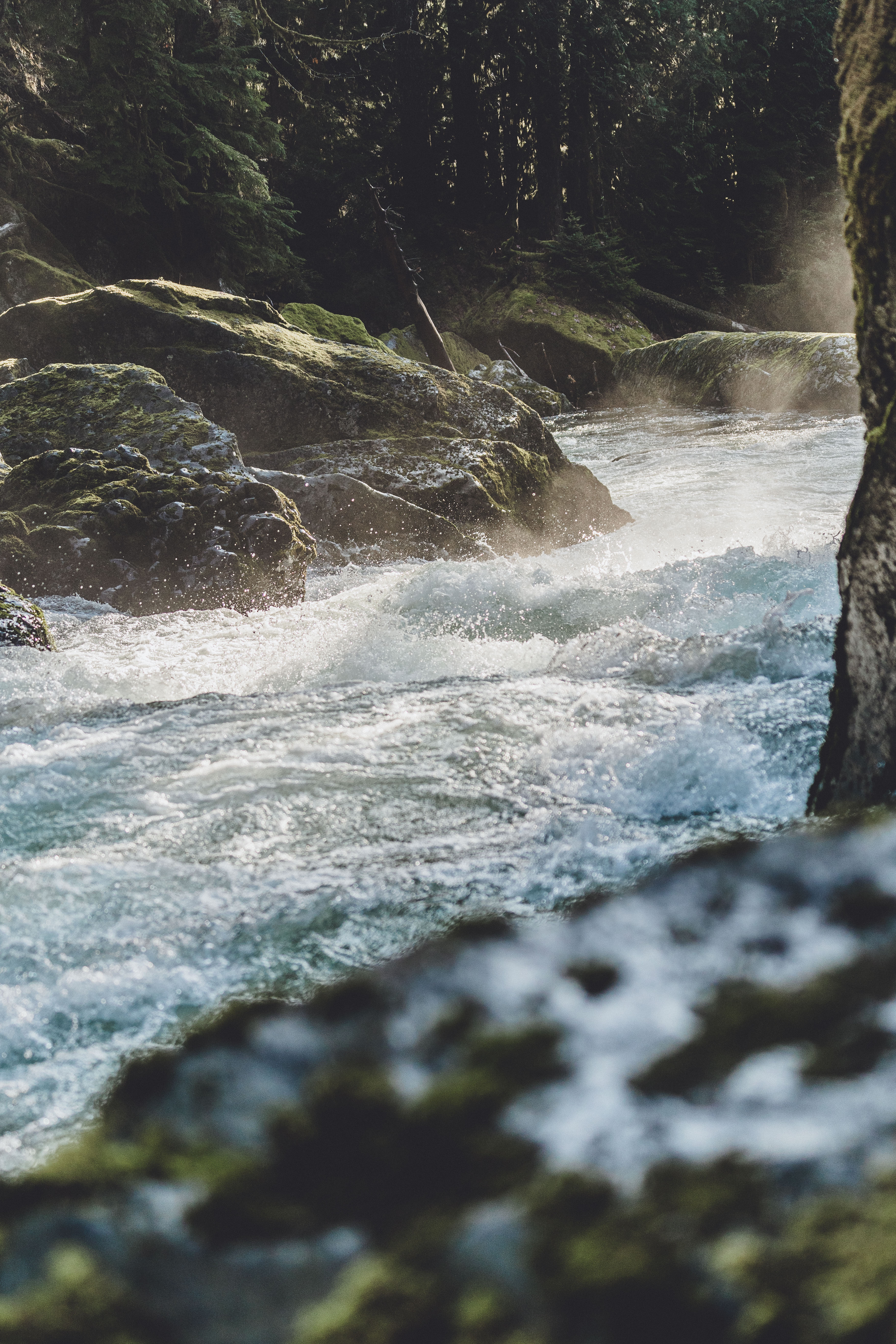
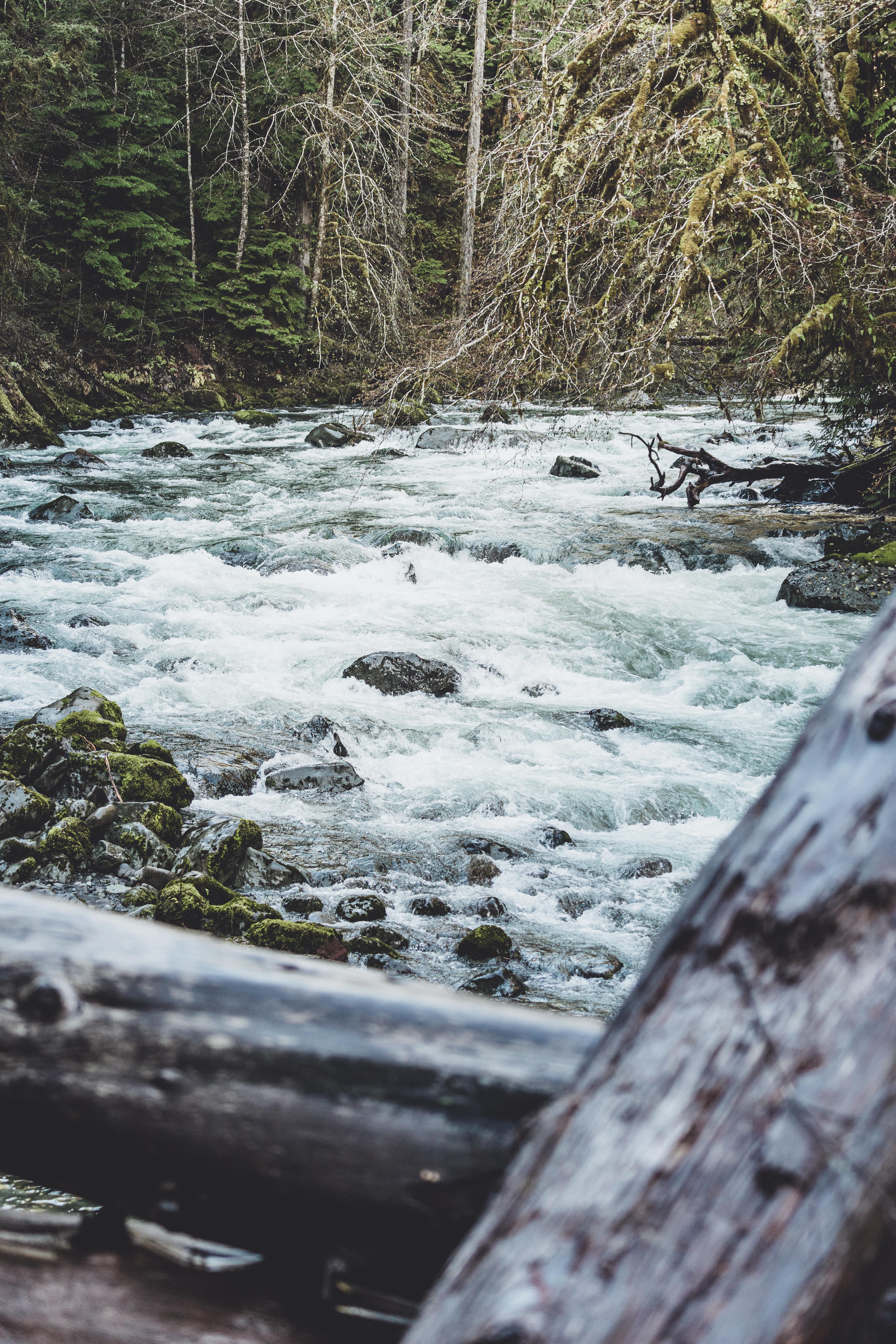
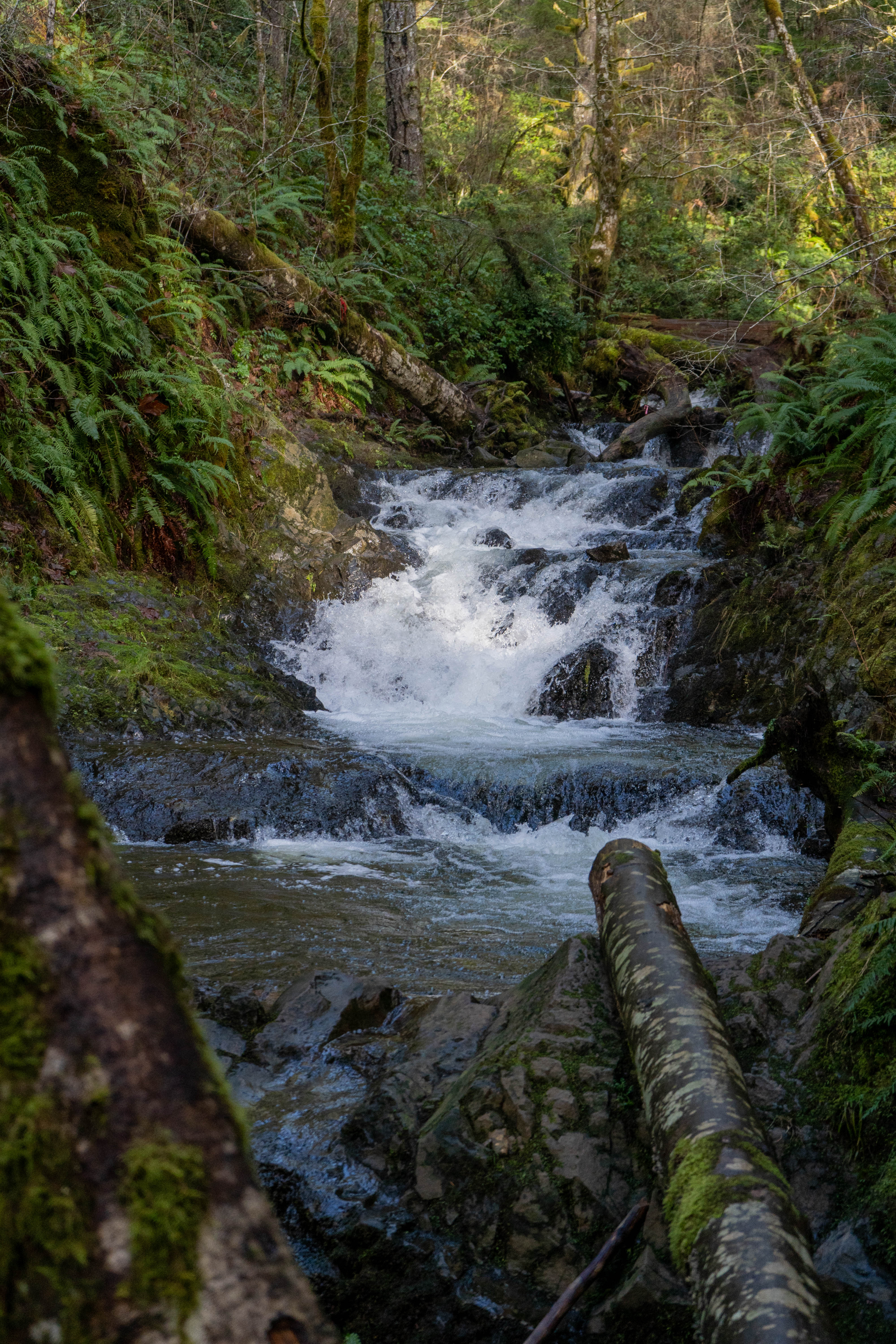
Staircase Rapids: 6 miles, 400 feet
This is really a delightful hike but it’s mostly flat. Mike loved it, because it was an easy hike but there was a lot of terrain to explore off trail by the river. I prefer a hike that presents some sort of challenge. I did enjoy the raging white water of the river, and there were lots of offshoots from the main trail with vantage points for photos. Honestly though, my favorite part of the hike was the drive there and back – we stopped at a couple of places on the way that had great views of the mountains. View on All Trails.
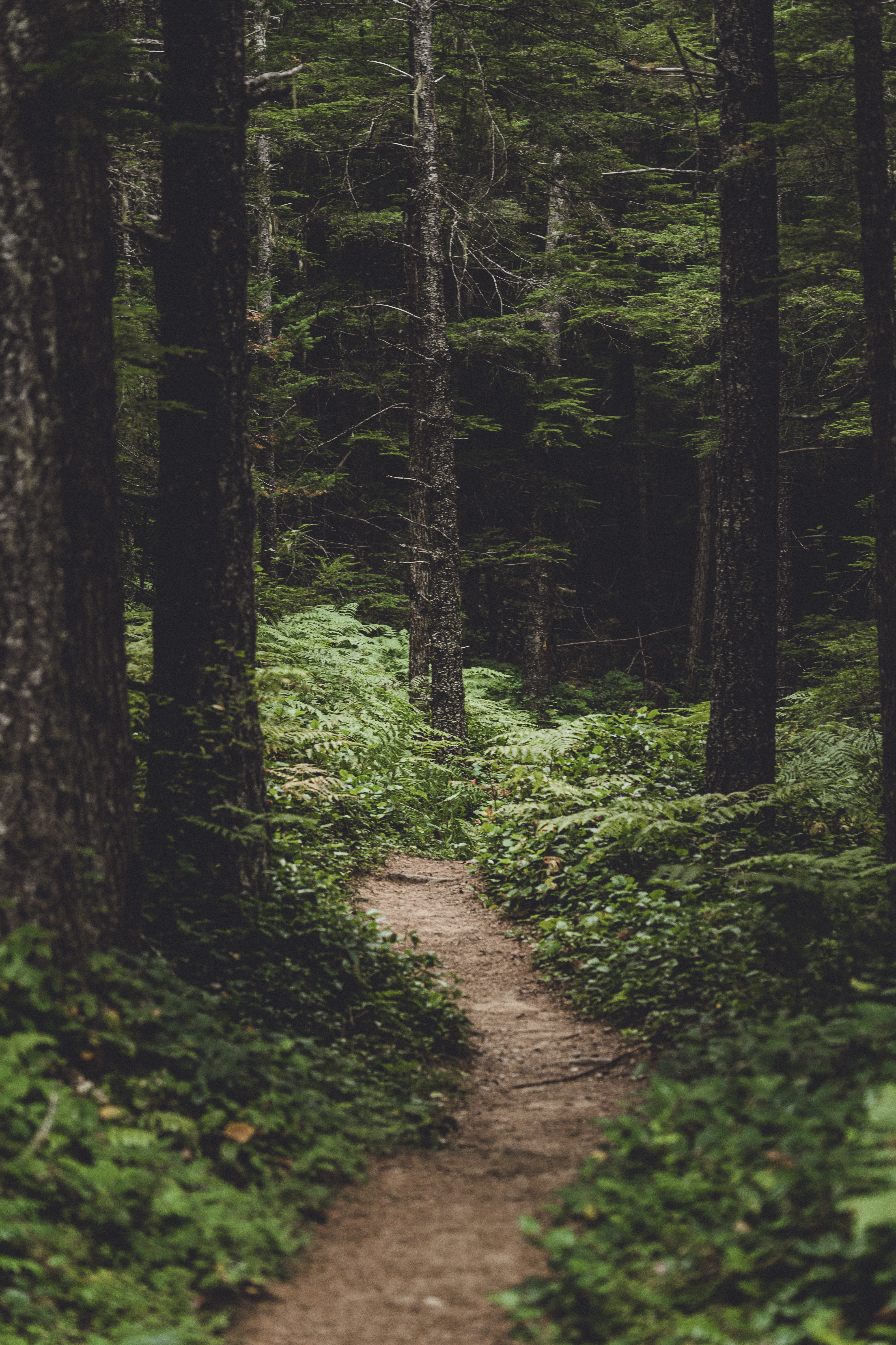
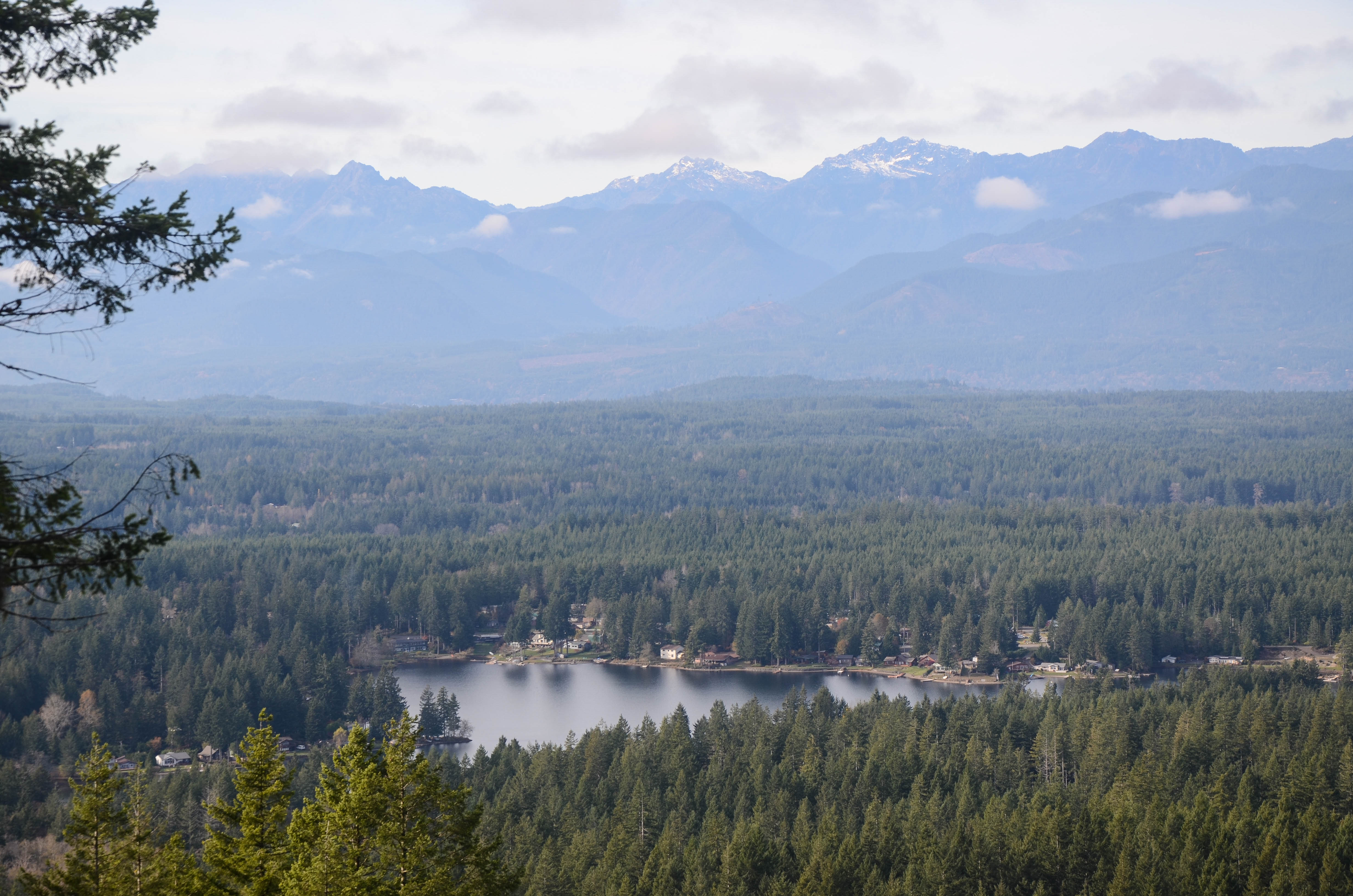
Green Mountain & Gold Creek: 3.5 miles, 700 feet
This trail is close to home and super easy to access. The trail itself is short and sweet with moderate incline and a decent view of the Olympics at the top. There are a few other trails that connect to it so you can add mileage and incline for more of a challenge. This will be on my list to complete a few times next year. View on All Trails.


1 comments on “Hike Washington: 150 miles in 2020”