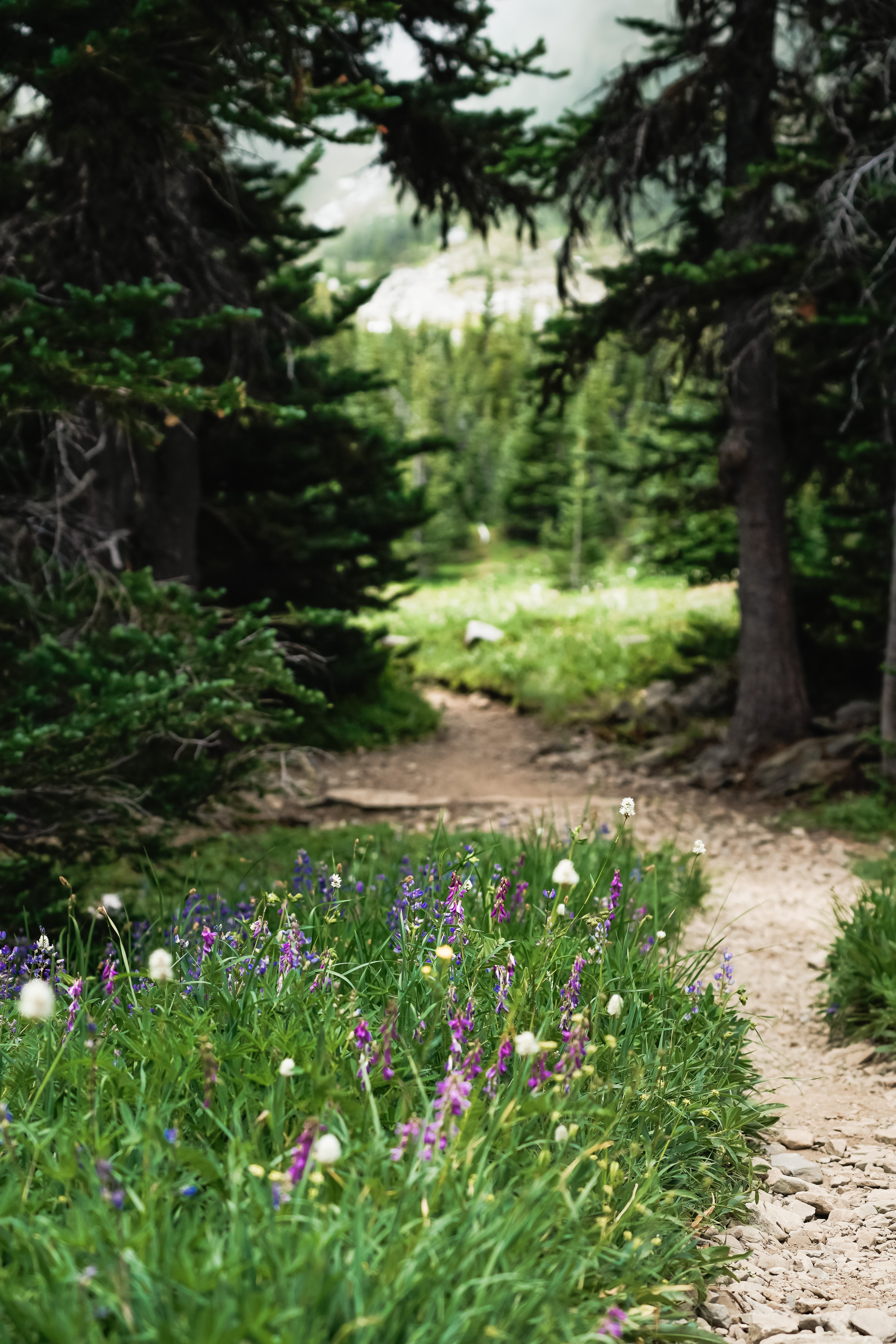
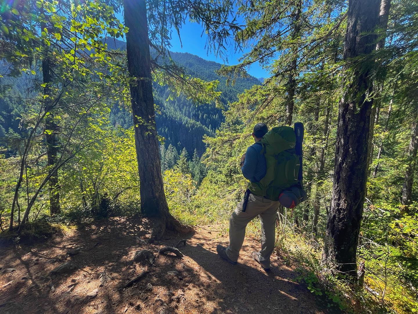
It’s time for my favorite part of the year – my annual hike round-up! Last year, over the course of just eight months, I completed 17 hikes for 150 miles and climbed 38,675 vertical feet. I use my AllTrails app to track every hike, and I also have my Apple Watch as a backup. This year, I completed 23 hikes for 170+ miles, and more than 42,000 vertical feet. I hit the trail at least once in every month except March and November.
This year I am going to list the hikes in the order I completed them instead of starting with my favorites. You can read last year’s round-up here!
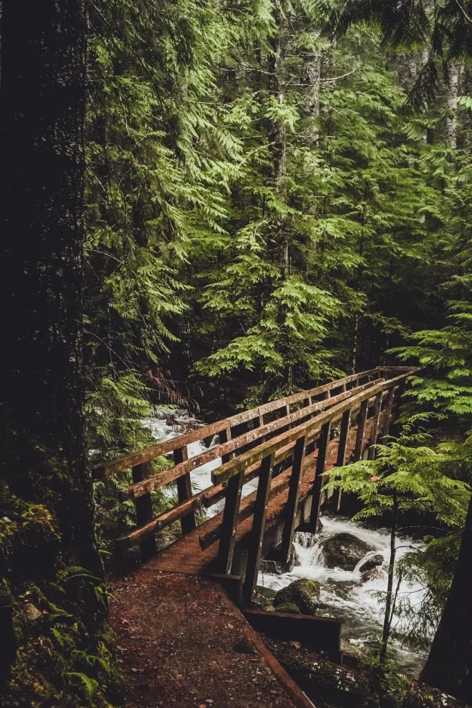
1: Upper Big Creek Loop, 1/1/2021 | 7.5 miles • 4 hours.
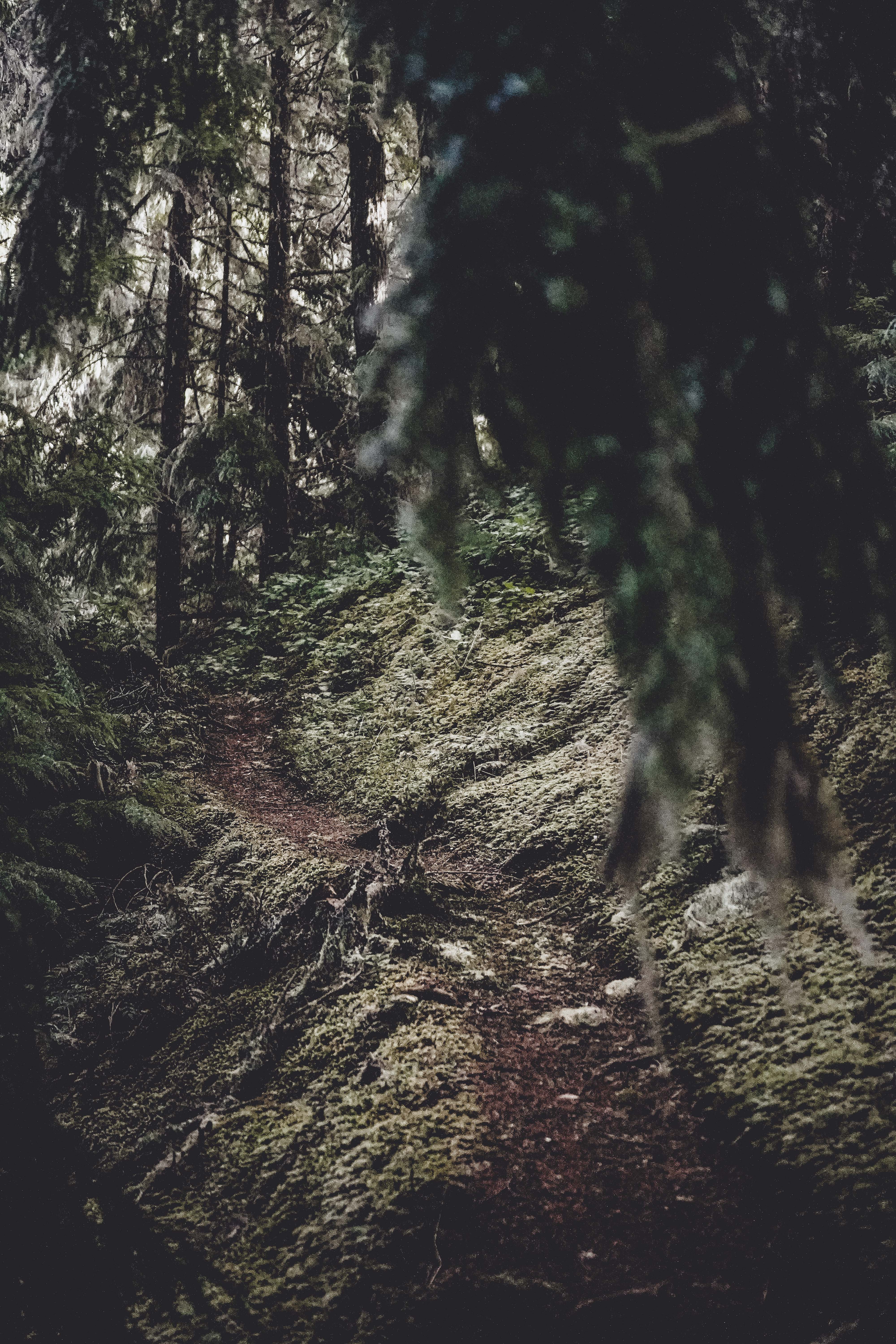
Completed with Katie, Monica and Brandon. I started off the year on the right foot, spending a rainy New Year’s Day on Upper Big Creek Loop Trail near Lilliwaup. This is a pretty popular trail and parking is limited, so recommend early arrival, especially in the summer. My photos do not accurately convey how wet this hike was. It was drizzling when we arrived at the trailhead and it did not stop all day. But you can’t help but be charmed by these Washington rainforests! We hiked uphill first to an overlook along the road to Mt. Ellinor, but because of the dense clouds, there was nothing to see. On a clear day, you can look out over Lake Cushman. On our way back down we hugged the river and passed over three or four wooden bridges at the confluence of three streams. Near the end of the hike my clothes were soaked, hands were pruney and my iPhone screen stopped working but I would say it was all worth it!
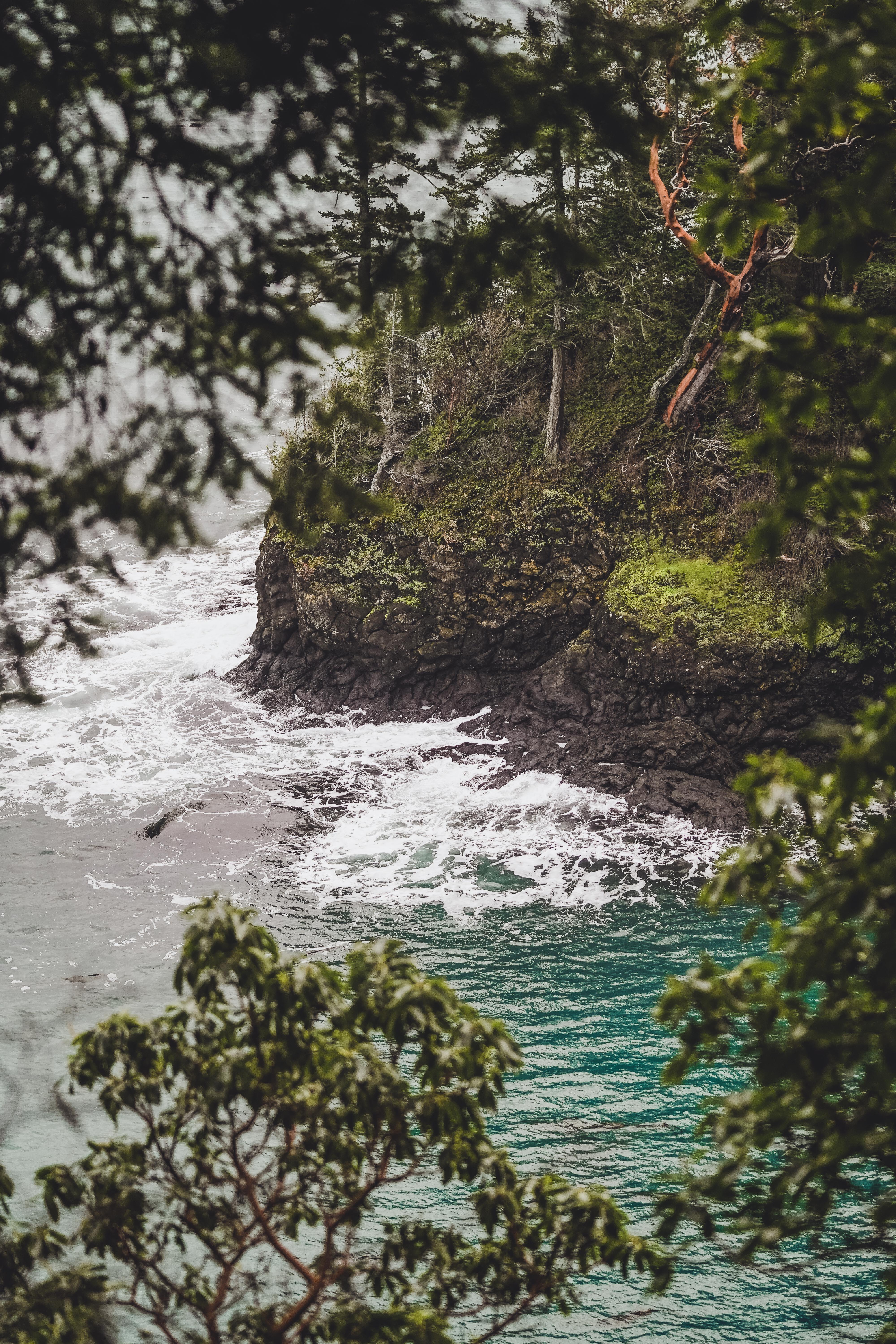
2: Striped Peak Vista, 1/9/2021 | 6.3 miles • 3 hours • 1,450 feet gain
Completed with Dad, Katie and Brandon. Took our chances with the weather today and fortunately the rain held out! Our view from the top was once again obscured by fog and clouds, so the side trail to the cove ended up being the real highlight, just like last time. After the hike, we also explored the coastline and walked down to Tongue Point, a rock outcropping that extends into the Strait of Juan de Fuca. Or at least…we got as close as we could get without being swept away by the high tide.
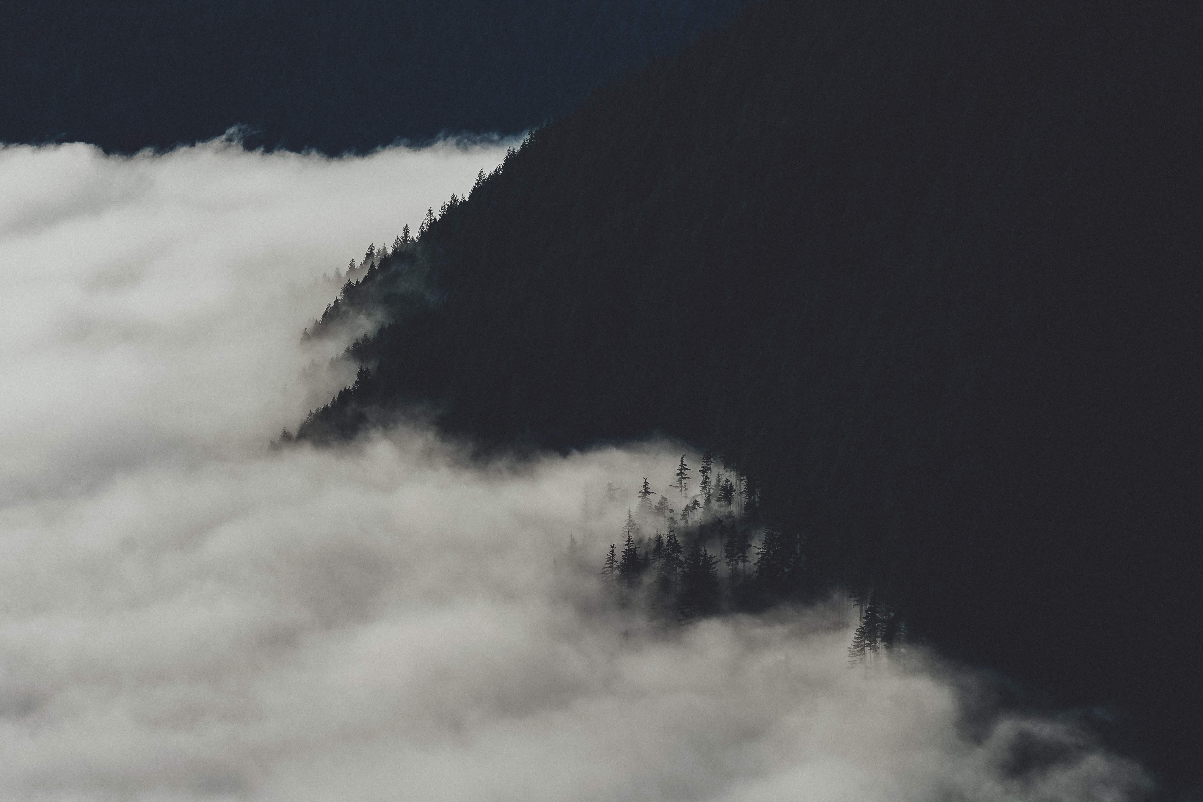
3: Mount Walker, 1/17/2021 | 6.5 miles • 3 hours • 2,200 feet gain
Completed with Dad. Mount Walker is number 3 on my list of favorite short little bun burners. It’s not really a whole lot mileage wise, but the steep sections will really get your heart pumping. We were greeted by a cloud inversion up at the overlook and enjoyed a great view of Mount Constance and her Olympic pals. We also walked a little ways down the access road for a backlit view of Mt. Rainier in the distance, though it was near impossible to enjoy without burning my corneas.
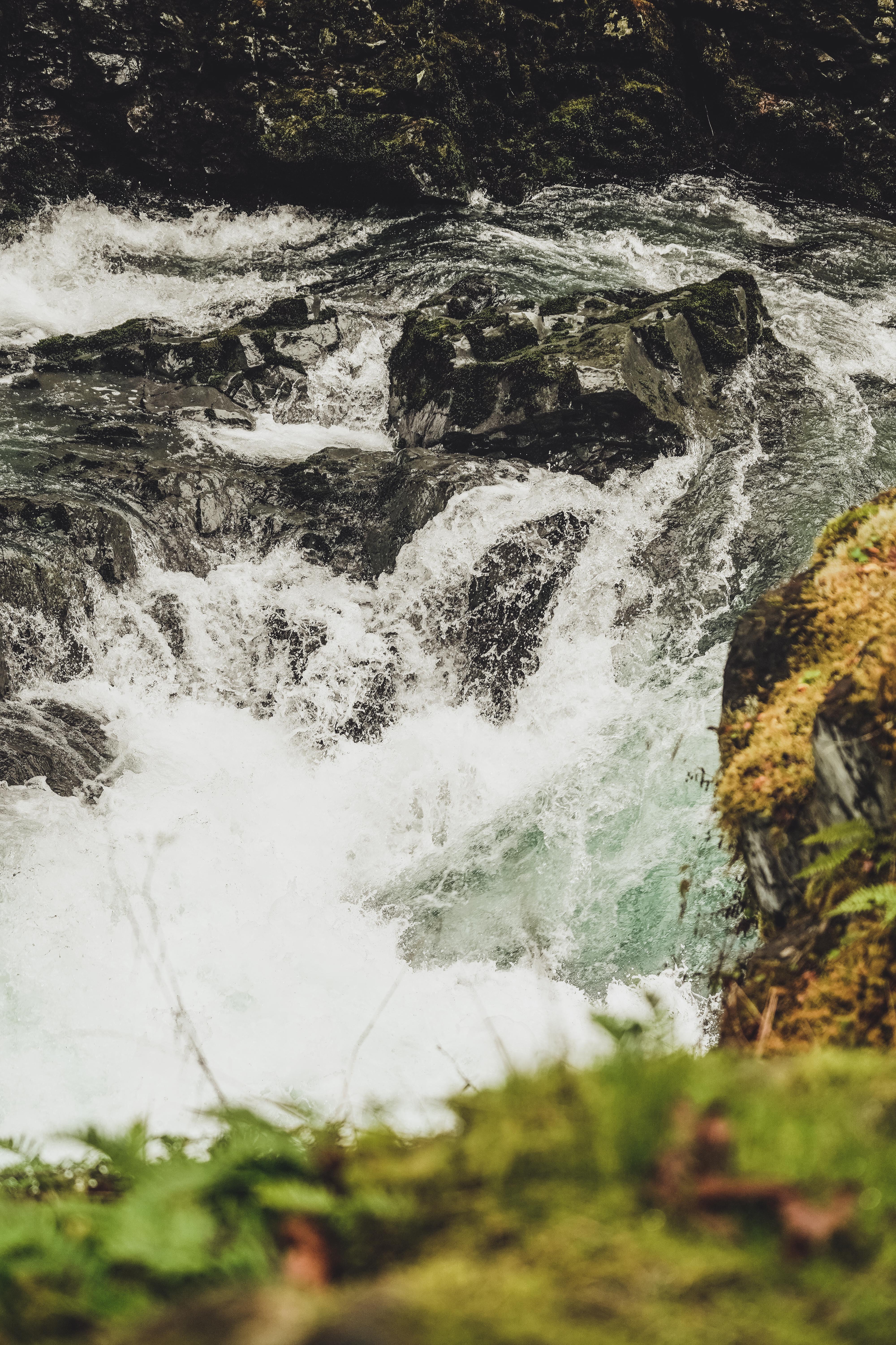
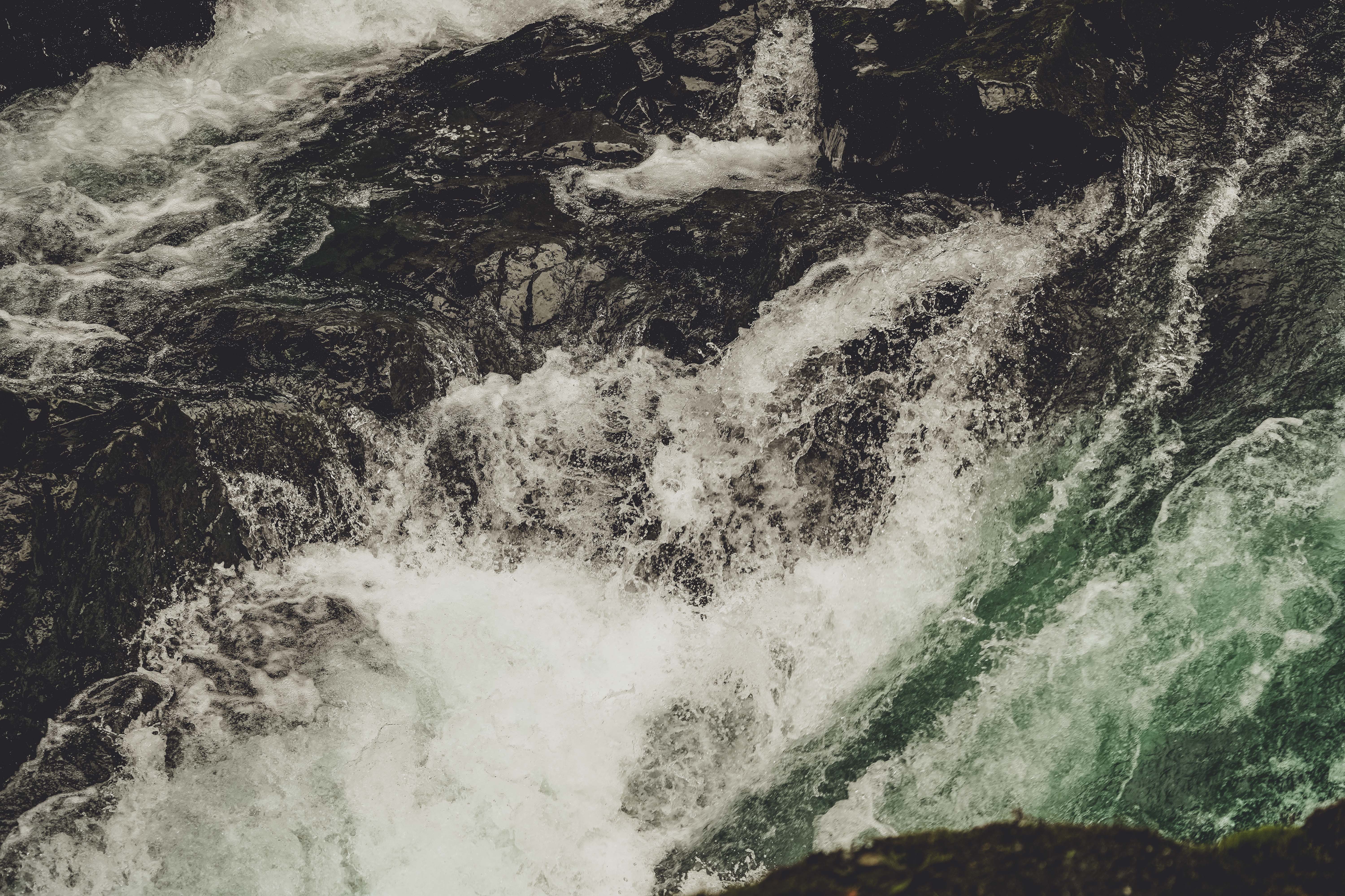
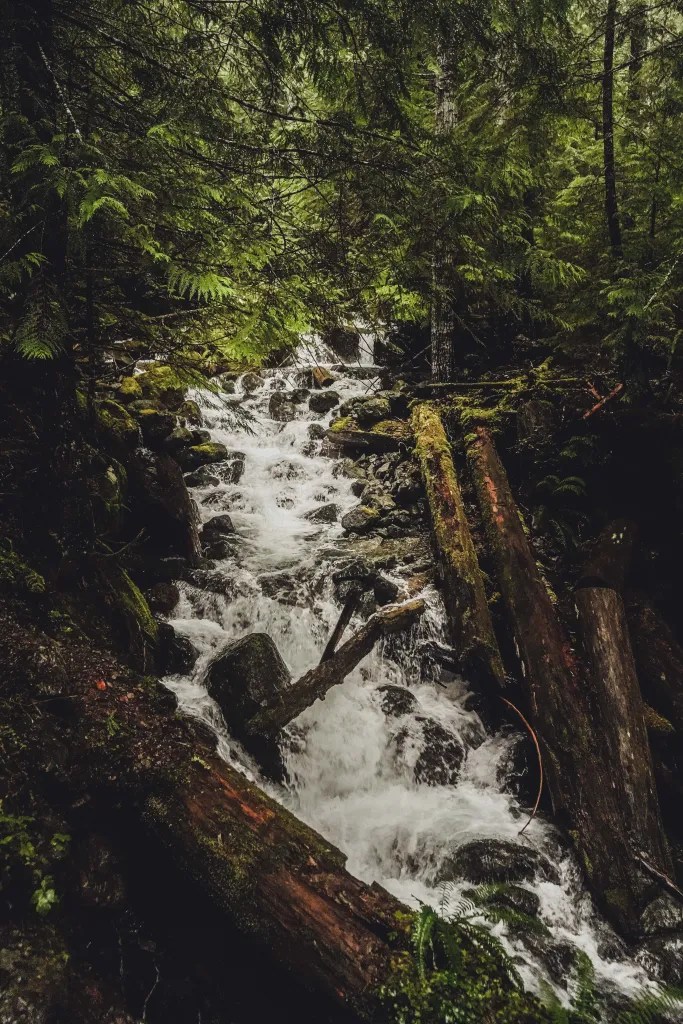
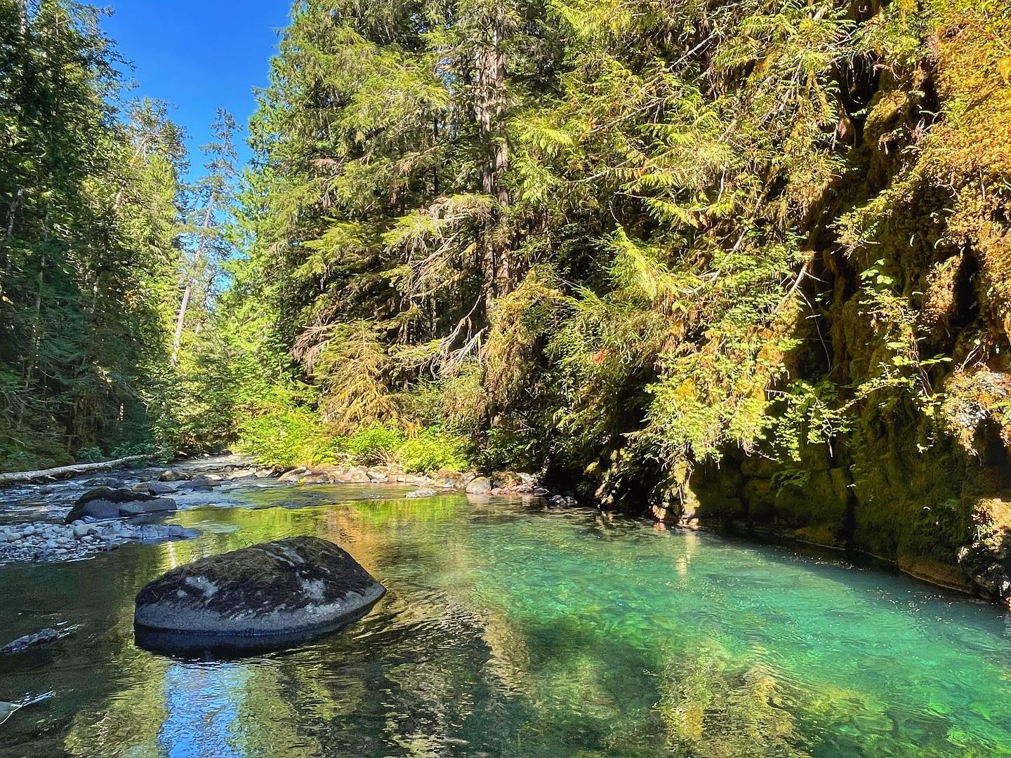
4: Ranger Hole, 1/17/2021 | 3 miles • 1 hour • 272 feet gain
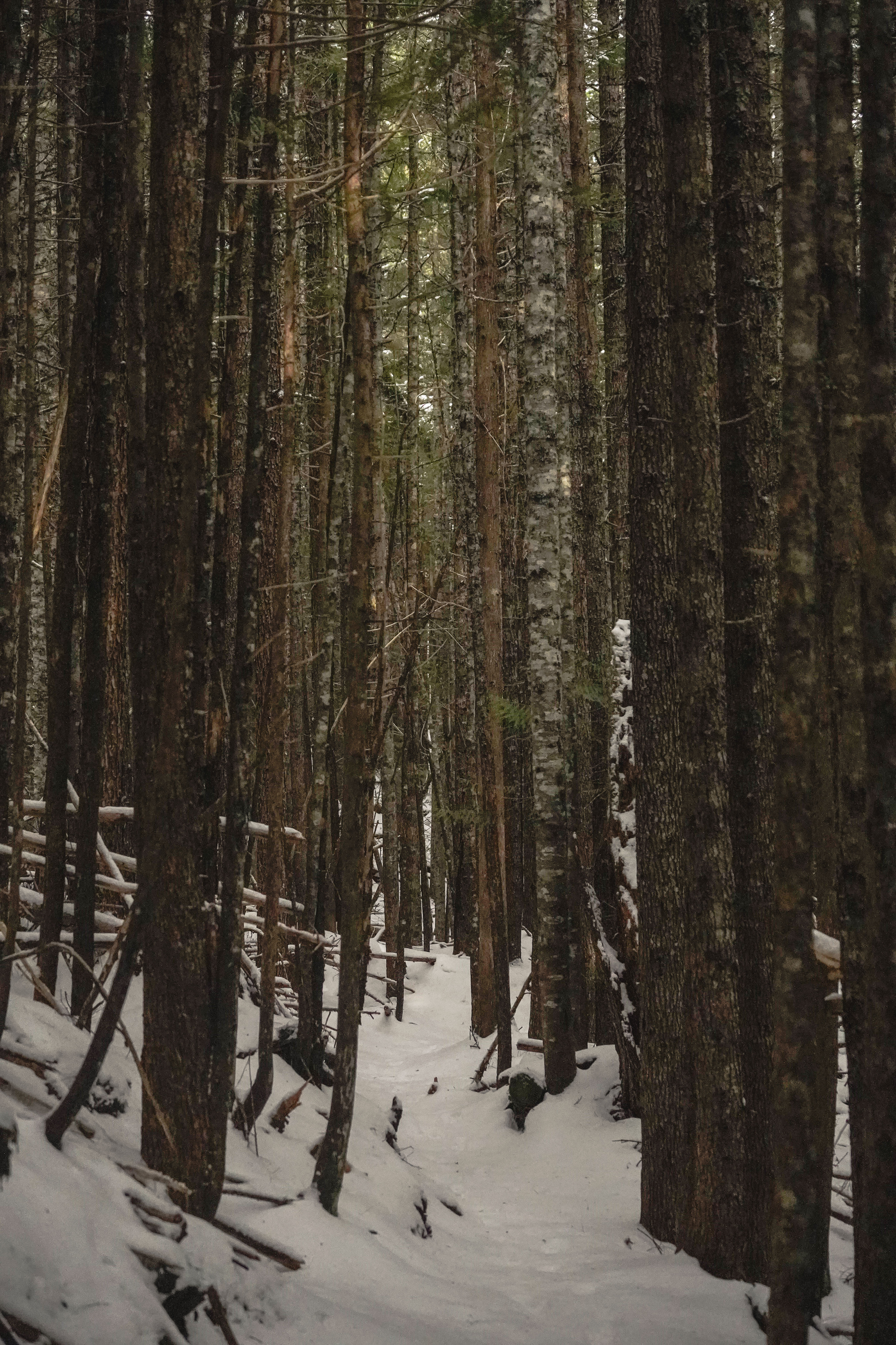
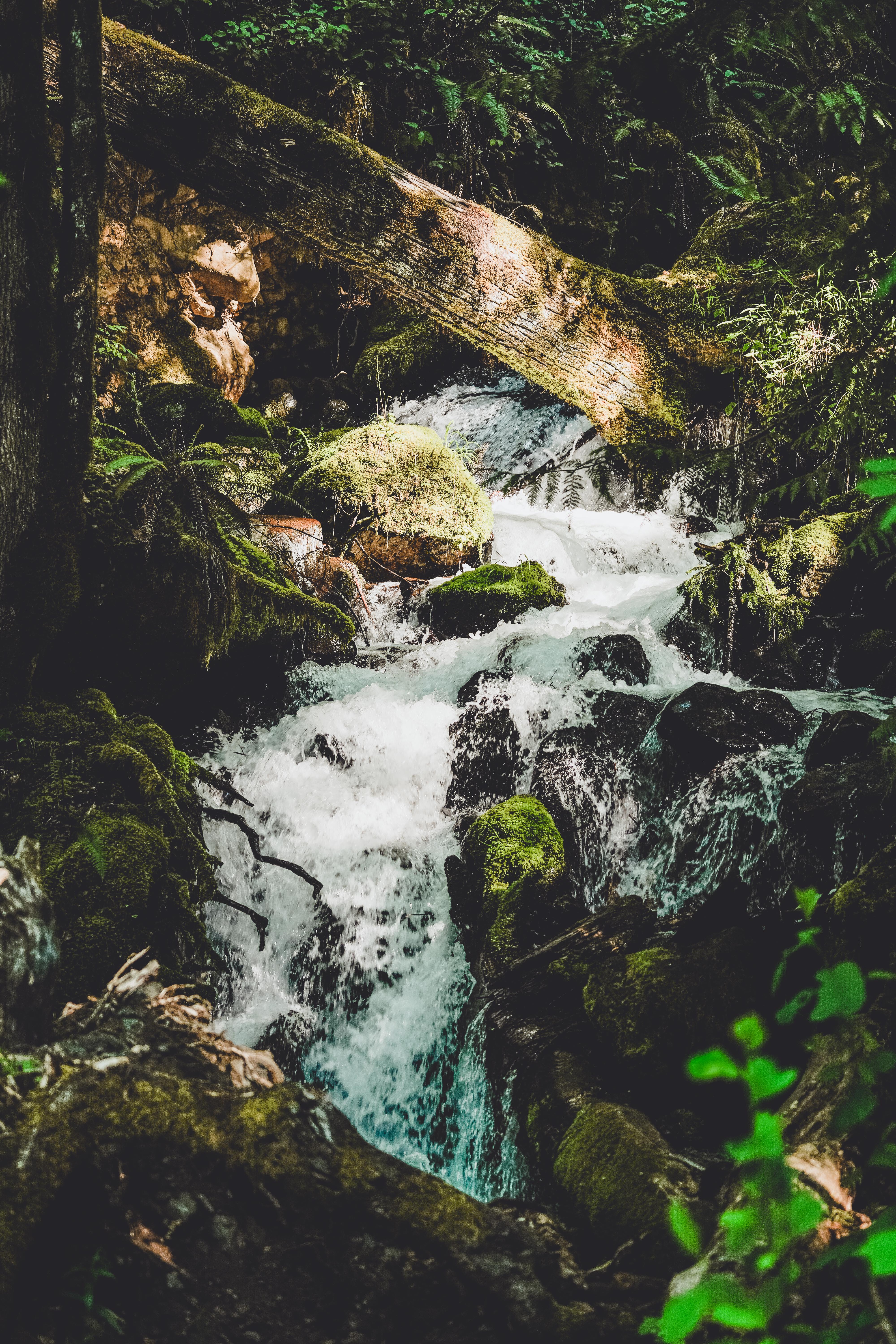
Completed with Dad. The same day as Mount Walker we made a pit stop at Ranger Hole, a hike I’d kept hearing about but never done! It’s really just a quick little detour to the Duckabush river through Jurassic Park rainforest, but the easy trail leads you to a great payoff with rushing rapids and rocky cliffs. 3 miles, a whopping 272 feet gain, 1 hour. You could probably spend quite a bit more time here exploring along the river and in the forest but we decided not to stick around too long.
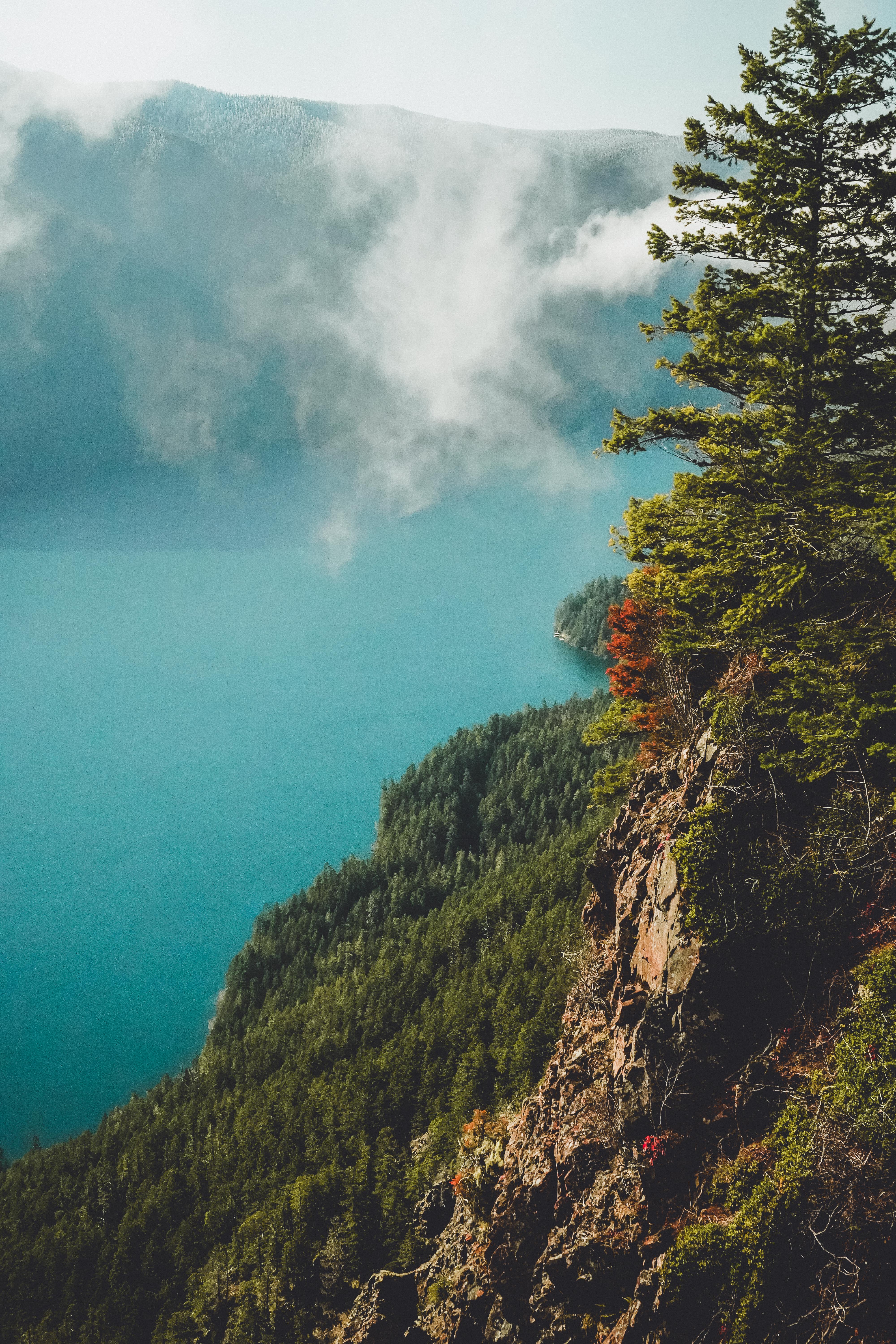
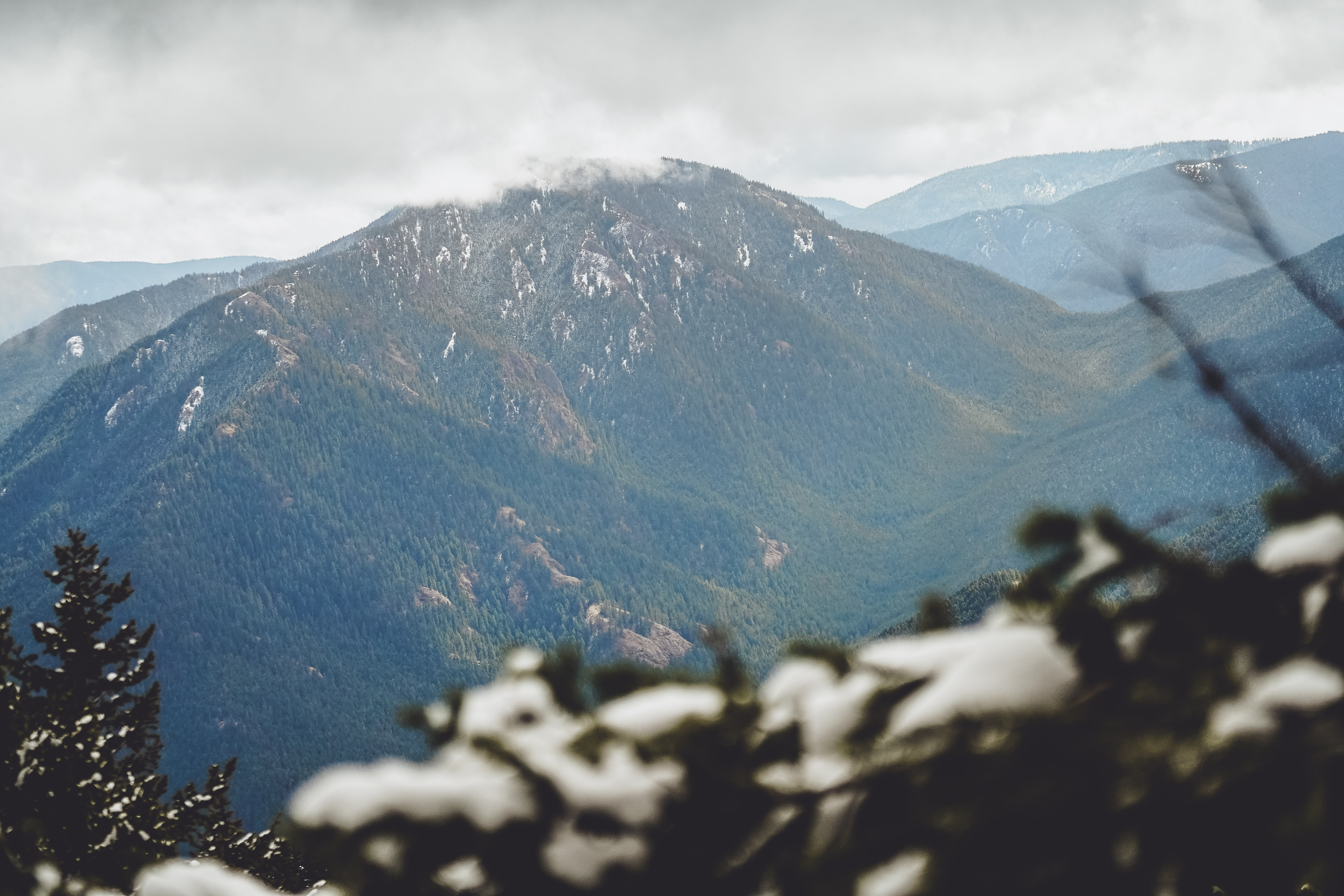
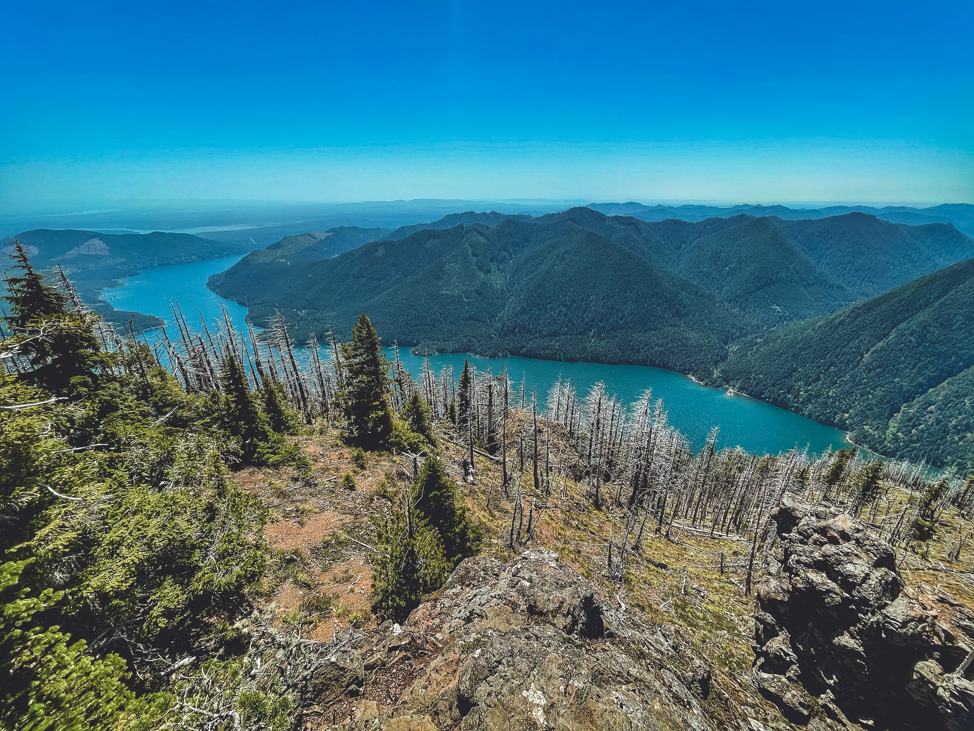
5: Pyramid Mountain, 1/22/2021 | 8.5 miles • 5 hours • 2,700 feet gain
Completed with Dad. We enjoyed a beautiful, crisp sunny day above Lake Crescent on Pyramid Mountain Trail. There were several stream crossings that required creative footwork, and a few downed tree tunnels to climb through. The top half of the trail was like an episode of American Ninja Warrior, with storm debris transforming the trail into an obstacle course. There was a landslide to traverse, plus countless trees to go over, under, and around, and wind-blown ice coating the trees along the upper trail. It sounds dramatic, but everything was safe, if somewhat slow going. However, we were yet again thwarted by fog at the summit. Overall it was a great hike.
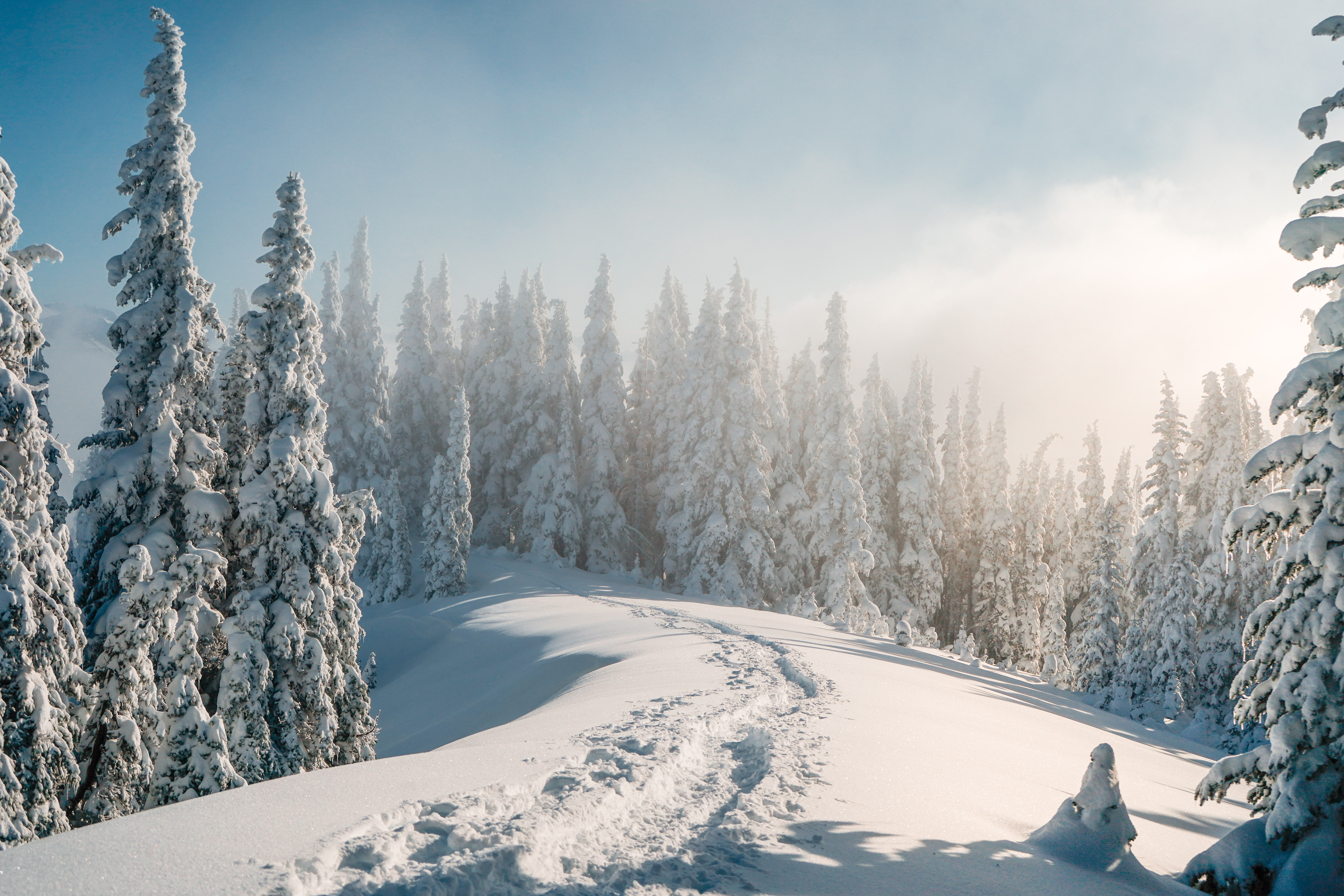
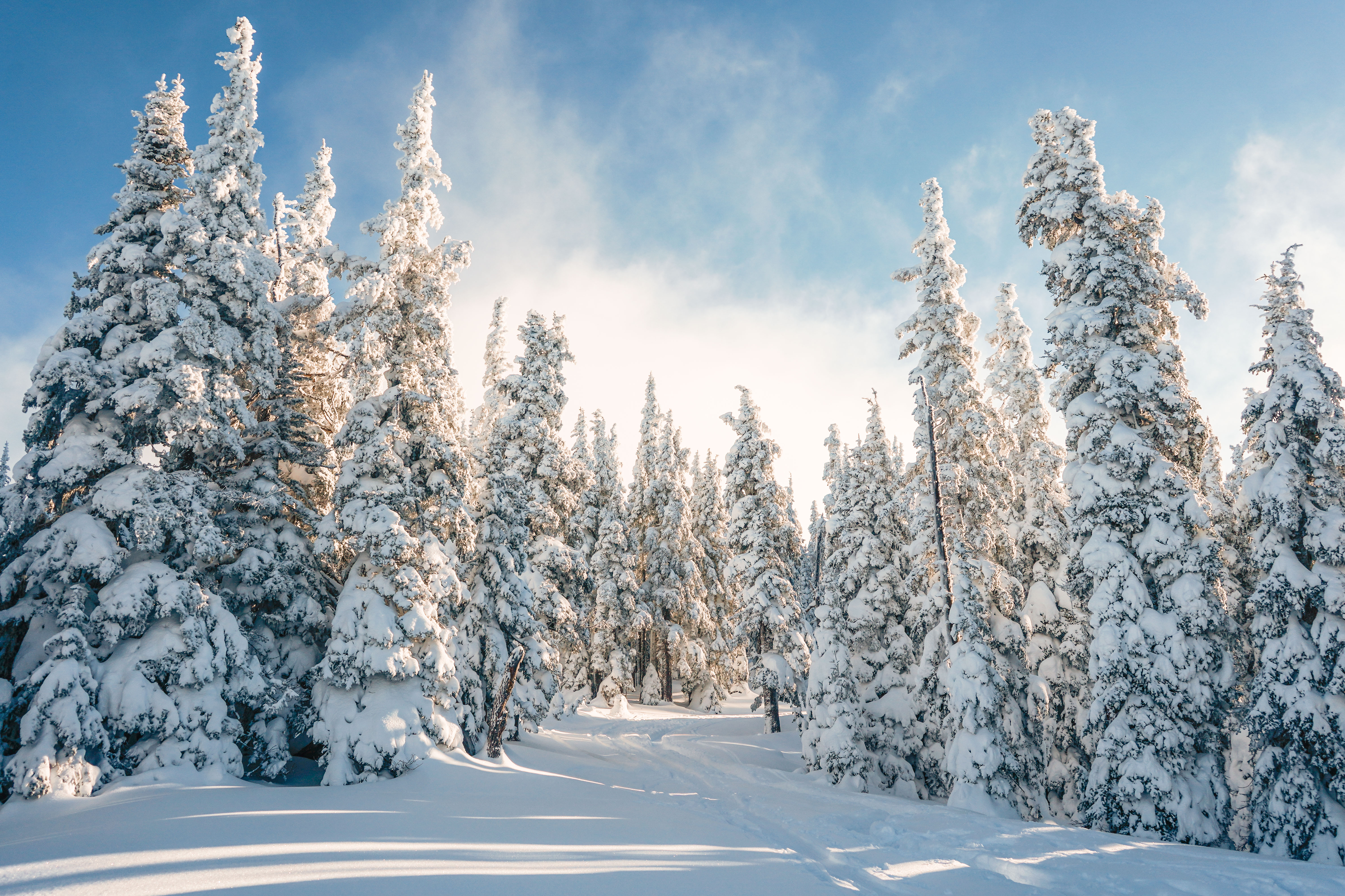
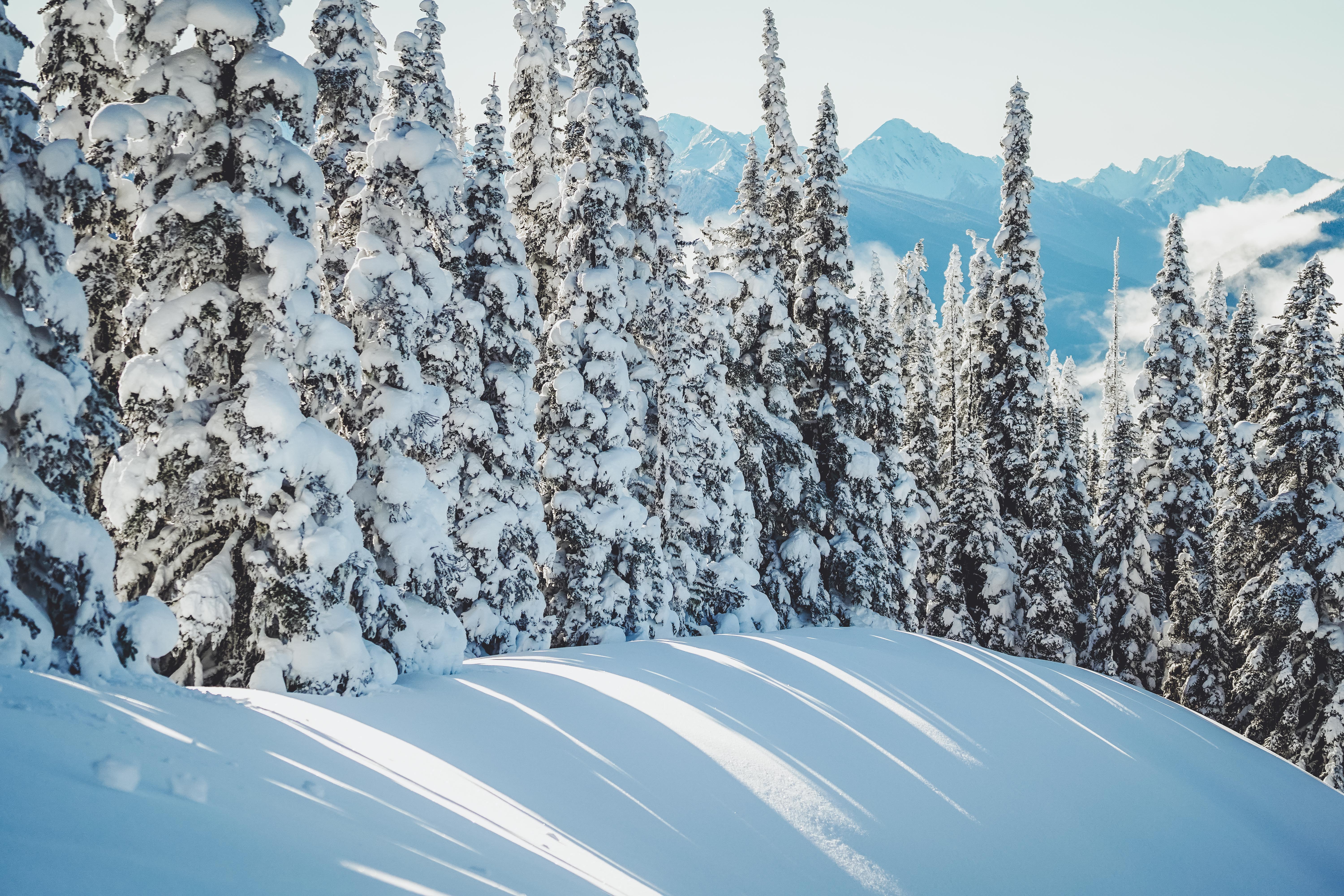
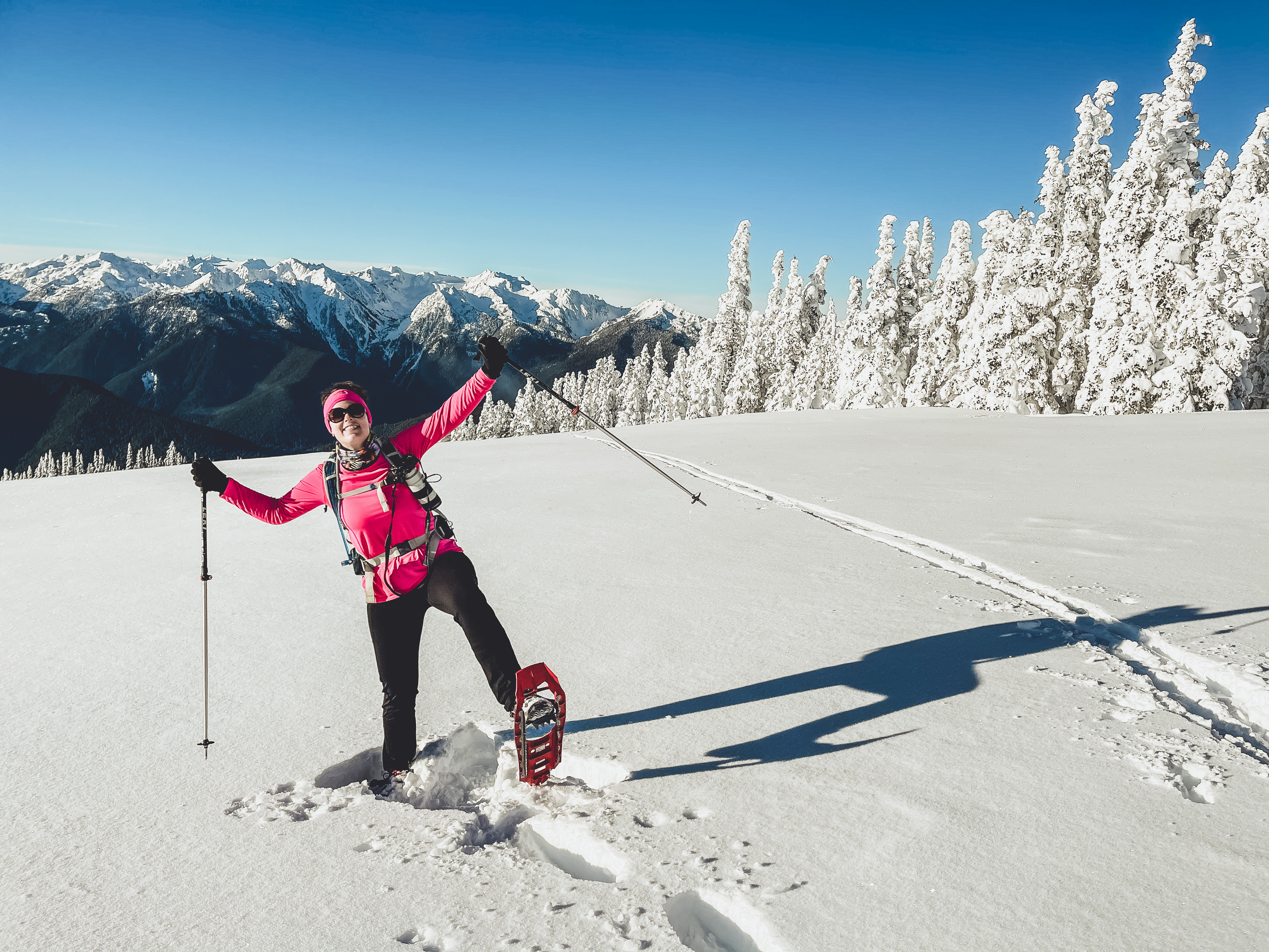
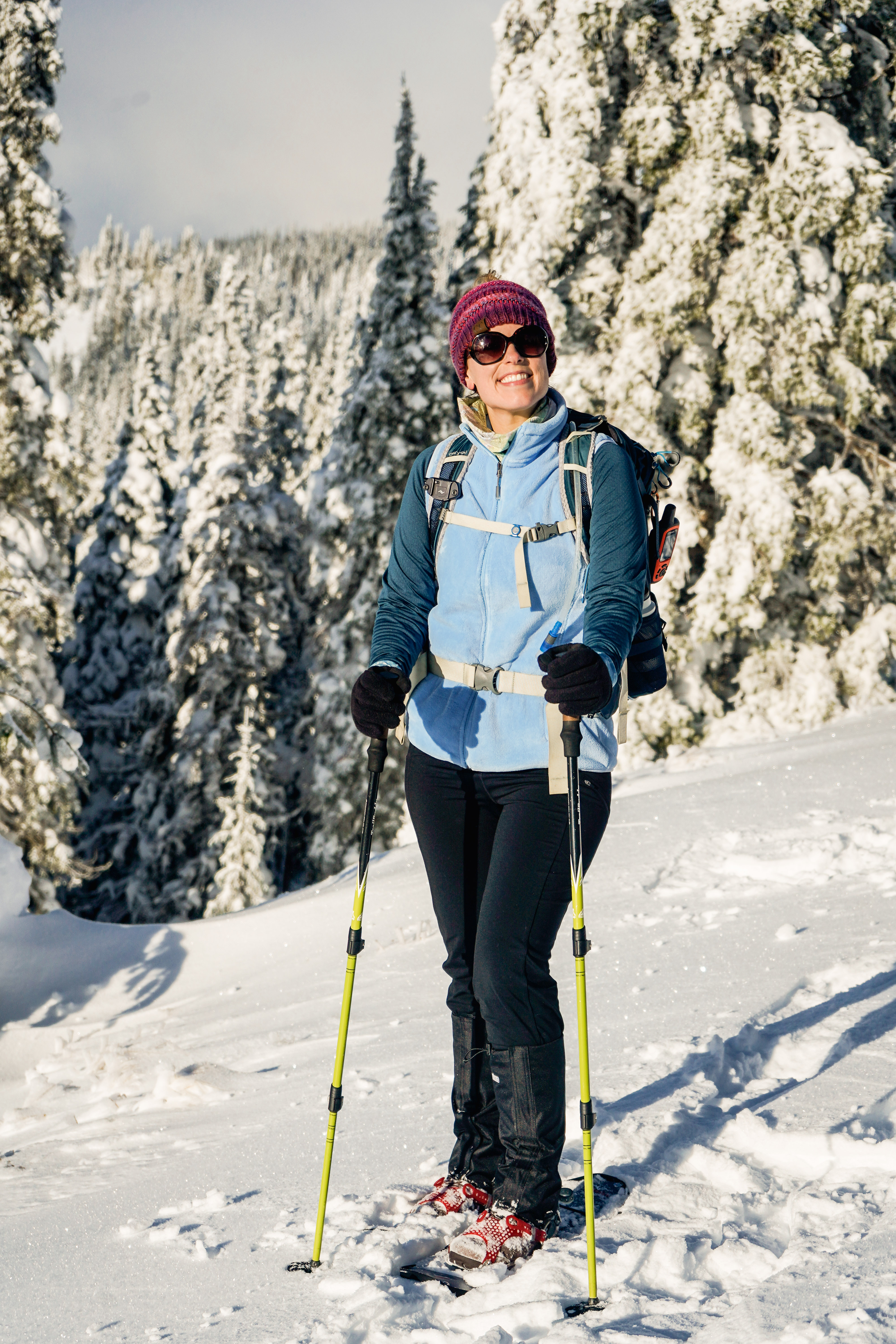
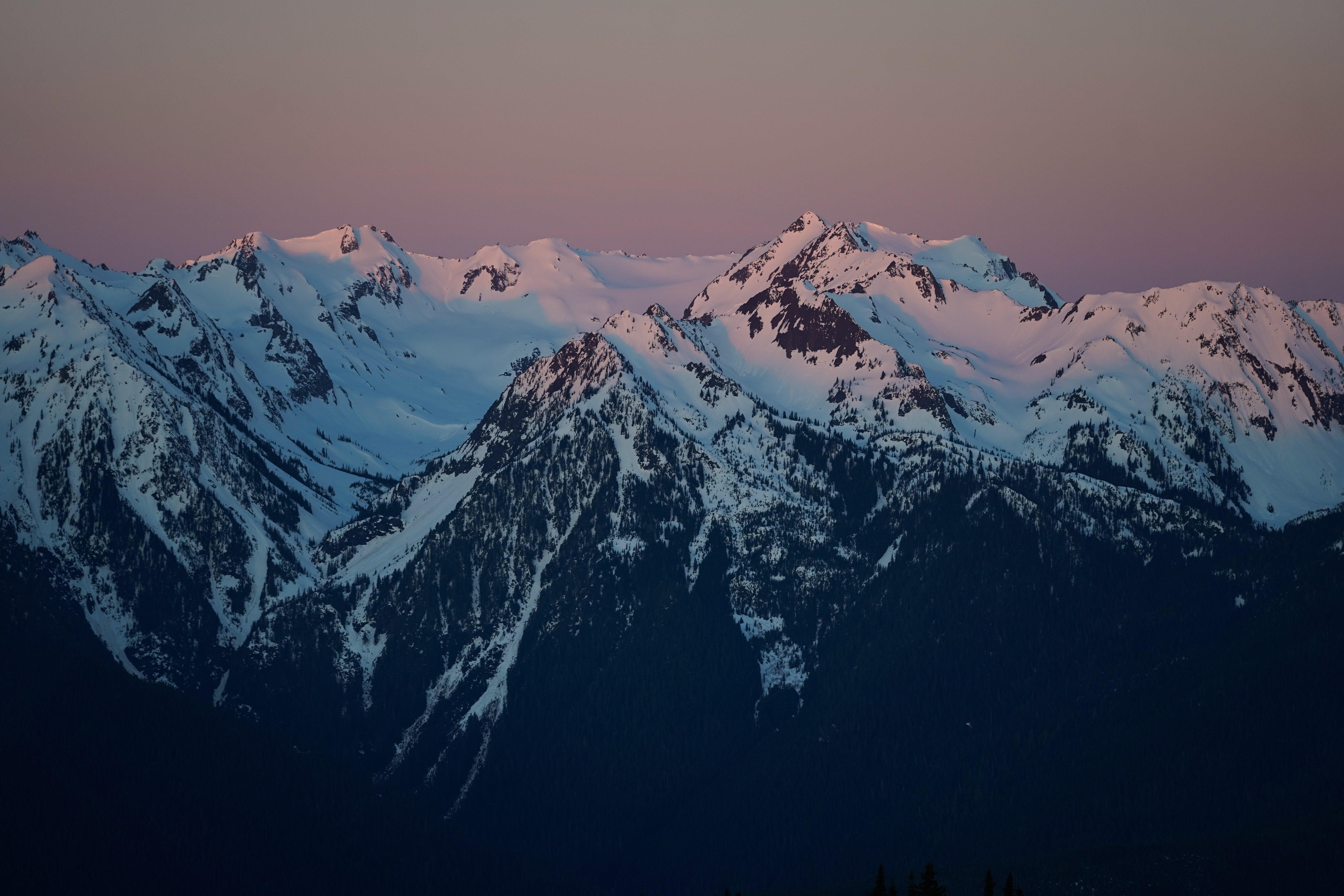
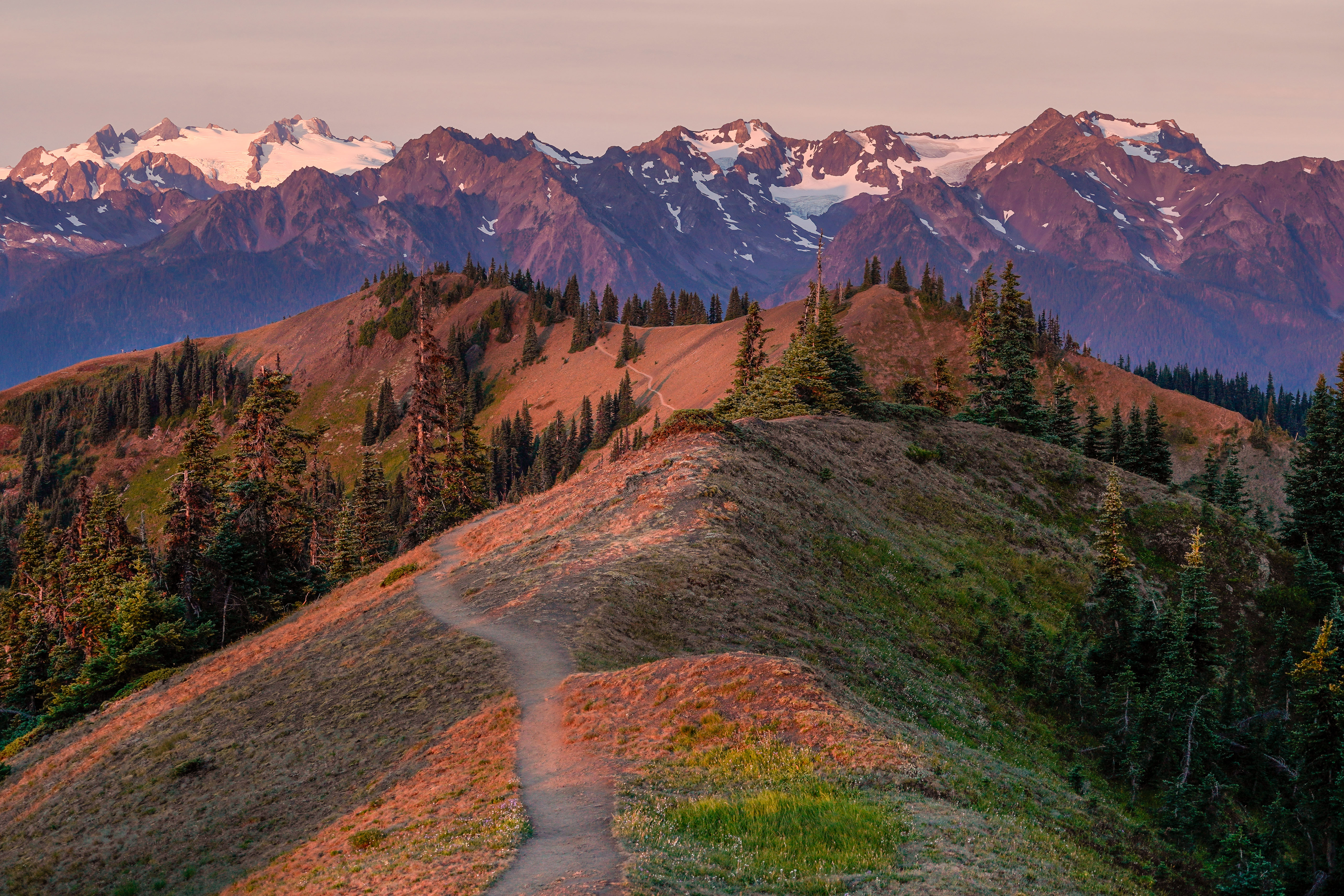
6 & 24: Hurricane Hill, 1/31 & 12/19/2021 | 7.5 miles • 4.5 hours • 1,500 feet gain
Dad and I rounded out a busy January by trying snowshoeing for the first time and it was incredible! The weather was perfect and our tour guide Tommy with Olympic Hiking Co. was great. We started at the Hurricane Ridge Visitor’s Center and hiked about 7.3 miles round trip to Hurricane Hill and back. It took us about 4.5 hours, including innumerable photo stops and our sandwich break at the summit. I only measured 1,500 feet gain but my legs definitely felt it. We returned again in December for our first real taste of winter after a damp and dreary autumn. The powder was fresh and the sun was shining almost all day. We once again enjoyed a snack at the summit but the air was biting and finger-freezing cold so we didn’t loiter up top.
7: Mount Zion, via Deadfall 2/27/2021 | 8 miles • 5 hours • 2,700 feet gain
Completed with Dad. We hiked this snowy trail through Olympic National Forest to the 4,278-foot summit of Mount Zion, about 10 miles northwest of Quilcene, above Lords Lake. Trail is about 8 miles out and back with a total elevation gain of about 2,700 feet. Took us exactly 5 hours, including a 30-minute lunch break at the top. I also have the rare distinction of being the first person to summit Mt. Zion…that day. This was a bit of a rough go with fresh snow and we probably could have used snowshoes for the majority of the hike but alas, all we had were our microspikes.
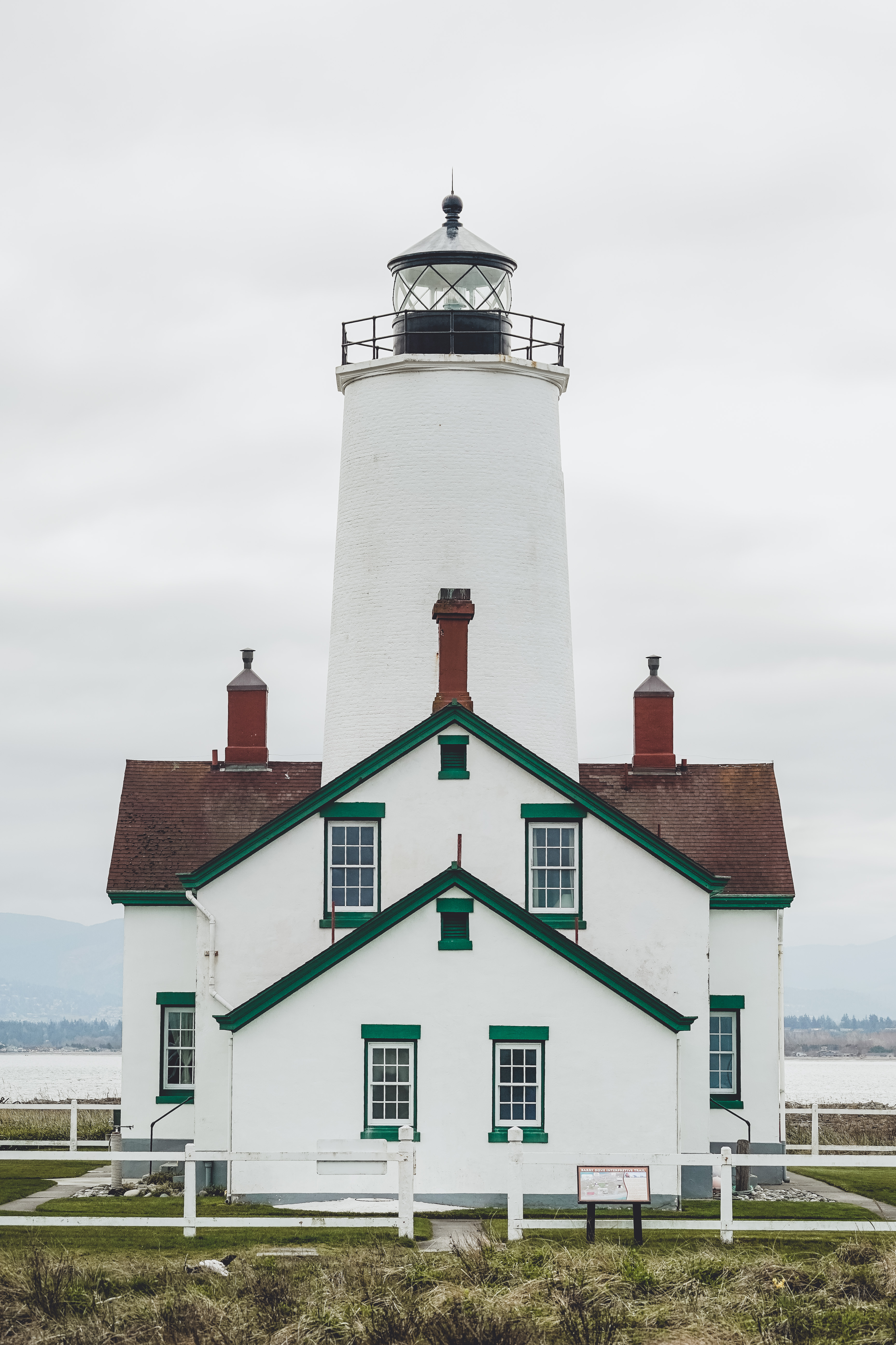
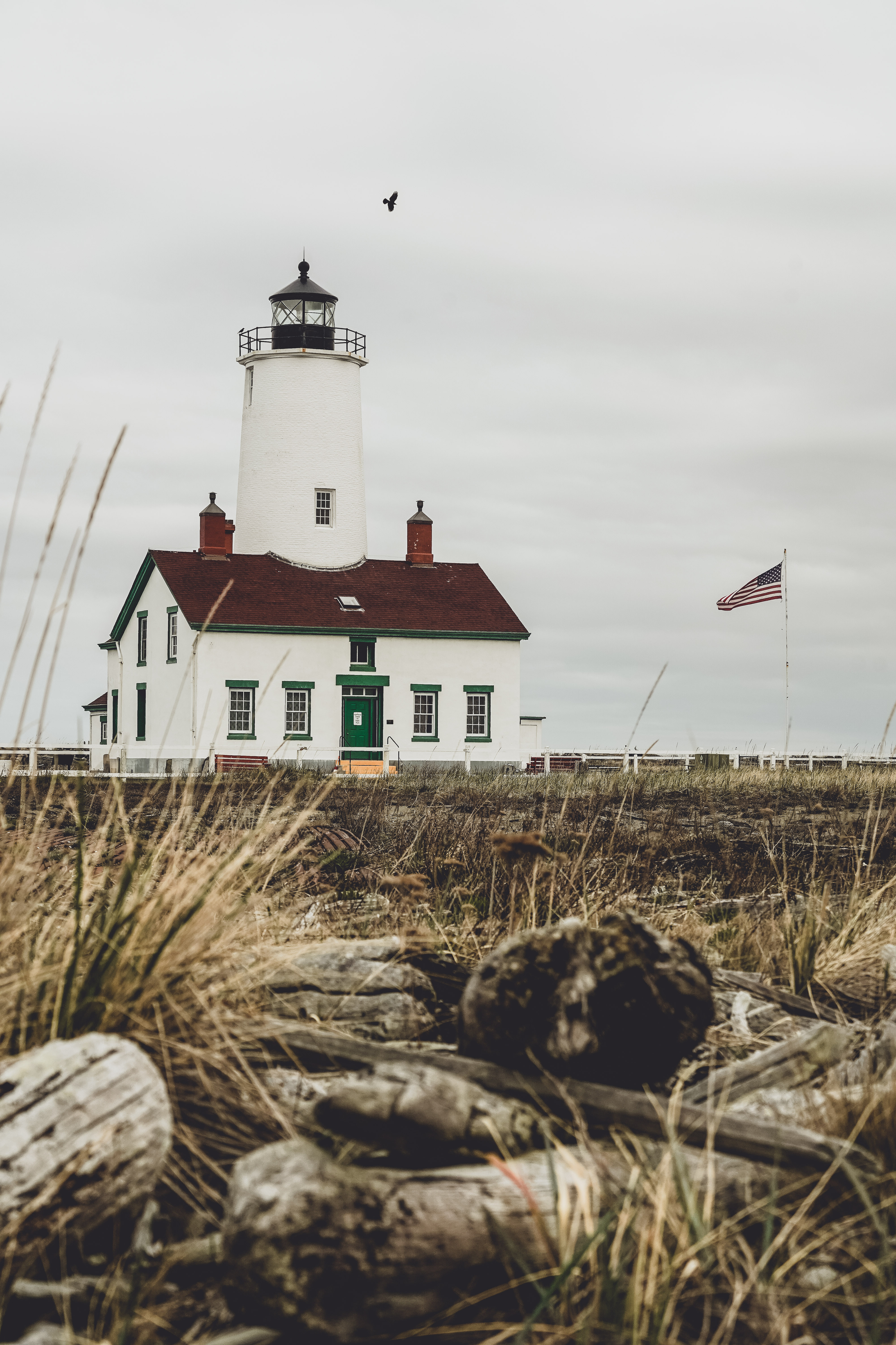
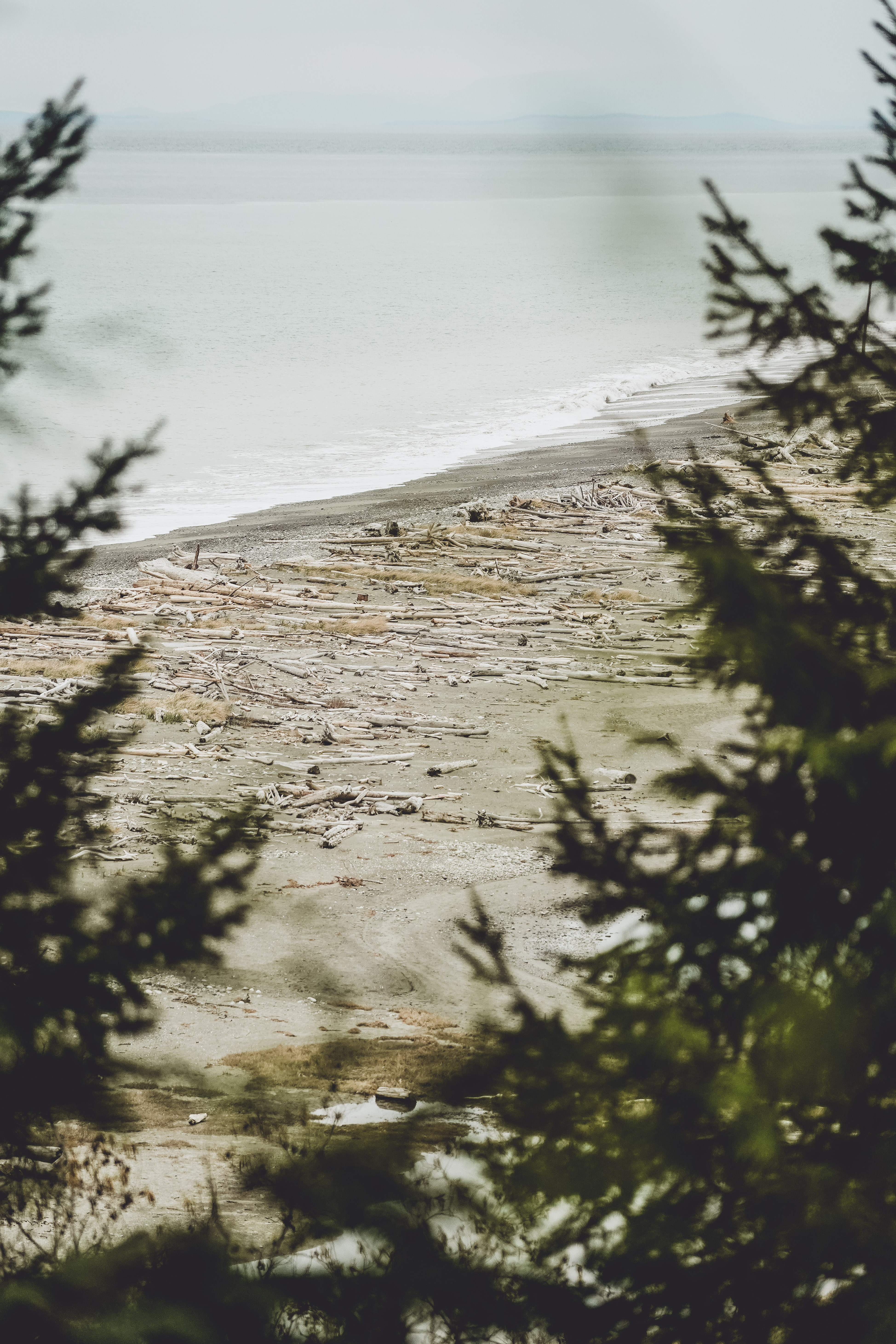
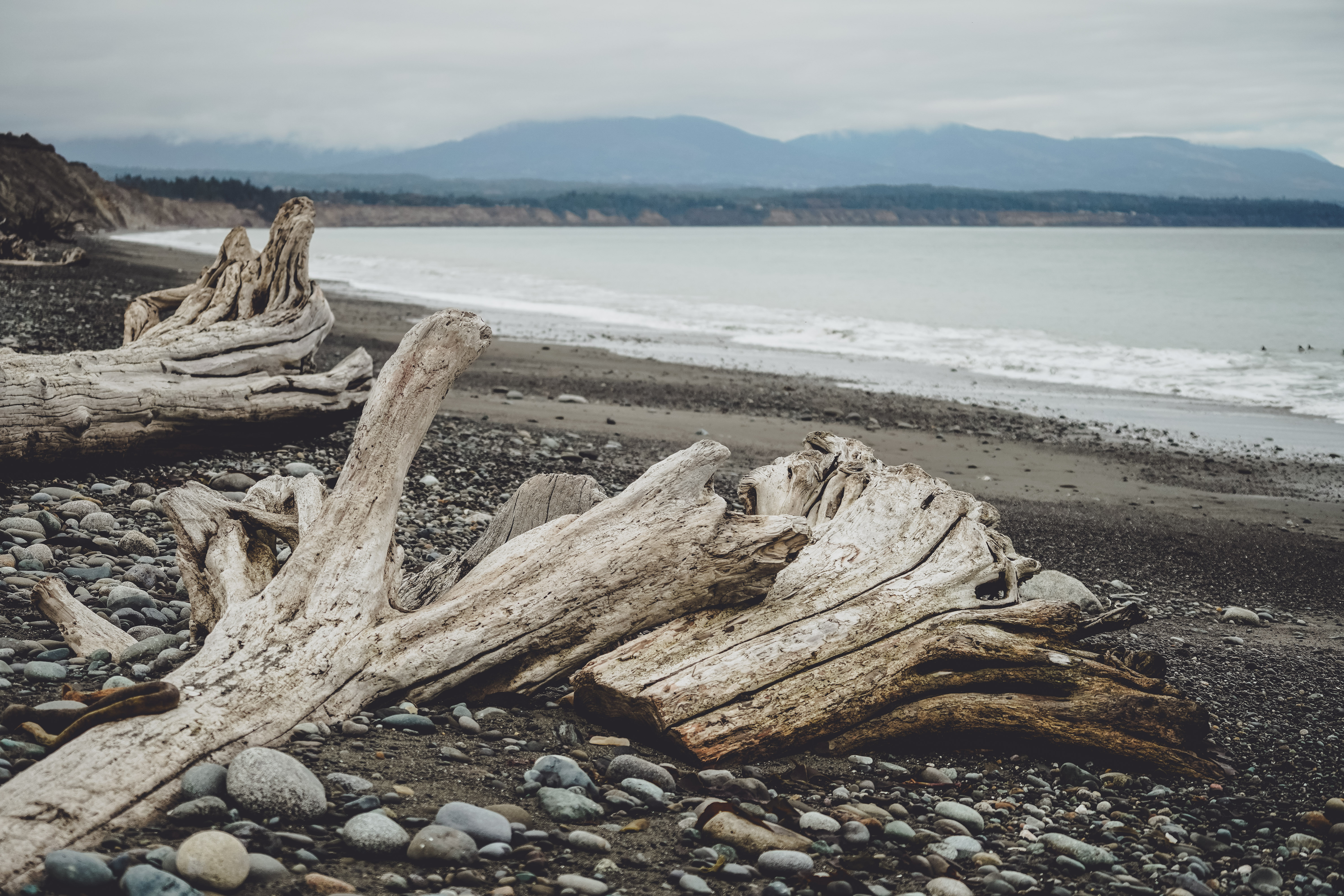
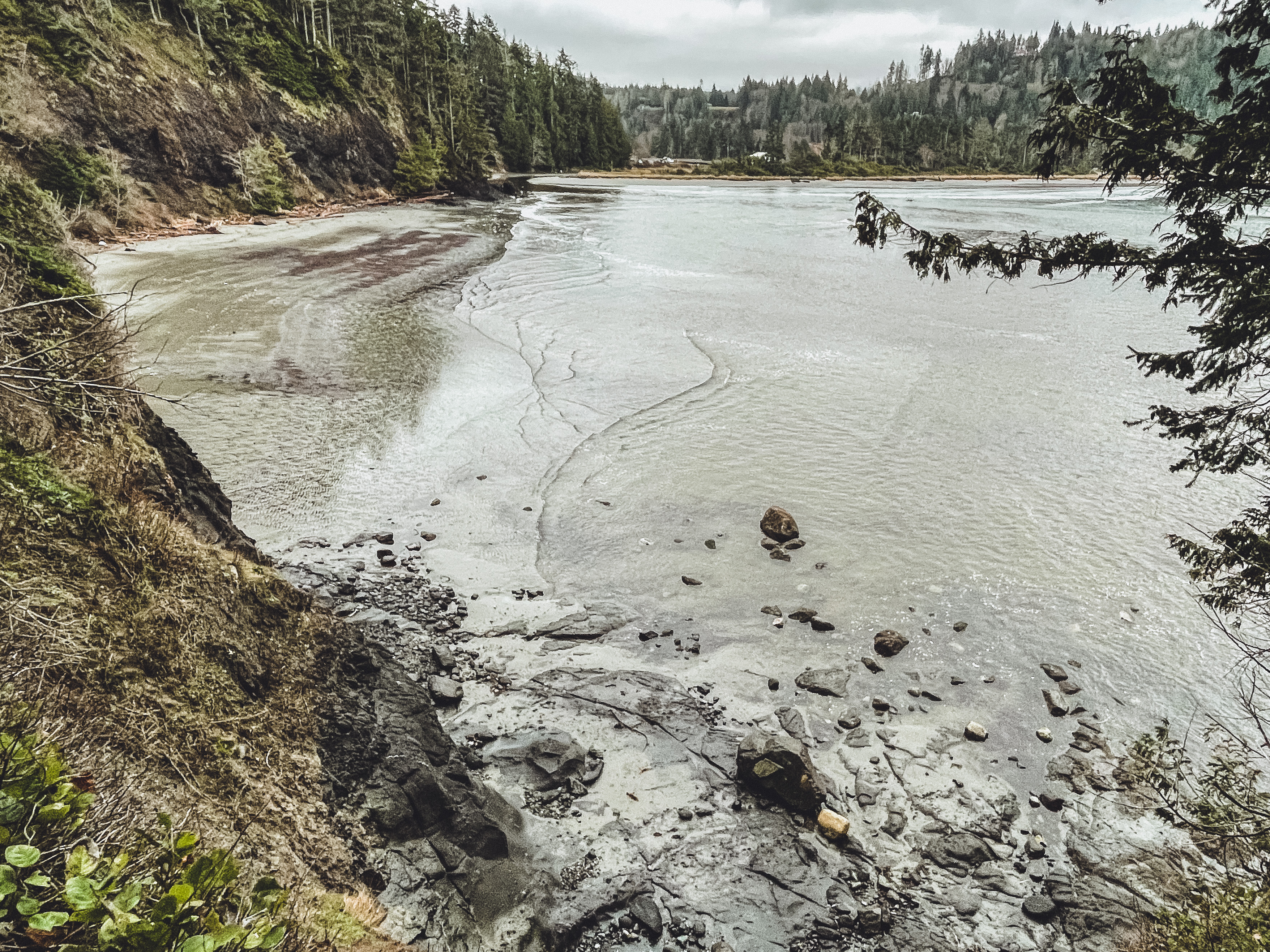
8: Dungeness Spit, 4/2/2021 | 11 miles • 4.5 hours • 200 feet gain
Completed with Dad. After a month without hiking we visited Dungeness Spit for the first time at the beginning of April. We walked about 11 miles out to the lighthouse and back. The spit doesn’t look like it’s 5 miles long but after the first 30 minutes of sand, rocks and driftwood, it feels a little endless, and there’s not much else to look at, unless you’re into birdwatching. To be fair, there are views of the Olympics, and you can see over to Canada and up to the San Juan Islands. We occupied most of the walk looking for colorful rocks and sea glass, and I did make friends with a harbor seal off shore, who kept popping his head up to watch us.
9: Deer Ridge, 4/11/2021 | 9 miles • 5 hours • 2,700 feet gain
Completed with Dad. In mid-April we went up Deer Ridge and experienced a little bit of everything – sun, fog and snow. Thankfully no rain though. We made it about 4.7 miles up before deciding to throw in the towel after trailblazing through knee-deep powder for more than an hour with only our microspikes. Again – snowshoes probably would have helped. All told, we clocked about 9 miles in 5 hours with about 2700 feet gain.
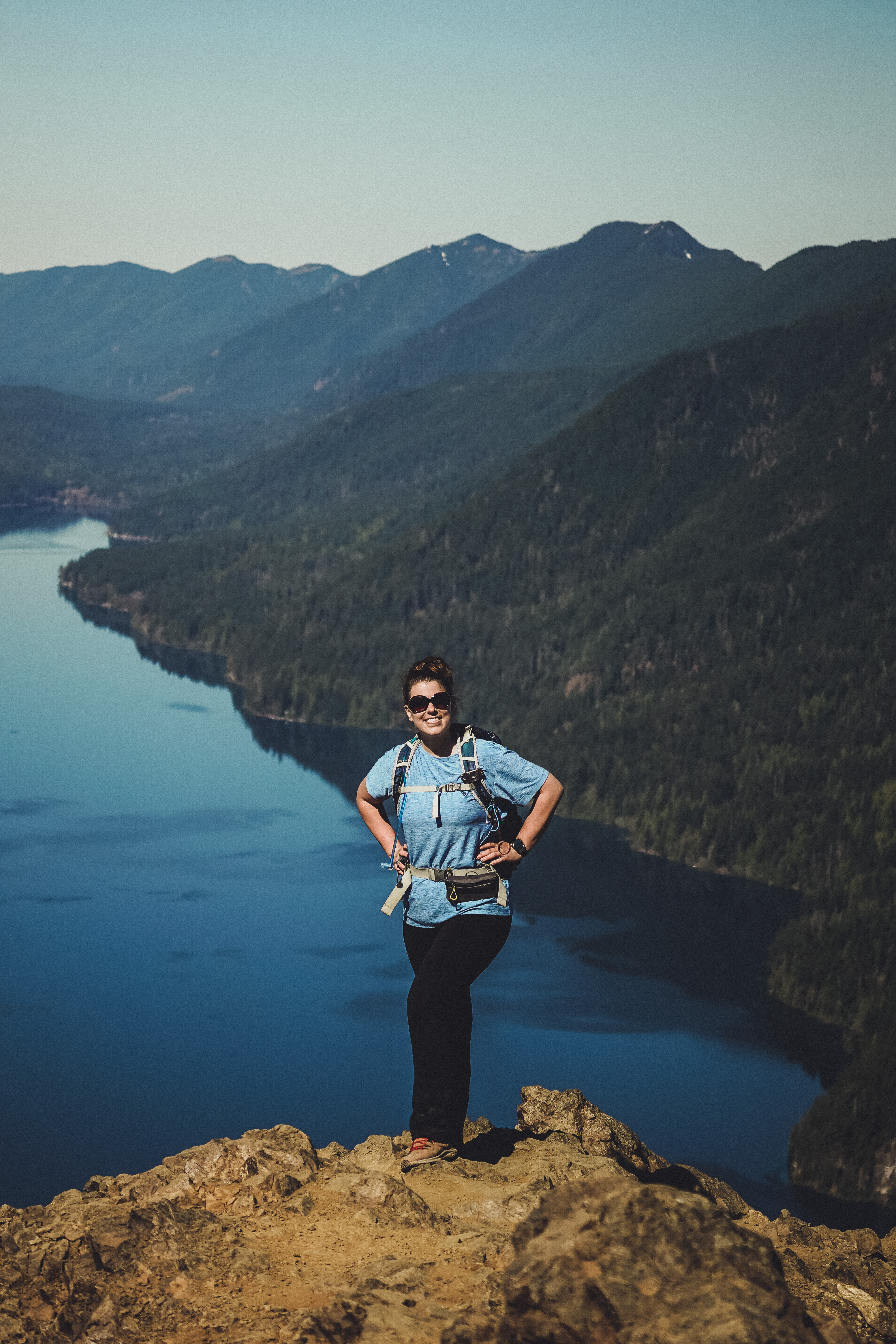
10: Mount Storm King, 4/20/2021 | 5 miles • 1.5 hours • 2,100 feet gain
Completed with Dad. Possibly my favorite birthday yet!! Woke up at 3:30 to celebrate my 32nd birthday and drove out to Hurricane Ridge to enjoy a quiet sunrise, just me and the mountains. After that, headed to Lake Crescent for a sunny day summit of my #1 favorite bun burner, Mount Storm King. We made it up in 1.5 hours, my quickest time yet!
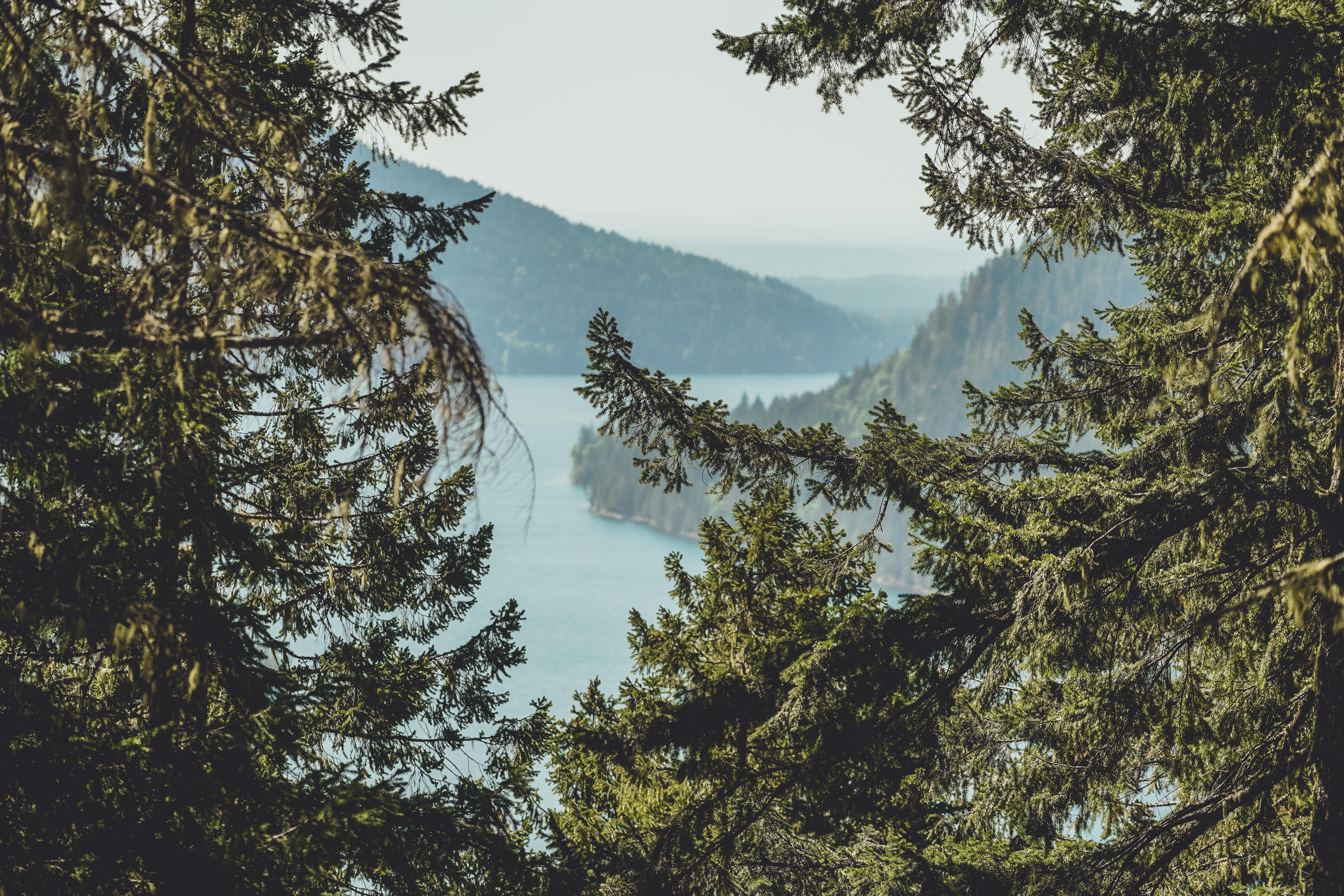
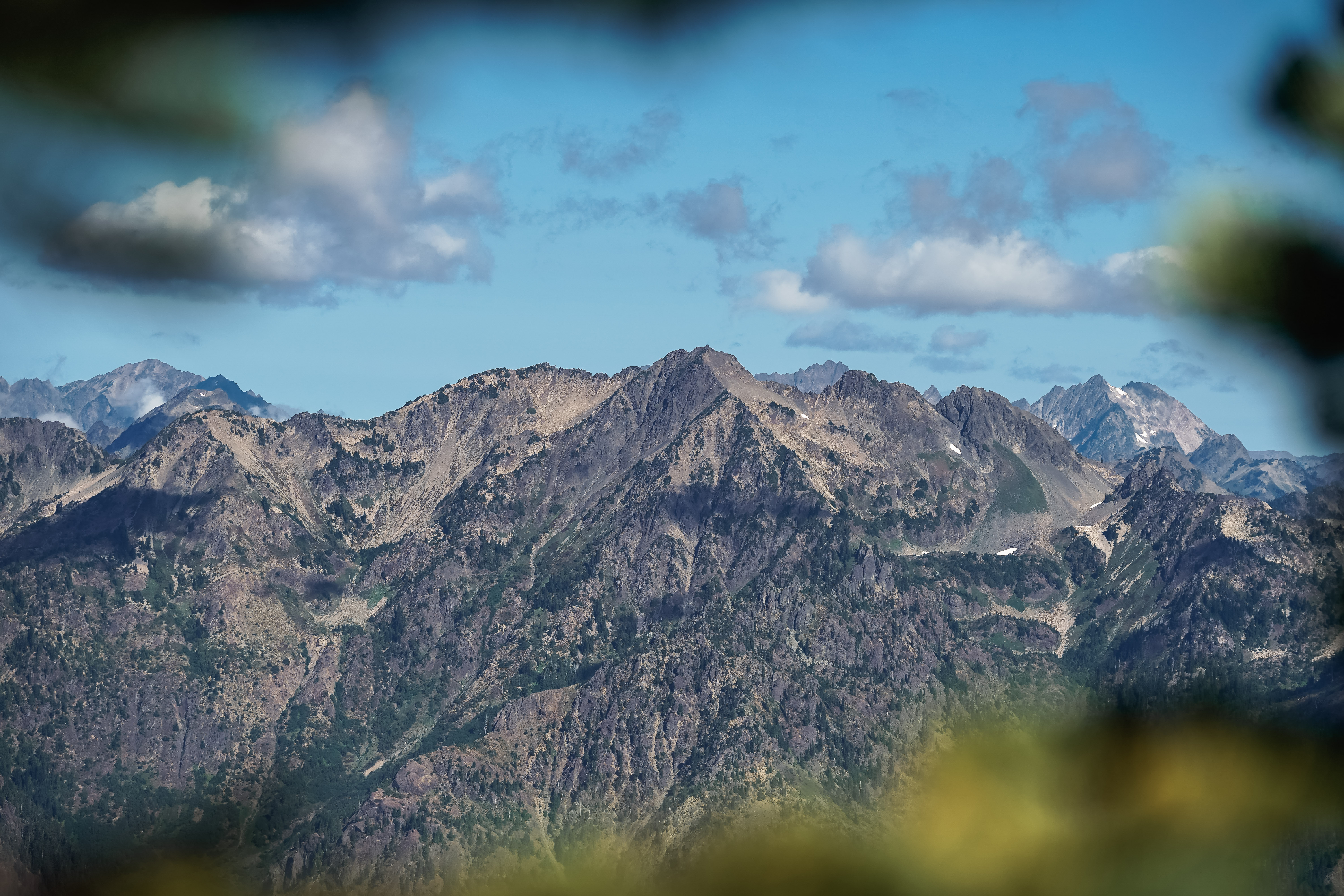
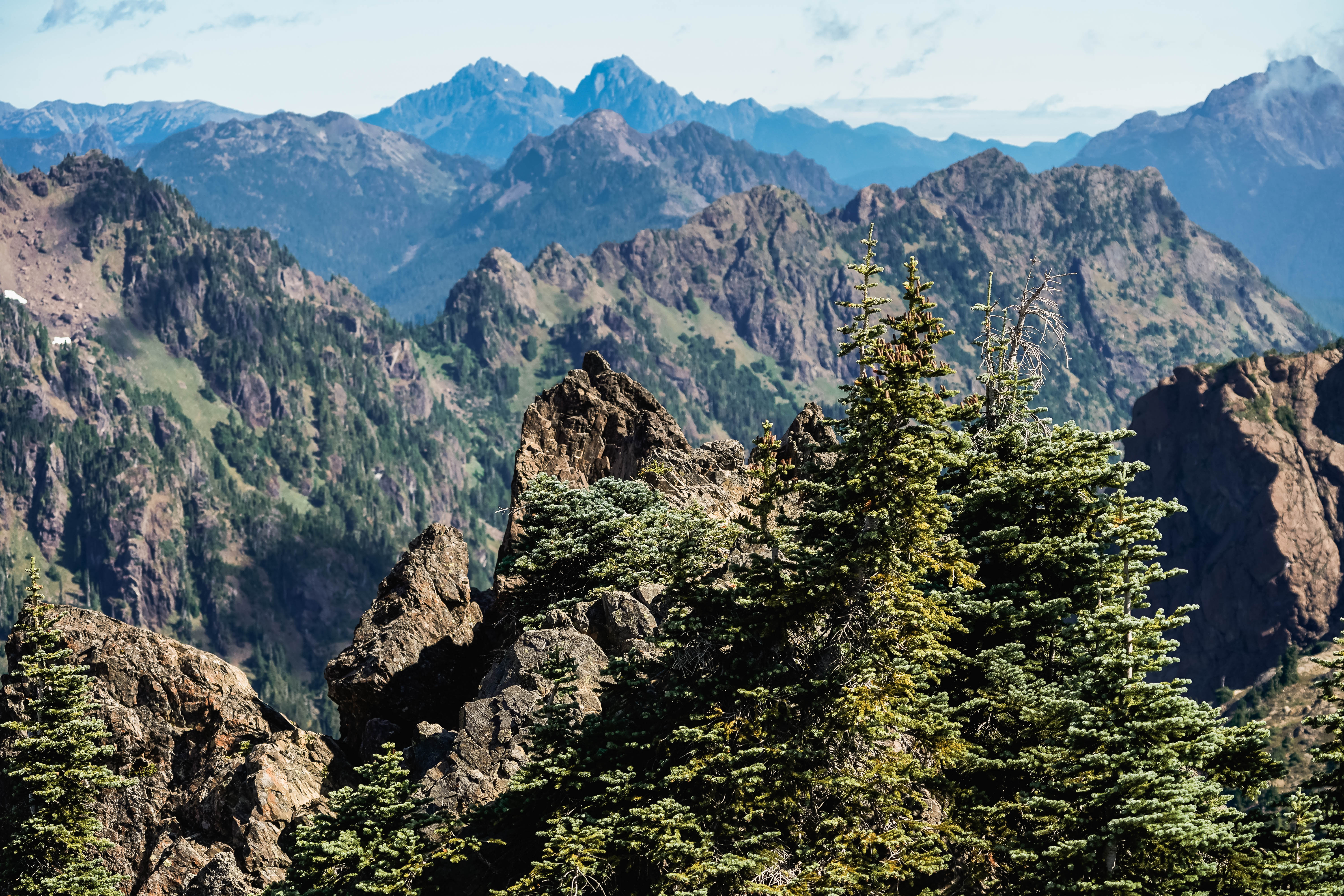
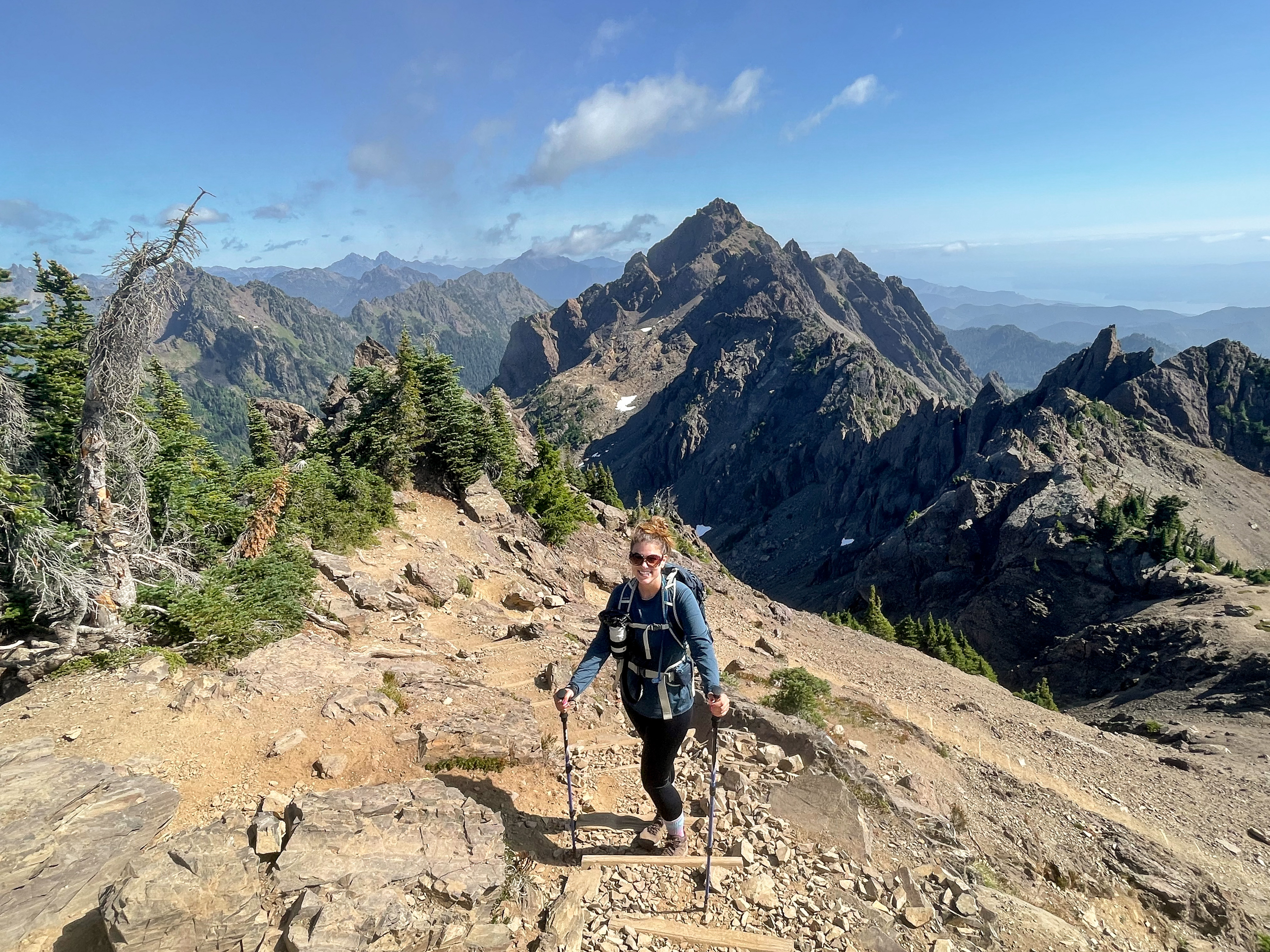
11: Mount Rose, 5/16/2021 | 9 miles • 6.5 hours • 3,500 feet gain
Completed with Dad. All the maps indicate the trail is between 5.8 and 6.2 miles, but my Apple Watch and AllTrails navigator both clocked 9.5 miles so I’m not sure what happened. Based on the map mileage and not my GPS trackers, we gained about 1,200 feet per mile during the first 3 miles, 3,500 feet total gain, with a lovely view over Lake Cushman at the top, and peek-a-boo views of Mt. Ellinor. We could also see Mt. Rainier, Mt. Adams and Mt. St. Helens through the haze. Whether it was 6.2 miles or 9.5 miles…it took us 6.5 hours. This trail really felt like it would never end. The snow was half-melted, slippery, icy and crunchy and we were alternating between post-holing and sliding around and trying to avoid snow bridges. If I do this one again it will be in the dead of winter or middle of summer. But at least it was a beautiful day!
12: Lower Big Quilcene, 6/26/2021 | 3 miles
Completed with Mike, Jon, Rae and Dibs. During the PNW heatwave, we attempted to escape the 100 degree, record-breaking temperatures by venturing into the woods with new friends. We started at the Lower Big Quilcene trailhead in the morning and meandered down to Bark Shanty campsite along the Big Quilcene River. The air was almost 30 degrees cooler by the water and in the shade of the trees and we just sat there for a few hours, enjoying Mother Nature’s air conditioning. We decided to head back in the mid-afternoon but I’ll remember this spot next time we need to beat the heat.
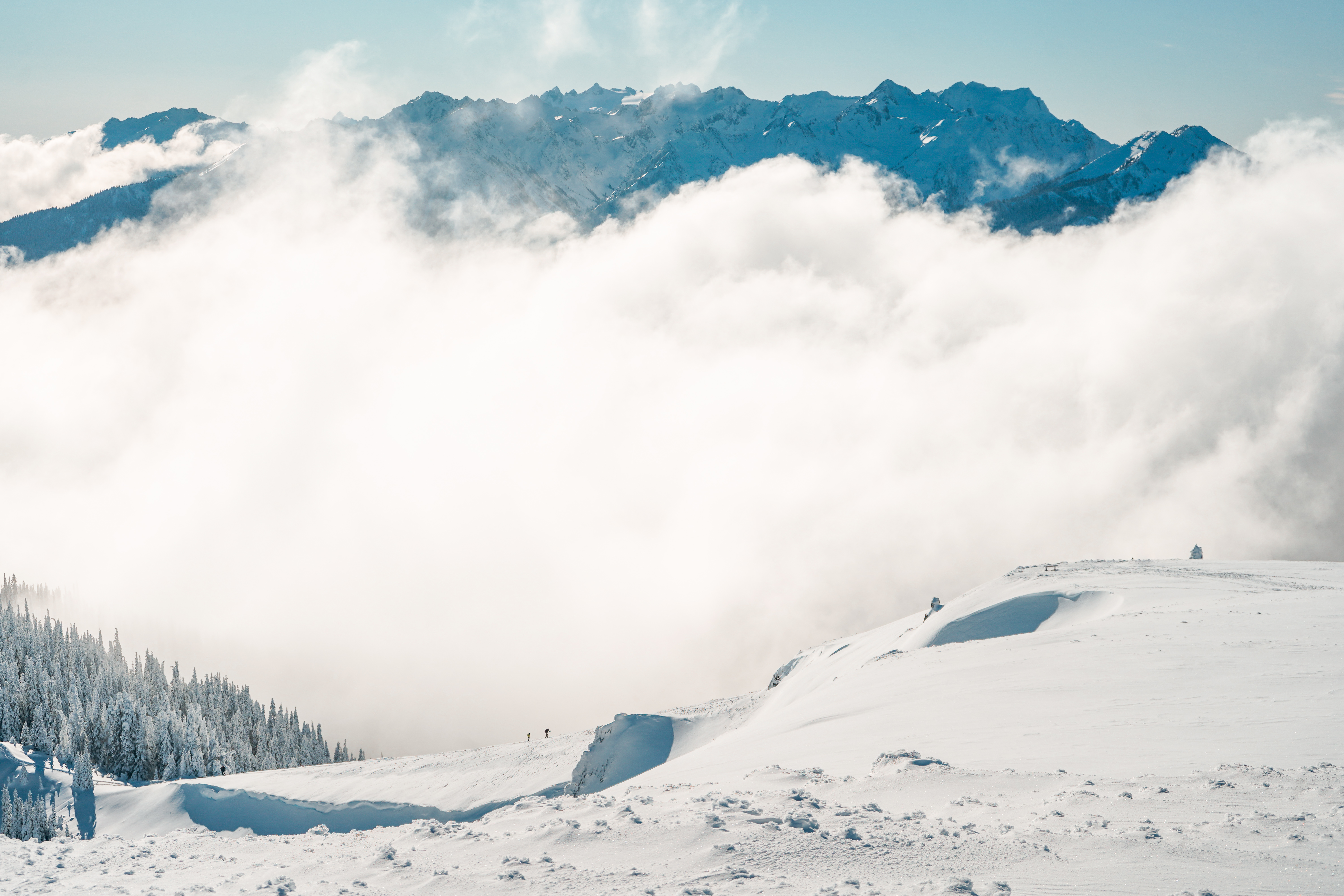
13 & 17: Hurricane Ridge & Sunrise Viewpoint, 7/8/2021 and 8/15/2021 | 5 miles • 3 hours • 1,200 feet gain
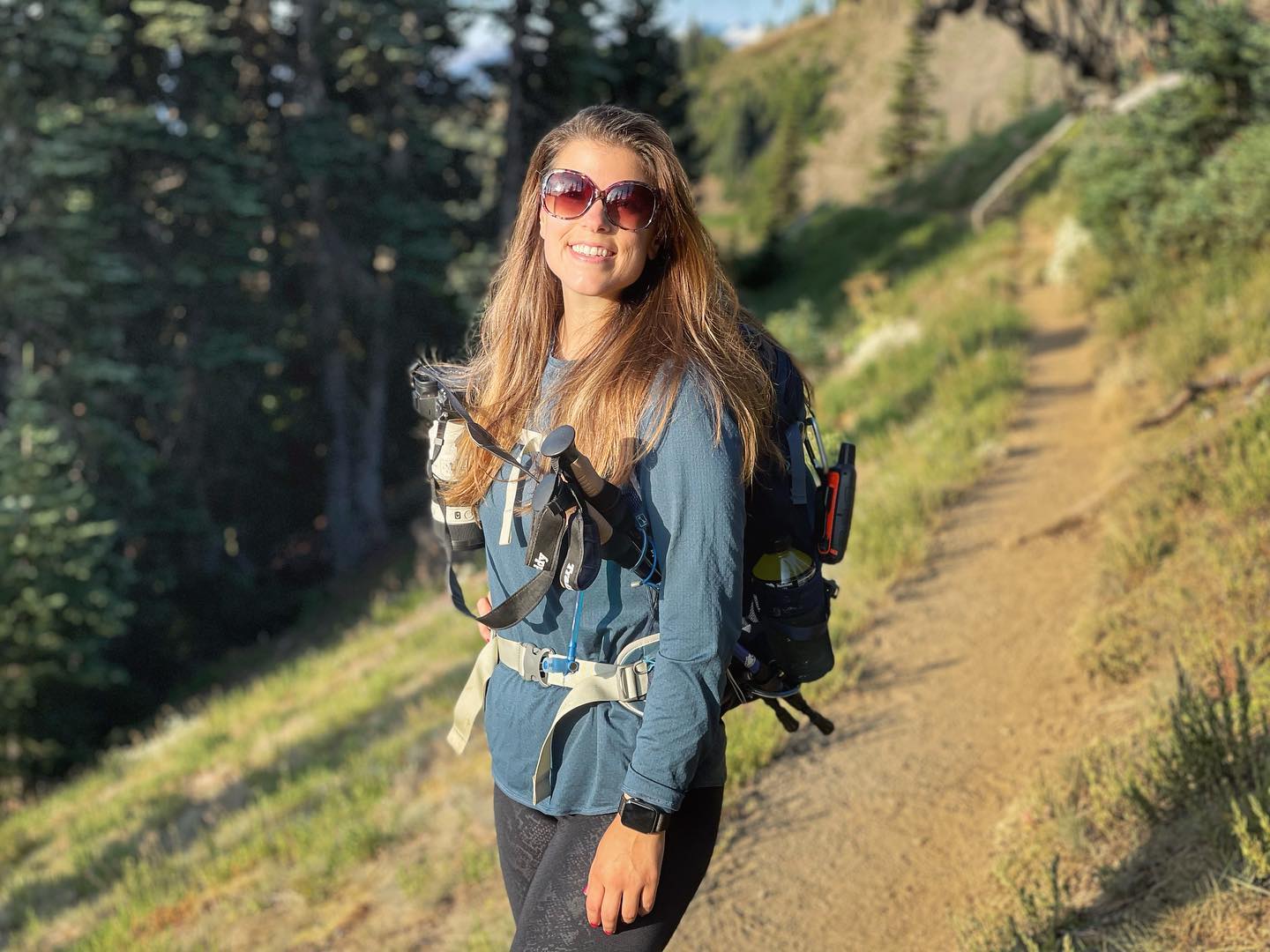
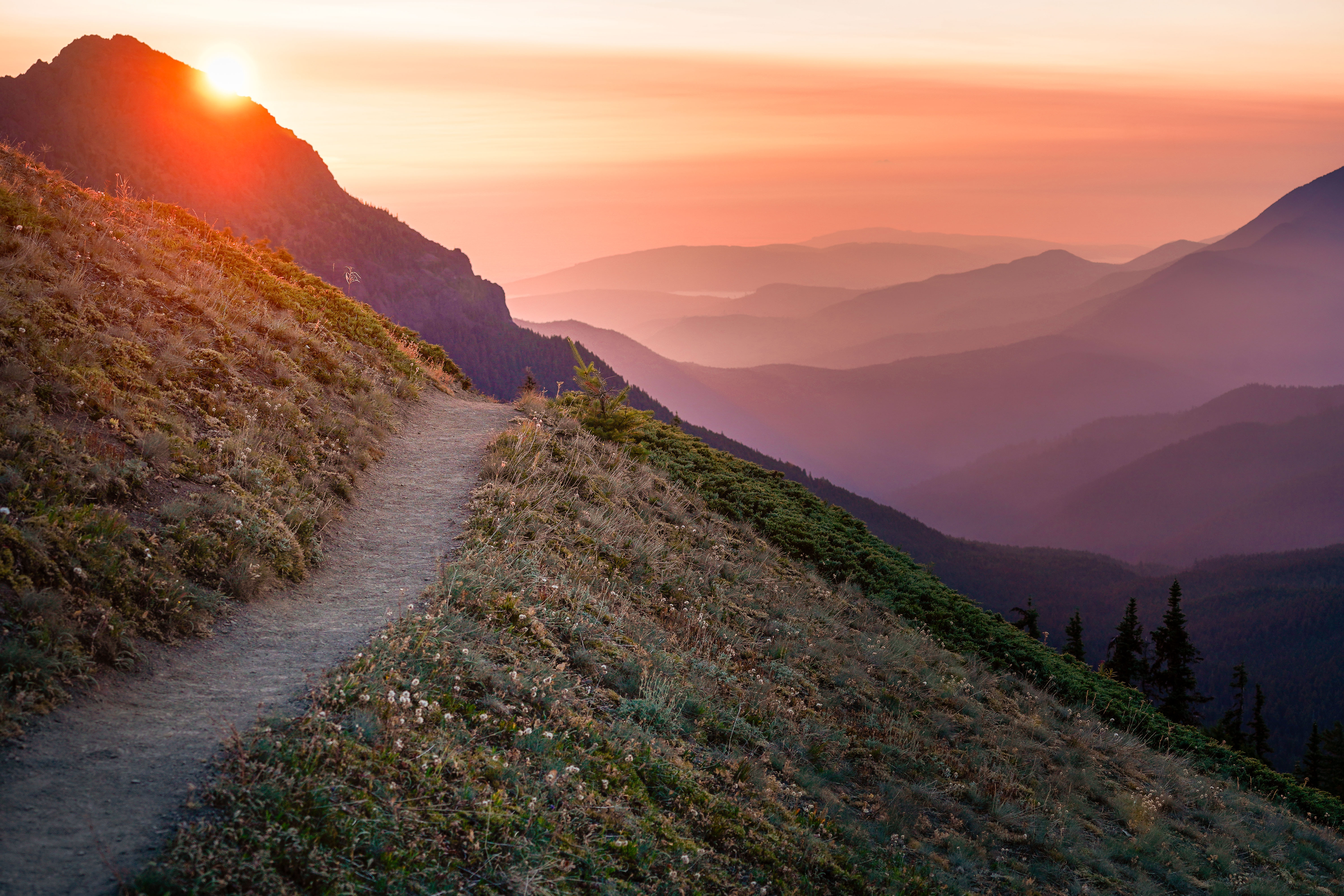
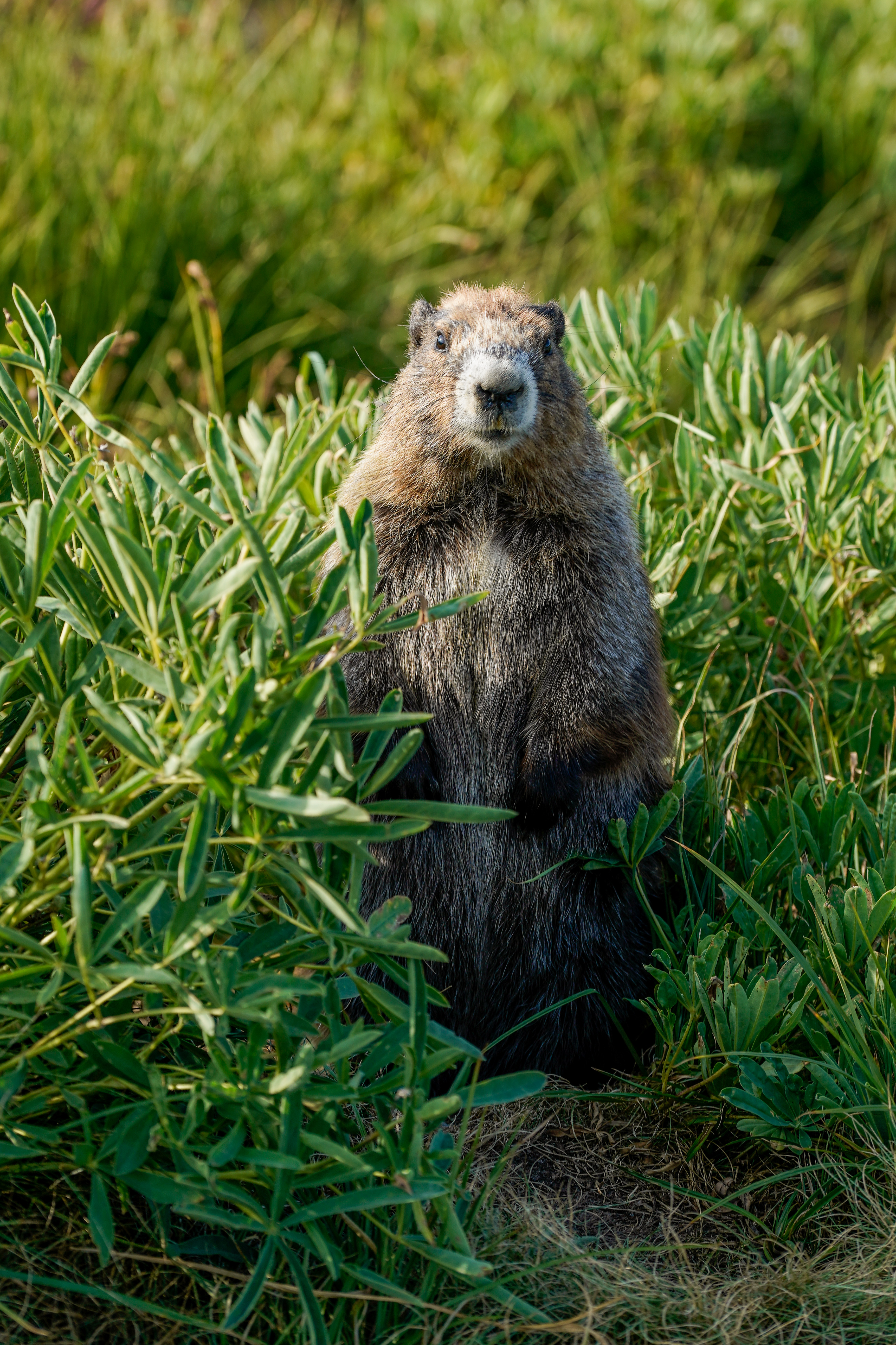
Hurricane Ridge is easily one of my favorite places on the planet and I always recommend it to people who are looking for stunning panoramic mountain views but don’t want to break a sweat getting there. Hurricane Ridge is so easy to access during the summer and the views from the parking lot are hard to beat. But if you are looking for a challenge, there are plenty to find on Hurricane Ridge. One of my favorites is the trail along Hurricane Ridge, where you can go left up to Mount Angeles or right along Klahhane Ridge, two great hikes. This summer I enjoyed a little of both. I took Mom up for a quick 1-mile hike to Sunrise Viewpoint in July. In August I returned on my own for a solo hike, my only solo hike of the year. I decided around 10:30 the night before I was going to get up at 3 a.m. to see the sunrise in the mountains. I knew exactly where I wanted to go and was on the trail a little after 5. I hiked from the visitor center along Hurricane Ridge about 3 miles. By then the sun was full up and some hazy clouds had rolled in, so I turned back a little ways beyond the Mount Angeles junction and was back at the car around 9. A bit disappointed most of the wildflowers had stopped blooming by then, but the incredible sunrise colors and my close encounter with a new marmot friend certainly made up for it.
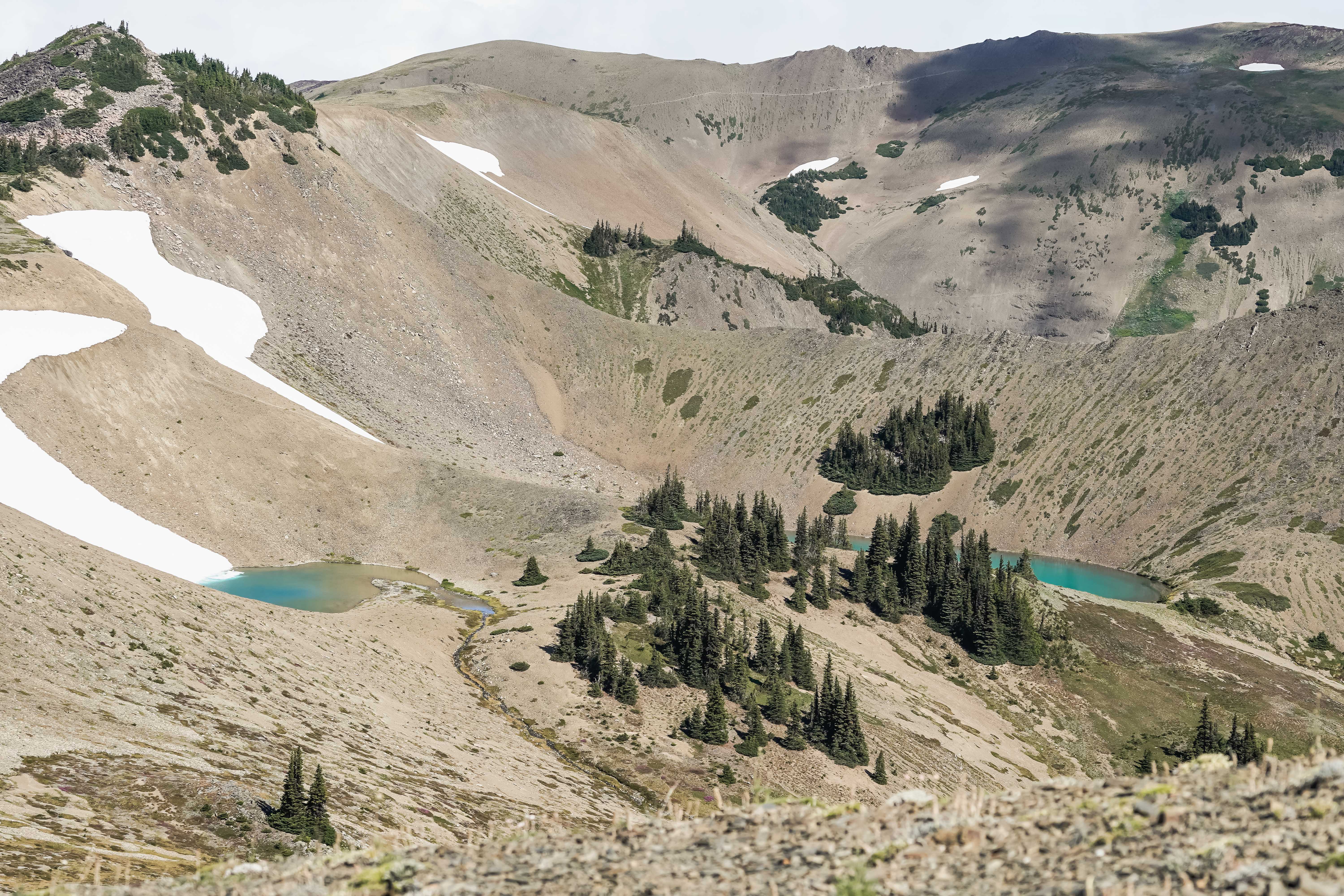
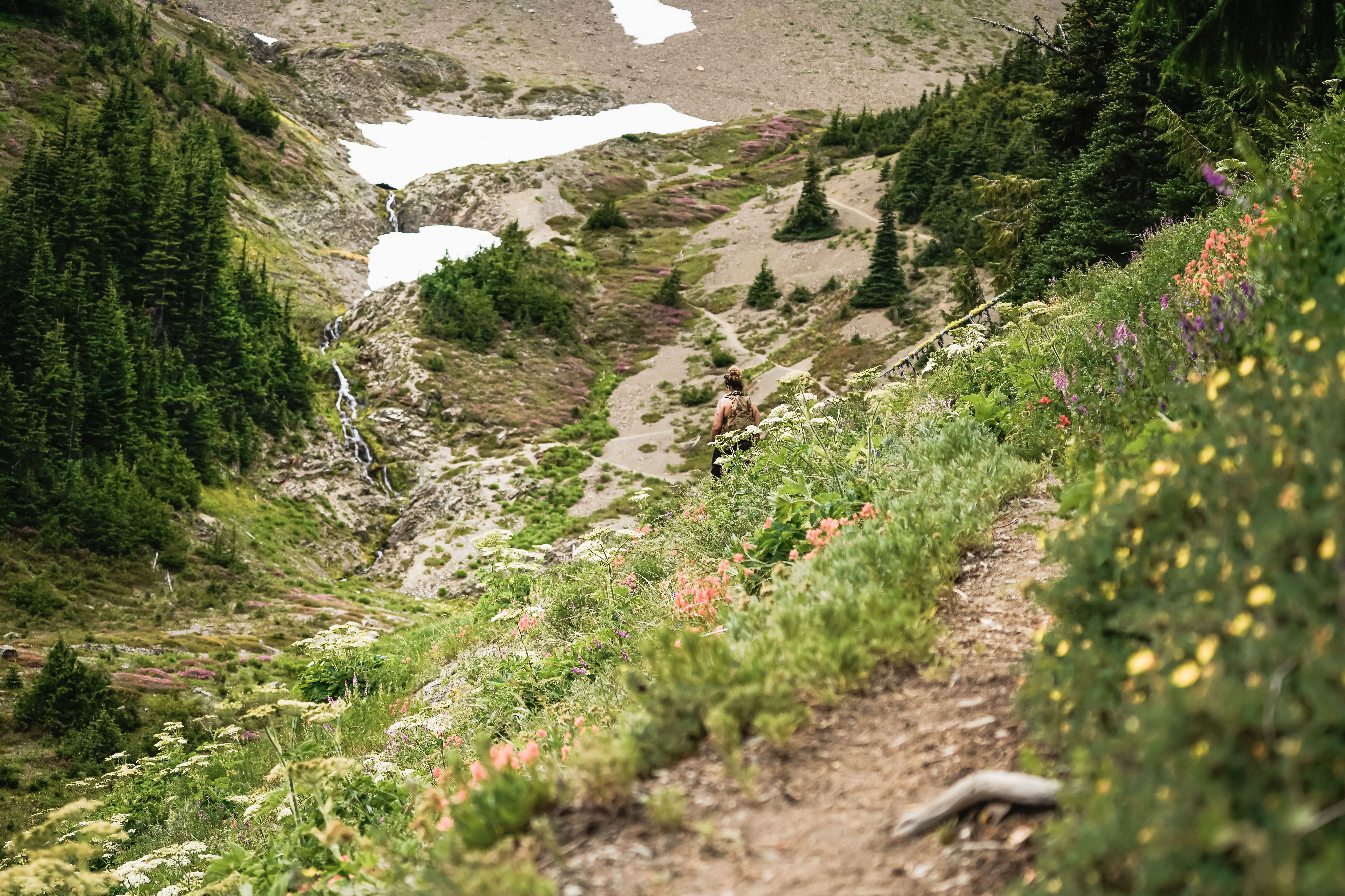
14 & 16: Badger Valley, 7/17/2021 & 7/22/2021 | 9.4 miles • 6 hours • 3,000 feet gain
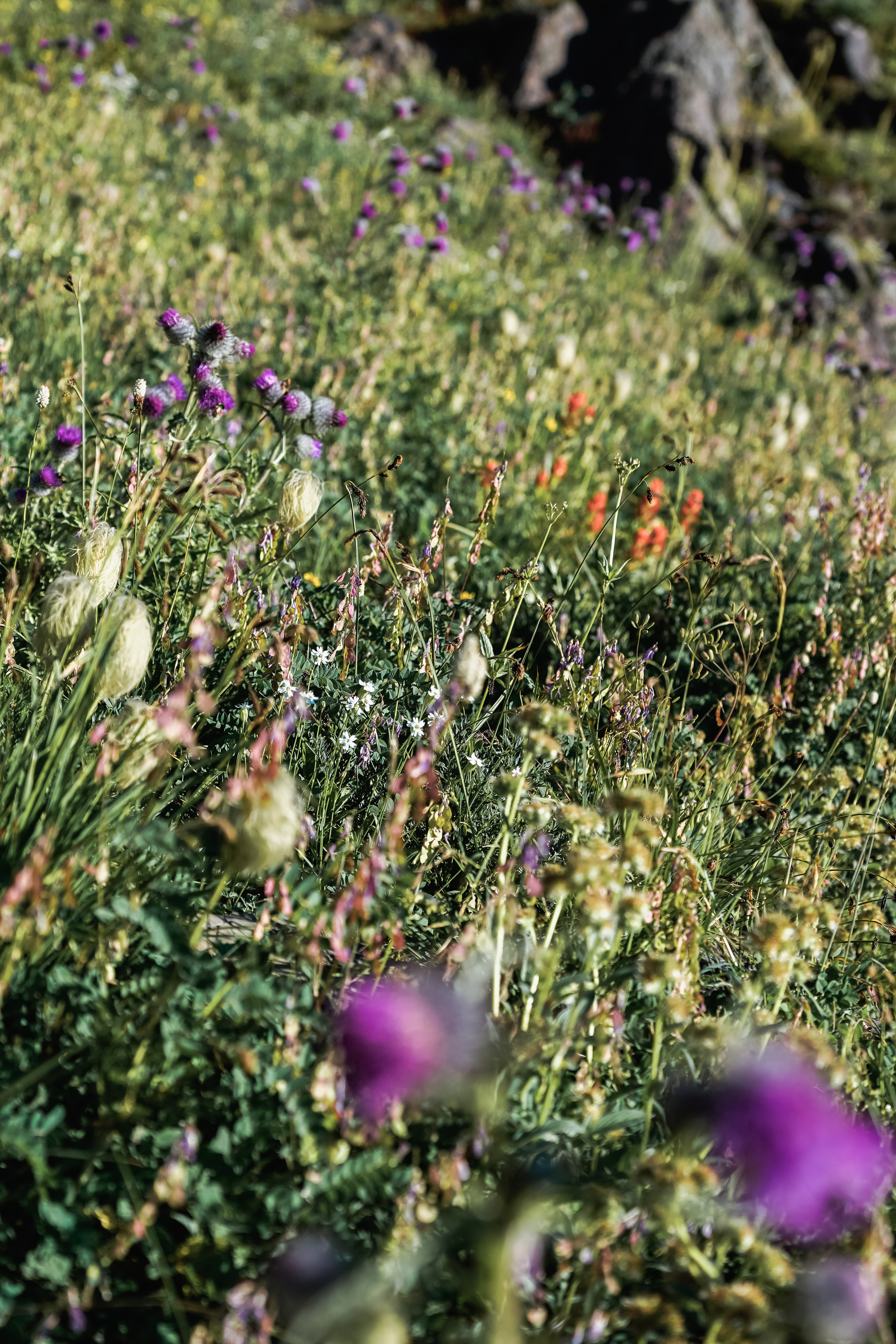
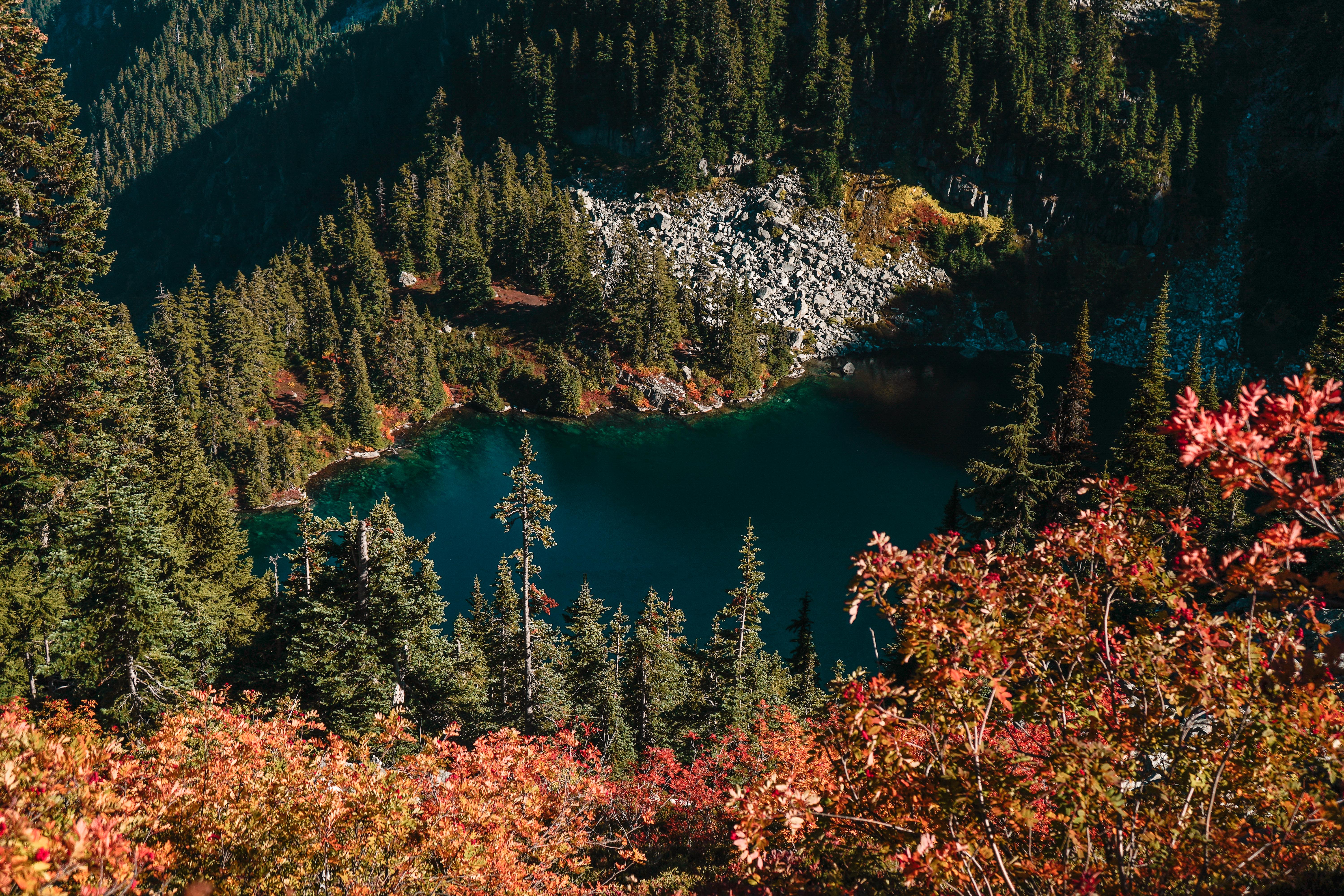
Completed with Adrienne on July 17 and then again on July 22 with Dad and my cousin Madison who was visiting from South Carolina. The route from Obstruction Point to Grand Pass, Grand Lake and Badger Valley is one of my favorite trails of all time. We started our hike at the Obstruction Point trailhead about 15 miles southeast of the Hurricane Ridge Visitor’s Center. It’s a very scenic and challenging hike over a varied landscape of open tundra-like terrain, wildflower meadows, steep scree slopes, fir forests, and rocky creeks. We trekked down Grand Pass Trail to Moose Lake & Grand Lake, then back up through the meadows and switchbacks on the Badger Valley Trail. This is one of the best trails for Marmot spotting, and it offers vibrant colors during wildflower season and some great fall foliage in September and October. It usually takes me about 6 hours to do 9.4 miles, 3000 feet of elevation gain.
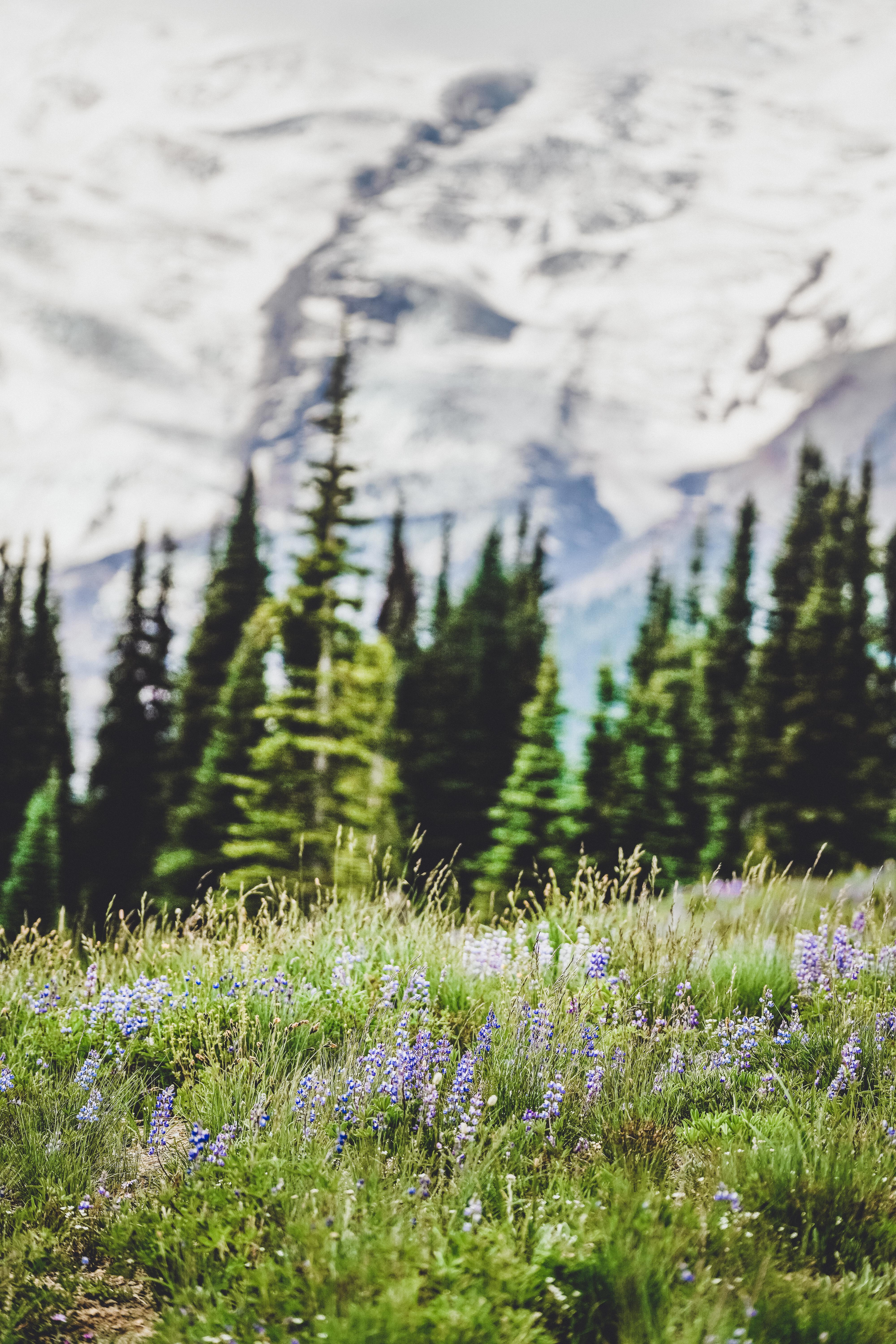
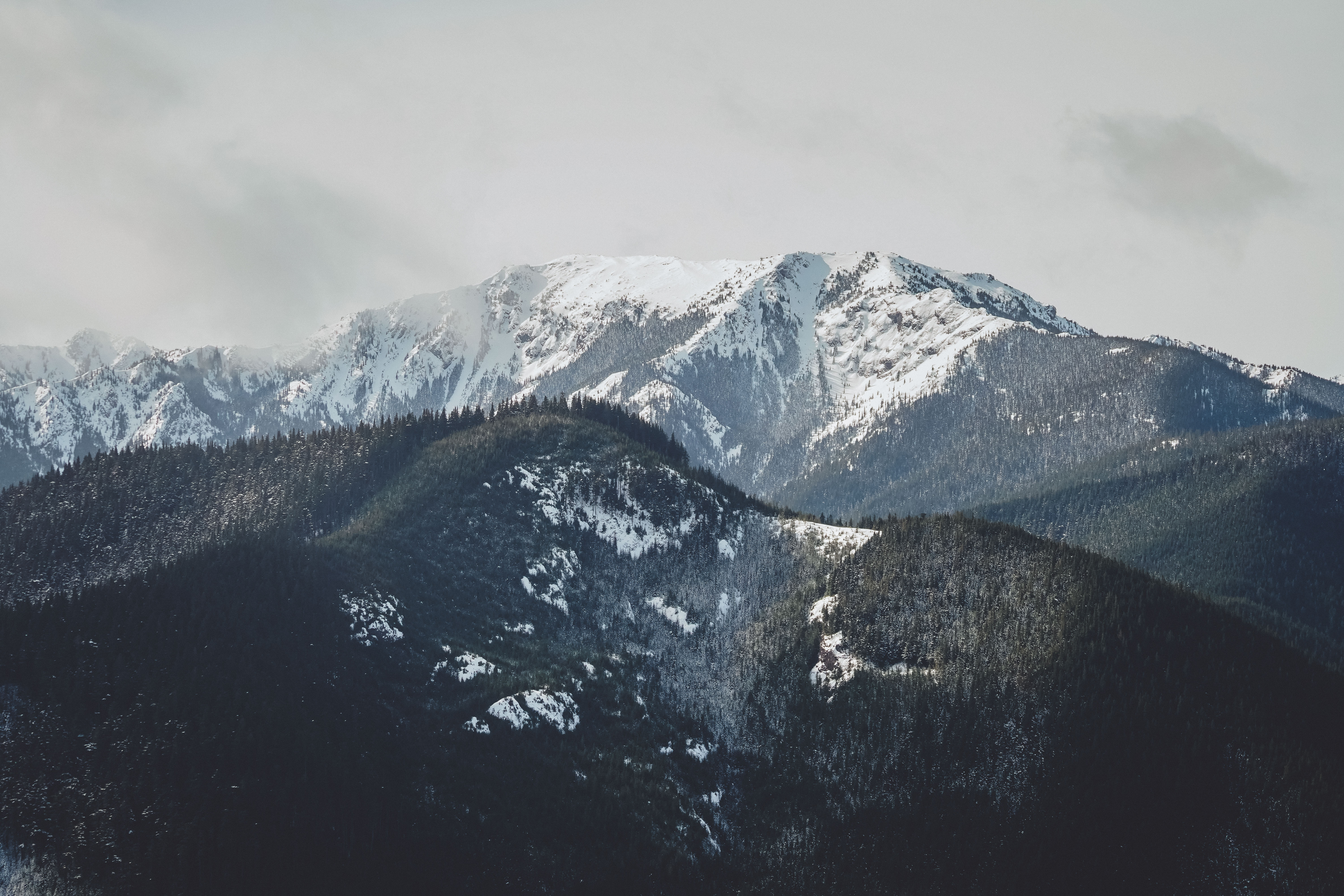
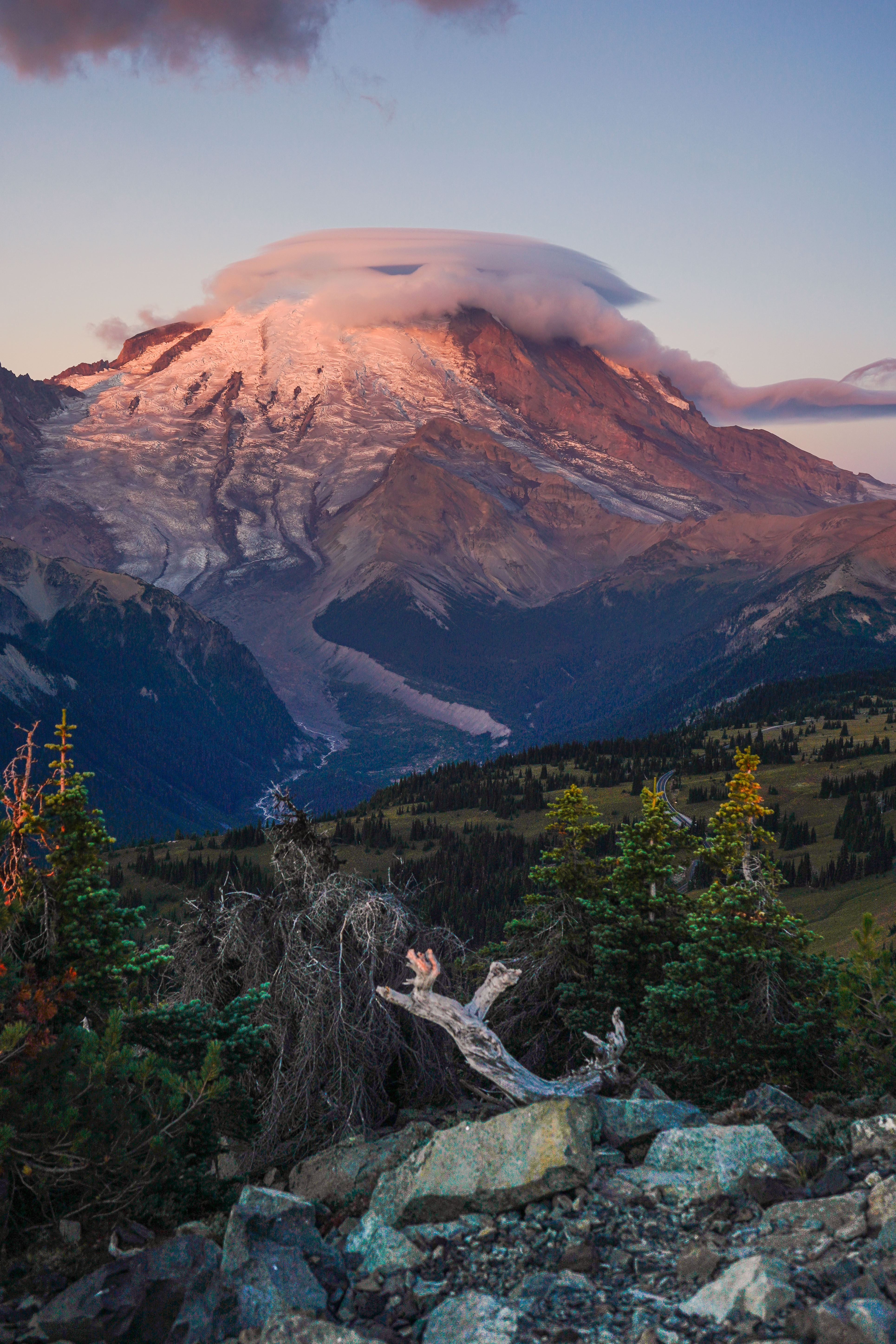
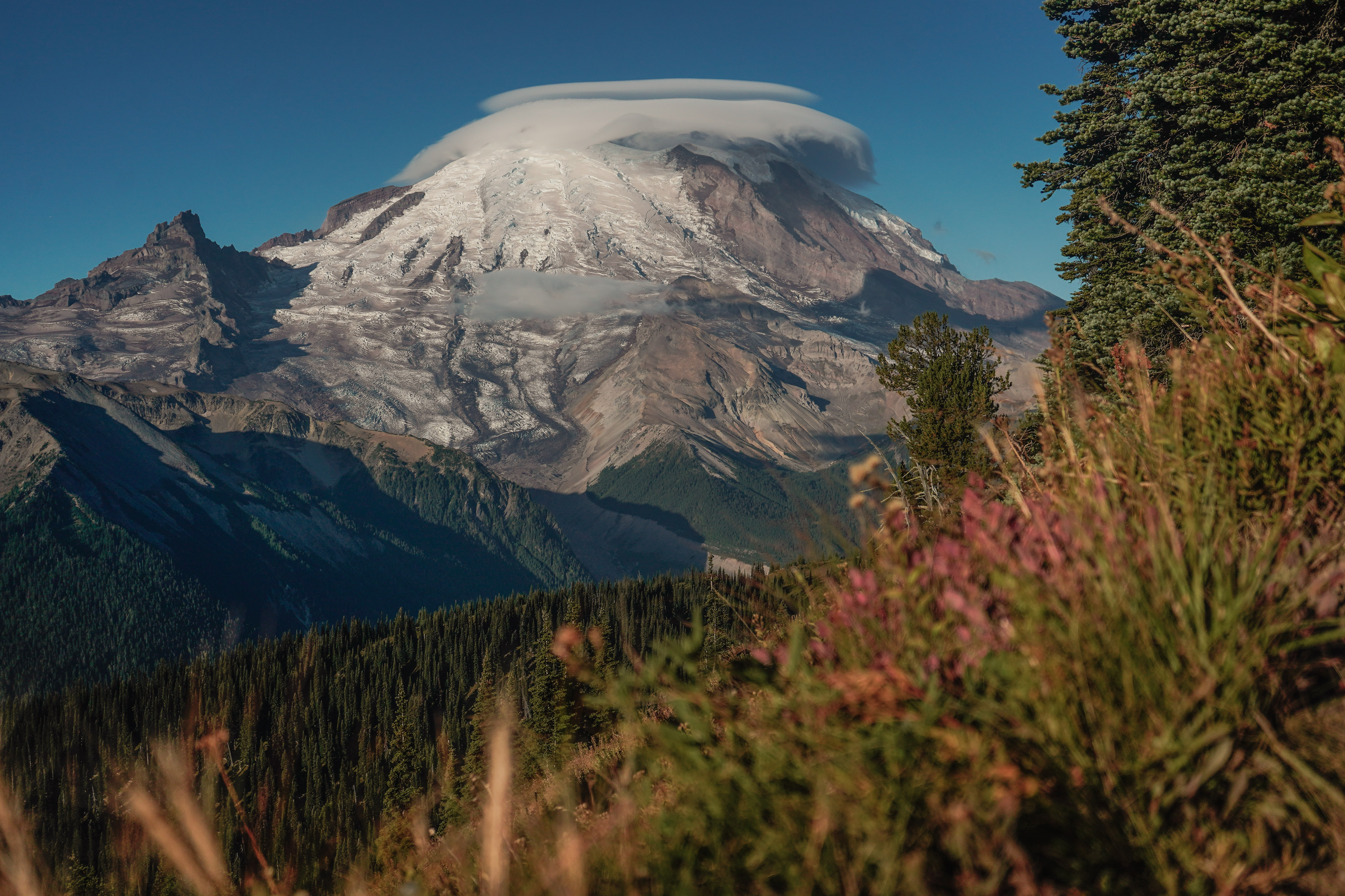
15: Mount Fremont Lookout, 7/21/2021 | 6 miles • 3 hours • 1,100 feet gain
Completed with Madison and Jordan. This was the first time I’d been up to the Sunrise area of Mt. Rainier. We started off at the visitor center and stayed on Sourdough Ridge past Frozen Lake up to Mount Fremont Lookout, the highest of the fire lookouts in Mt. Rainier National Park. This hike is not too steep or challenging but the footing can be kind of tricky on the loose rock that covers the upper portion of the trail. A quick 3 hours, 6 miles, 1100 feet gain.
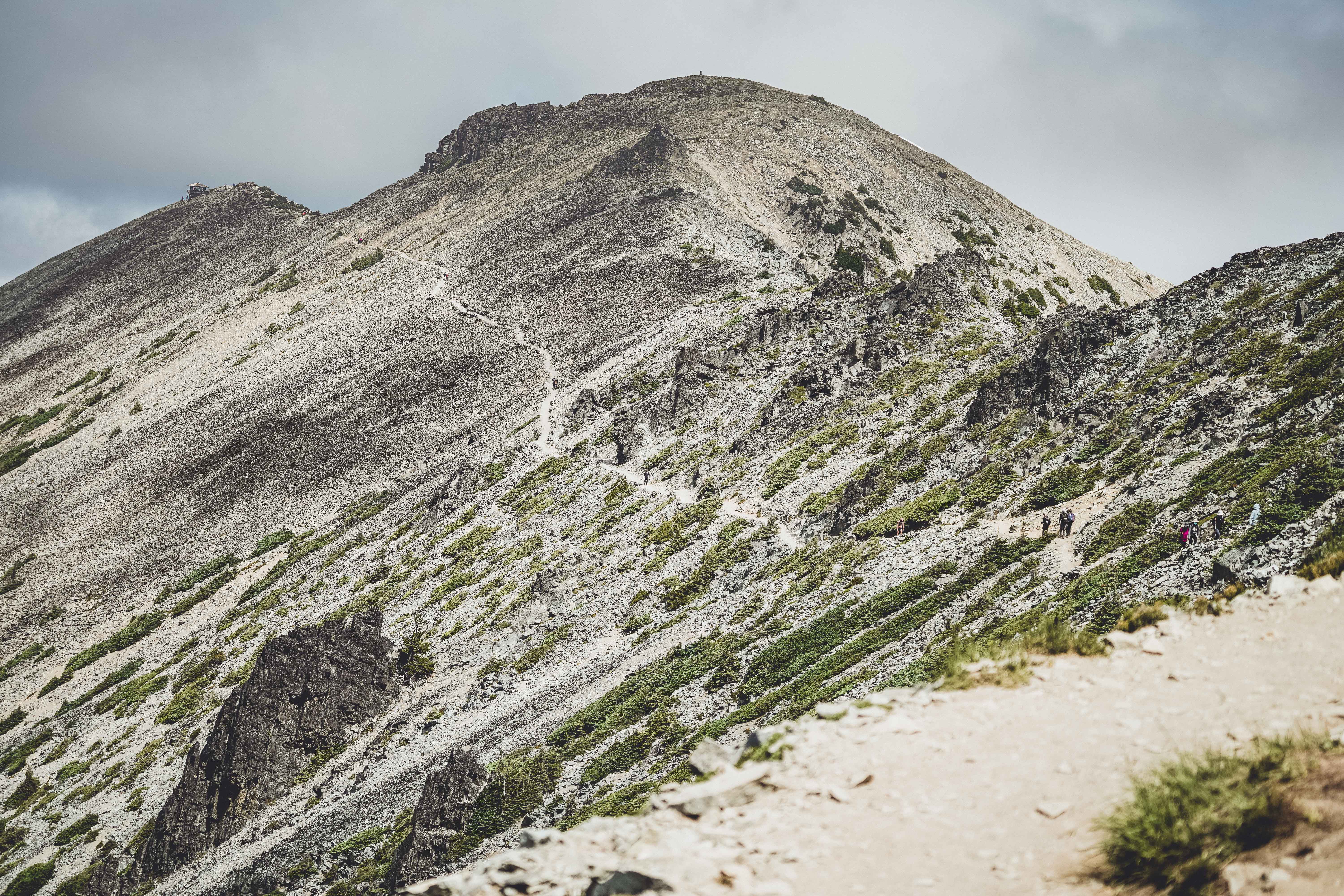
18: Mount Ellinor from Upper Trailhead, 8/19/2021 | 4 miles • 5 hours • 2,400 feet gain
Completed with Dad. This was Dad’s first time up at Ellinor. It’s #2 on my list of favorite bun burners. We arrived at the upper parking lot at 7am and hit the trail at 7:10. This is a short hike with a big reward, ideal for a morning adventure. Mount Ellinor is located to the north of Lake Cushman, about 15 miles from Hoodsport and the Hood Canal, in the southeastern quarter of Olympic National Park. The hike is only about four miles out-and-back, but the trail is quite steep and challenging, with an elevation gain of 2,342 feet within two miles. There were still abundant wildflowers in many places along the trail, and a bright, cloudless sky greeted us at the top.
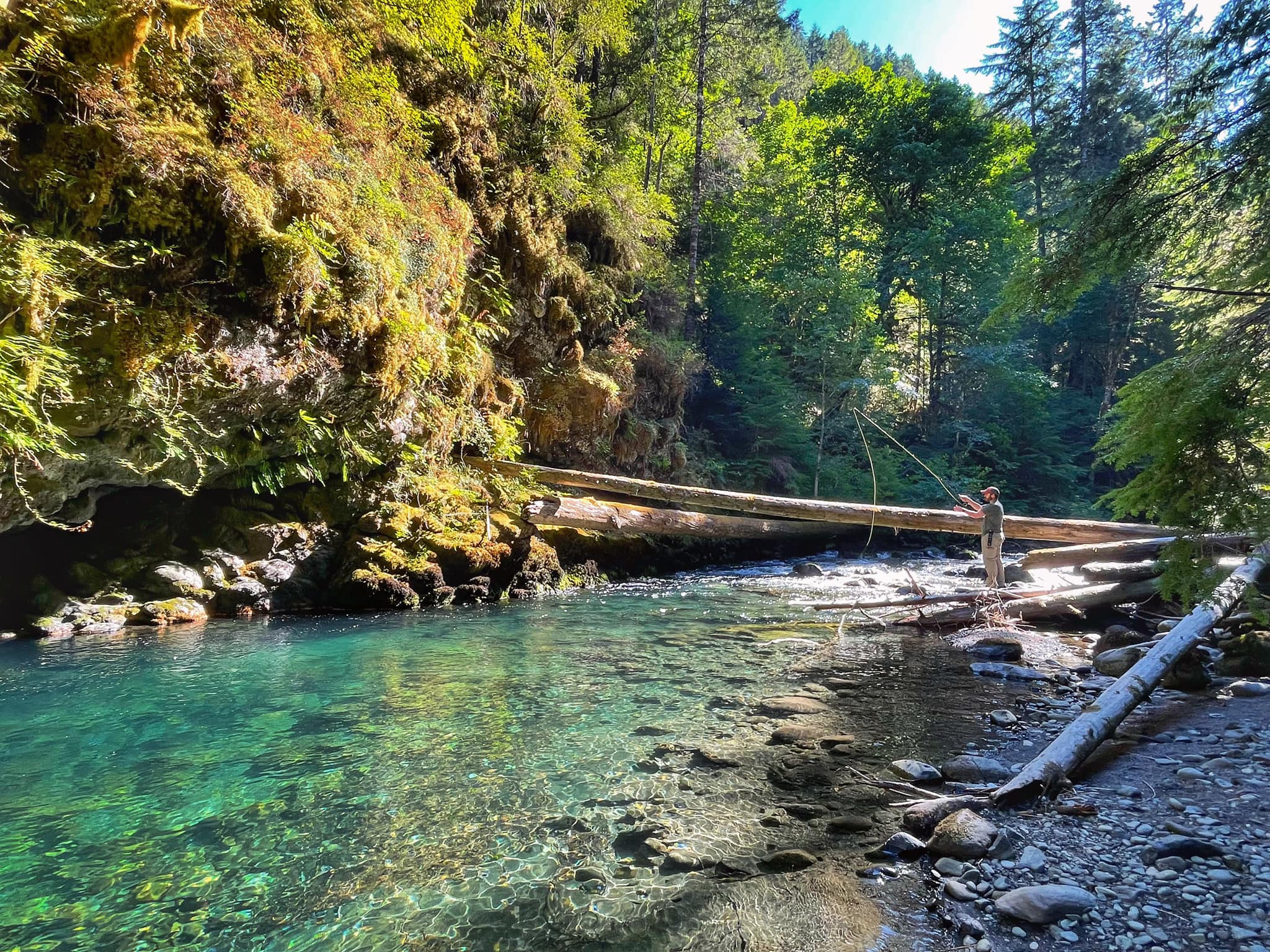
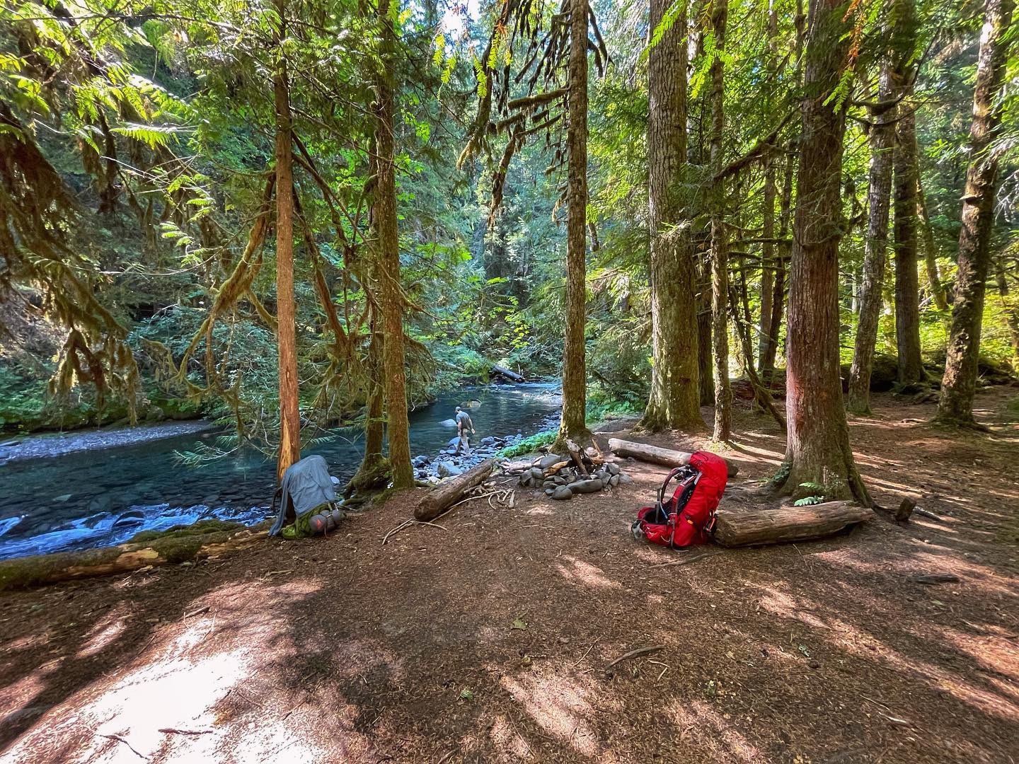
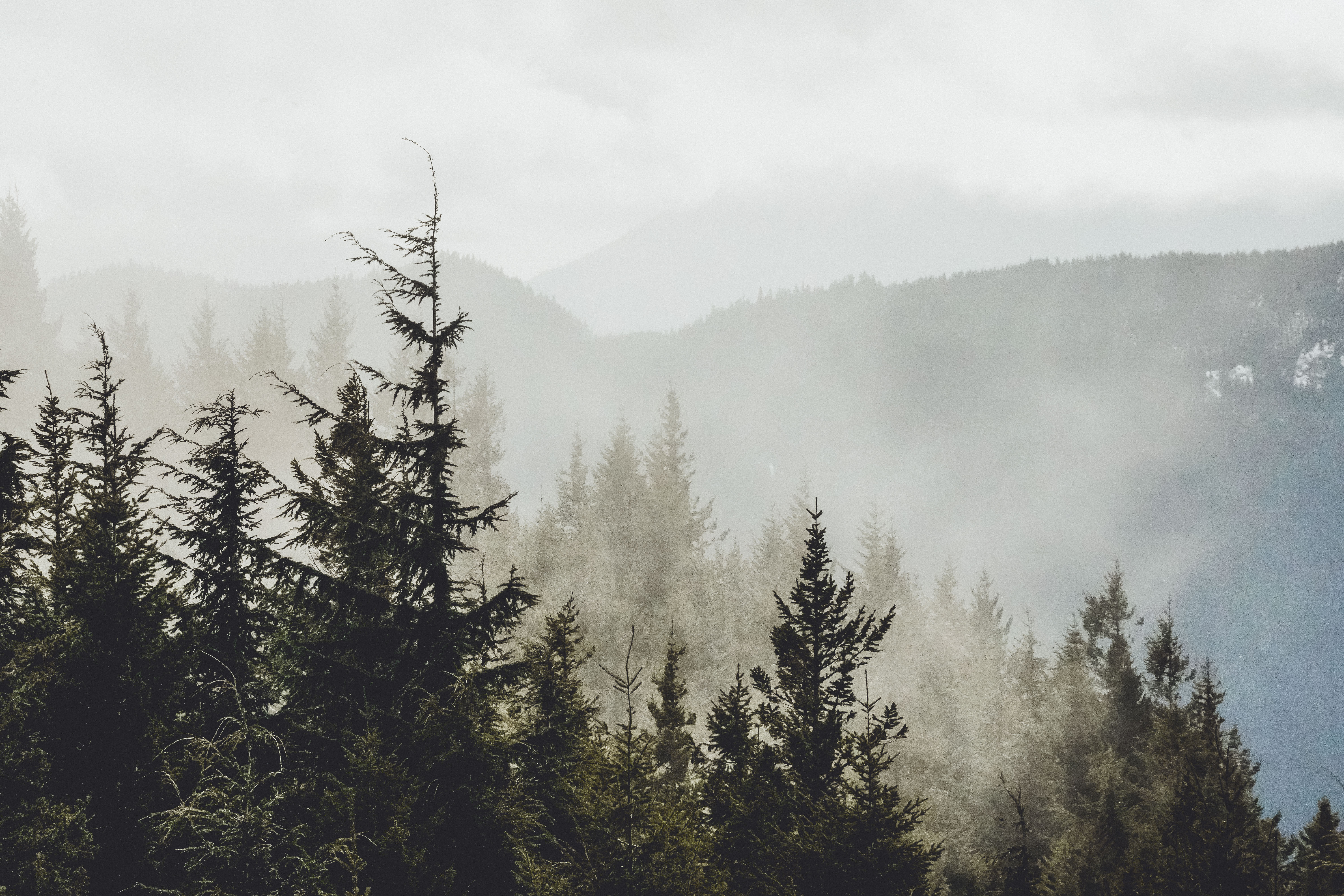
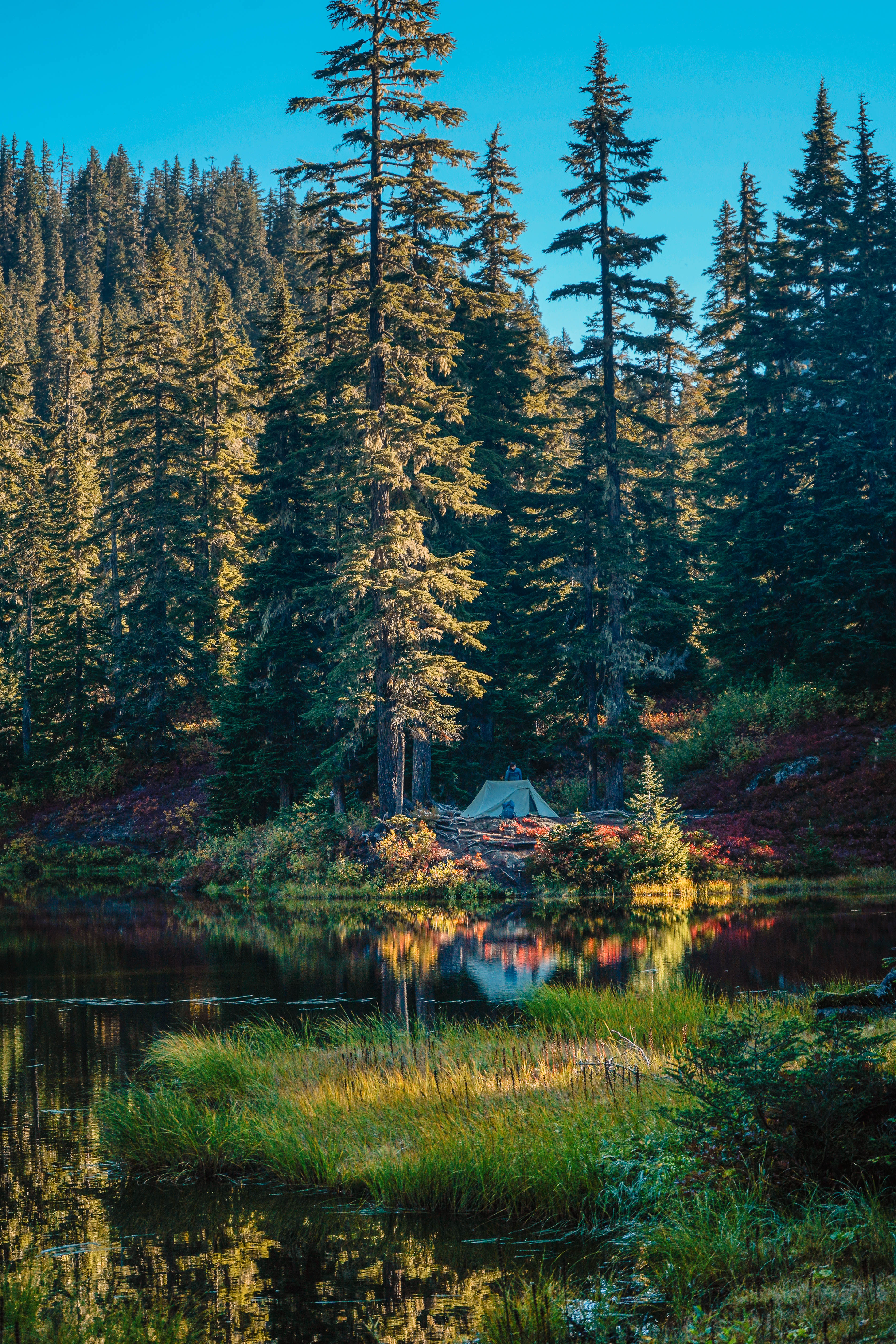
19: Gray Wolf Trail, 8/28-29/2021 | 7 miles • 3 hours • 1,100 feet gain
Completed with Mike. This was a fun little overnighter in the woods along the Gray Wolf River with our friends Jon, Rae, Ashley and Alex. The campsite we chose was just over 3 miles up the trail, about 700 feet gain. I forgot to take any pictures of the camp after we set up, but it was a lovely spot right by the water. It was the middle of fire season so we couldn’t have a campfire and spent the evening huddled around talking and cooking by battery lanterns and headlamps. Took us 1.5 hours to hike in and a little less than that to hike out the next morning. Easy peasy.
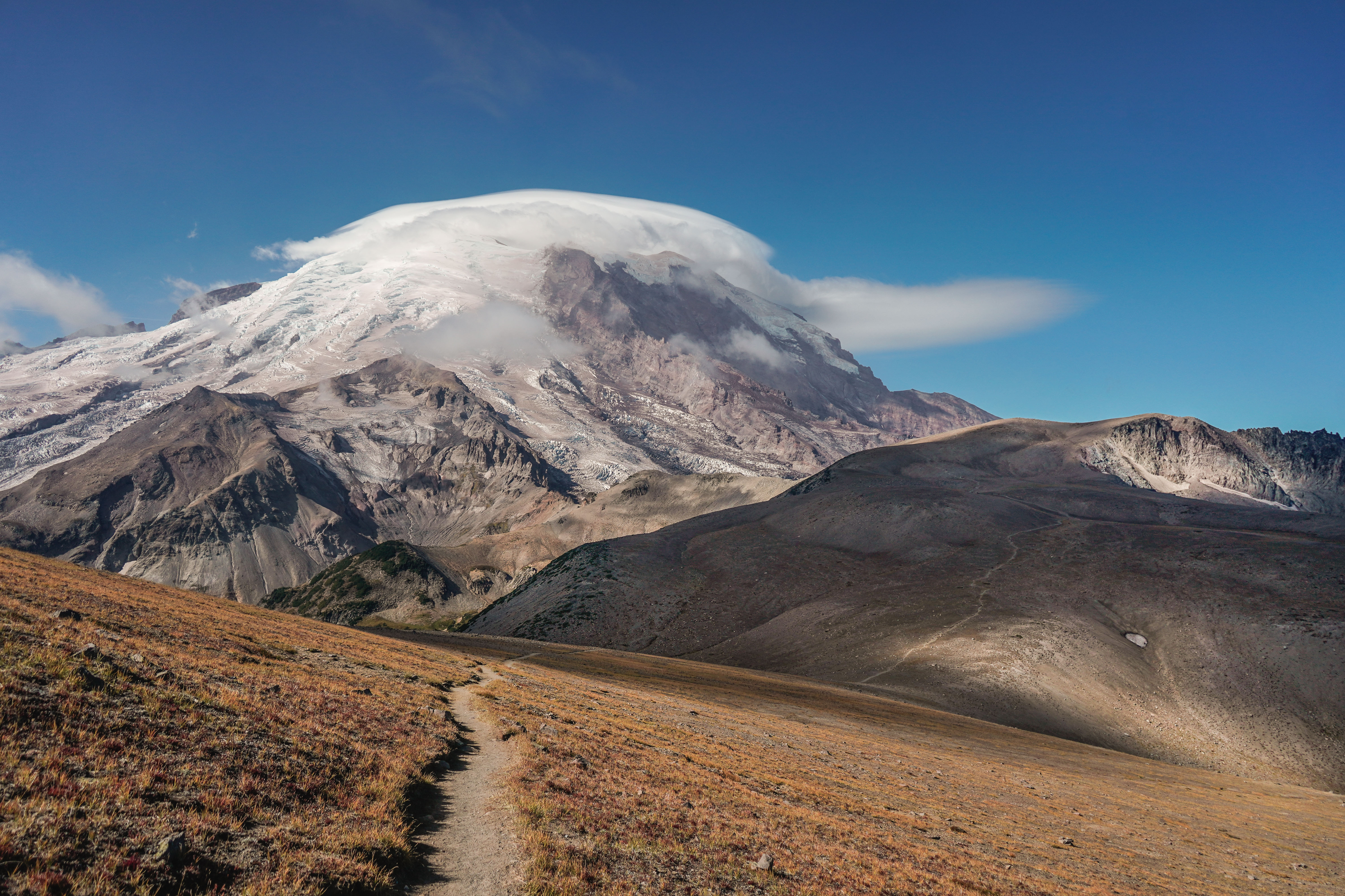
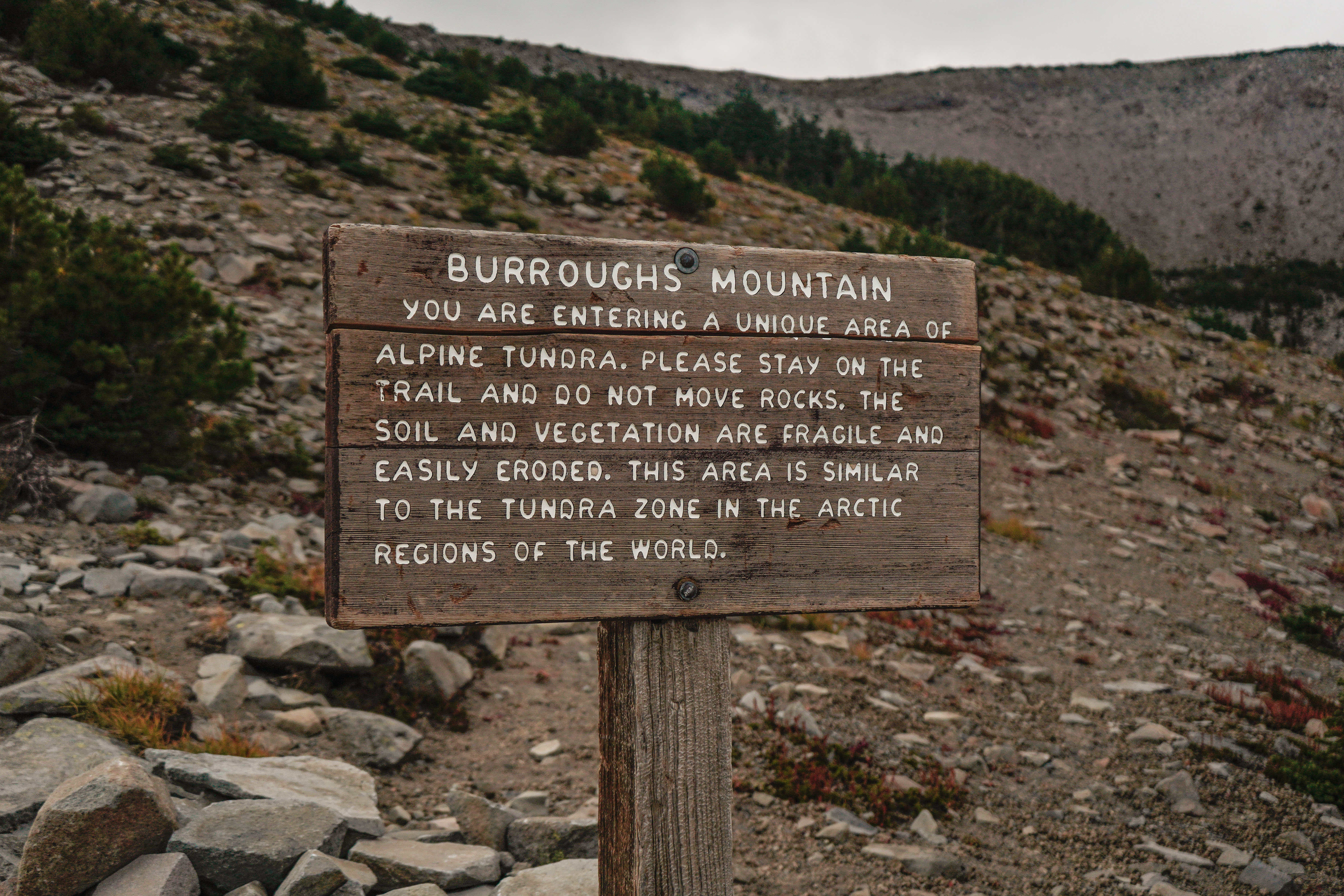
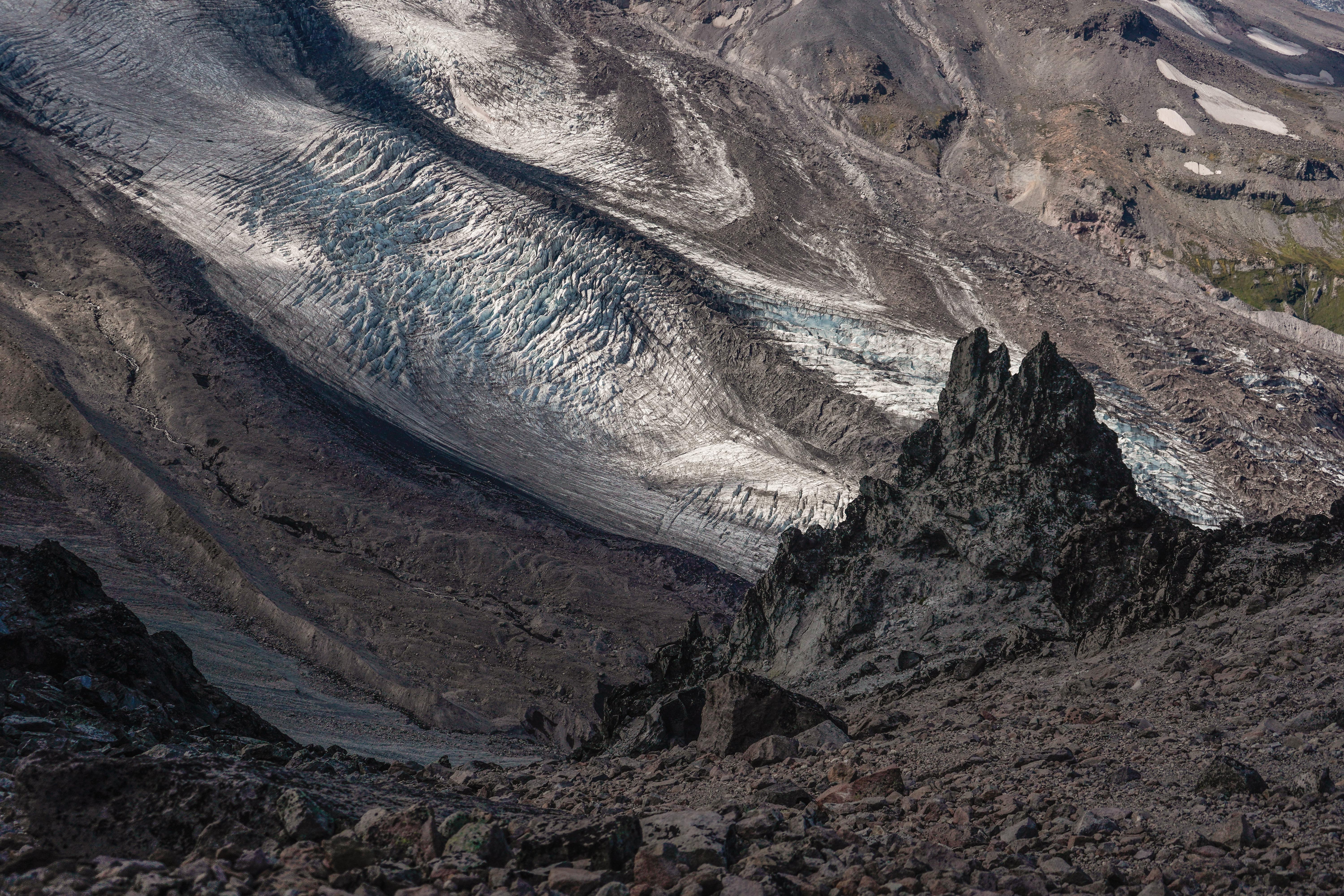
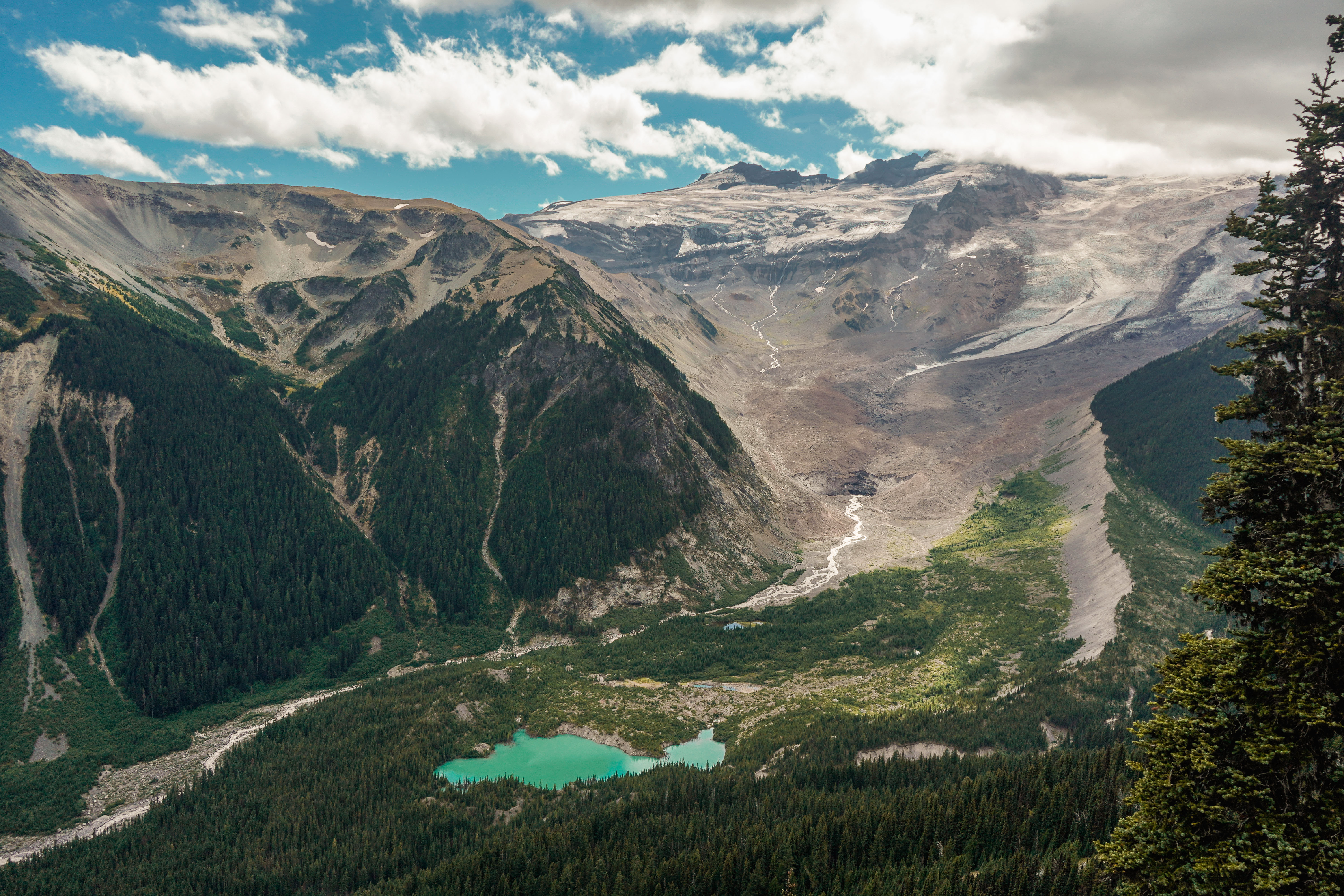
20 & 21: Dege Peak & The Burroughs Loop, 9/5/2021 | 12.5 miles • 7 hours • 3,400 feet gain
Completed with Dad. Woke up at 2:30 in the morning, picked up Dad and drove to the northeast corner of the park. We hiked a quick 1.5 miles by flashlight in the dawn twilight to the top of Dege Peak just in time to see a late summer sunrise on Tahoma. So still and quiet, and yet we could hear the critters of the night moving in the forest around us, and we knew we were not alone. And on several occasions, we heard a mysterious, haunting sound off in the distance to the north. It was a sound like we had not heard before on the trail, a shrill whistle and a low roar at the same time, very eerie in the gloom. Early autumn is rutting season for the elk, and what we heard was the bugle sound of the bull elks as they challenged their rivals for mating rights. We hiked back down to the car and drove up to the Sunrise Visitor Center. From there we did the Burroughs Loop, enjoying a mostly-sunny morning until the Third Burroughs, when the clouds started gathering on the mountain. We ate our lunch and headed back down to Glacier Overlook and past Shadow Lake via the Wonderland Trail. It was a beautiful day on the volcano. We clocked 12.5 miles & 3,400 feet elevation gain. Not bad for a Sunday morning.
Burroughs Loop: AllTrails | WTA
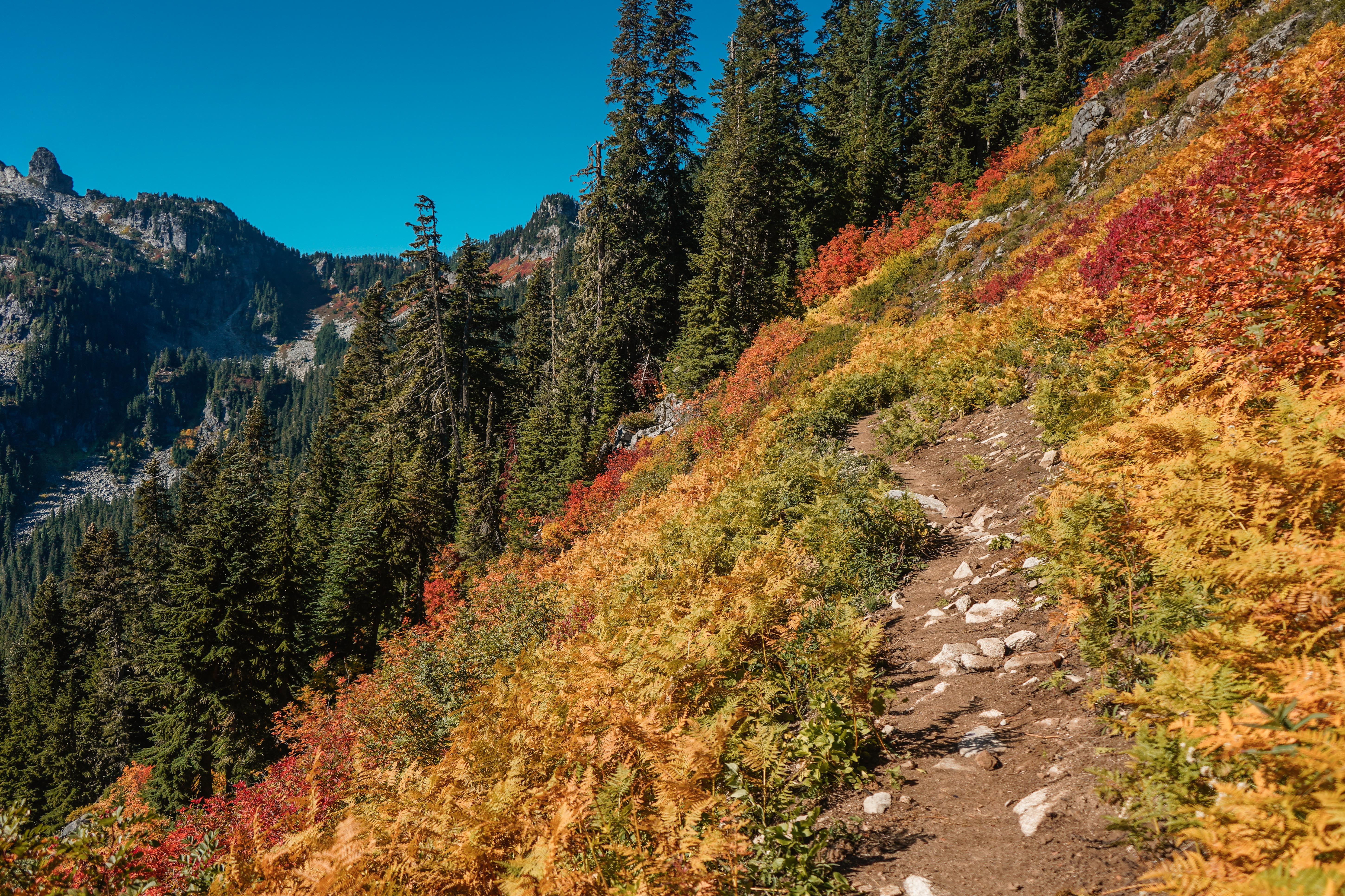
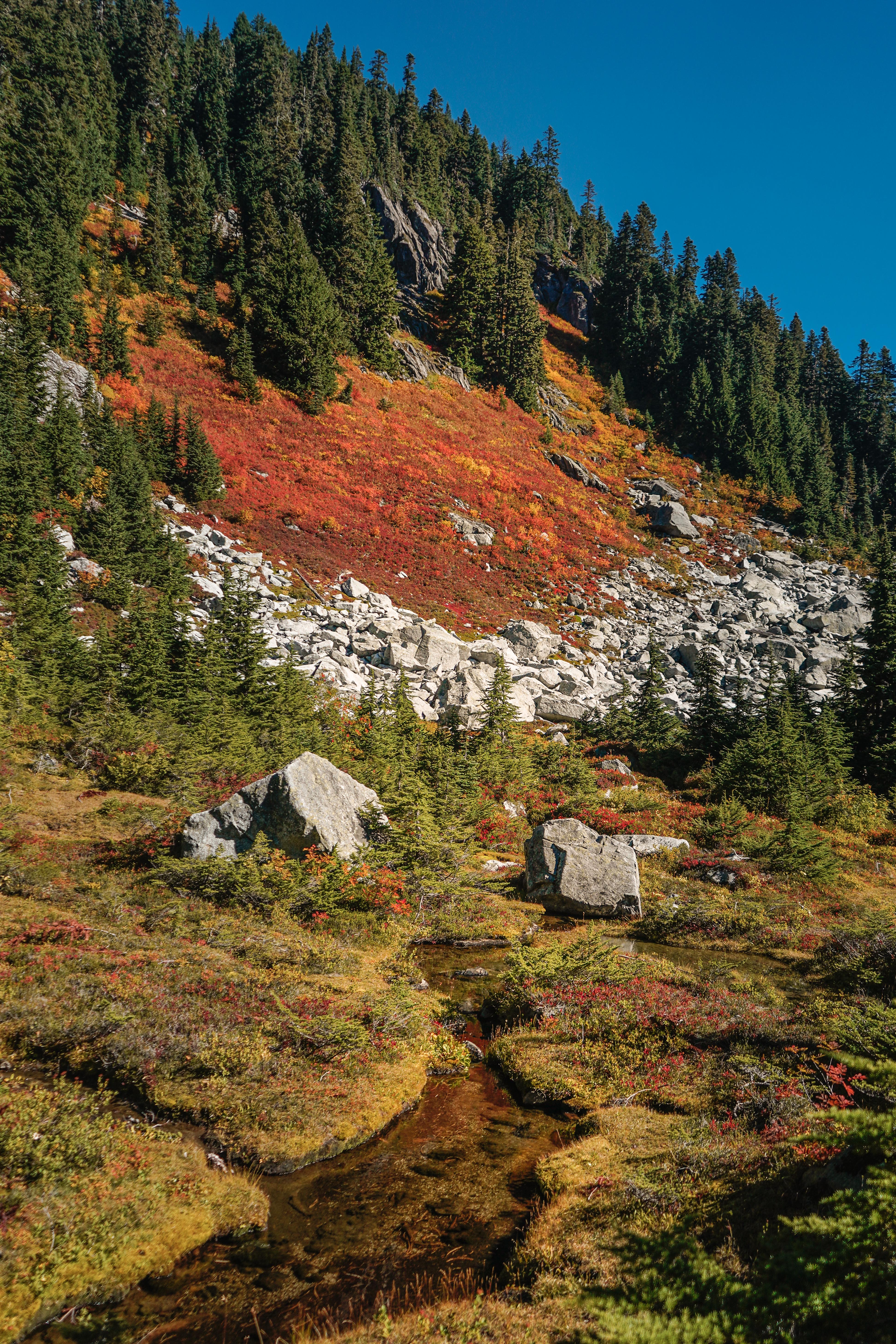
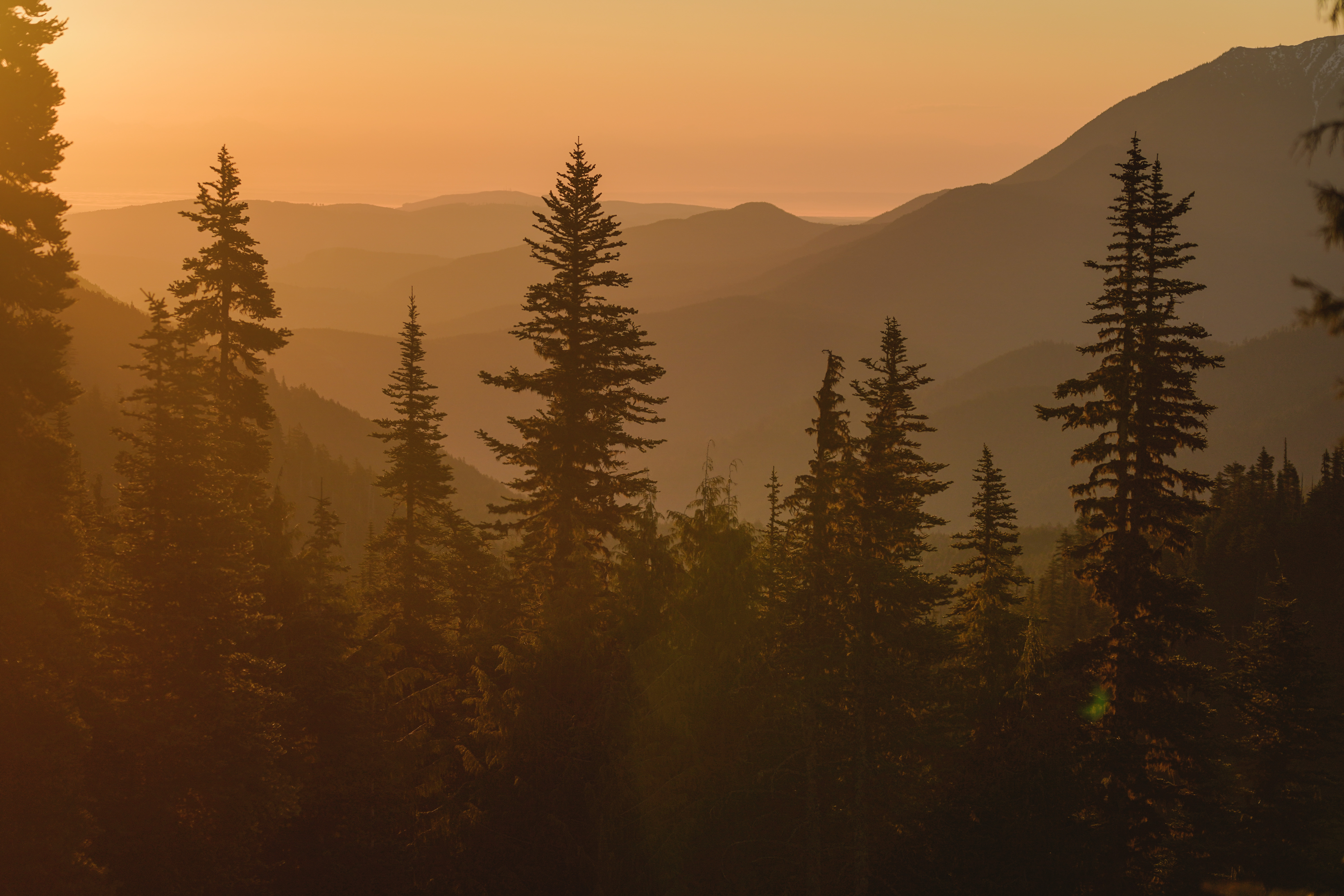
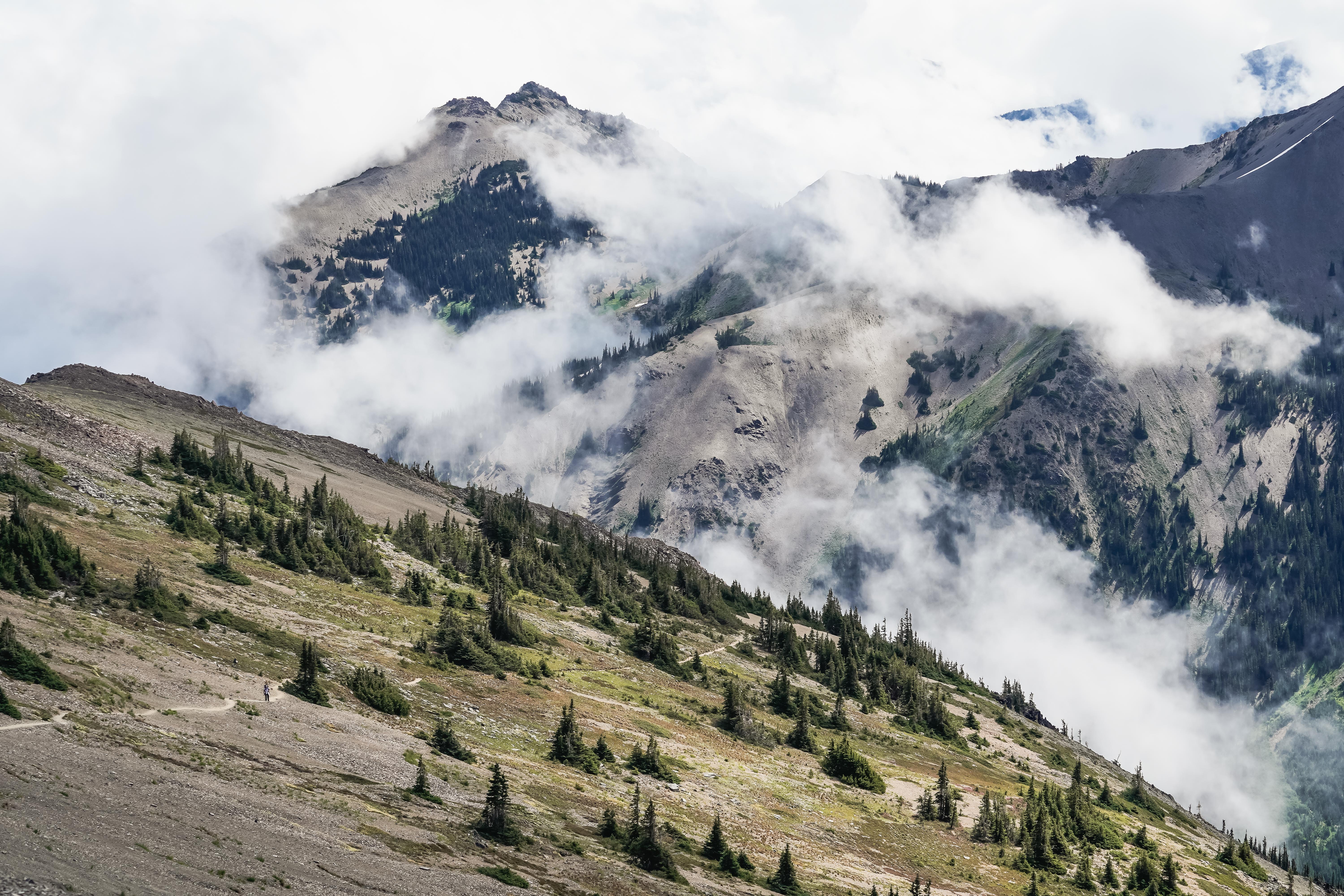
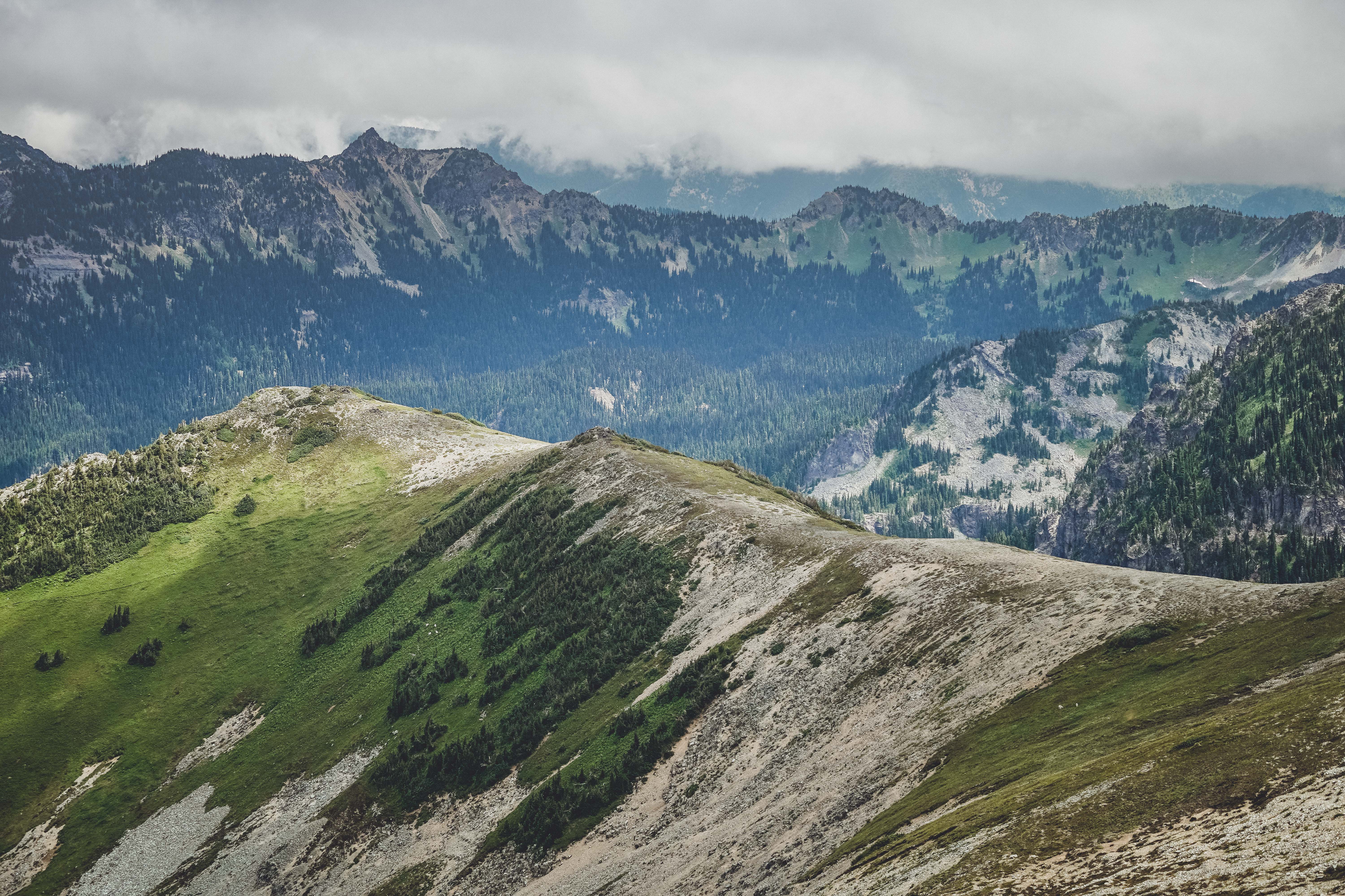
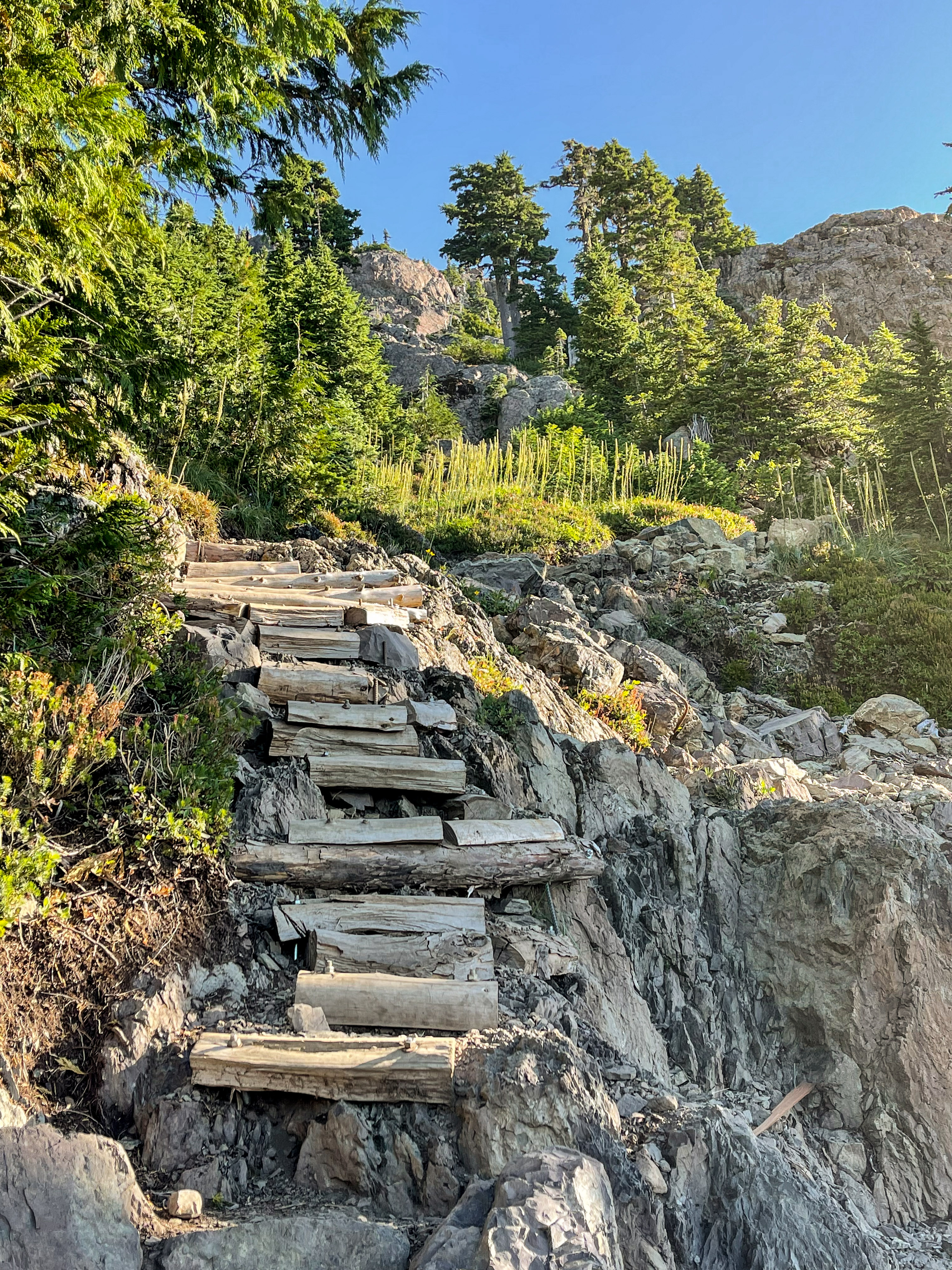
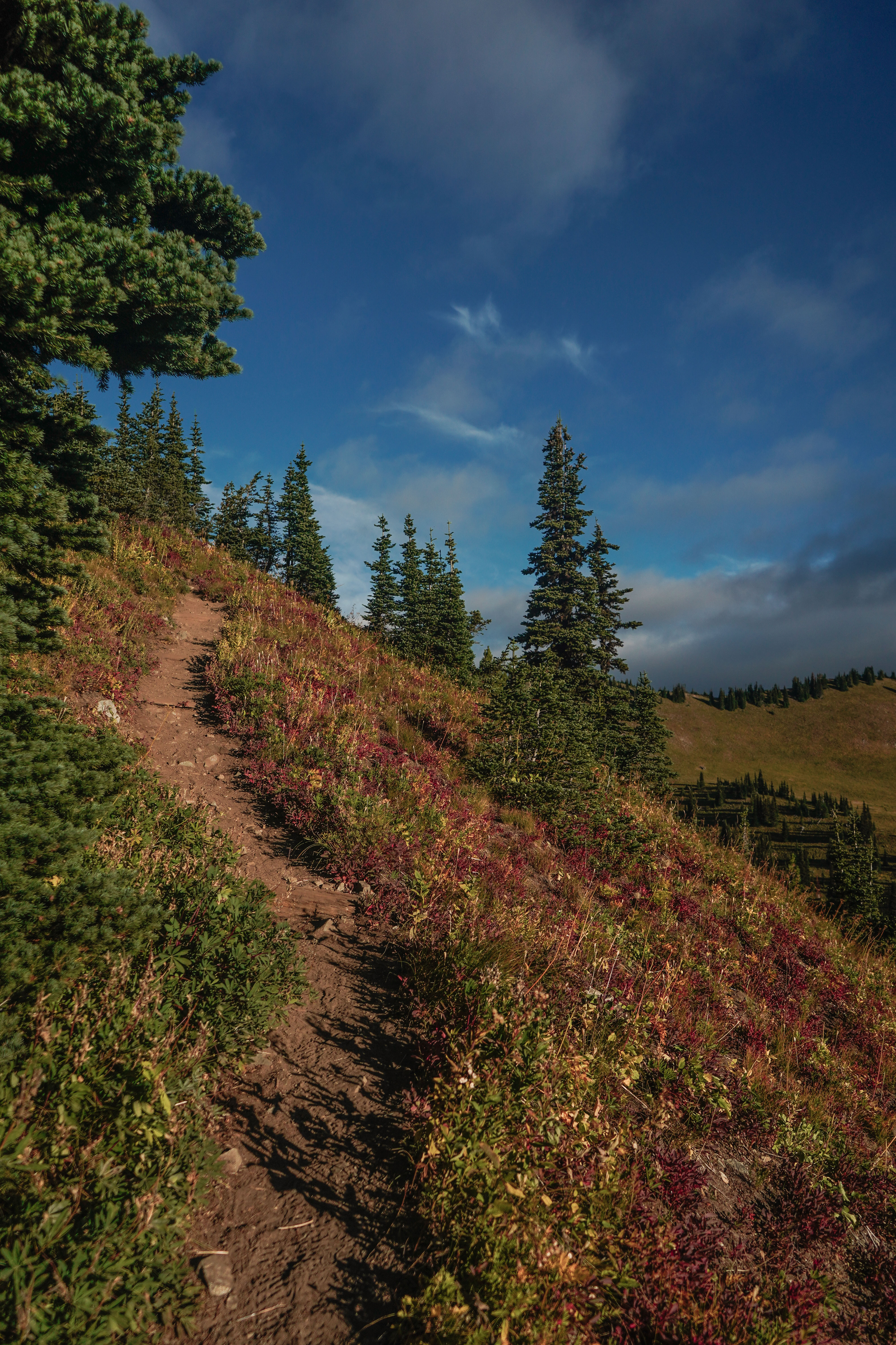
22: Thunder Mountain, 9/24/2021 (my longest hike of the year) | 14 miles • 10 hours • 4,000 feet gain
Completed with Dad. If I had to pick my favorite from this year, Thunder Mountain would be the one. We enjoyed 14 miles and 4,000 feet gain through the Alpine Lakes Wilderness, out and back from Tunnel Creek Trailhead to Thunder Mountain Lake #1. I left the house at 5 a.m. to pick up Dad and started from the trailhead at 8 a.m. We followed the Tunnel Creek Trail for about 1.5 miles before joining a 3 mile segment of the Pacific Crest Trail at Hope Lake. We followed the PCT up to Trap Lake, passing through meadows and hillsides covered in berry bushes exploding with fall color. Where the PCT heads downhill to Surprise Lake, we split off and followed a vertical boot path uphill to the first Thunder Mountain Lake. At about 1 p.m. and after 5 hours of hiking, including almost a mile of intermittent boulder hopping using a network of cairns for way-finding, we were less than a half mile from our destination. We were worried about running out of daylight on the way back, so we decided to climb up the nearest ridge, stop for our snack, call it quits and turn around. But then feeling renewed by food and electrolytes, and being so close to the summit, we decided to make one last push to the lake and made it in about 30 minutes. And it was so worth it! We wandered around the lake until about 2 p.m and decided it was time to head back to avoid hiking the steep Tunnel Creek segment in the dark. We made it to the car about 6 p.m. for a total of 10 hours hiking time. This was by far one of the most challenging hikes (if not the most challenging) I’ve ever done. Dad even had to carry my pack for me part of the way back down because I was running on fumes!
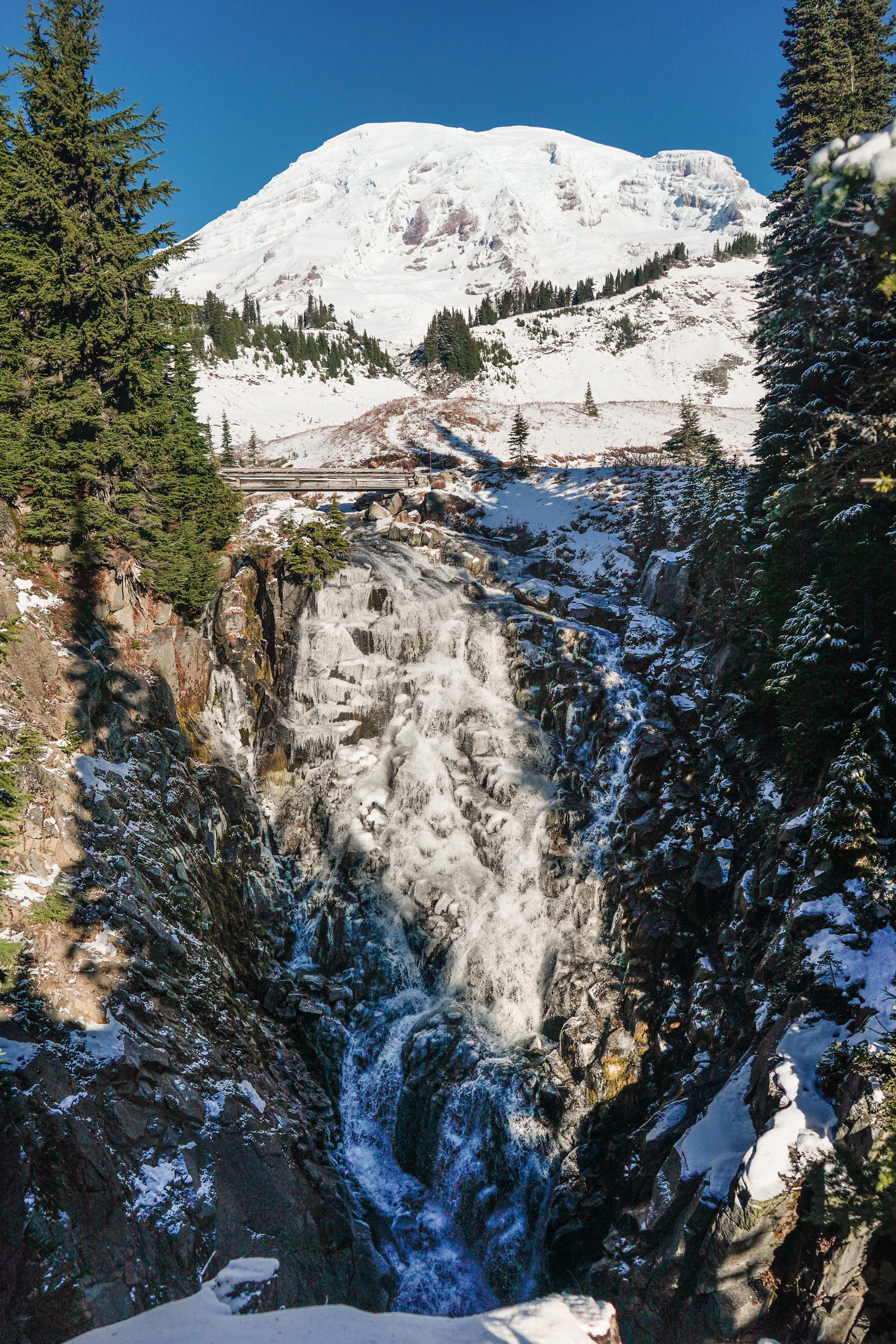
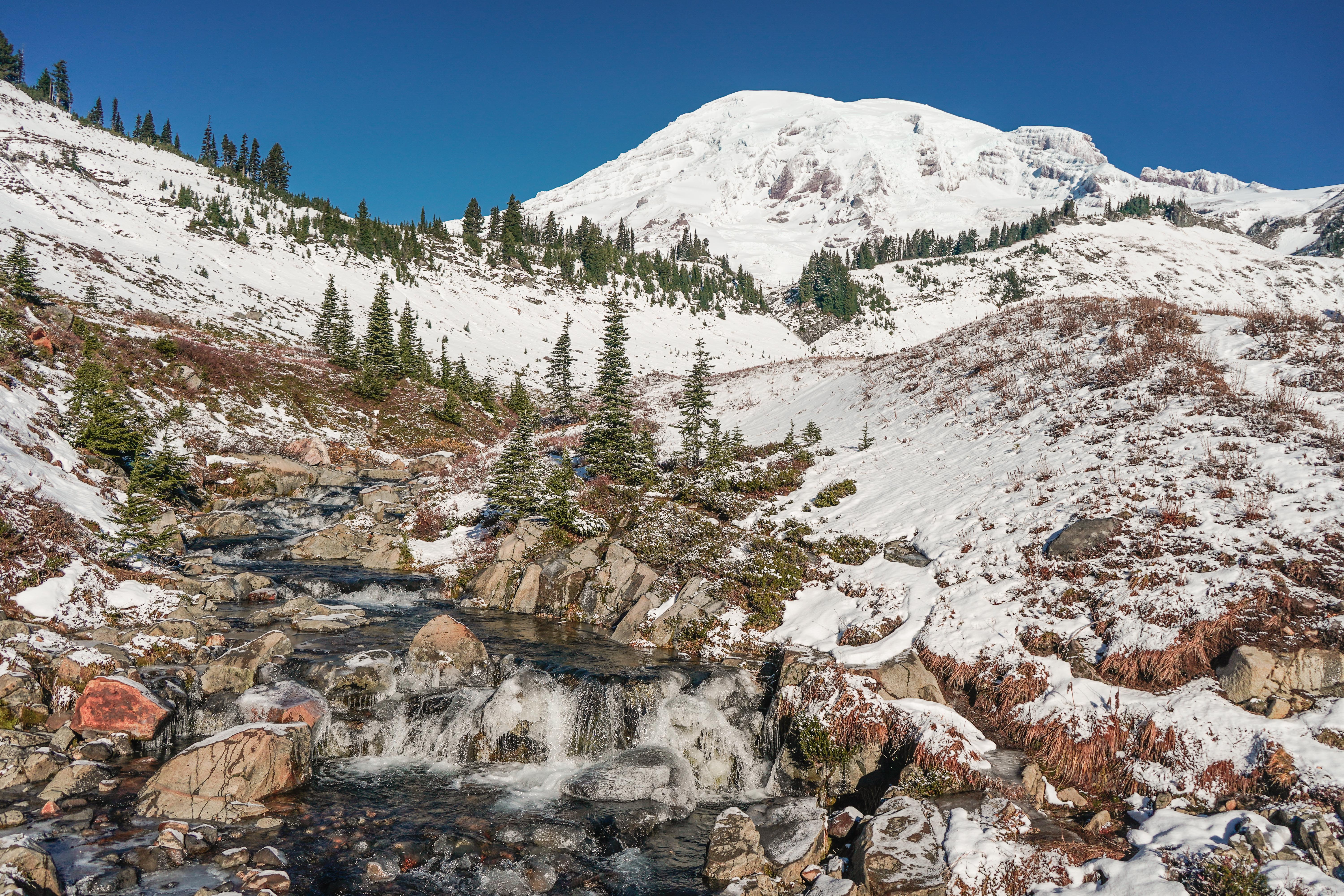
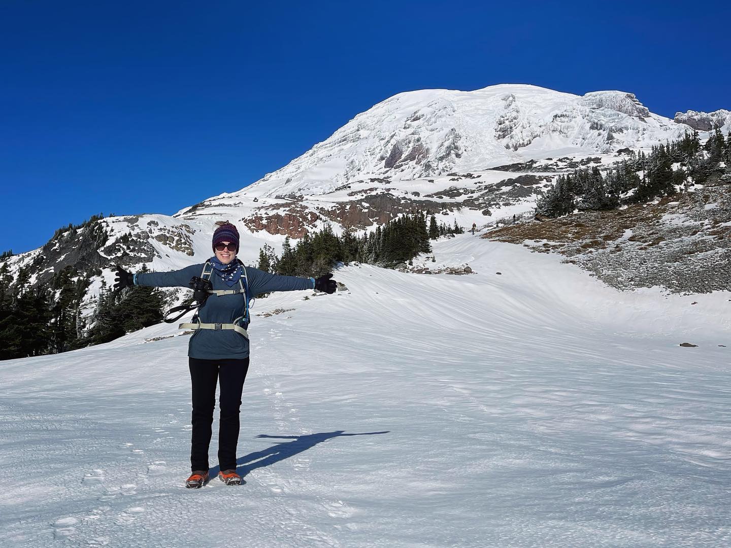
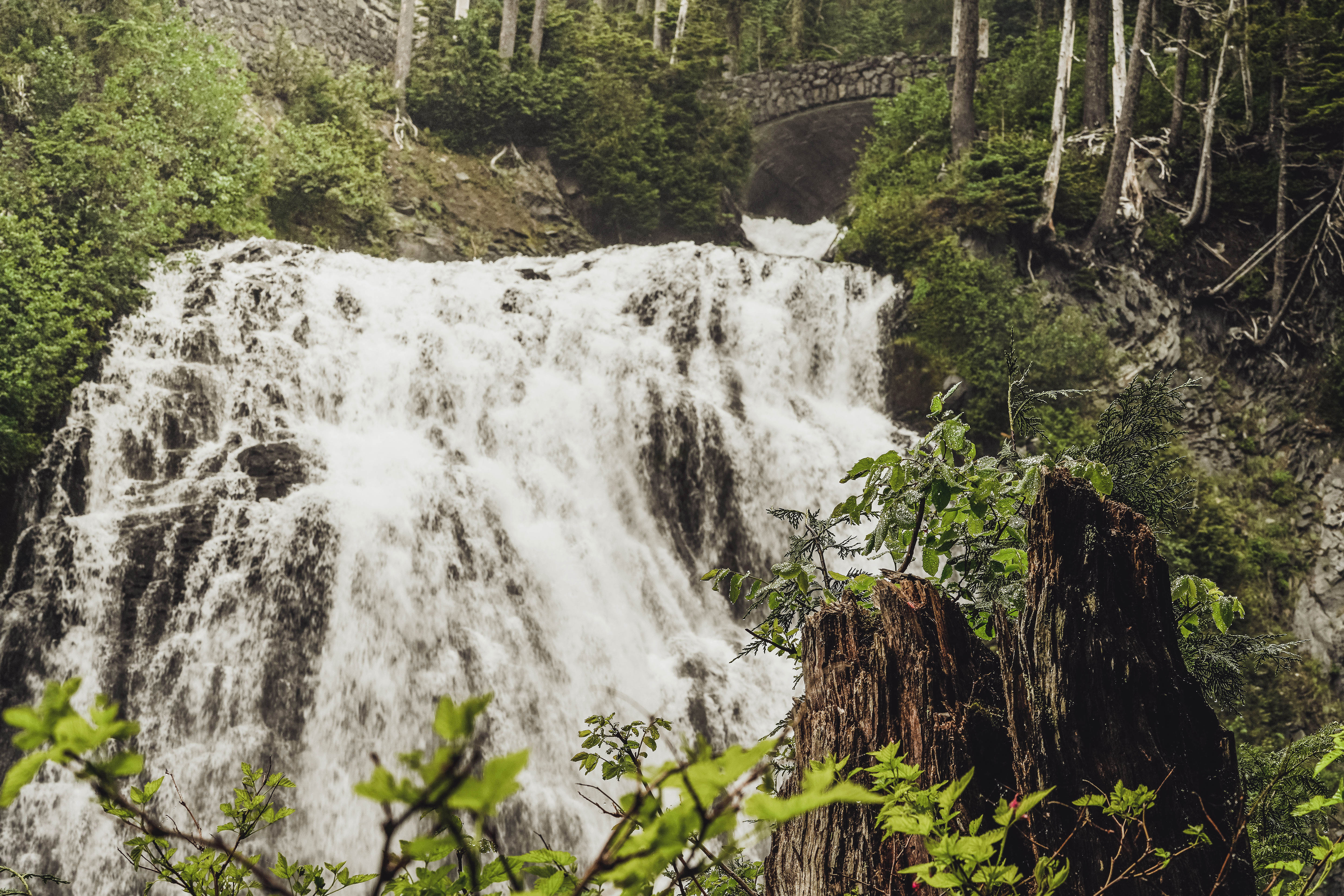
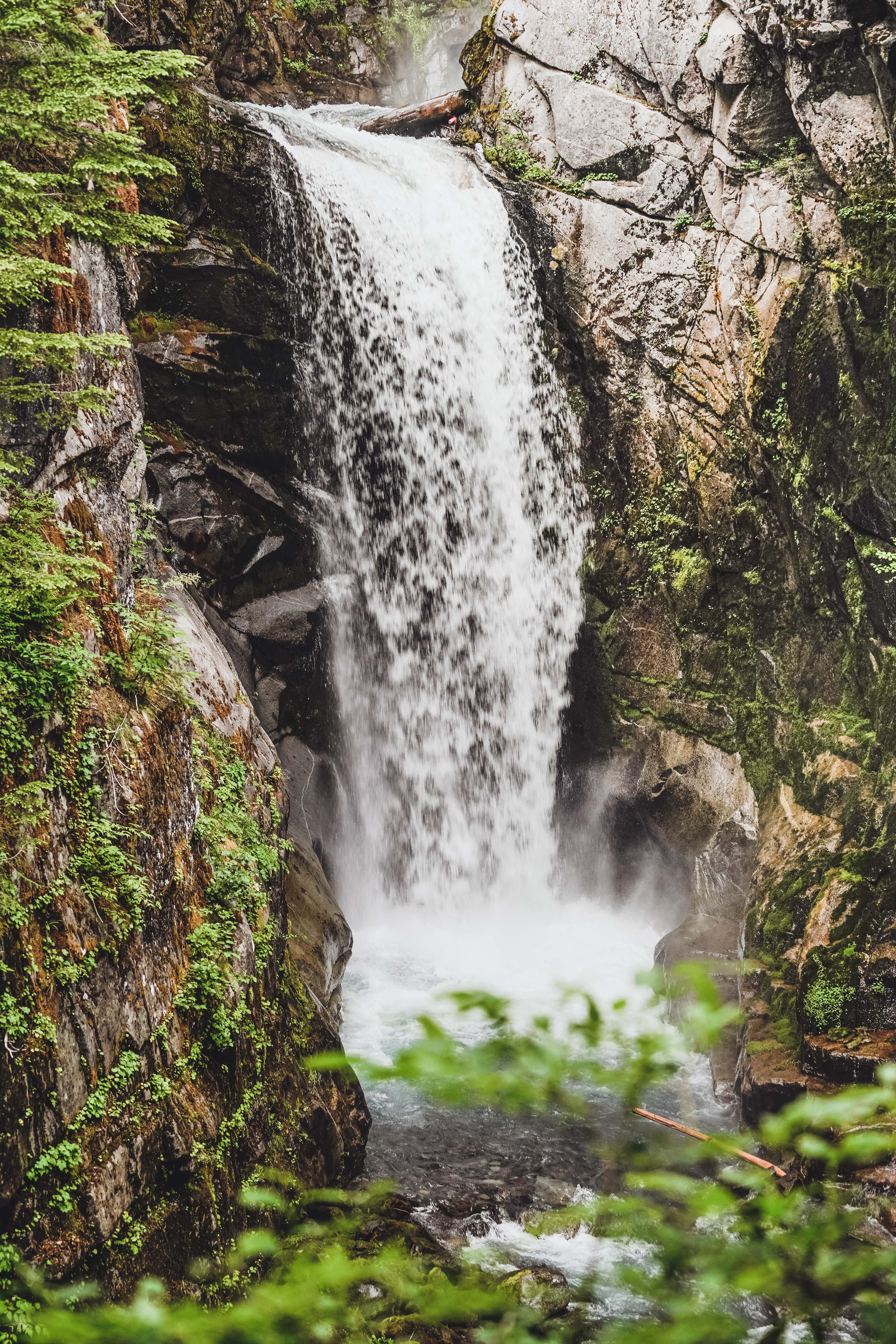
23: Golden Gate Trail, Panorama Point & Skyline Trail, 10/30/2021 | 5 miles • 4 hours • 1,700 feet gain
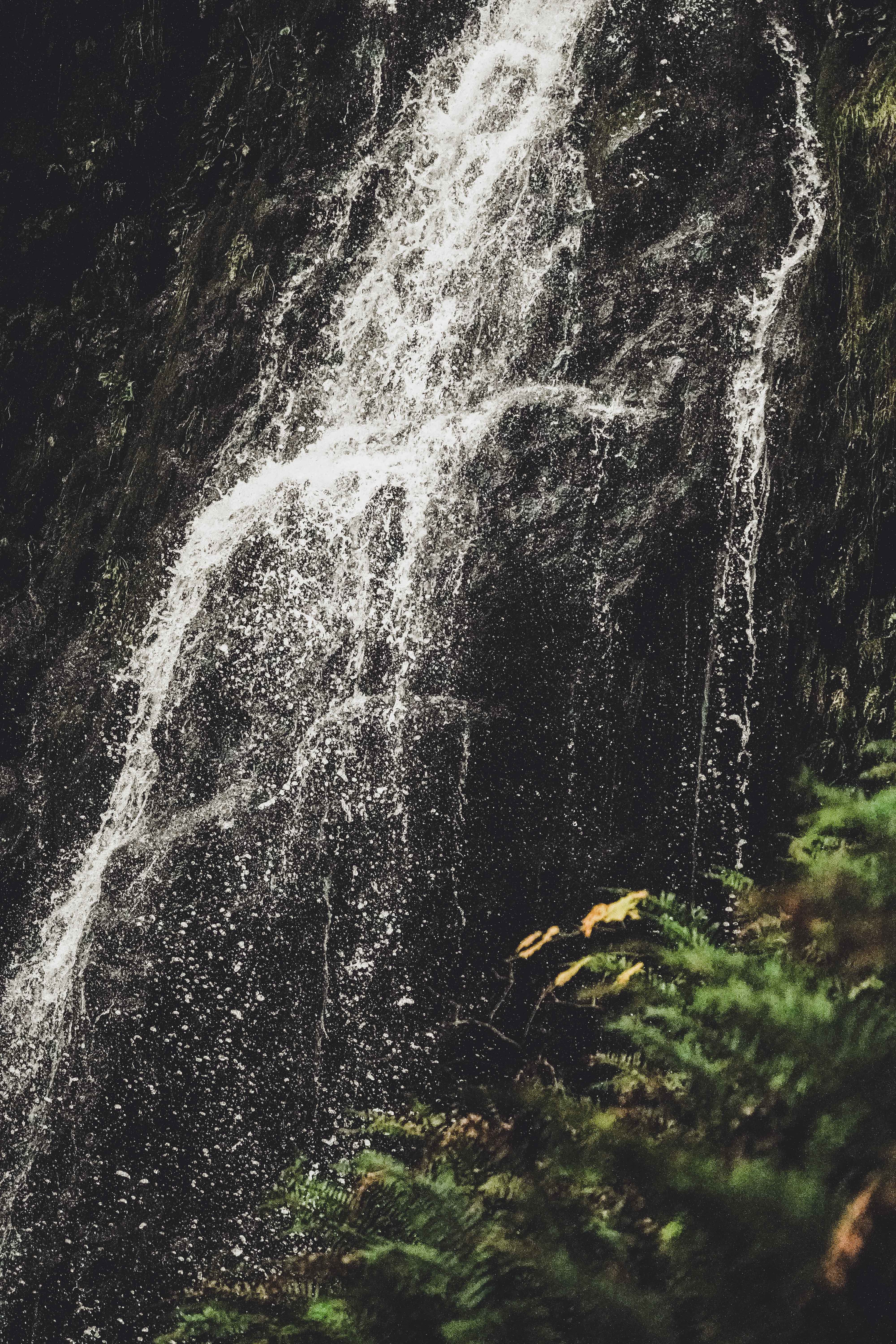
Completed with Dad. Cold and frosty morning up at Paradise. Started off on Skyline Trail to the Myrtle Falls viewpoint. With Mount Rainier looming in the background, Myrtle Falls tumbles 72 feet down into Edith Creek Gorge. then headed up Golden Gate Trail to Upper Skyline. We were following a trio of other hikers who were breaking trail for us, but it was still rough going in the fresh snow. Snowshoes would have been better but the microspikes definitely helped. As we got closer to Panorama Point, the bitter wind was really howling, so we headed down Pebble Creek back to Skyline. Just under 5 miles and about 1,700 feet gain.
Honorable Mention
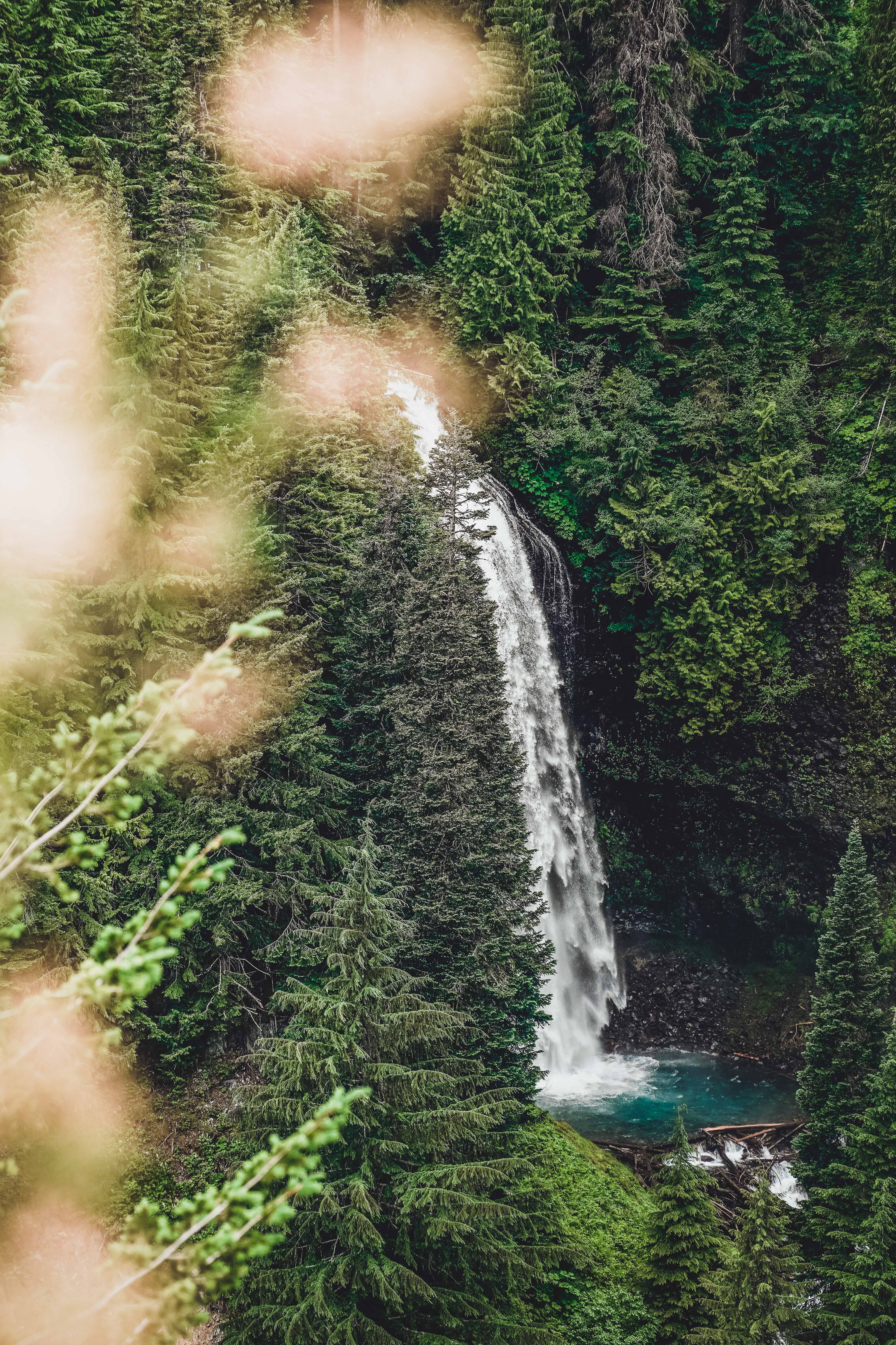
When Mom visited in July we spent the day at Mt. Rainier. Among the pit stops we made was a muddy .1 mile walk to the Narada Falls viewpoint, and about 1 mile on Skyline Trail to a short distance beyond Myrtle Falls.


